Distance trails Visit Luxembourg
Description
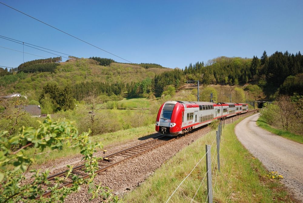
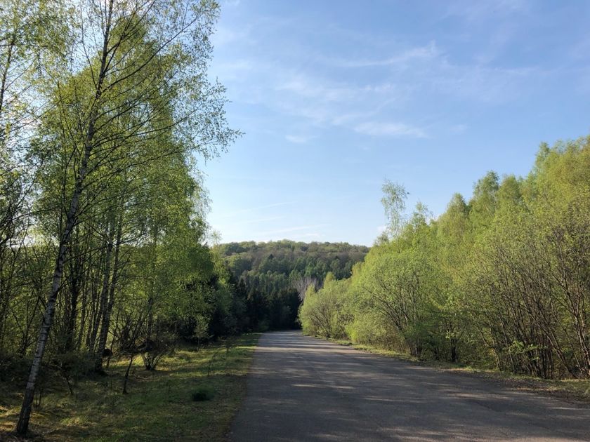
Hike between the railway stations Oberkorn and Niederkorn
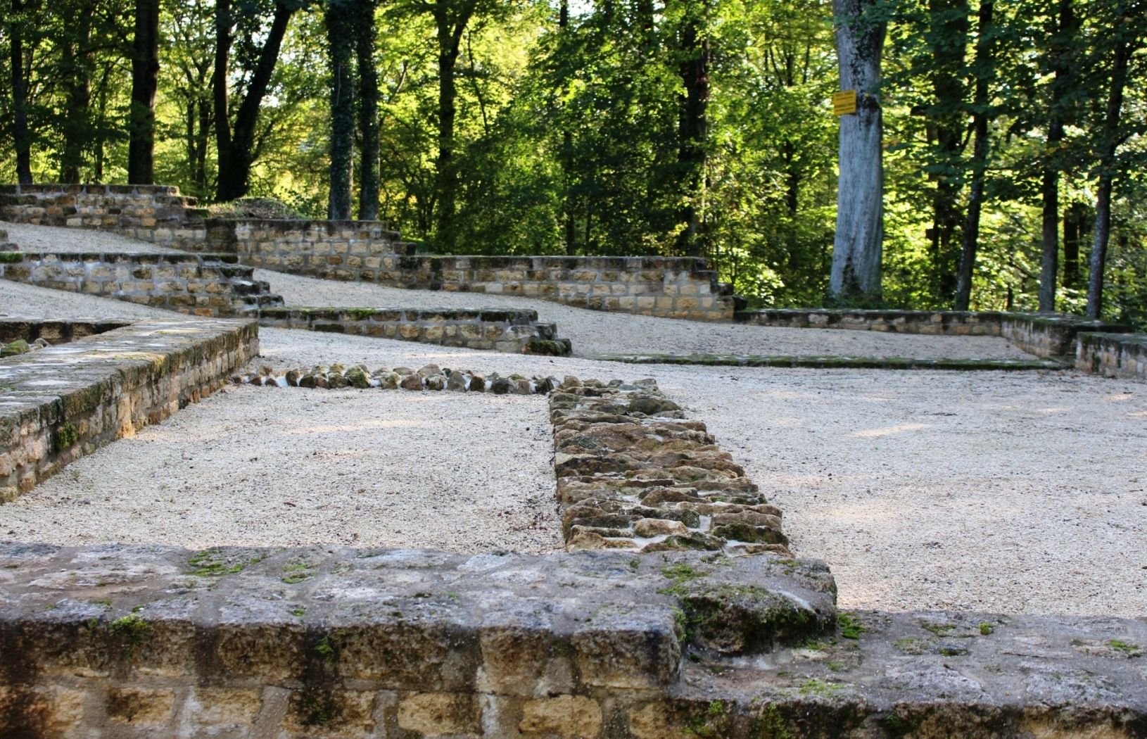
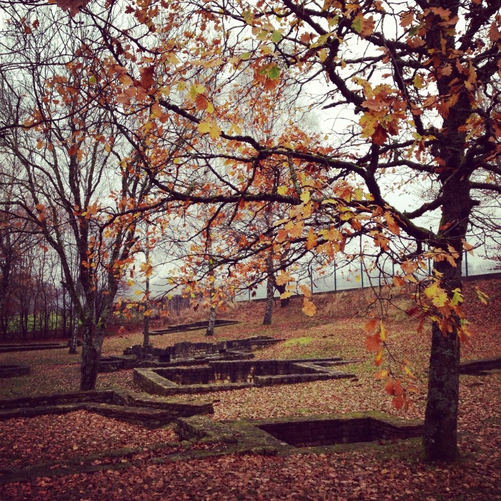
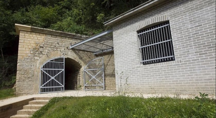
The route runs entirely along the national hiking trail Sentier du Sud and begins with a view of the former open-pit mining area Ronnebierg near the border with France. After the Vesquenhaff farmstead, the path leads over the wooded heights west of Differdange to the railway station of Niederkorn.
Signposting
Directions
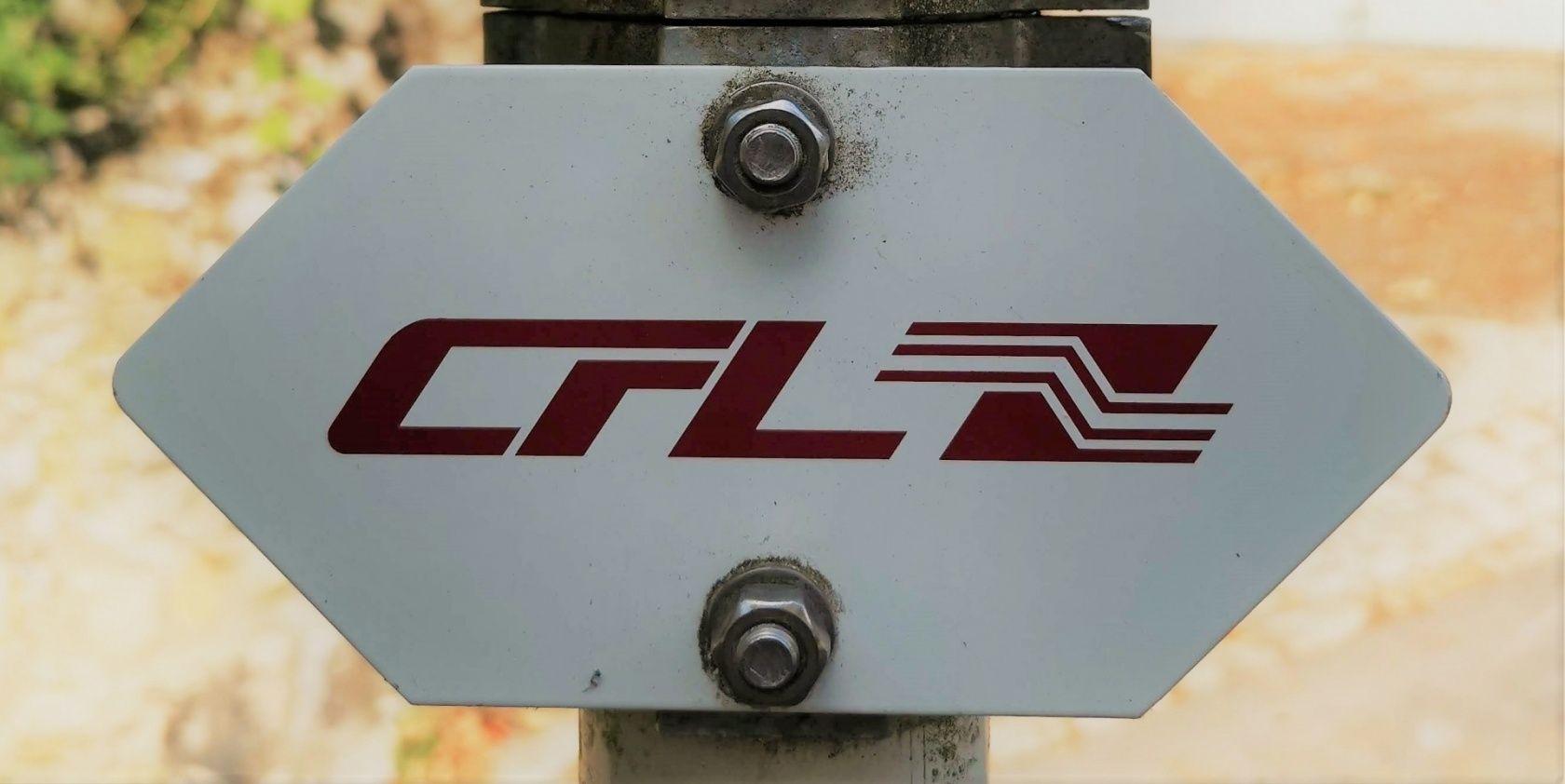
Follow the signposts with the "CFL" symbol
For your safety
The hiking trail leads over steep ascents and uneven terrain; therefore, please remember sturdy footwear and weatherproof clothing.
Equipment
Remember to bring enough drinking water and some food.
Journey
Public transport:
Parking:
Starting point at the Niederkorn and Oberkorn railway stations
Parking:
Public parking available on site


 This website uses technology and content from the Outdooractive Platform.