Luxembourg City Éislek Müllerthal Mosel Minett Guttland Germany France

21 Station to station Bettembourg - Dudelange-Burange

Starting point
Bettembourg train station, Place de la gare, 3260 Bettembourg
Destination
Dudelange-Burange train station, 231 Route de Burange, 3429 Dudelange
Distance
14,66 km
Duration
3:45 h
Difficulty
medium
  • Condition
  • Technique
Highest point
303 Hm
Lowest point
254 Hm
Distance trails Daniel O.

Description
Scenic

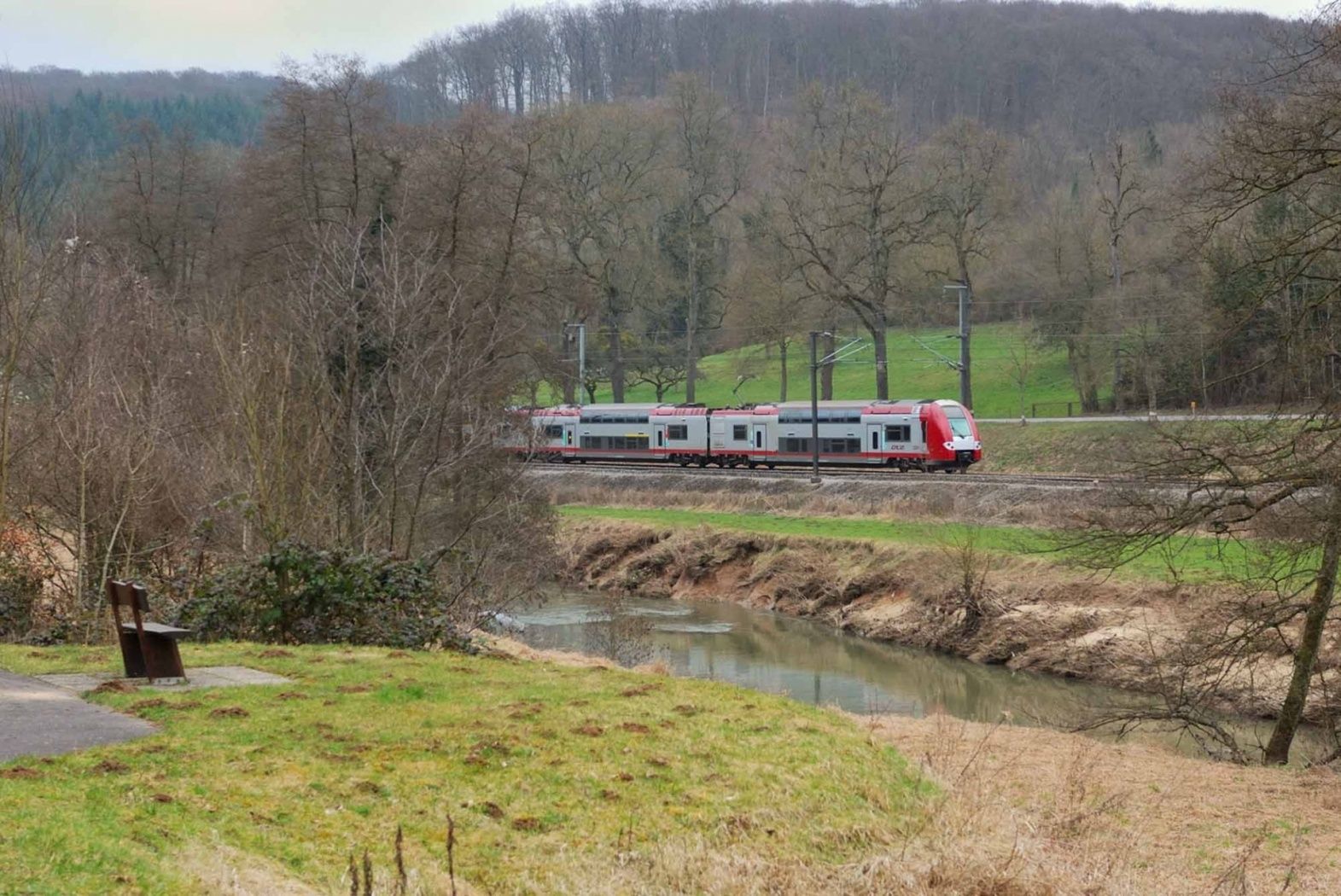
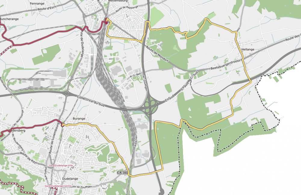
Hike between two train stations, from Bettembourg to Dudelange-Burange

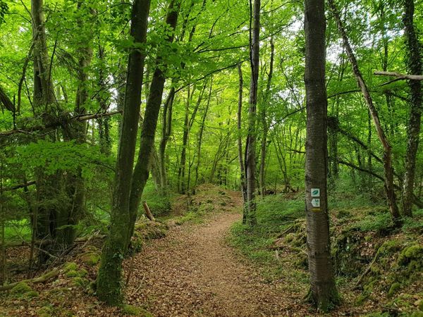
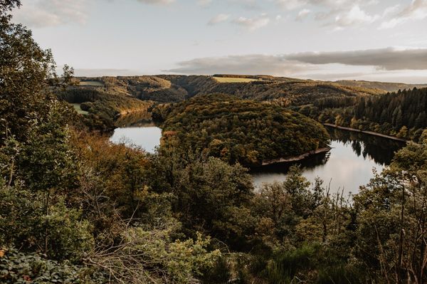
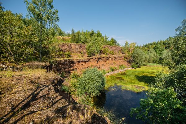
Right from the start, the route crosses the municipal park Jacquinot, following the nice Promenade du Soleil ("Sun promenade") set up on the tracks of the former regional railroad Bettembourg - Aspelt. Before reaching Hellange, the tour leads through a rural zone where the Bongert Altenhoven is located, one of the country's biggest orchards. The trail goes on via wooded area at the French border, then to Dudelange running alongsite the Parc Léi.

© CFL

for tour routing
21-station-to-station-bettembourg-dudelange-burange gpx

Suggestions nearby

21 Station to station Bettembourg - Dudelange-Burange

  • Fairytale park Bettembourg
    free
    with theLuxembourgCard
    Fairytale Park
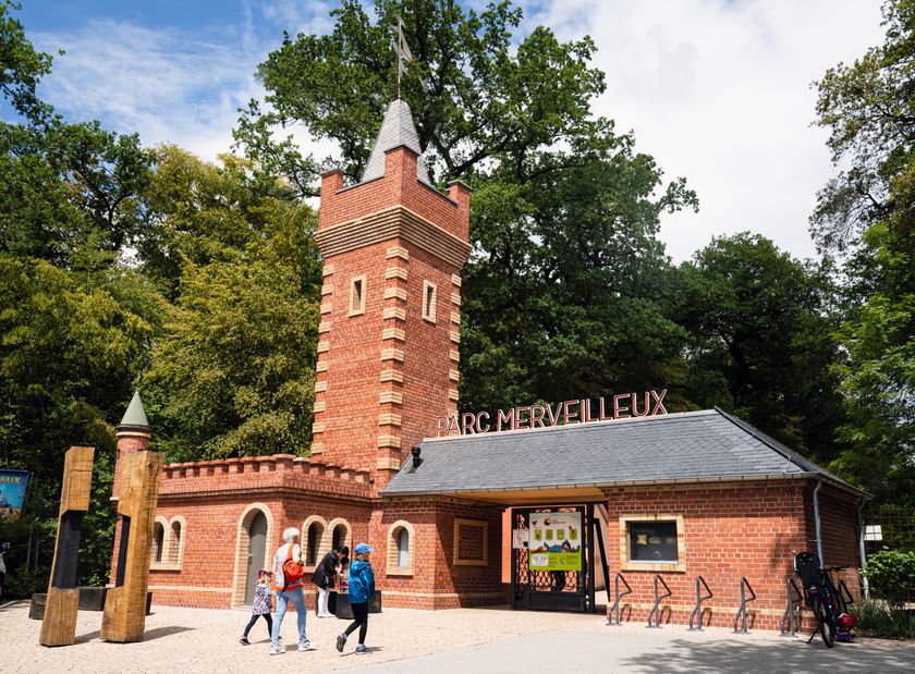
    Bettembourg Fairytale Park: a wonderful fantasy world
    Find out more
  • Nature reserve "Um Bierg"
    Nature reserve "Um Bierg"
    Find out more
  • Parc Le'h Adventures
    Parc Le'h Adventures Dudelange
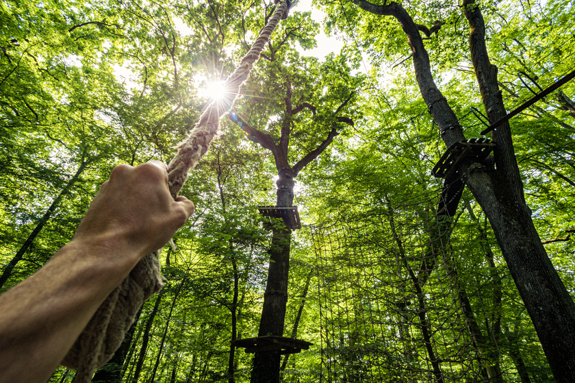
    Climbing among the treetops at the Parc Le’h
    Find out more
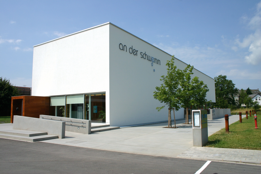
  • An der Schwemm Bettembourg
    Swimming centre “An der Schwemm”
    “An der Schwemm” swimming and wellness centre
    Find out more

Similar hiking tours

Circular routes
Local hiking trail - B7
Distance: 11,57 km
Duration: 3:15 h
Difficulty: medium
Find out more
Thematic paths
Circular hiking trail through the Deweilskopp nature reserve
Distance: 8,50 km
Duration: 2:27 h
Difficulty: medium
Find out more
Circular routes
Auto-pédestre trail Hollenfels
Distance: 9,42 km
Duration: 2:35 h
Difficulty: medium
Find out more
Circular routes
Local hiking trail - C5
Distance: 5,26 km
Duration: 1:36 h
Difficulty: medium
Find out more
Dream loops
Traumschleife Schengen grenzenlos / sans frontières
Distance: 8,54 km
Duration: 3:30 h
Difficulty: medium
Find out more
Circular routes
Auto-pédestre trail Heisdorf
Distance: 7,94 km
Duration: 2:25 h
Difficulty: medium
Find out more
Circular routes
Auto-pédestre trail Bourglinster
Distance: 7,96 km
Duration: 2:15 h
Difficulty: medium
Find out more
Dream loops
Traumschleife Manternacher Fiels
Distance: 9,57 km
Duration: 3:30 h
Difficulty: medium
Find out more
Dream loops
Traumschleife Wein- und Naturpfad Palmberg
Distance: 9,03 km
Duration: 2:50 h
Difficulty: medium
Find out more
outdooractive This website uses technology and content from the Outdooractive Platform.