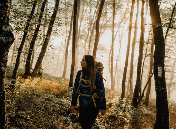
© Visit Luxembourg
Müllerthal Germany France

Local hiking trail - B7

Starting point
Beaufort: castles
Destination
Beaufort: castles
Distance
11,57 km
Duration
3:15 h
Difficulty
medium
  • Condition
Highest point
415 Hm
Lowest point
257 Hm
Aggregated Ascent
182 Hm
Aggregated Descent
182 Hm
Circular routes Visit Luxembourg

Description

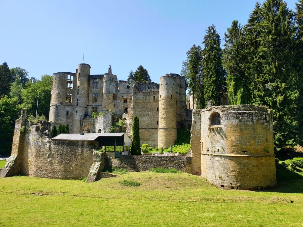
Long hike, mainly leading over Route 3 of the Mullerthal Trail. Highlights are the castle in Beaufort, wild valleys and spectacular rock formations.

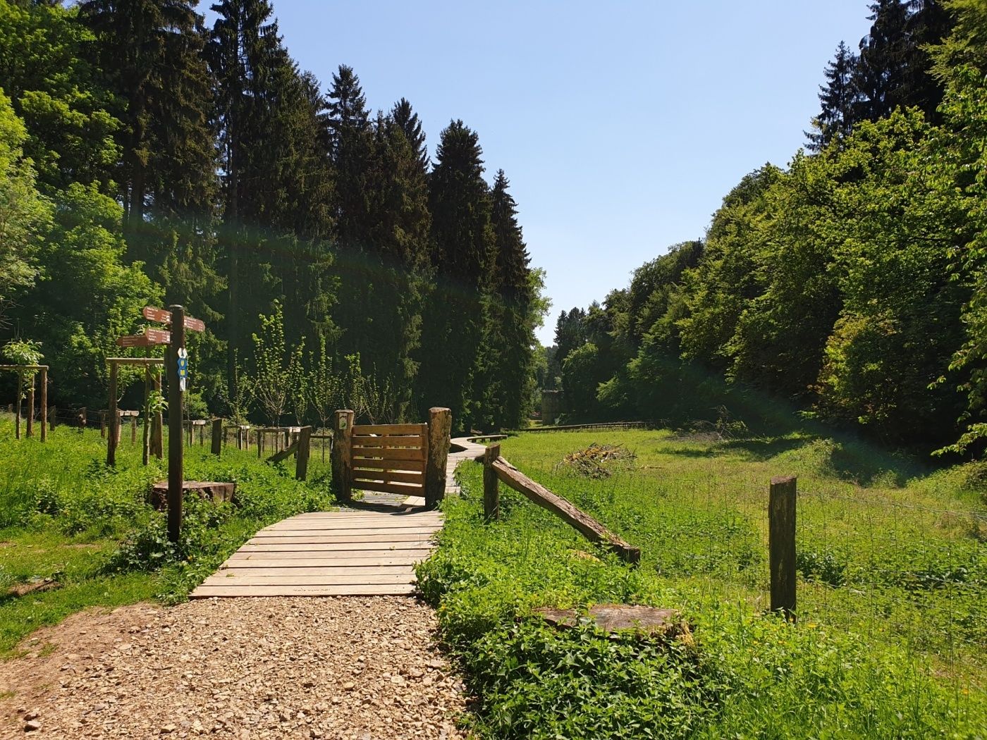
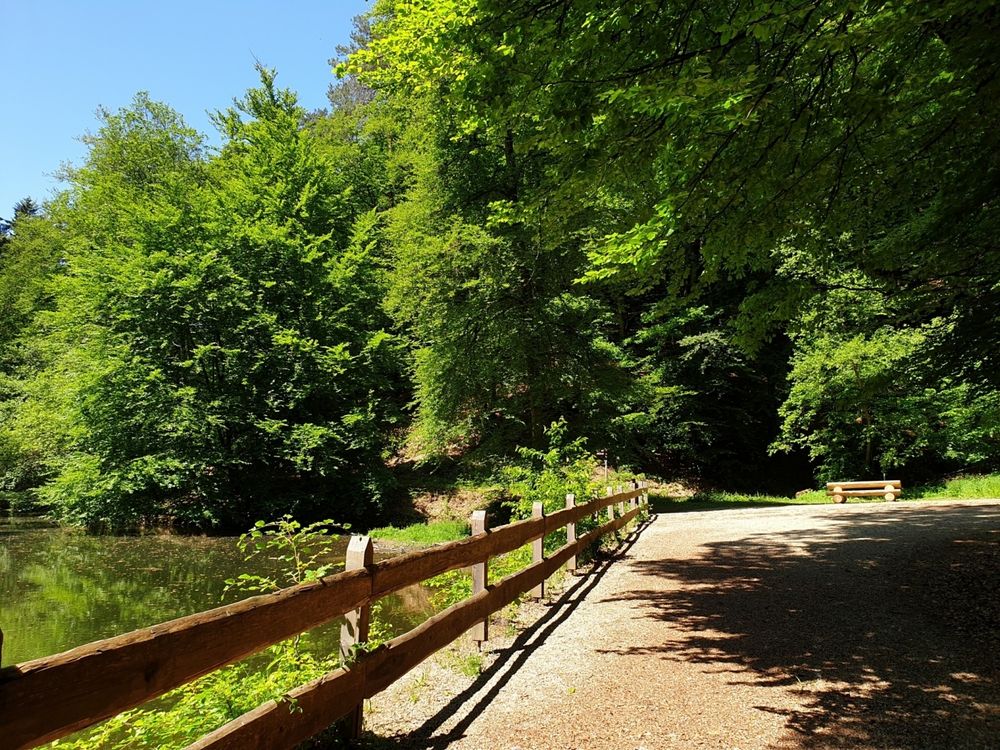
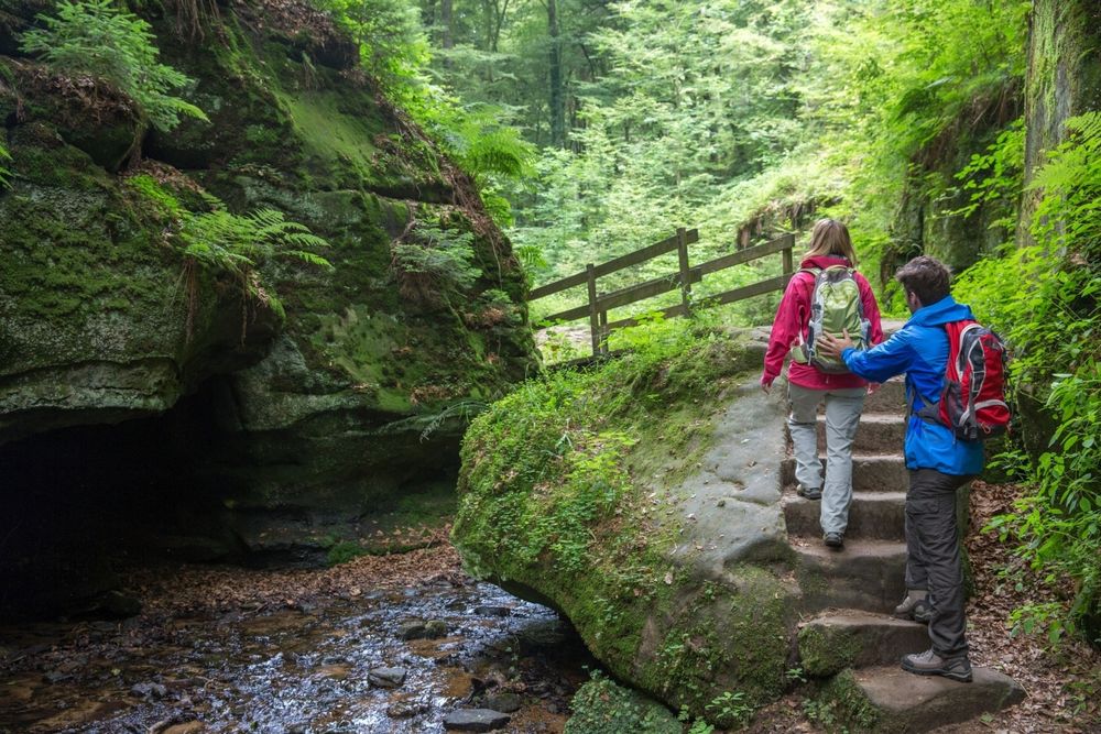
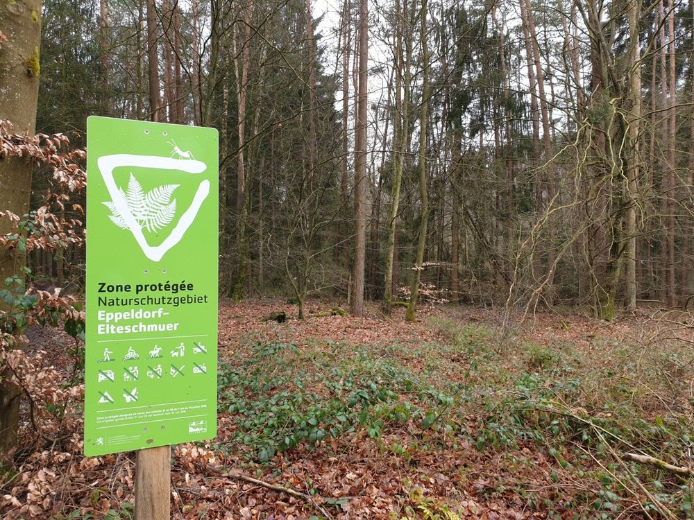
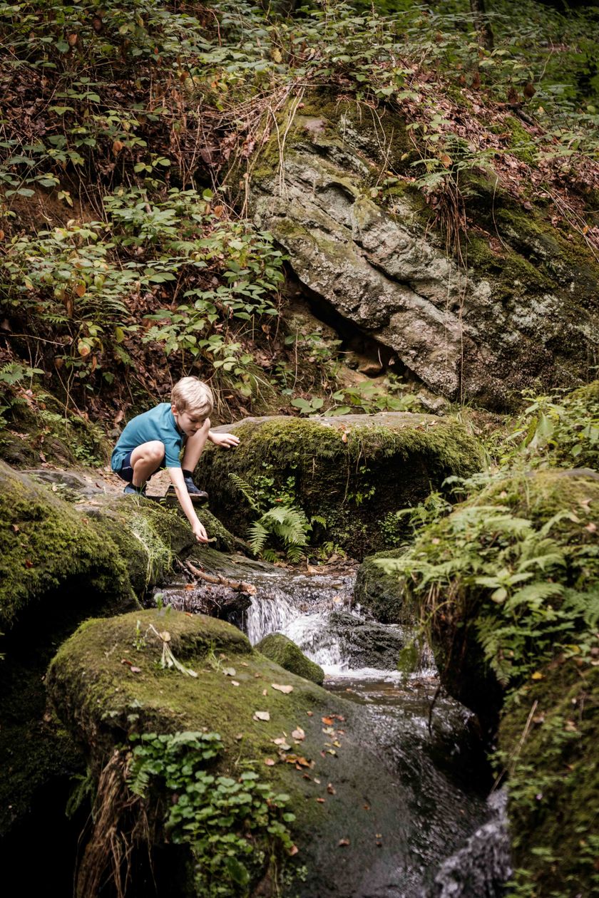
The trail leads through forests and along the wildly romantic creeks of Haupeschbaach and Halerbaach. You get different perspectives in all the seasons.

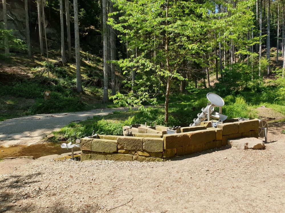
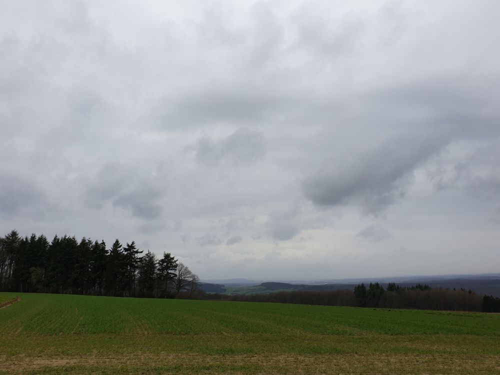
You start at Beaufort castle and pass by Klingelbur, an old washbasin. The hike also leads along the ancient refuge castle of Alebuerg and then Grevenhaff where you will enjoy a beautiful view.

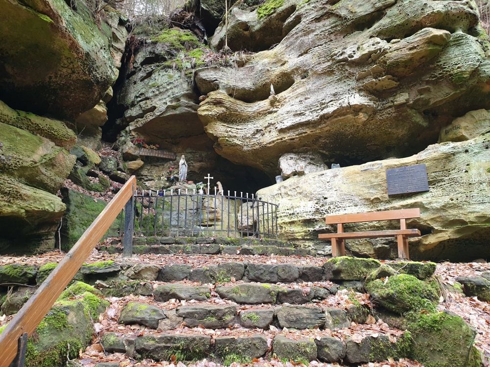
You wind your way back to the starting point along spectacular rock formations like Ellerlee and Brenteschlee.


Suggestions nearby

Local hiking trail - B7

  • Mëllerdall UNESCO Global Geopark
    Mëllerdall UNESCO Global Geopark
    Find out more
  • © Restaurant de l'Auberge Rustiqu
    Restaurant de l'Auberge Rustique
    Restaurant de l'Auberge Rustique
    Find out more
  • © Pancake! Photographie
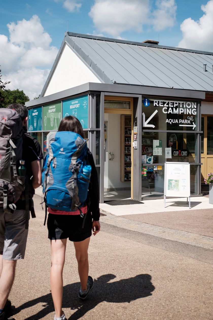
    Tourist Info Beaufort
    Tourist Info Beaufort
    Find out more
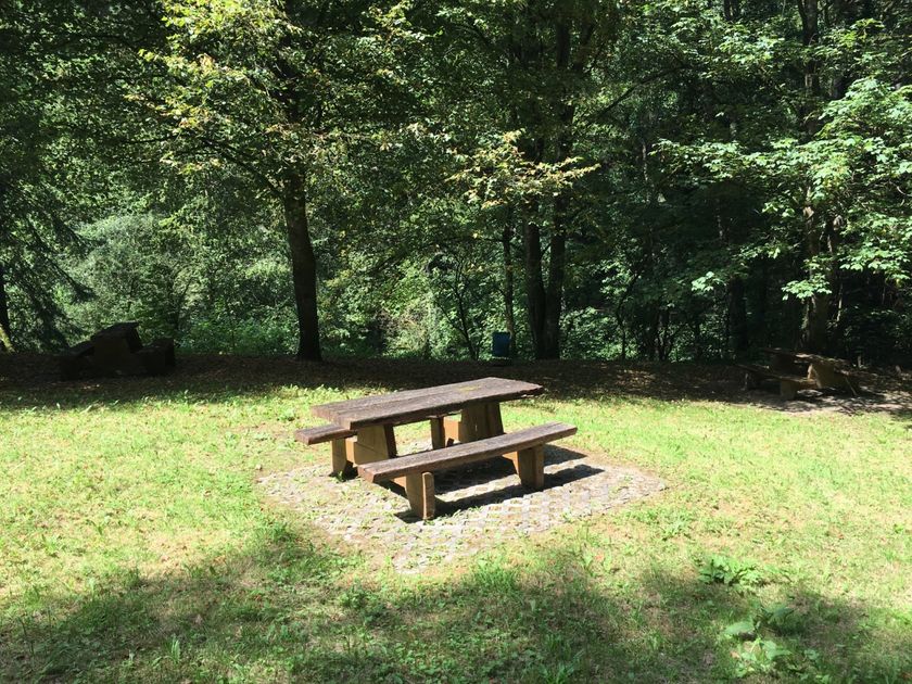
  • Picnic area Halermillen
    Picnic area Halermillen
    Find out more
  • © Jos Nerancic
    free
    with theLuxembourgCard
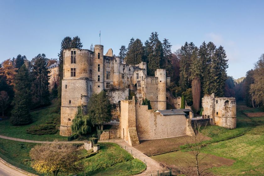
    Beaufort Castles
    Immerse yourself in the history of the medieval castle and discover how the last occupant lived in the Renaissance castle.
    Find out more
  • Parking - Castle of Beaufort
    Parking - Castle of Beaufort
    Find out more
  • © PANCAKE! Photographie
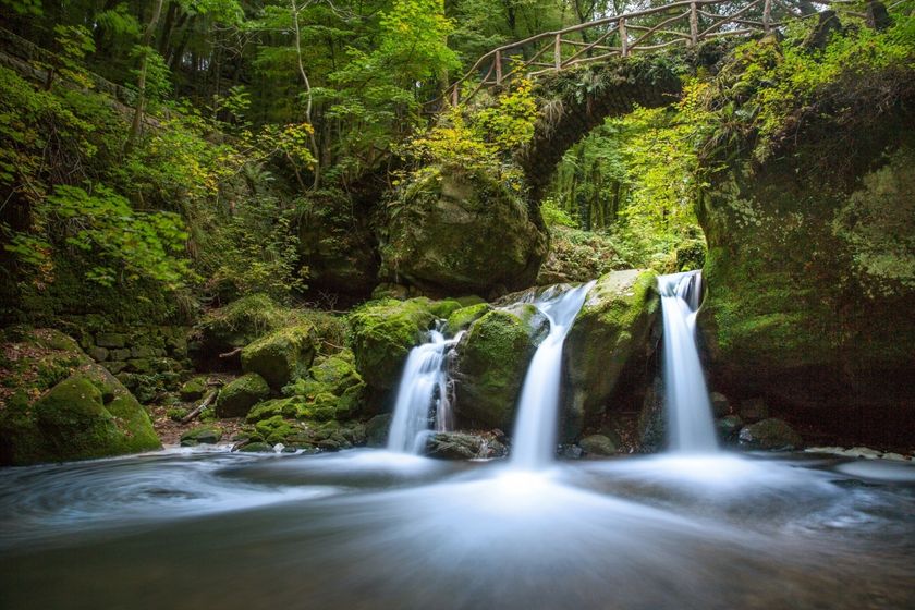
    Creek valleys “Haupeschbaach and Halerbaach”
    Hike along the wild-romantic, bubbling streams Haupeschbaach and Halerbaach
    Find out more

Similar hiking tours

© Visit Luxembourg
Distance trails
21 Station to station Bettembourg - Dudelange-Burange
Distance: 14,66 km
Duration: 3:45 h
Difficulty: medium
Find out more
© CFL, Visit Luxembourg
Distance trails
22 Station to Station Dudelange - Burange - Rumelange
Distance: 10,22 km
Duration: 3:05 h
Difficulty: medium
Find out more
© ORT Sud
Distance trails
23 Station to station Rumelange - Kayl
Distance: 12,57 km
Duration: 3:25 h
Difficulty: medium
Find out more
© Claude Piscitelli, Visit Luxembourg
Distance trails
24 Station to station Belvaux-Soleuvre - Belval-Université
Distance: 4,17 km
Duration: 1:05 h
Difficulty: medium
Find out more
© Visit Luxembourg
Distance trails
25 Station to station Kayl - Schifflange - Esch-sur-Alzette
Distance: 21,71 km
Duration: 6:05 h
Difficulty: medium
Find out more
© Pulsa Pictures, ORT SUD
Distance trails
26 Station to station Esch-sur-Alzette - Belvaux-Soleuvre
Distance: 9,05 km
Duration: 2:30 h
Difficulty: medium
Find out more
© Visit Luxembourg
Distance trails
27 Station to station Belvaux-Soleuvre-Oberkorn
Distance: 5,20 km
Duration: 1:25 h
Difficulty: medium
Find out more
© ORT Sud
Distance trails
28 Station to station Oberkorn - Niederkorn
Distance: 8,69 km
Duration: 2:25 h
Difficulty: medium
Find out more
© ORT Sud
Distance trails
29 Station to station Niederkorn - Rodange
Distance: 10,12 km
Duration: 2:55 h
Difficulty: medium
Find out more