© Unknown
Müllerthal Germany France

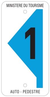
Auto-pédestre trail Beaufort

Starting point
Beaufort: Parking Këppeglee
Destination
Beaufort: Parking Këppeglee
Distance
5,72 km
Duration
1:39 h
Difficulty
medium
  • Condition
  • Technique
Highest point
318 Hm
Lowest point
235 Hm
Aggregated Ascent
119 Hm
Aggregated Descent
119 Hm
Circular routes Visit Luxembourg

Description

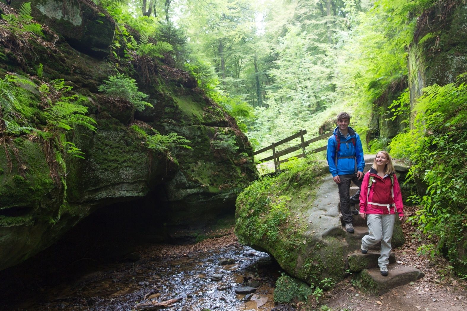
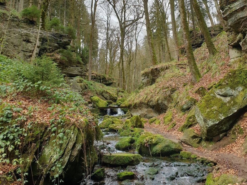
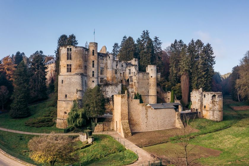
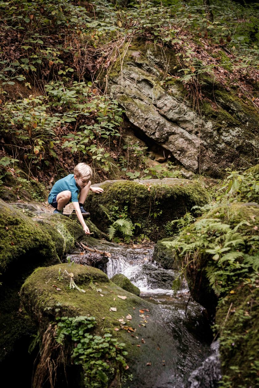
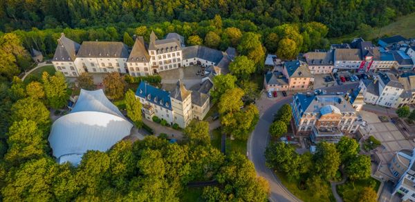
This hiking trail takes you on an enchanting journey through the rocky landscape of Beaufort and along the bubbling Halerbaach.

This hiking trail takes you on an enchanting journey through the rocky landscape of Beaufort, along the bubbling Halerbaach. This is a wild and romantic brook valley, typical of the region.

The path leads mostly through the forest and towards the end, a short stretch uphill takes you to the Beaufort plateau. The hike takes about 2 hours and you can combine it with a visit to the castles in Beaufort.


Please make sure to enable your Cookies in case you don't see this content.

Suggestions nearby

Auto-pédestre trail Beaufort

  • © PANCAKE! Photographie
    Creek valleys “Haupeschbaach and Halerbaach”
    Hike along the wild-romantic, bubbling streams Haupeschbaach and Halerbaach
    Find out more
  • Picnic area Beaufort
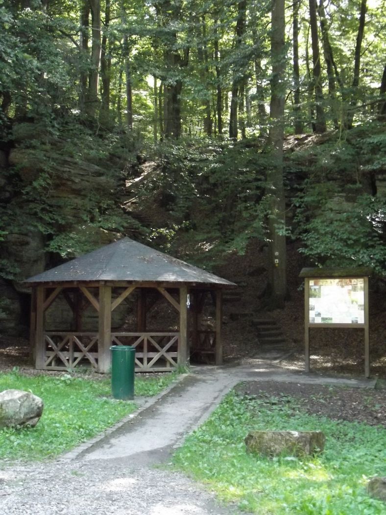
    Picnic area Beaufort
    Find out more
  • © Jos Nerancic
    free
    with theLuxembourgCard
    Beaufort Castles
    Immerse yourself in the history of the medieval castle and discover how the last occupant lived in the Renaissance castle.
    Find out more

Similar hiking tours

© © Wanderbüro Saar-Hunsrück, Klaus-Peter Kappest, SaarSchleifenLand
Dream loops
"Traumschleife" Schengen without borders
Distance: 8,54 km
Duration: 3:30 h
Difficulty: medium
Find out more
© Visit Luxembourg
Distance trails
21 Station to station Bettembourg - Dudelange-Burange
Distance: 14,66 km
Duration: 3:45 h
Difficulty: medium
Find out more
© CFL, Visit Luxembourg
Distance trails
22 Station to Station Dudelange - Burange - Rumelange
Distance: 10,22 km
Duration: 3:05 h
Difficulty: medium
Find out more
© ORT Sud
Distance trails
23 Station to station Rumelange - Kayl
Distance: 12,57 km
Duration: 3:25 h
Difficulty: medium
Find out more
© Visit Luxembourg
Distance trails
25 Station to station Kayl - Schifflange - Esch-sur-Alzette
Distance: 21,71 km
Duration: 6:05 h
Difficulty: medium
Find out more
© Pulsa Pictures, ORT SUD
Distance trails
26 Station to station Esch-sur-Alzette - Belvaux-Soleuvre
Distance: 9,05 km
Duration: 2:30 h
Difficulty: medium
Find out more
© Visit Luxembourg
Distance trails
27 Station to station Belvaux-Soleuvre-Oberkorn
Distance: 5,20 km
Duration: 1:25 h
Difficulty: medium
Find out more
© ORT Sud
Distance trails
28 Station to station Oberkorn - Niederkorn
Distance: 8,69 km
Duration: 2:25 h
Difficulty: medium
Find out more
© ORT Sud
Distance trails
29 Station to station Niederkorn - Rodange
Distance: 10,12 km
Duration: 2:55 h
Difficulty: medium
Find out more