© Visit Luxembourg
Müllerthal Germany France

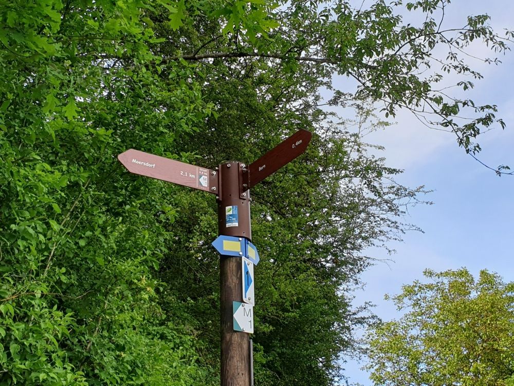
Local hiking trail - M1

Starting point
Born: School and sports complex
Destination
Born: School and sports complex
Distance
8,80 km
Duration
2:37 h
Difficulty
medium
  • Condition
  • Technique
Highest point
351 Hm
Lowest point
148 Hm
Aggregated Ascent
271 Hm
Aggregated Descent
271 Hm
Circular routes Visit Luxembourg

Description

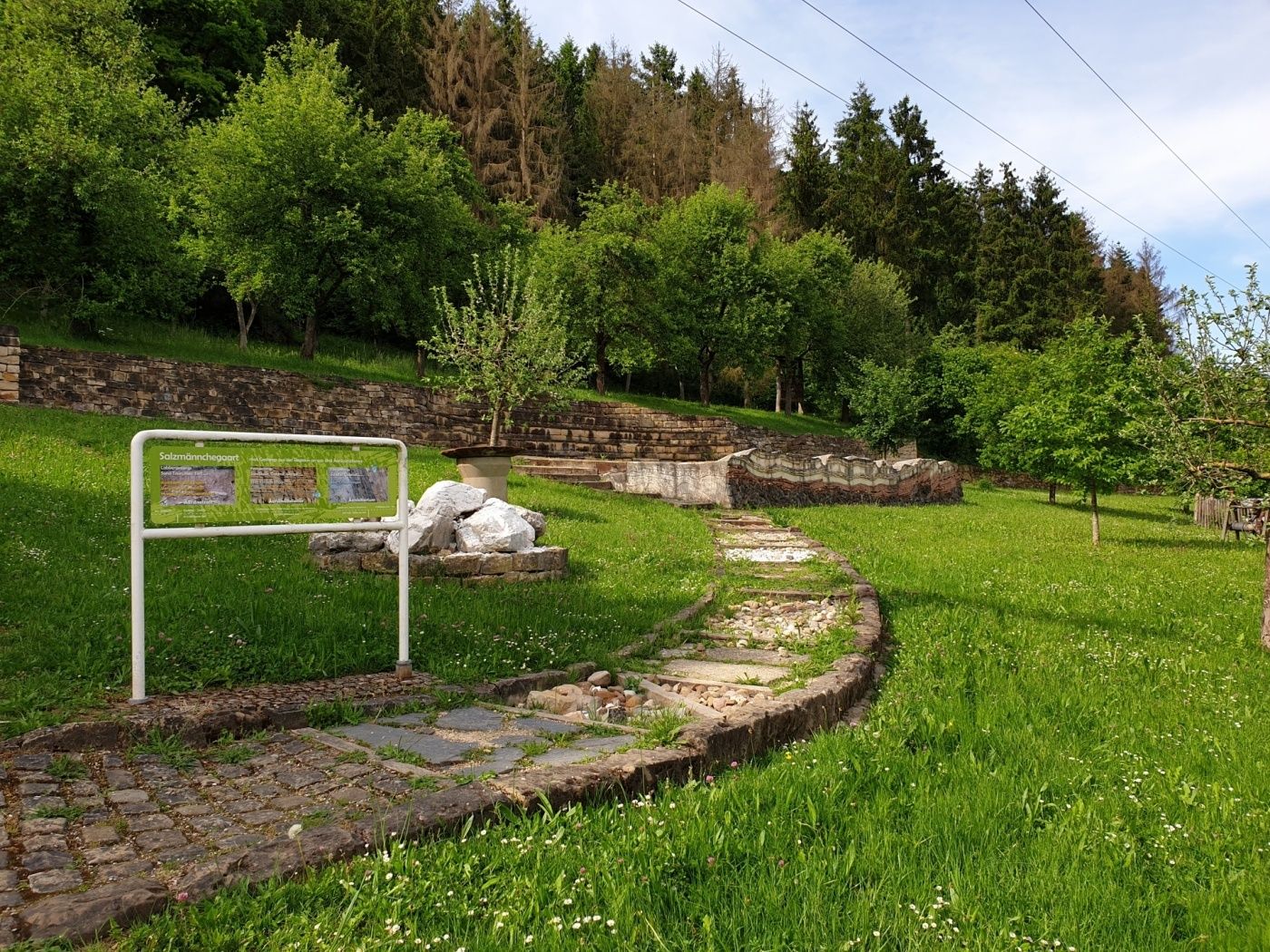
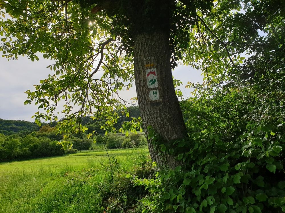
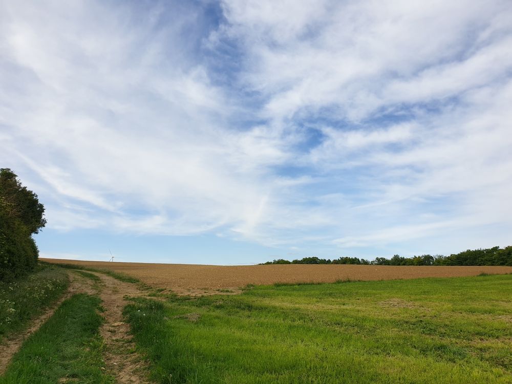
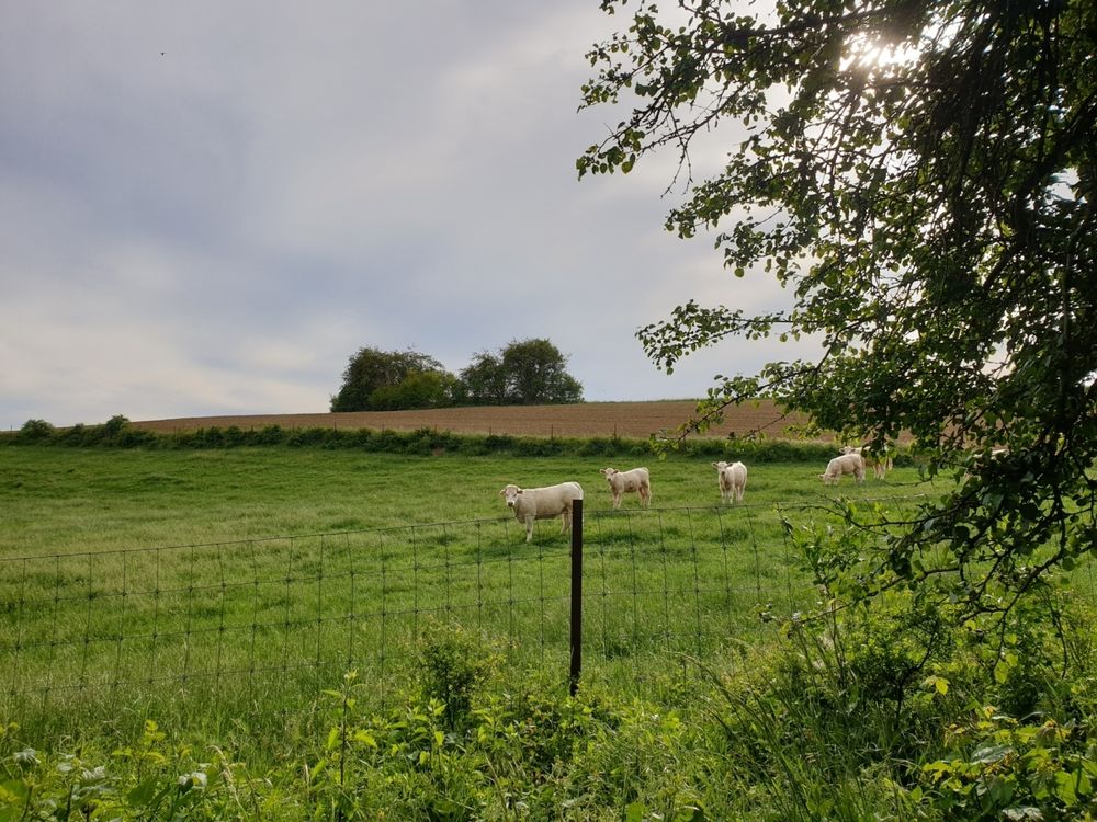
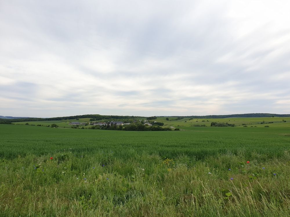
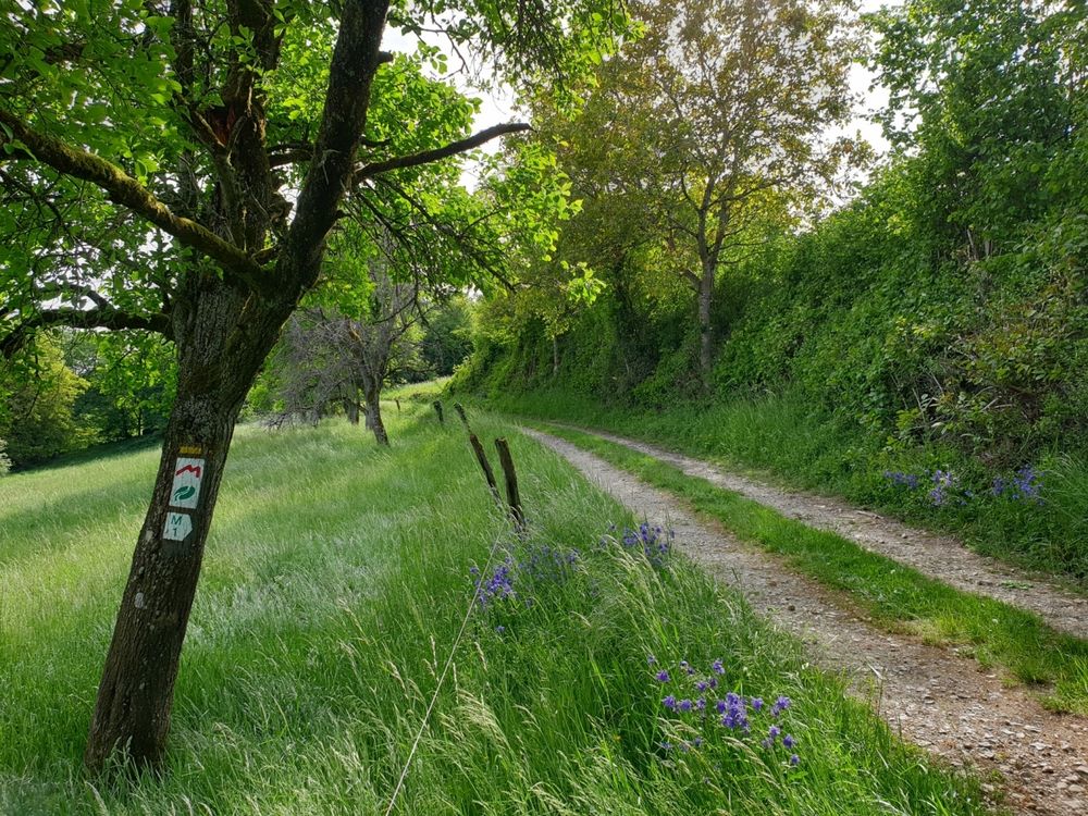
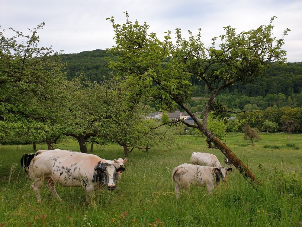
Varied hike through typical landscapes with meadow orchards, called "Bongerten" in Luxembourgish and traditional dry stone walls.

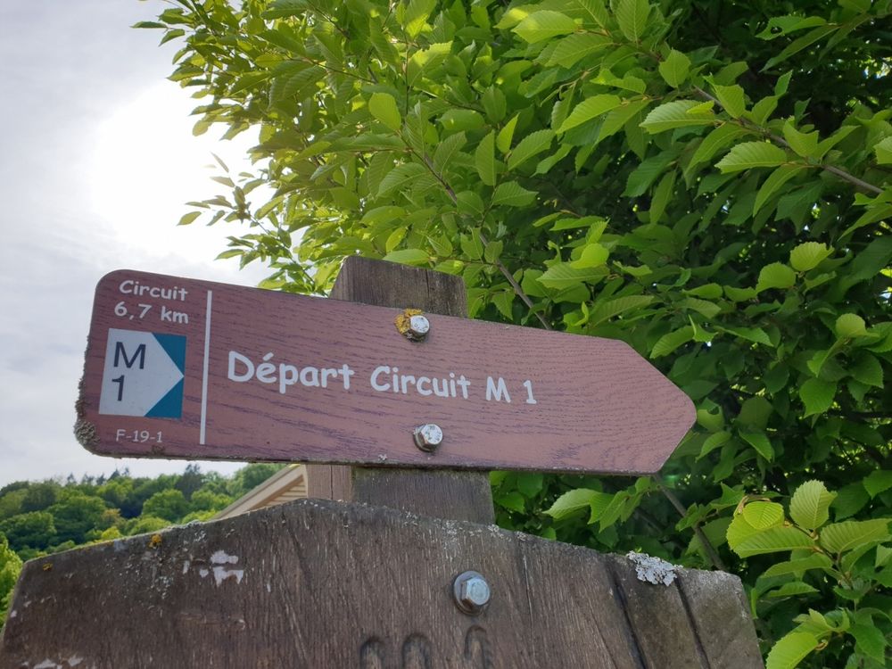
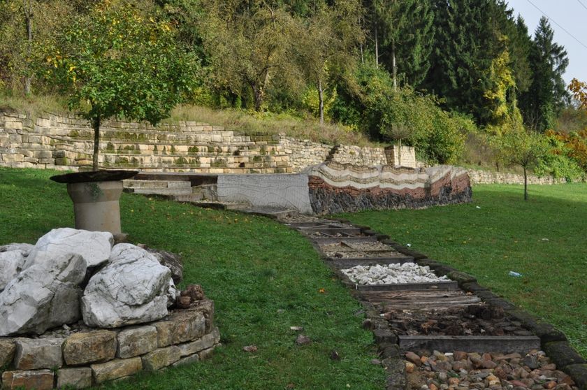
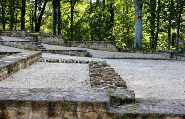
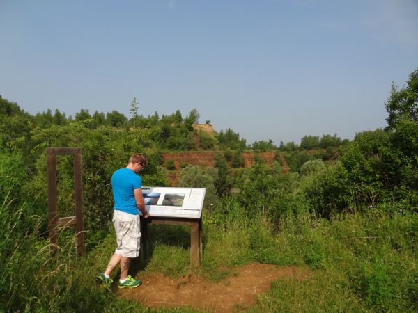
The starting point of this hike is behind the school in Born. At the starting point is the "Salzmännchegaart" including a geological barefoot path.

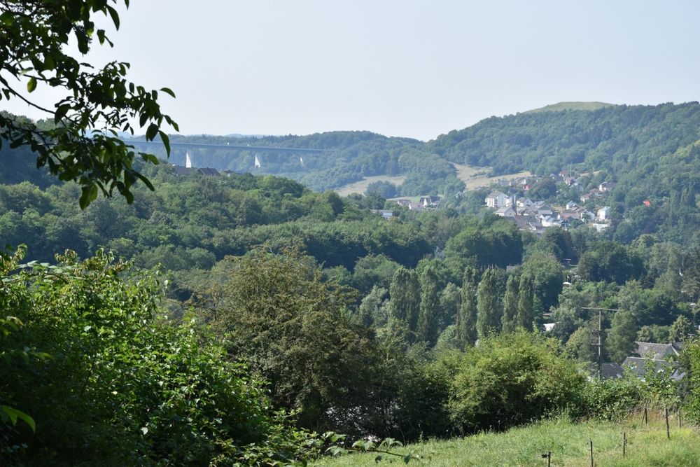
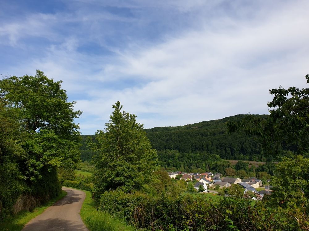
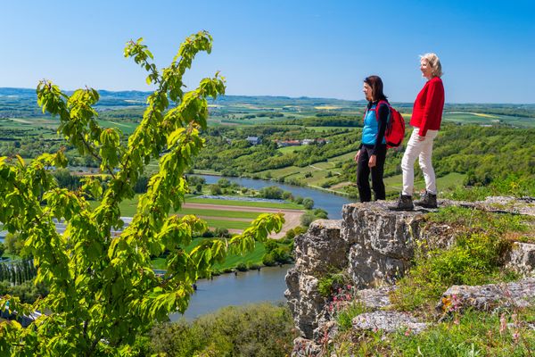
After the ascend to the Wangertsbierg, you enjoy beautiful views on Born and the Sûre valley.

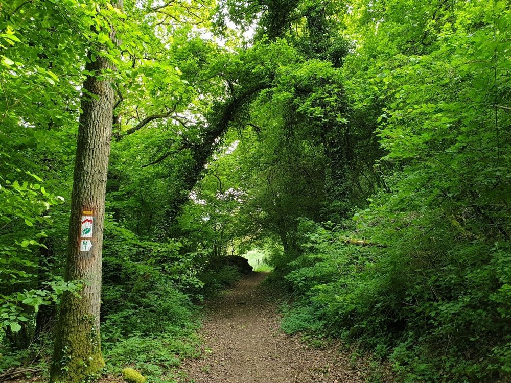
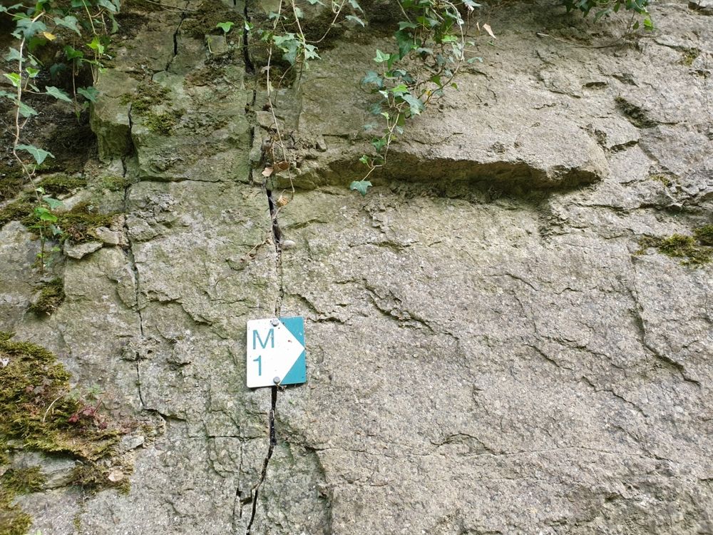
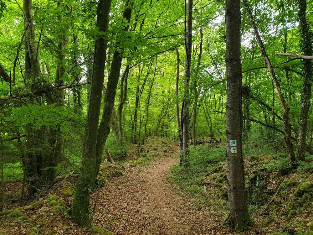
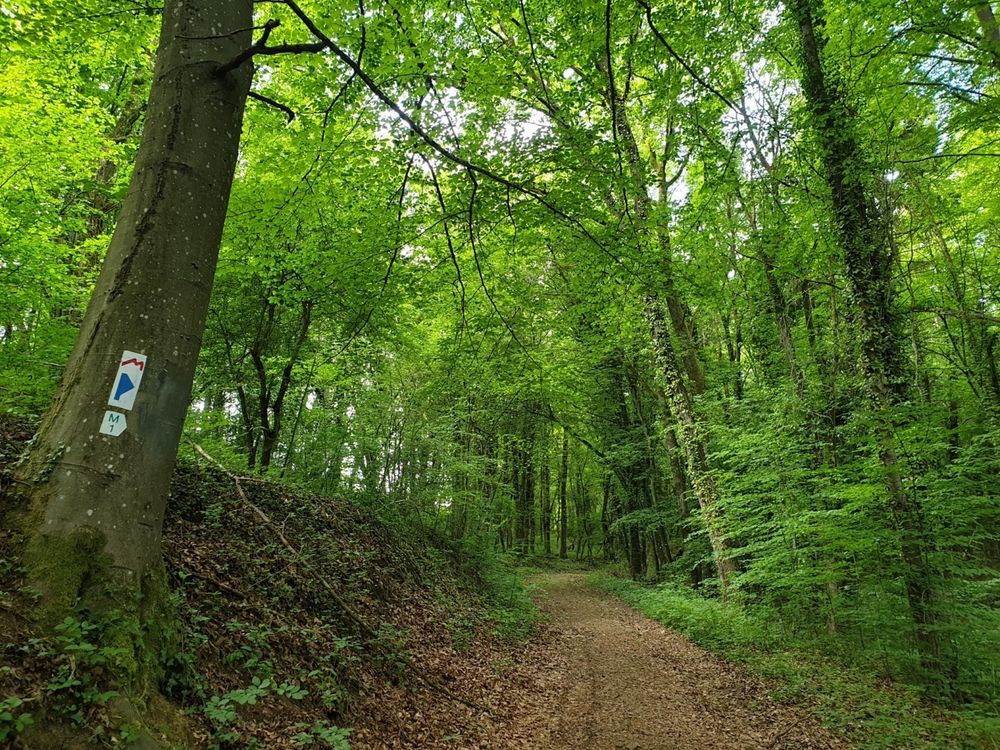
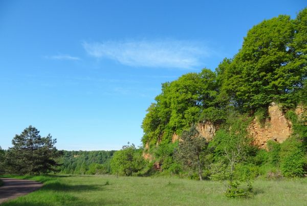
After a landscape lined with orchards and dry stone walls, the path leads into a forest area. The trail leadsyou past rock formations and then on a dry grassland above Moersdorf.

There is also an orchid trail.

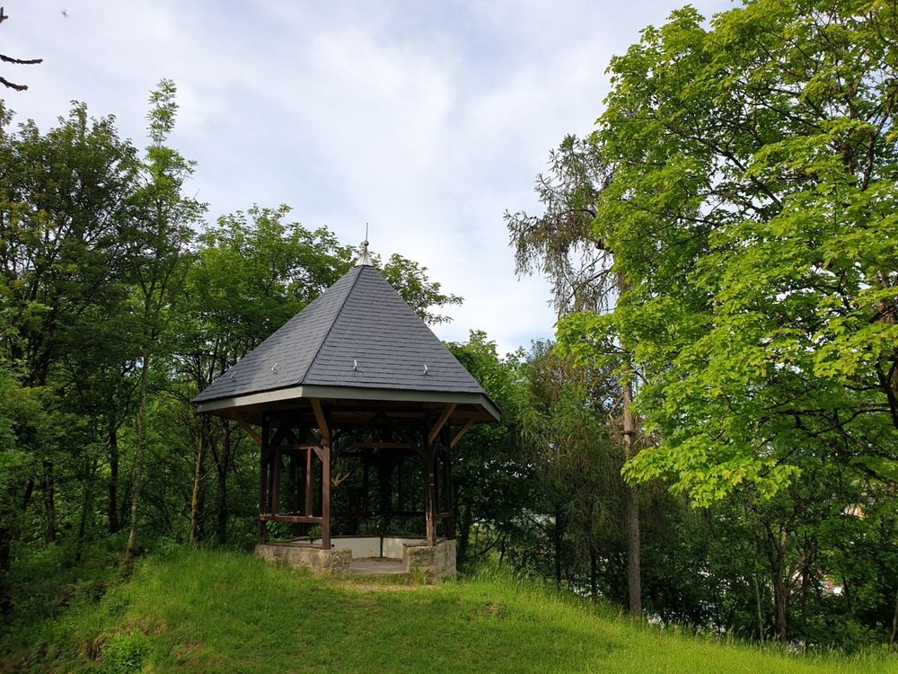
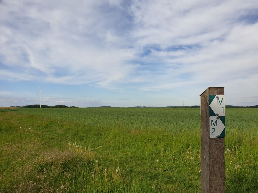
On the plateau Burer Bierg sit on a bench and enjoy beautiful views on the surrounding area. After that you go back to your starting point.


Suggestions nearby

Local hiking trail - M1

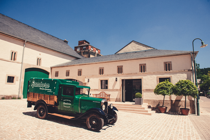
  • © Ramborn Cider Co
    30%
    with theLuxembourgCard
    Ramborn Cider Co.
    Ramborn Cider Haff: Traditional cider and juices
    Find out more
  • Salzmännchegaart
    Salzmännchegaart
    Find out more

Similar hiking tours

© © Wanderbüro Saar-Hunsrück, Klaus-Peter Kappest, SaarSchleifenLand
Dream loops
"Traumschleife" Schengen without borders
Distance: 8,54 km
Duration: 3:30 h
Difficulty: medium
Find out more
© Visit Luxembourg
Distance trails
21 Station to station Bettembourg - Dudelange-Burange
Distance: 14,66 km
Duration: 3:45 h
Difficulty: medium
Find out more
© CFL, Visit Luxembourg
Distance trails
22 Station to Station Dudelange - Burange - Rumelange
Distance: 10,22 km
Duration: 3:05 h
Difficulty: medium
Find out more
© ORT Sud
Distance trails
23 Station to station Rumelange - Kayl
Distance: 12,57 km
Duration: 3:25 h
Difficulty: medium
Find out more
© Visit Luxembourg
Distance trails
25 Station to station Kayl - Schifflange - Esch-sur-Alzette
Distance: 21,71 km
Duration: 6:05 h
Difficulty: medium
Find out more
© Pulsa Pictures, ORT SUD
Distance trails
26 Station to station Esch-sur-Alzette - Belvaux-Soleuvre
Distance: 9,05 km
Duration: 2:30 h
Difficulty: medium
Find out more
© Visit Luxembourg
Distance trails
27 Station to station Belvaux-Soleuvre-Oberkorn
Distance: 5,20 km
Duration: 1:25 h
Difficulty: medium
Find out more
© ORT Sud
Distance trails
28 Station to station Oberkorn - Niederkorn
Distance: 8,69 km
Duration: 2:25 h
Difficulty: medium
Find out more
© ORT Sud
Distance trails
29 Station to station Niederkorn - Rodange
Distance: 10,12 km
Duration: 2:55 h
Difficulty: medium
Find out more