Description
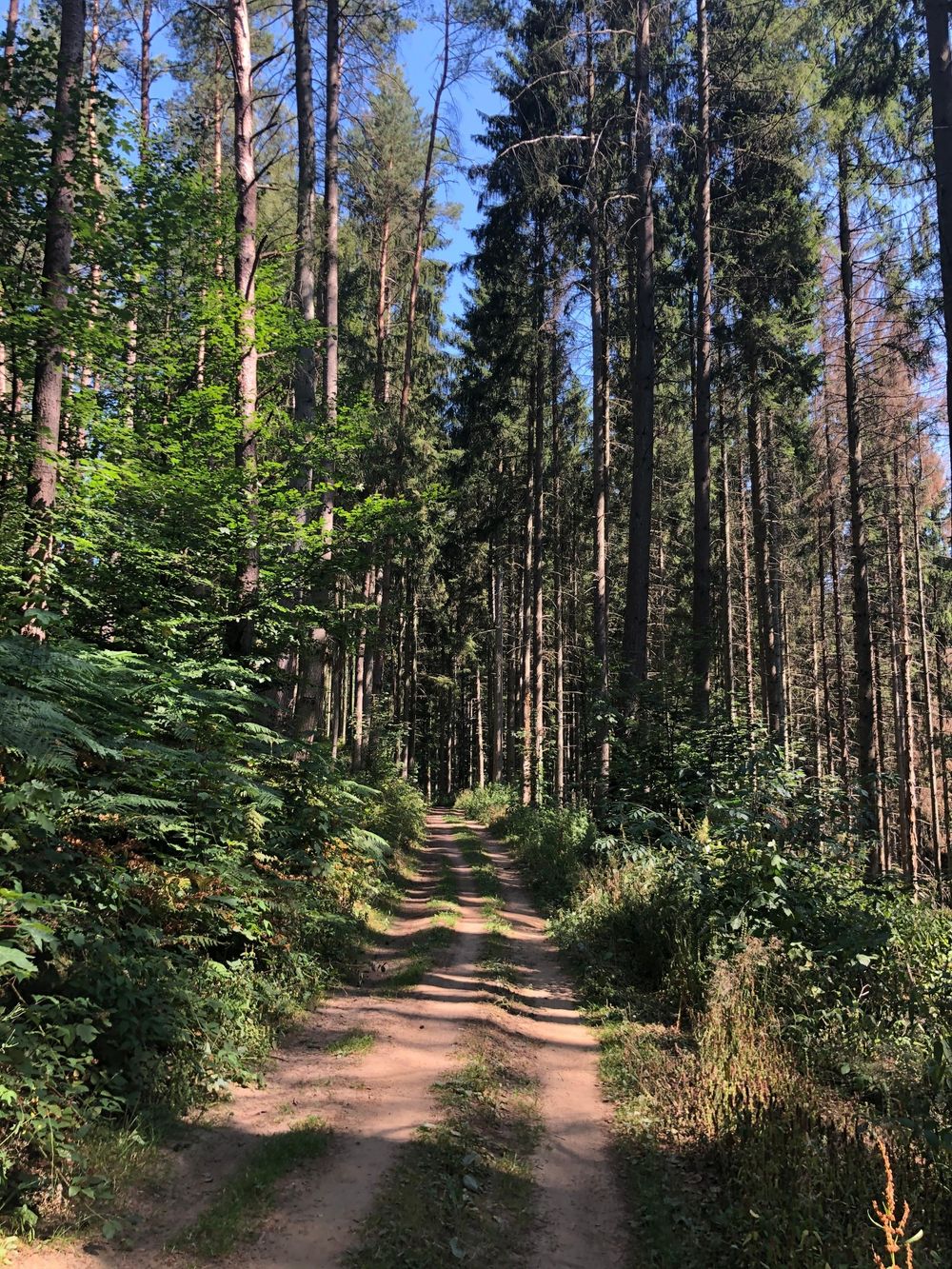
Comfortable hike, with one slight uphill, mainly through the forest, past Meysemburg Castle and back to Larochette where you enjoy a great view on the castle.
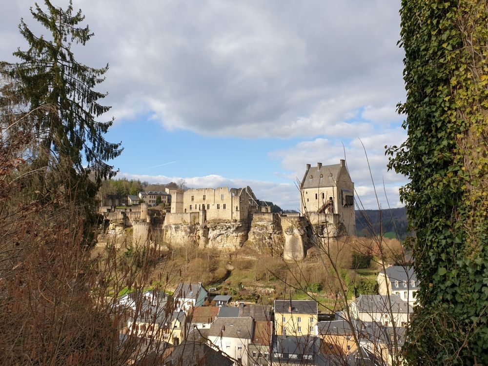
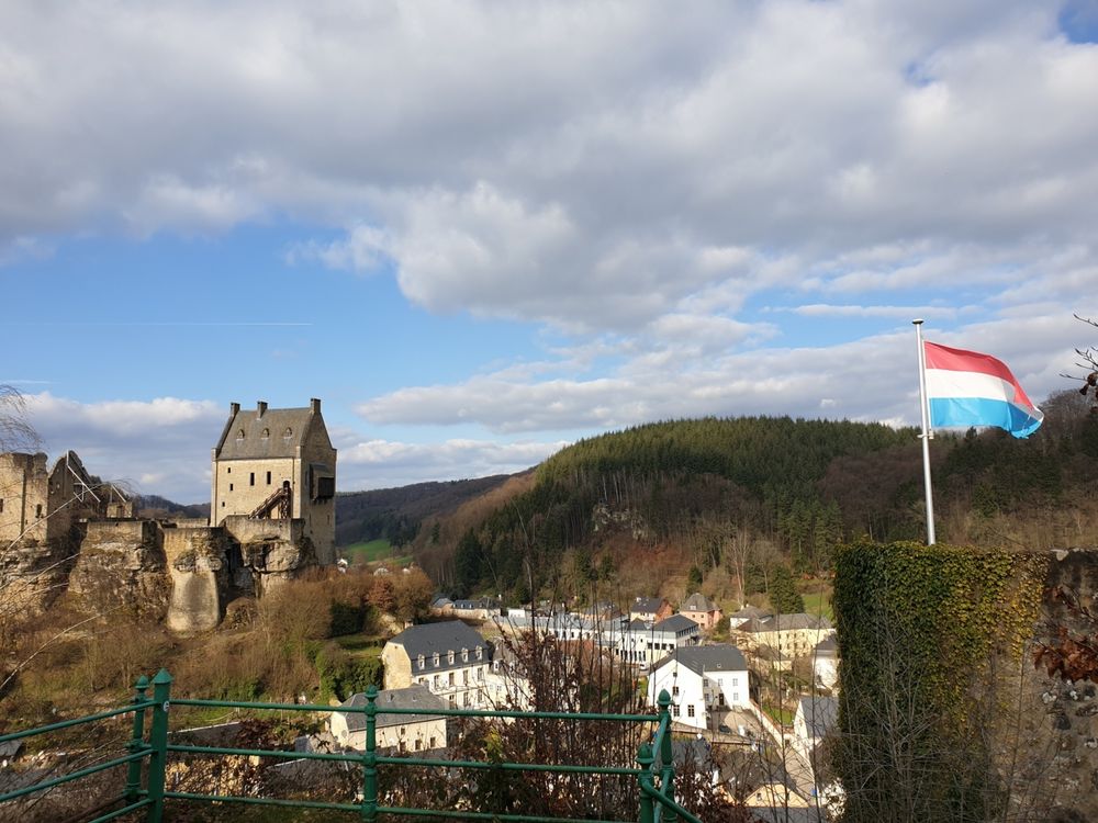
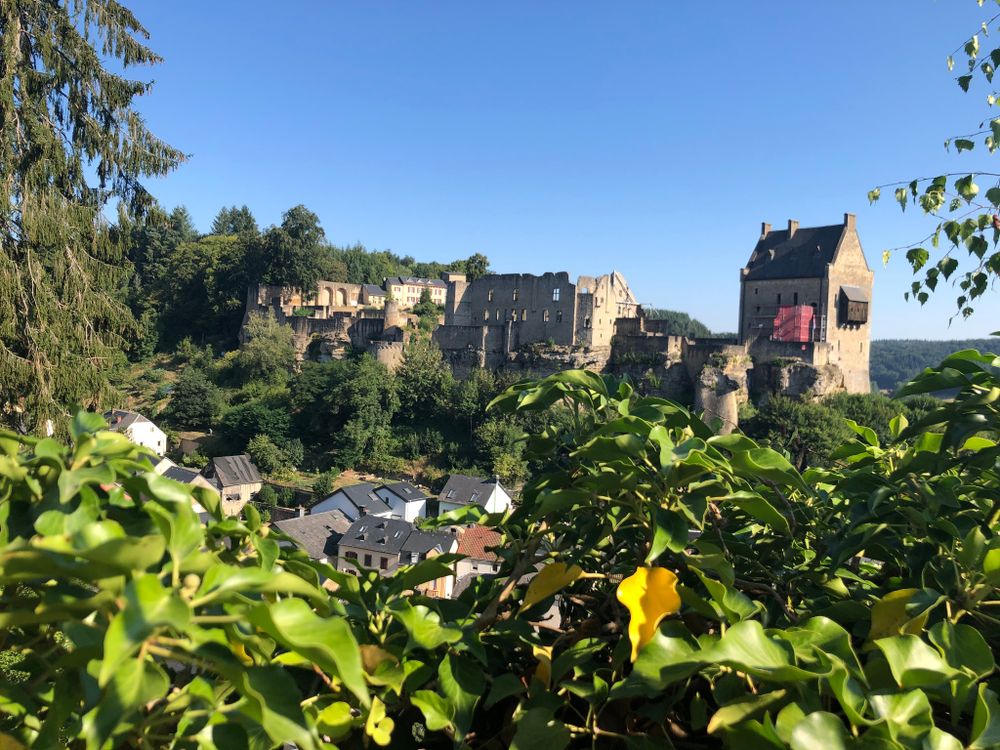
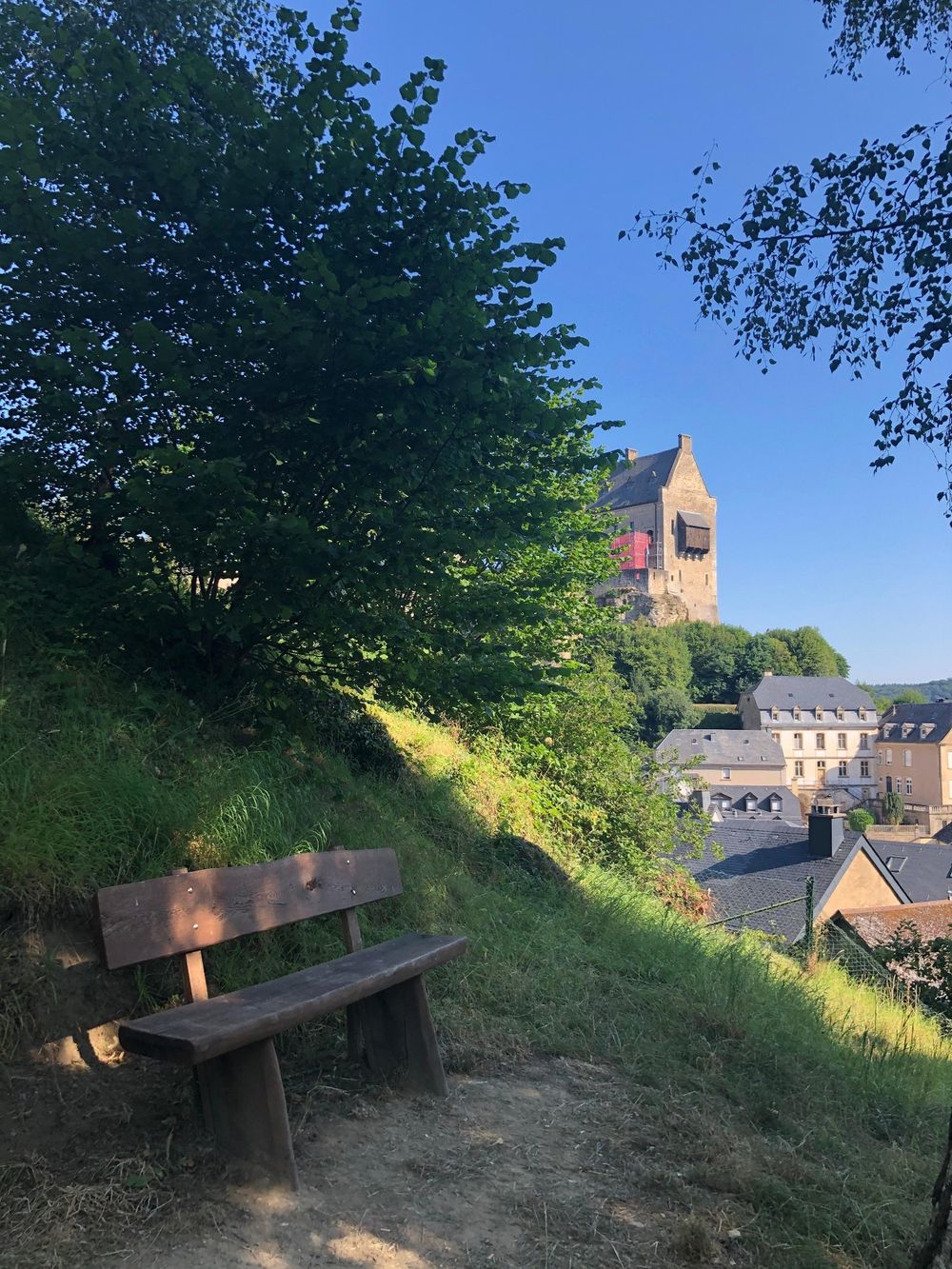
The picturesque village of Larochette (also called Fiels) lies in a valley and is surrounded by rocks and forests. In the center of the village, the so-called "Bleech", you will find restaurants, cafes and hotels and shops. The landmark of Larochette is its castle ruin, which sits on the rock above the locality and offers a romantic sight. The castle ruins can be visited.
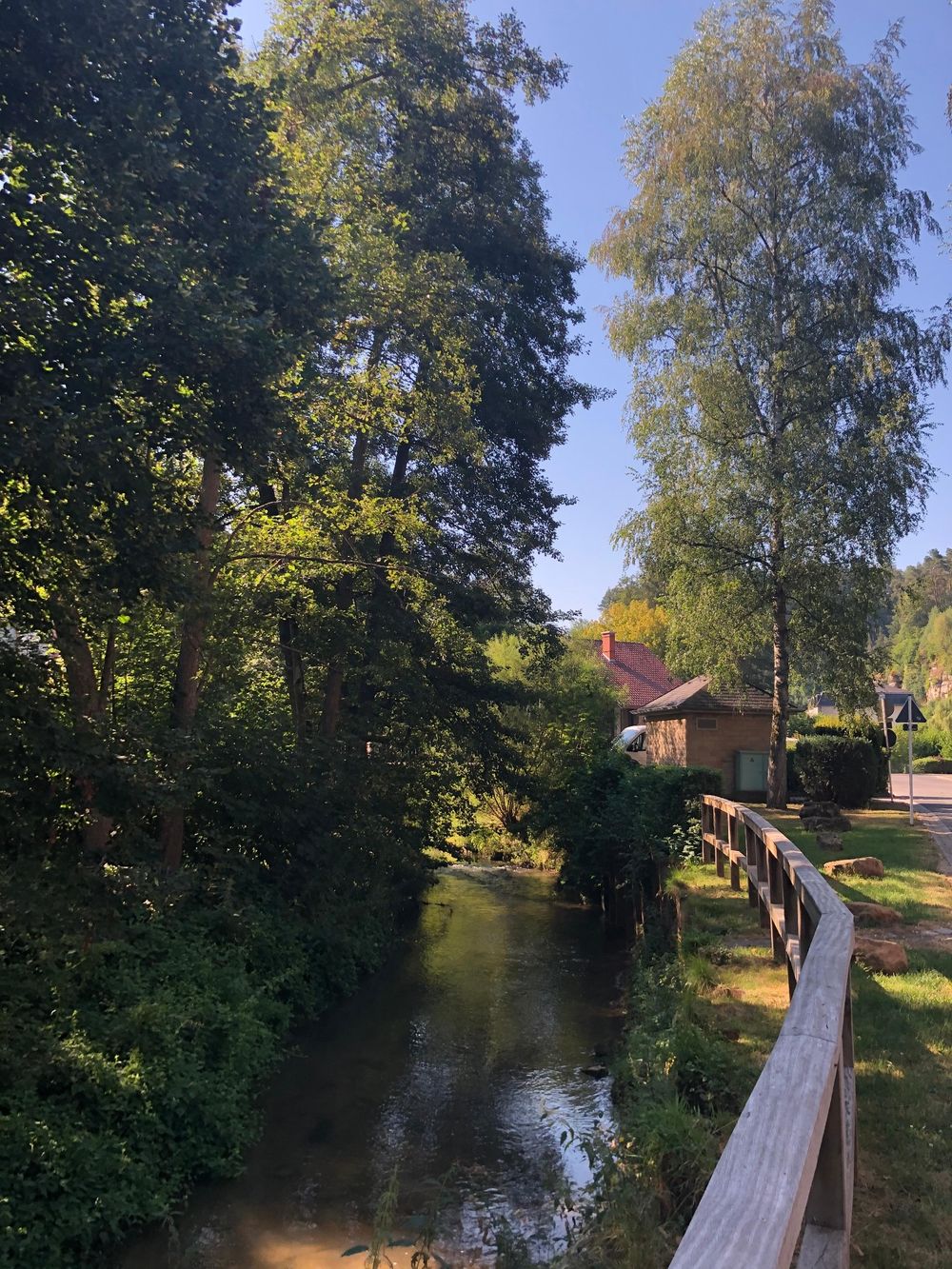
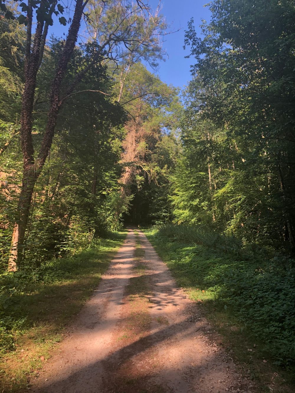
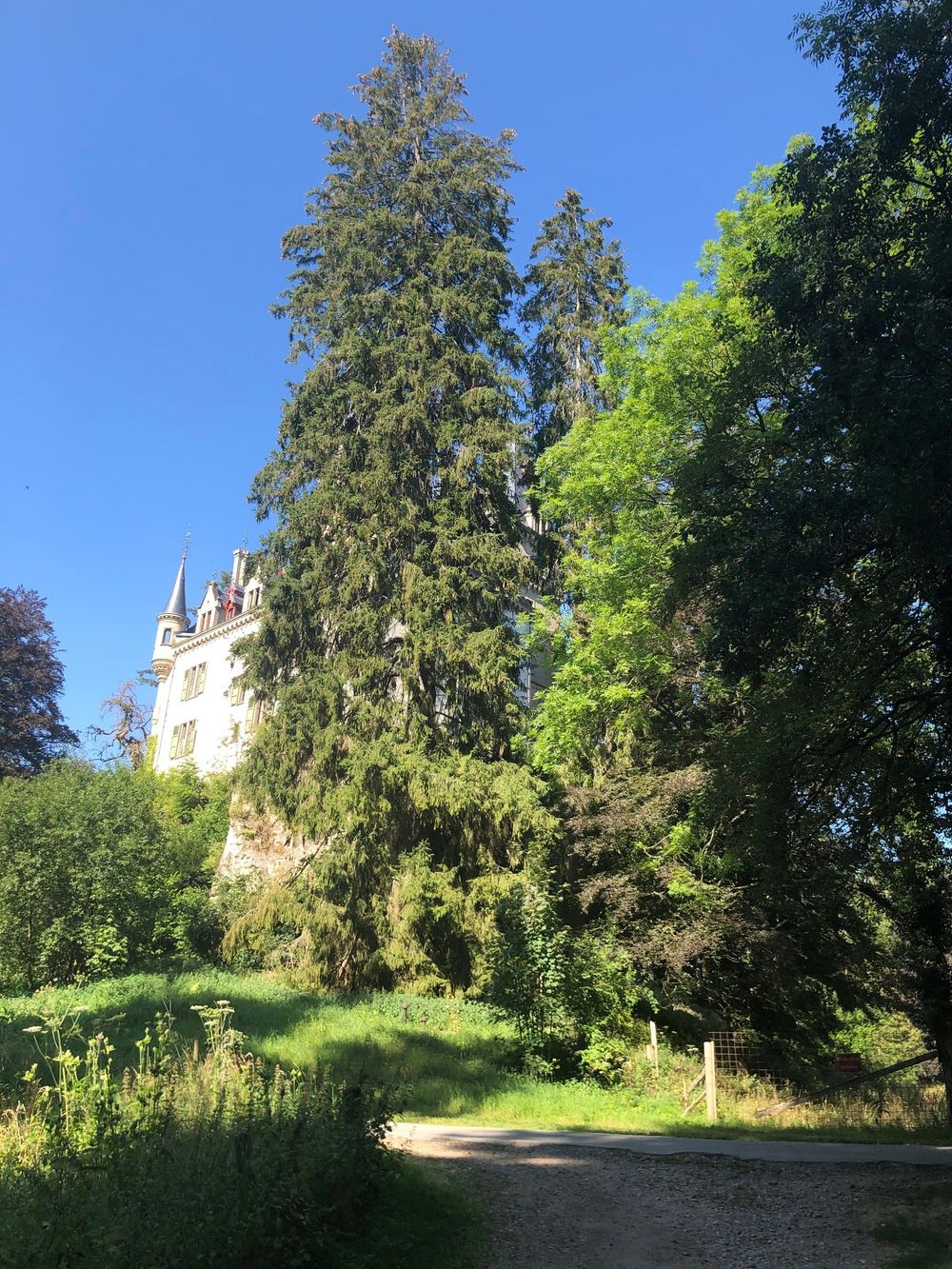
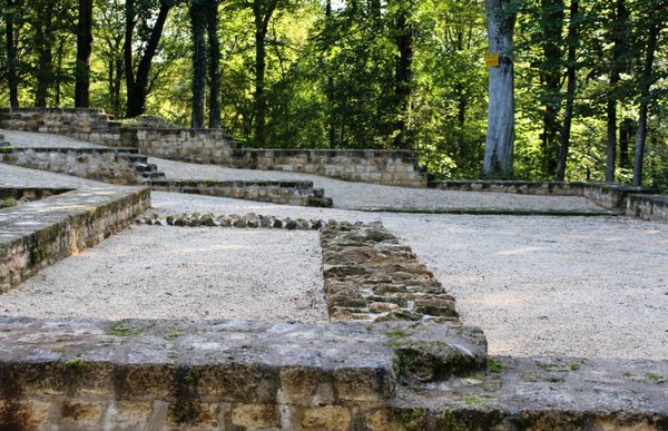
The hiking tour leads from Larochette along the idyllic Manzebach to Meysemburg, which is halfway along the hiking tour. This castle is currently uninhabited but worth seeing from outside. The castle is surrounded by an idyllic forest and park landscape, where picnic benches invite hikers to take a rest .
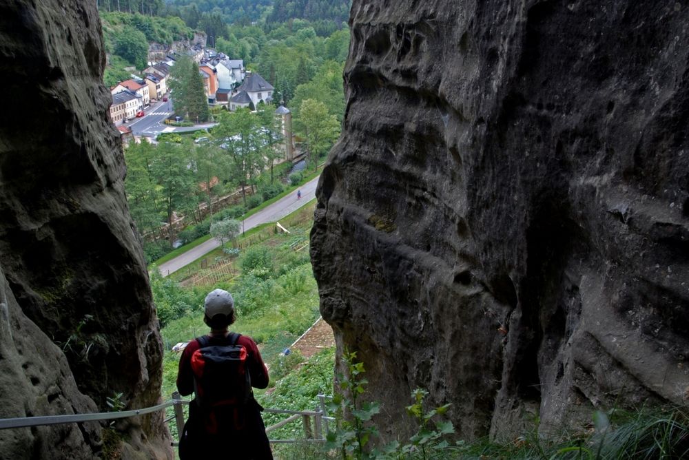
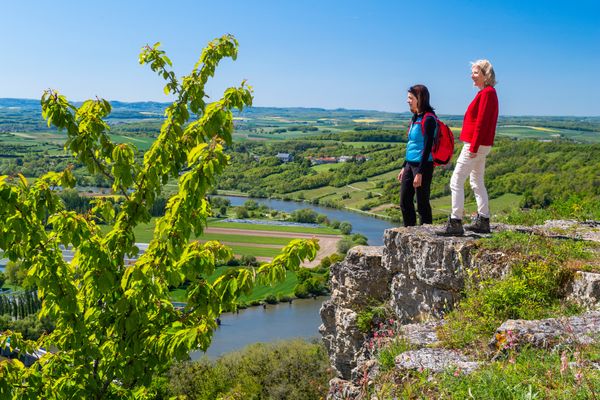
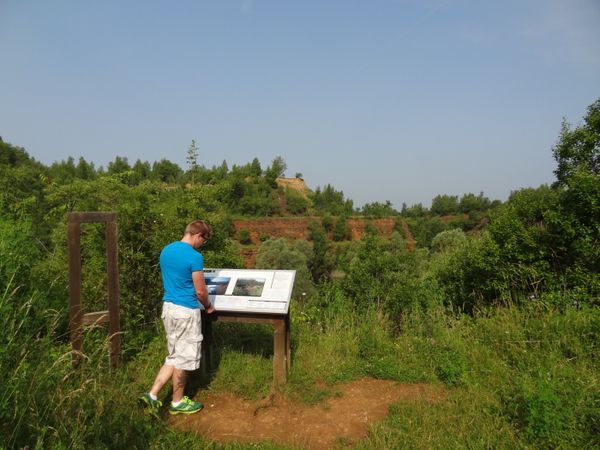
At the end of the hike you come to the Verluerekascht viewpoint near Larochette. There you will be rewarded with an impressive view of Larochette and the castle ruins opposite.
Signposting

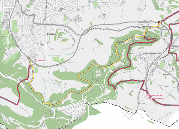
Directions
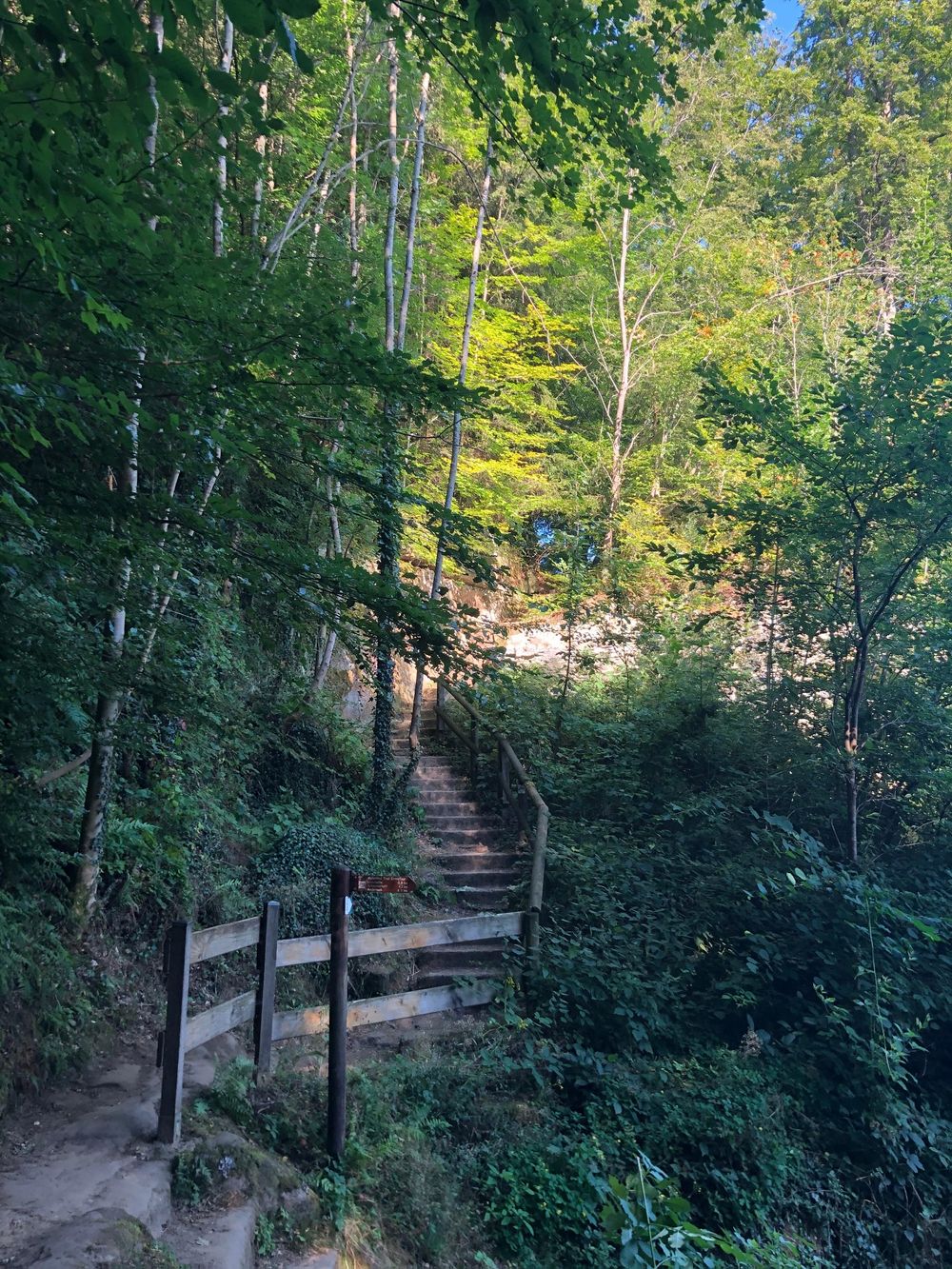
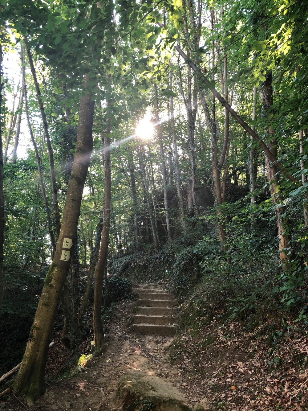
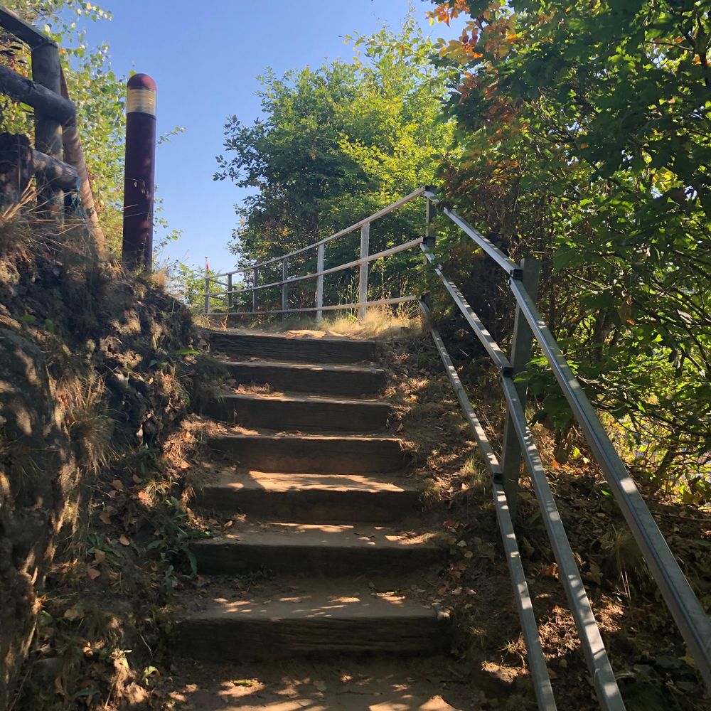
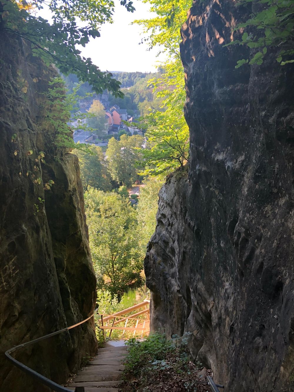
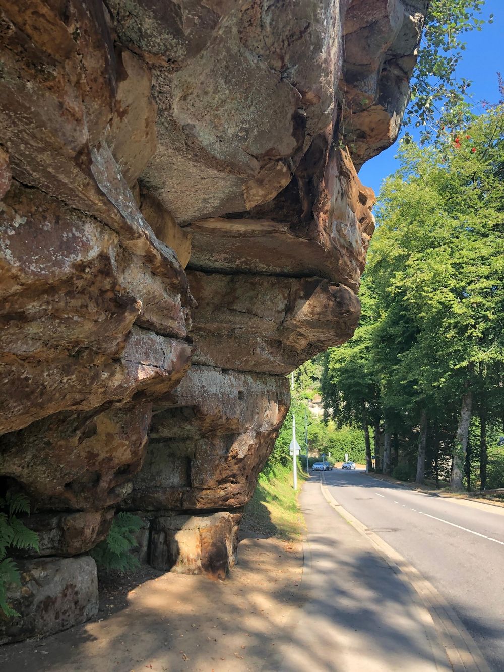
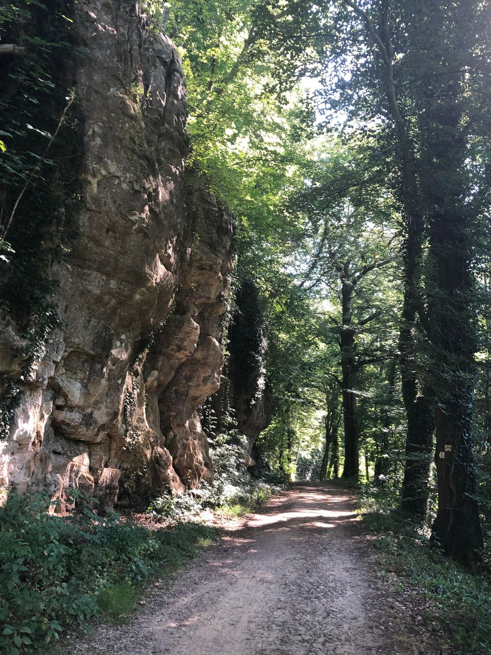
The L2 starts at the communal office and leads through the valley of the white Ernz to the Manzebaach. Along this brook it then leads through a beautiful forest landscape to Meysembuerg Castle, located halfway. Here you can take a break and have a look at the architecturally remarkable castle. It is privately owned and not open to public. After that, the path leads back to Larochette via the former carriage path, to the Verluerekascht lookout with a beautiful view of the town with the castle ruins. The descent then takes you back to your starting point.
Equipment
Sturdy shoes and something to drink.
Journey
Parking: Next parking lot: Schongfabrik (50m)


 This website uses technology and content from the Outdooractive Platform.