Description
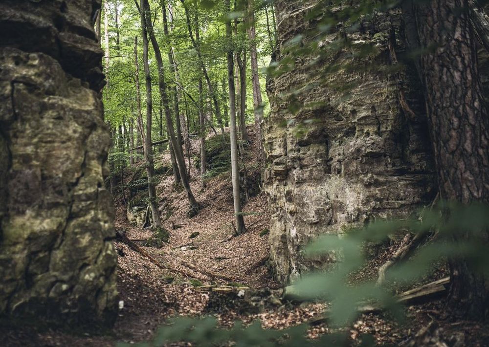
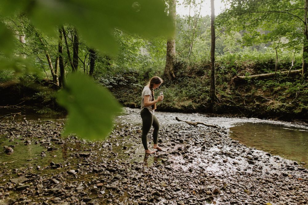
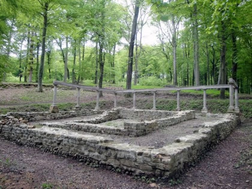
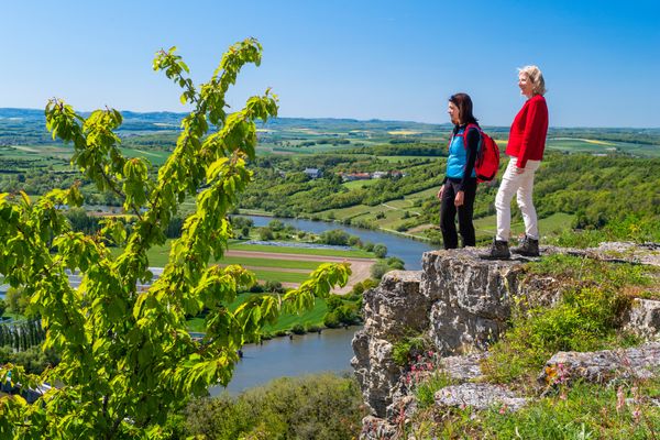
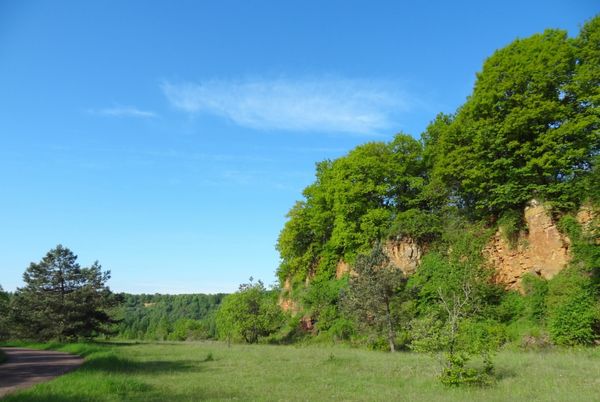
Magnificent forests, rock formations and wide fields. The silence along the historical remains of the Roman temples to the banks of the river Mamer makes you forget everyday life!
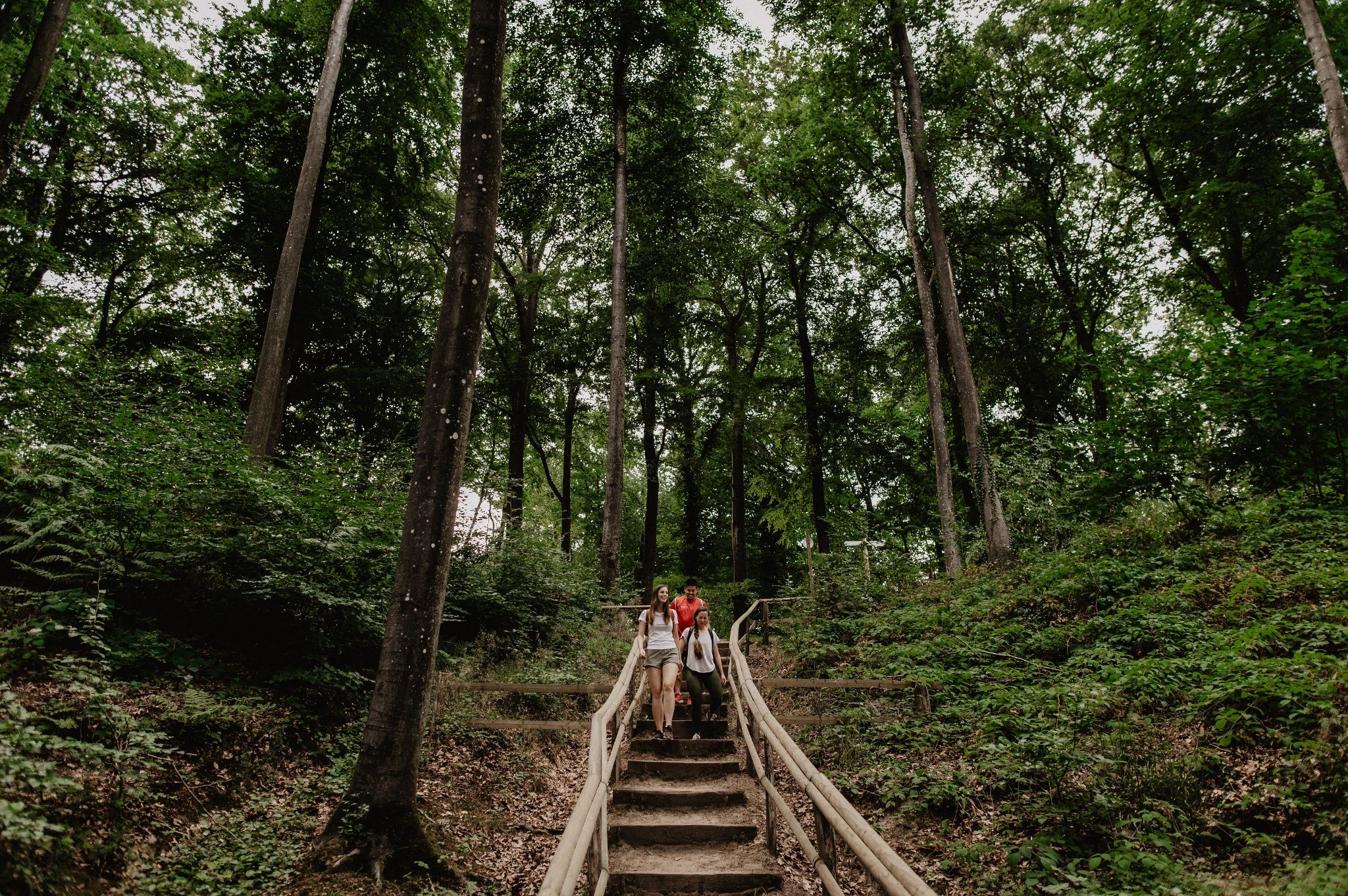
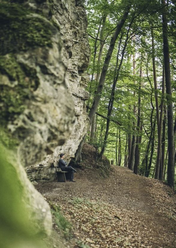
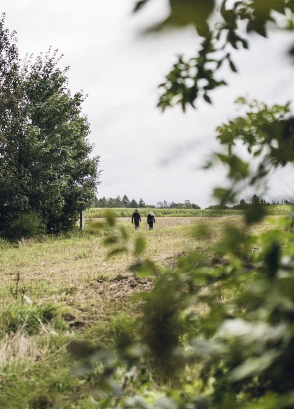
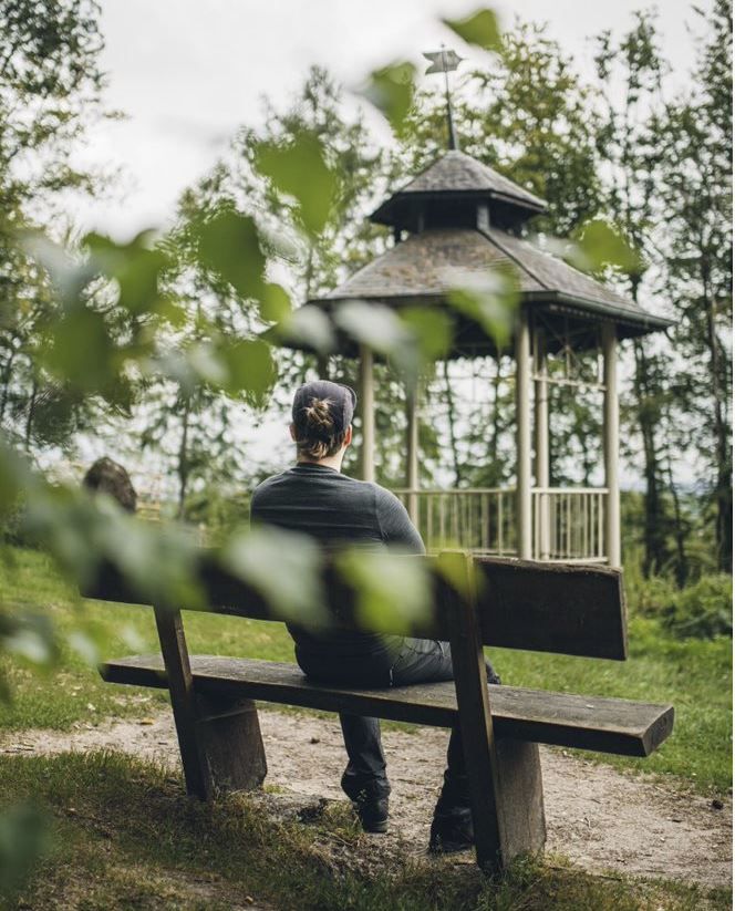
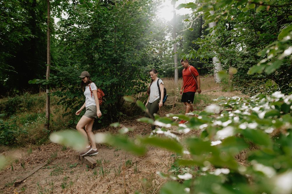
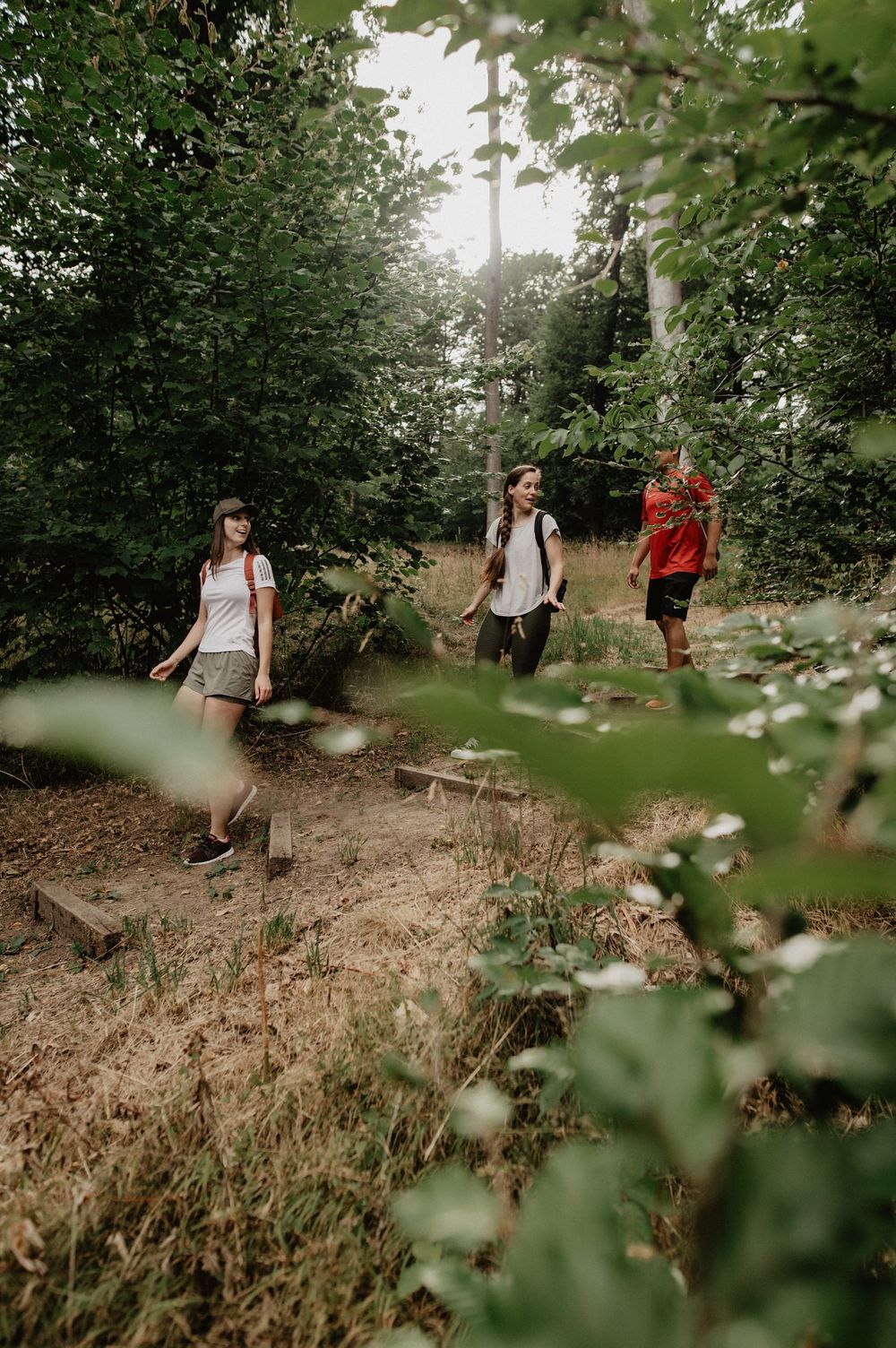
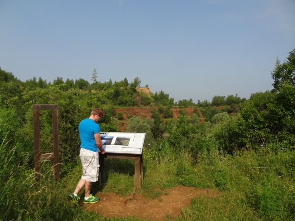
The varied "Fox Trail" (Fox Trail) promises a quiet hike through rustic forests with high treetops, along small natural streams and beautiful rock formations as well as across wide fields. The tour has some particularly beautiful spots, such as the hidden "Huel Kimmerchen" (Hollow Chamber), a rock formation with a small chamber, or the picturesque promenade along the rocks as well as the fairytale pavilion with a view over the Alzette valley.
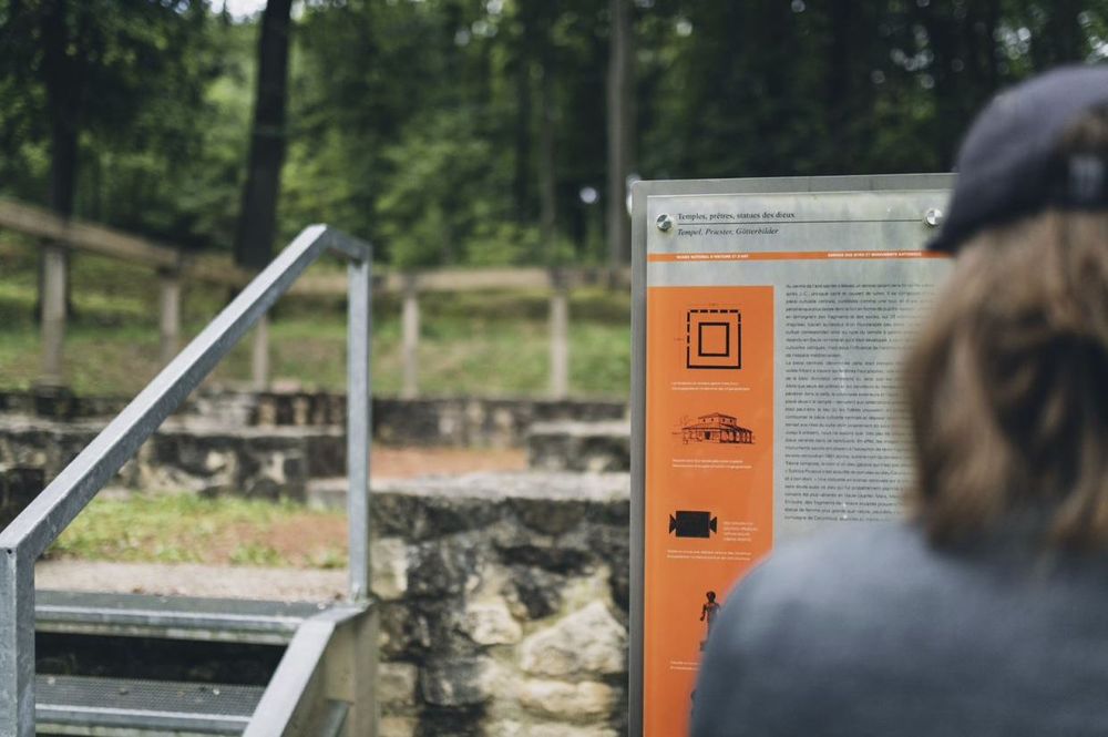
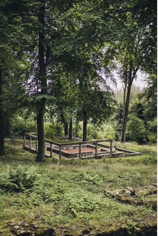
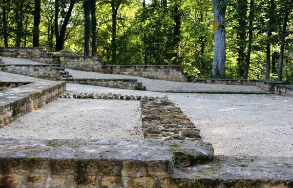
But the highlight is undoubtedly the Roman temple complex. Built in the 1st century, the Roman villa once comprised 50 rooms. At 100 metres long and 50 metres wide, it is one of the largest Roman villas discovered in the Grand Duchy of Luxembourg.
Families with children will not miss out on this trail either! At the starting point of the circular hiking trail, there is a beautiful forest playground with many picnic benches that invite you to linger.


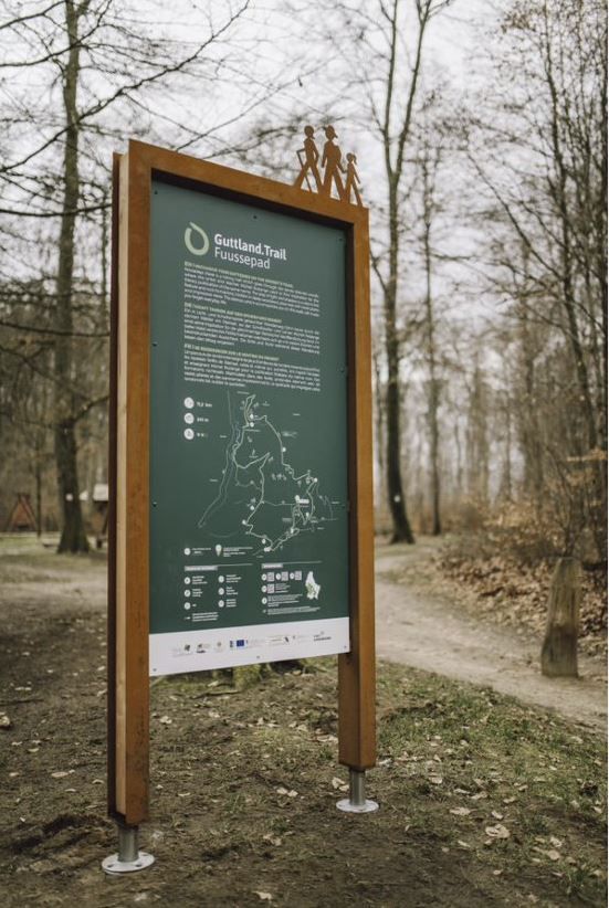
Signposting

Directions
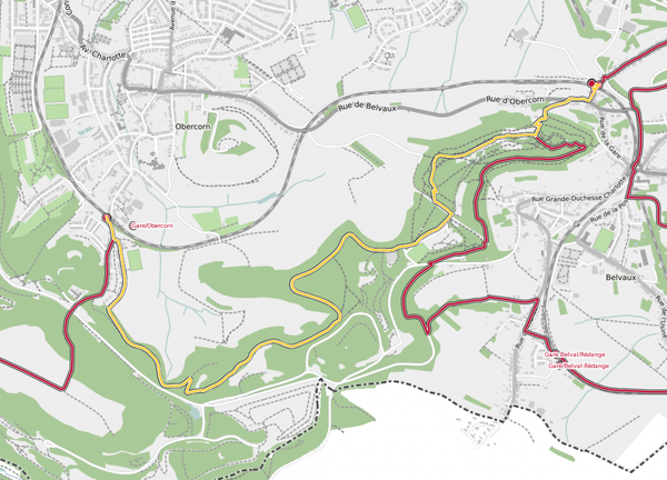
The hiking trail is marked in both walking directions. Please follow the white-green waymarks.
For your safety
Weather conditions such as wetness, ice and wind can make a tour difficult. The information given refers to optimal conditions.
Equipment
Sturdy shoes and something to drink.
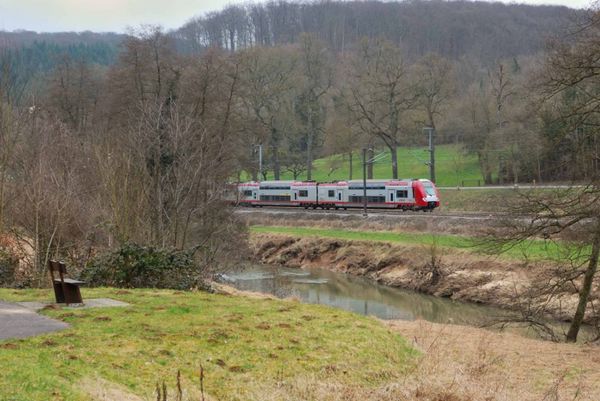
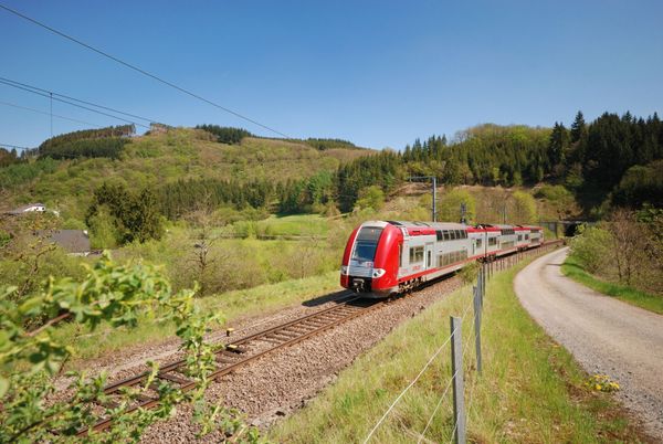
Journey
Bus stop: Michel Rodange Plaz. Bus number 10, 11, 26, 214,284,... From Michel Rodange Plaz, the Guttland.Trail is accessible by an orange-marked access path.The nearest train station is 'Heisorf'.
Parking:
Directly at the starting point, at the Steinsel forest playground 'Bei der Antenn'.


 This website uses technology and content from the Outdooractive Platform.