Circular routes Visit Luxembourg
Description
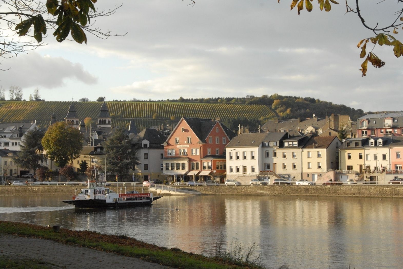
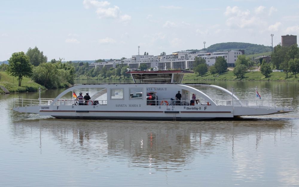
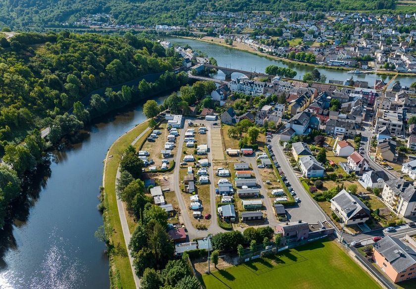
Wasserbillig F
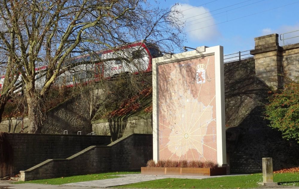
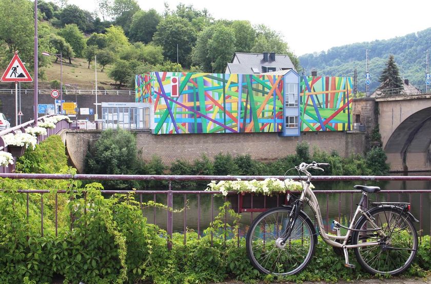
Passing the lowest point of the country, the Spatz, you cross the railway bridge and arrive in Germany next to the tourist information. It goes down to the Moselle hiking trail, then to the main road and up into the vineyards to the viewpoint op Kloop. Afterwards down to Mesenich, along the Sauer to Langsur and over the border bridge back to the starting point.
Journey
Public transport:
Parking:
Bus stop: Wasserbillig, Op der Bréck
Train station: Wasserbillig, Gare
Parking:
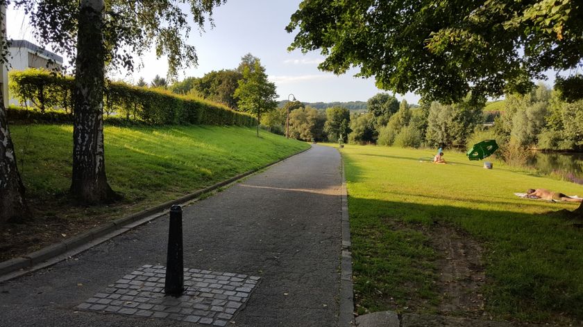
Parking in front of the Moselle river


 This website uses technology and content from the Outdooractive Platform.