Rondwandelroutes Visit Luxembourg
Beschrijving
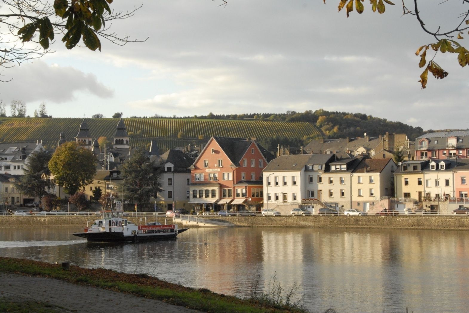
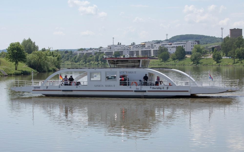
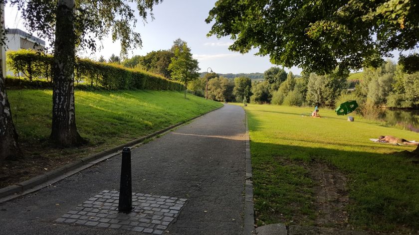
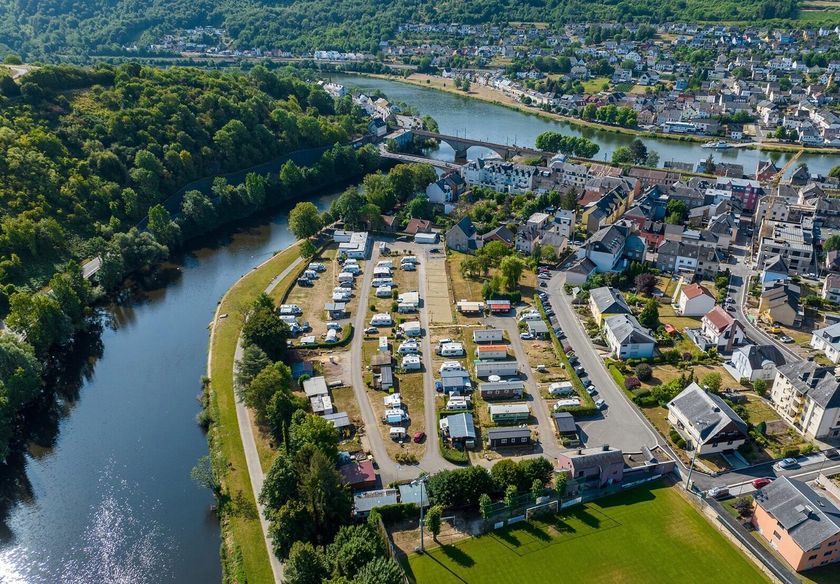
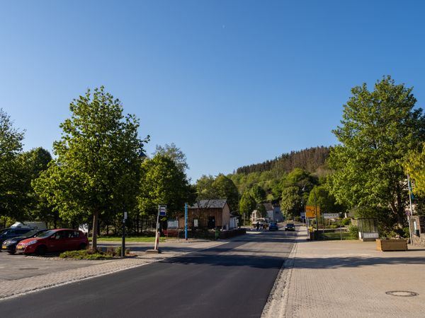
Wasserbillig F
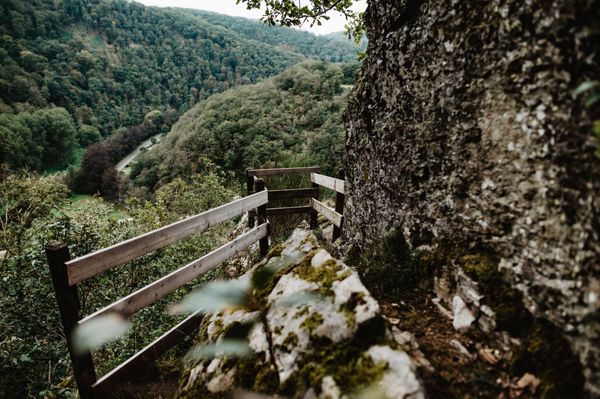
Als je het laagste punt van het land Spatz passeert, ga je onder de spoorbrug door en bereik je Duitsland, het VVV-kantoor. De route gaat omlaag naar de Moezelwandelroute, dan naar de hoofdweg en omhoog door de wijngaarden naar het uitzichtpunt op Kloop. Dan omlaag naar Mesenich, langs de Sauer naar Langsur en over de grensbrug terug naar het startpunt.
Aankomst
Openbaar vervoer:
Parking:
Bushalte:Wasserbillig, Op der Bréck
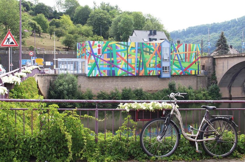
Treinstation: Wasserbillig, Gare
Parking:
Parkeren aan de oevers van de Moezel


 Deze website maakt gebruik van technologie en inhoud van het Outdooractive Platform.