Starting point
Burfelt
Destination
Burfelt
Distance
7,33 km
Duration
2:20 h
Difficulty
medium
  • Condition
Highest point
444 Hm
Lowest point
325 Hm
Aggregated Ascent
220 Hm
Aggregated Descent
220 Hm
Thematic paths Visit Luxembourg

Description

Kids & Family Scenic
The variety of themed trails not only shows you the beautiful natural landscapes of the region, but also provides information on a wide range of topics.
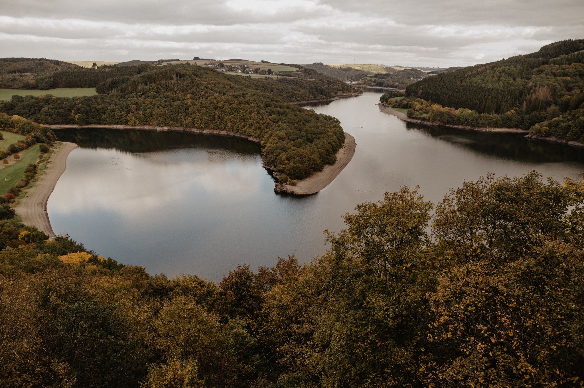
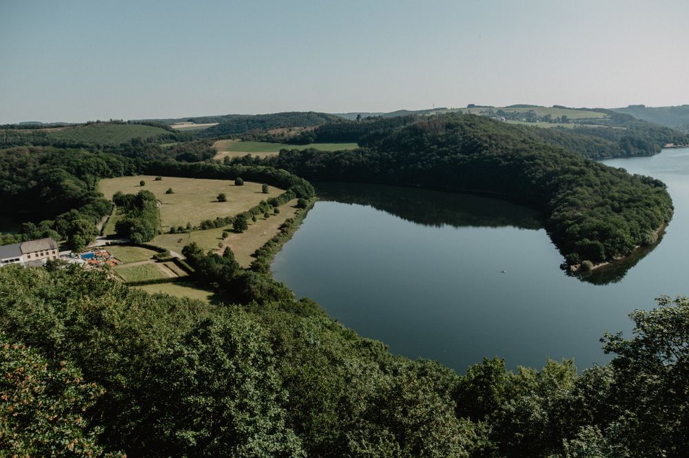
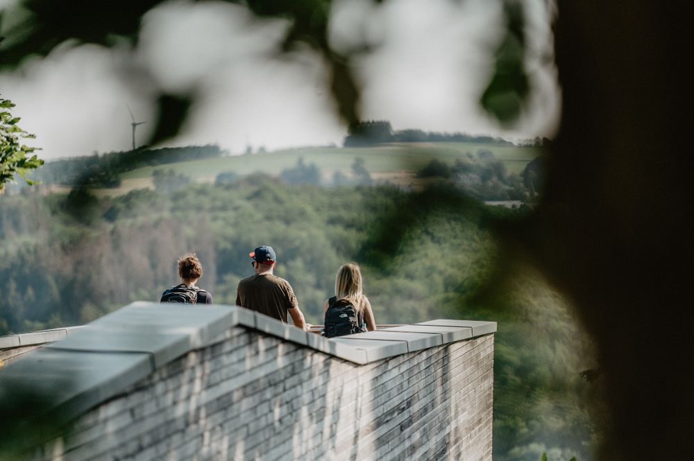
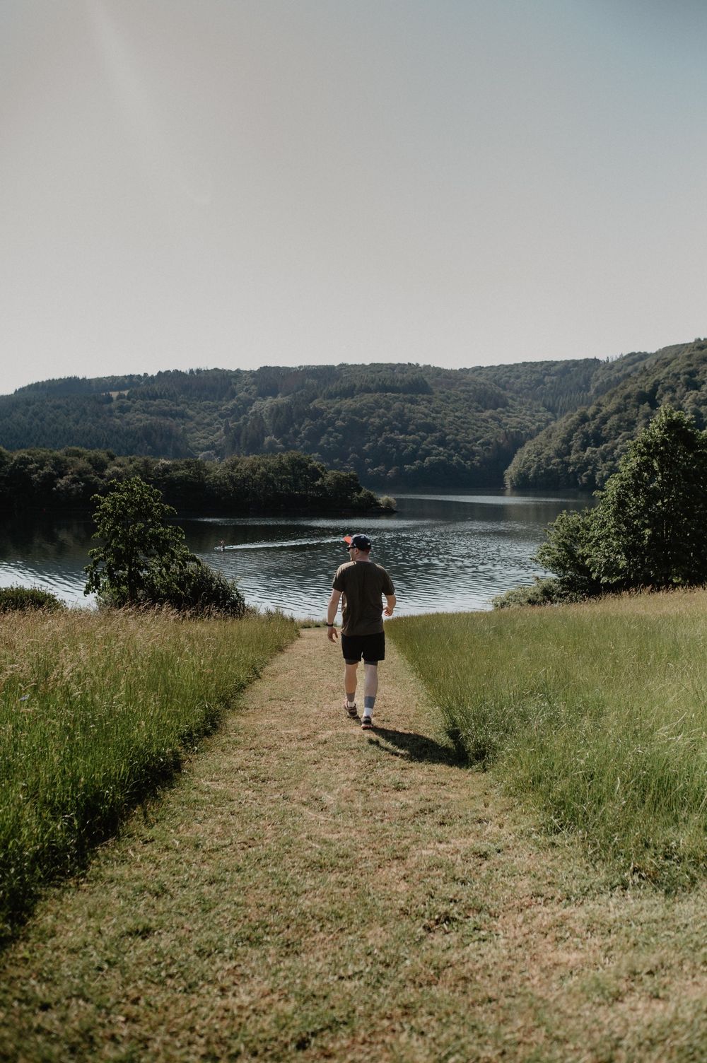
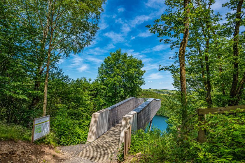
The 6.8 km long nature discovery trail starts at the car park on the high plateau and first leads westwards through the forest. Coming out of the forest, it passes a large orchard meadow in the open landscape of the "Neihaff". The trail continues towards Insenborn through a low oak forest down to the shore of the reservoir. Continuing along the path, you reach the Burfelt nature conservation centre. On the way back, you will reach the "Belvédère" viewing platform, which offers a breathtaking view over the magnificent landscape of the Obersau reservoir. For a somewhat shorter hike, a shortcut is signposted halfway along the trail.a shortcut is signposted halfway along the trail.

Suggestions nearby

Nature Discovery Path Burfelt

  • © Visit Éislek
    Panoramic Platform Belvédère Burfelt
    Nestled just a short drive from the Belgian border, the Burfelt Belvedere stands as a captivating testament to the transformation of a once house-dotted valley into a scenic wonder. Erected in 2016, this panoramic platform, situated 70 meters above the Upper Sûre lake invites visitors to immerse themselves in nature's embrace.
    Find out more

Similar hiking tours

© © Wanderbüro Saar-Hunsrück, Klaus-Peter Kappest, SaarSchleifenLand
Dream loops
"Traumschleife" Schengen without borders
Distance: 8,54 km
Duration: 3:30 h
Difficulty: medium
Find out more
© Visit Luxembourg
Distance trails
21 Station to station Bettembourg - Dudelange-Burange
Distance: 14,66 km
Duration: 3:45 h
Difficulty: medium
Find out more
© CFL, Visit Luxembourg
Distance trails
22 Station to Station Dudelange - Burange - Rumelange
Distance: 10,22 km
Duration: 3:05 h
Difficulty: medium
Find out more
© ORT Sud
Distance trails
23 Station to station Rumelange - Kayl
Distance: 12,57 km
Duration: 3:25 h
Difficulty: medium
Find out more
© Visit Luxembourg
Distance trails
25 Station to station Kayl - Schifflange - Esch-sur-Alzette
Distance: 21,71 km
Duration: 6:05 h
Difficulty: medium
Find out more
© Pulsa Pictures, ORT SUD
Distance trails
26 Station to station Esch-sur-Alzette - Belvaux-Soleuvre
Distance: 9,05 km
Duration: 2:30 h
Difficulty: medium
Find out more
© Visit Luxembourg
Distance trails
27 Station to station Belvaux-Soleuvre-Oberkorn
Distance: 5,20 km
Duration: 1:25 h
Difficulty: medium
Find out more
© ORT Sud
Distance trails
28 Station to station Oberkorn - Niederkorn
Distance: 8,69 km
Duration: 2:25 h
Difficulty: medium
Find out more
© ORT Sud
Distance trails
29 Station to station Niederkorn - Rodange
Distance: 10,12 km
Duration: 2:55 h
Difficulty: medium
Find out more