Circular routes Visit Luxembourg
Description
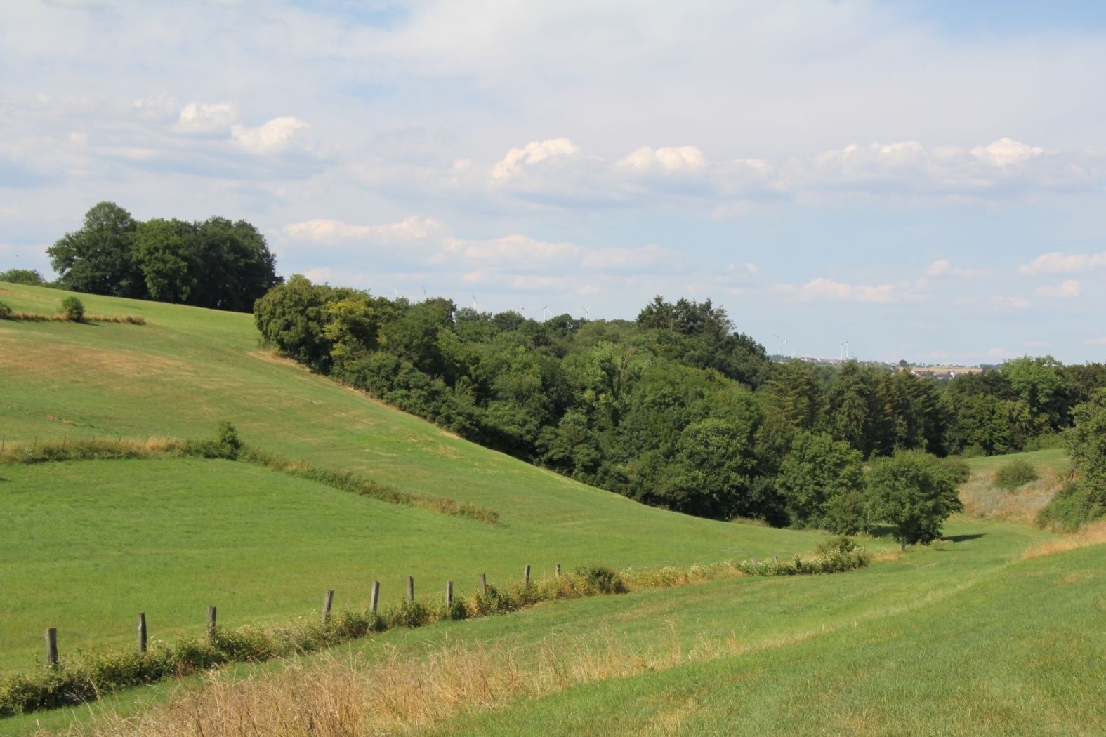
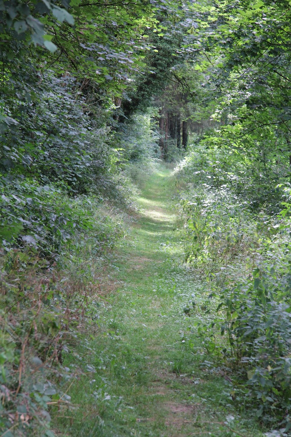
This high route leads up the slopes of the Héibierg to the idyllic little village of Bigelbach.
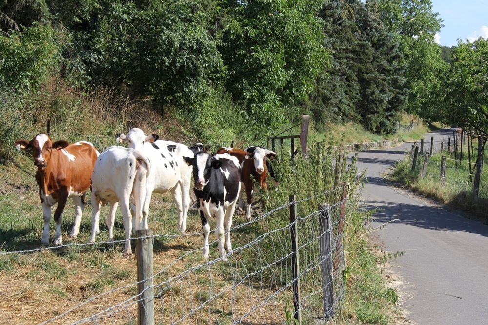
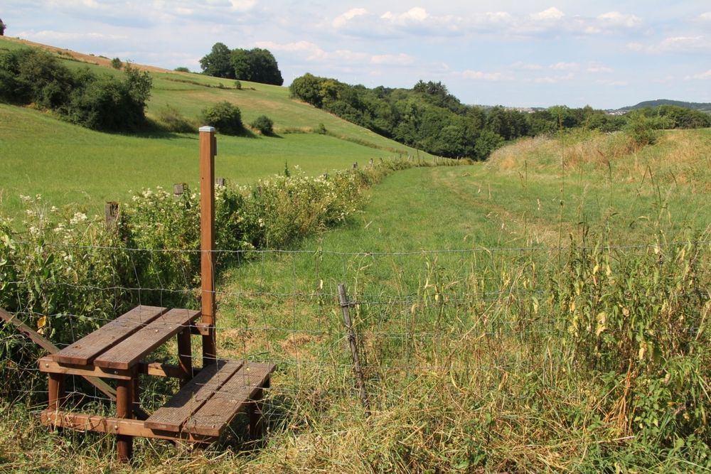
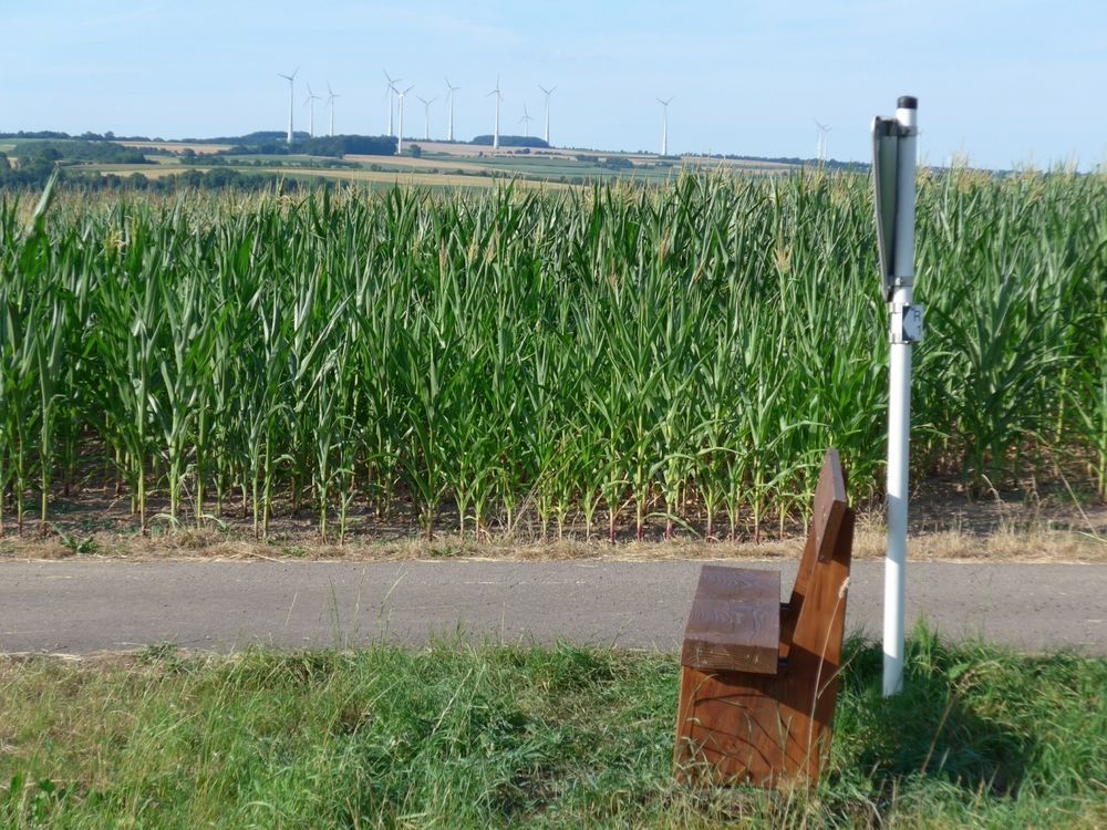
The path initially leads through the Sauer valley, then through the forest by the Héibierg and along the Kuerbaach to Bigelbach. In the small, idyllic district of Reisdorf, there are magnificent views over the Sauer valley and the German Eifel. Along the way, we encounter the rare and protected fern — Hart's-tongue fern.
Signposting

Equipment
Sturdy footwear and something to drink.
Journey
Public transport:
Parking:
Nearest bus stop: Reisdorf, Bei der Gare (300 m)
Parking:
Nearest parking lot: Op der Gare (100 m)


 This website uses technology and content from the Outdooractive Platform.