© Visit Luxembourg
Müllerthal Germany France

Lokale wandelroute - R1

Vertrekpunt
Reisdorf: Tourist Info
Bestemming
Reisdorf: Tourist Info
Route
5,49 km
Duur
1:34 h
moeilijkheid
makkelijk
  • Voorwaarde
  • Techniek
Hoogste punt
294 Hm
Laagste punt
181 Hm
Beklimming
128 Hm
Herkomst
128 Hm
Rondwandelroutes Visit Luxembourg

Beschrijving

Schilderachtig Stop voor verfrissingen
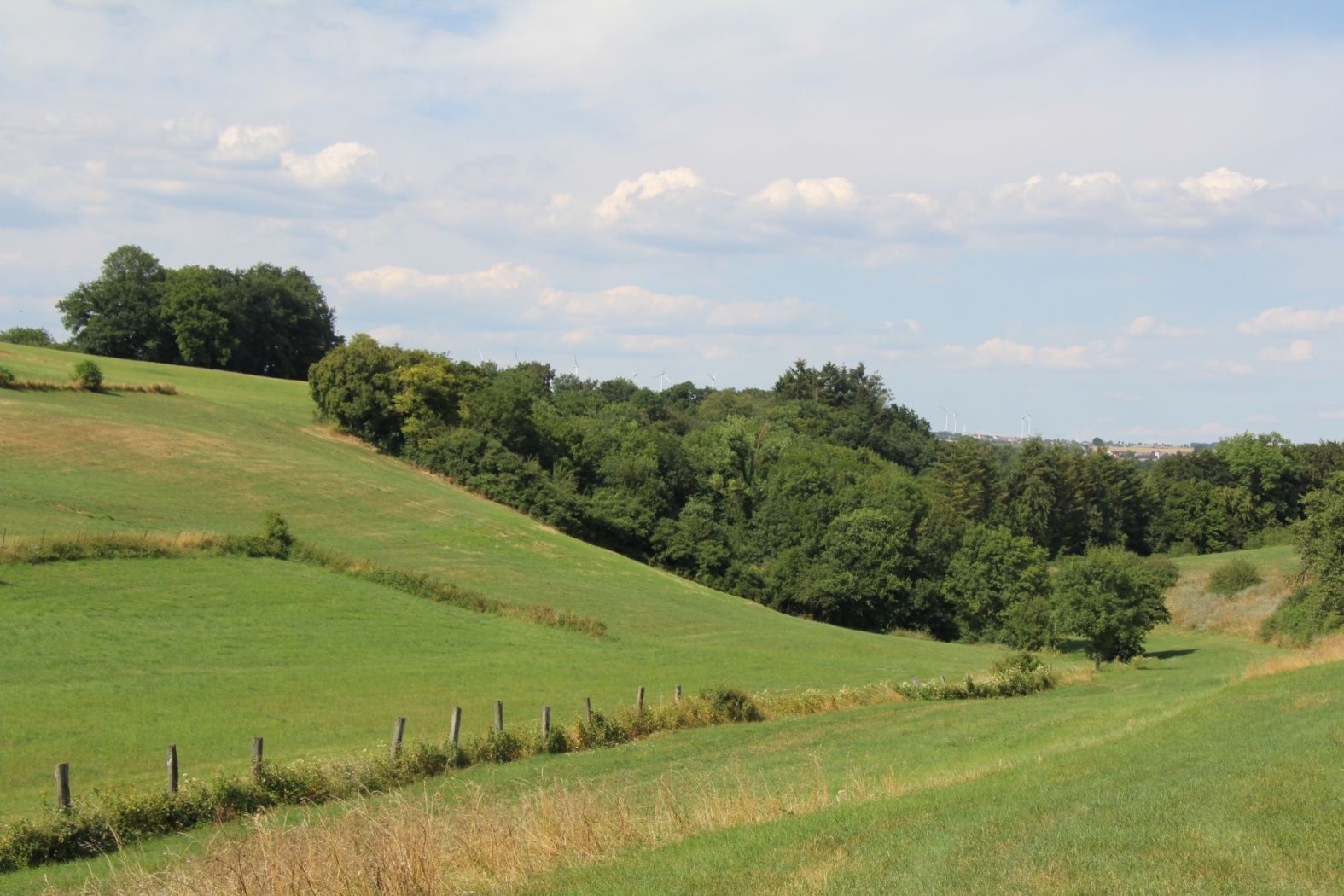
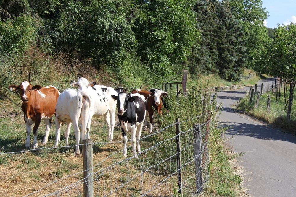
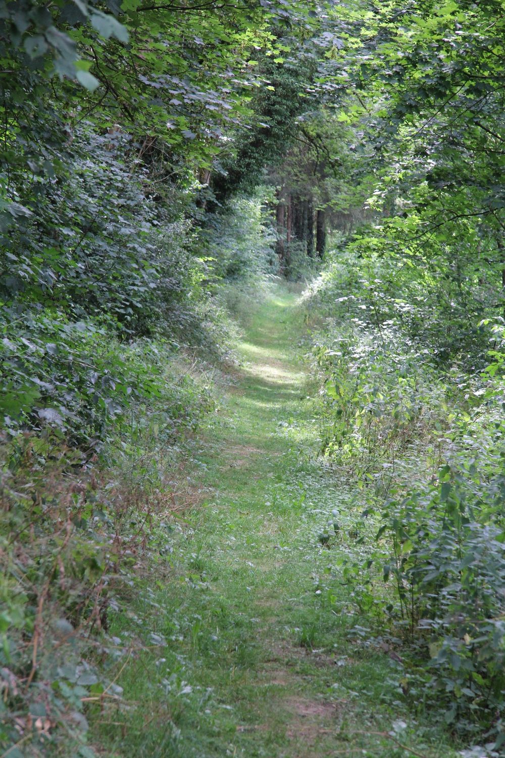
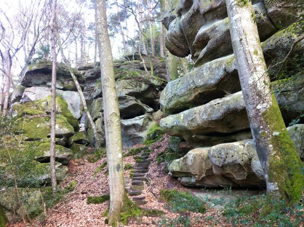
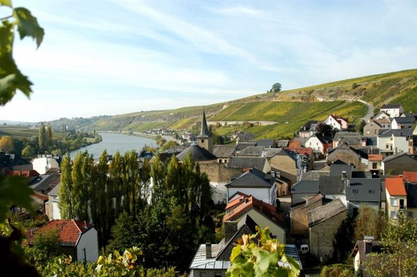
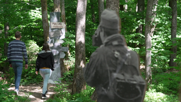
Dit pad op hoogte leidt langs de flanken van de Héibierg naar het idyllische dorpje Bigelbach.

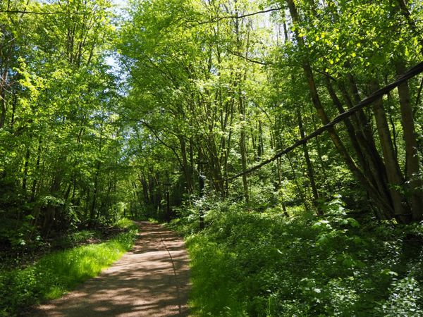
Deze wandeling voert ons omhoog langs de Héibierg naar het plateau van Bigelbach. Eerst biedt het pad een prachtig uitzicht over de Sûre-vallei en vervolgens loopt het door het bos van de Héibierg en langs de Kuerbaach naar Bigelbach. Onderweg groeit de zeldzame en beschermde tongvaren.


Om deze video van derden te bekijken, moet je de cookies accepteren.

Hoogtepunten langs de tocht

Lokale wandelroute - R1

  • © Pancake! Photographie
    Restaurant Dimmer
    Restaurant Dimmer
    Meer informatie
  • © Ronn's Bikes, Kajak & Kanu
    Ronn's Bikes, Kajak & Kanu
    Ronn's Bikes, Kajak & Kanu
    Meer informatie
  • © ORT MPSL
    Tourist Info Reisdorf
    Tourist Info Reisdorf
    Meer informatie
  • Parking - Tourist Info Reisdorf
    Parking - Tourist Info Reisdorf
    Meer informatie

Vergelijkbare wandeltochten

© Ville de Differdange, Ville de Differdange
Rondwandelroutes
"Märchewee" Differdange
Afstand: 1,01 km
Duur: 0:45 h
Moeilijkheidsgraad: makkelijk
Meer informatie
© Claude Piscitelli, Visit Luxembourg
Langeafstandswandelroutes
24 Station naar station Belvaux-Soleuvre - Belval-Université
Afstand: 4,17 km
Duur: 1:05 h
Moeilijkheidsgraad: makkelijk
Meer informatie
© CFL, Visit Luxembourg
Langeafstandswandelroutes
31 Station naar station Niederkorn - Bascharage-Sanem
Afstand: 5,28 km
Duur: 1:20 h
Moeilijkheidsgraad: makkelijk
Meer informatie
© CFL, Visit Luxembourg
Langeafstandswandelroutes
33 Station to station Dippach-Reckange - Leudelange
Afstand: 8,52 km
Duur: 2:15 h
Moeilijkheidsgraad: makkelijk
Meer informatie
© Visit Luxembourg
Langeafstandswandelroutes
40 Station naar station Roodt-Syr - Betzdorf
Afstand: 6,27 km
Duur: 1:36 h
Moeilijkheidsgraad: makkelijk
Meer informatie
© Visit Luxembourg
Langeafstandswandelroutes
42 Station naar station Betzdorf - Manternach
Afstand: 7,40 km
Duur: 1:55 h
Moeilijkheidsgraad: makkelijk
Meer informatie
© ORT Sud
Thematische routes
Astronomisch pas "De Saturn"
Afstand: 4,10 km
Duur: 1:05 h
Moeilijkheidsgraad: makkelijk
Meer informatie
© ORT Sud
Rondwandelroutes
Auto-Pédestre Rondwandelroute Clemency I
Afstand: 11,36 km
Duur: 3:05 h
Moeilijkheidsgraad: makkelijk
Meer informatie
© Visit Luxembourg
Rondwandelroutes
Auto-Pédestre Rondwandelroute Clemency II
Afstand: 8,44 km
Duur: 2:15 h
Moeilijkheidsgraad: makkelijk
Meer informatie