Circular routes Visit Luxembourg
Description
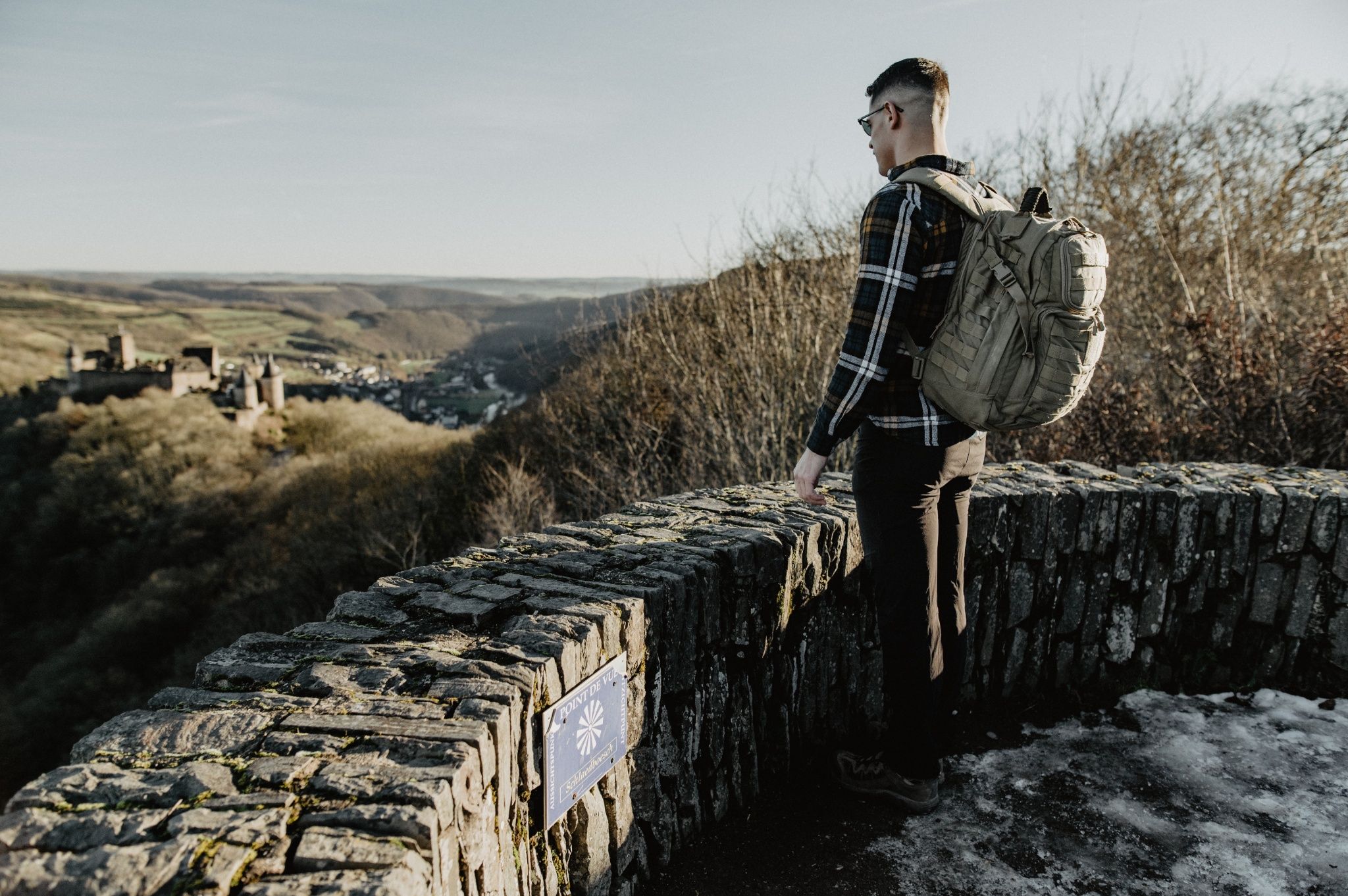
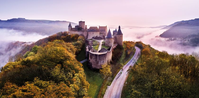
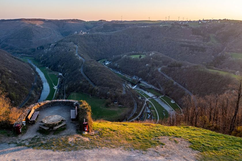
Up to the proud fortress
Bourscheid Castle towers over the valley, where the Sauer river curves again and again. You walk along the river and up to the fortress. If you have hiked to the Gringlee viewpoint on the opposite side of the valley, you are offered one of the most impressive views of the Éislek.
Audio
Bourscheid mp3Signposting
Directions
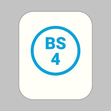
The hiking route is marked in both directions. Please follow the white-blue "BS 4" marking signs.
For your safety
Weather conditions such as wetness, ice, and wind can make a route difficult. The information refers to optimal conditions.
Equipment
Sturdy footwear and something to drink.
Journey
Public transport:
Parking:
Use the free public transport and travel climate-friendly by bus and train.
Nearest bus stop (130 m): "Bourscheid Op der Millen"
Parking:
A parking lot is located directly at the starting point.


 This website uses technology and content from the Outdooractive Platform.