© Visit Luxembourg
Müllerthal Germany France

Local hiking trail - B18

Hunting Season 2025/26 — Check for hunts

Autumn is here, and that means hunting season has begun! From mid-October to January/February, hunters are active across the country. Stay safe by checking hunt dates in your area on our Map. 

Click on Map in the Header > Services > More > Hunting.

Starting point

Dillingen: Camping Wies-Neu

Destination

Dillingen: Camping Wies-Neu

Distance
4,36 km
Duration
1:19 h
Difficulty
medium
  • Condition
Highest point
310 Hm
Lowest point
169 Hm
Aggregated Ascent
134 Hm
Aggregated Descent
134 Hm
Circular routes Visit Luxembourg

Description

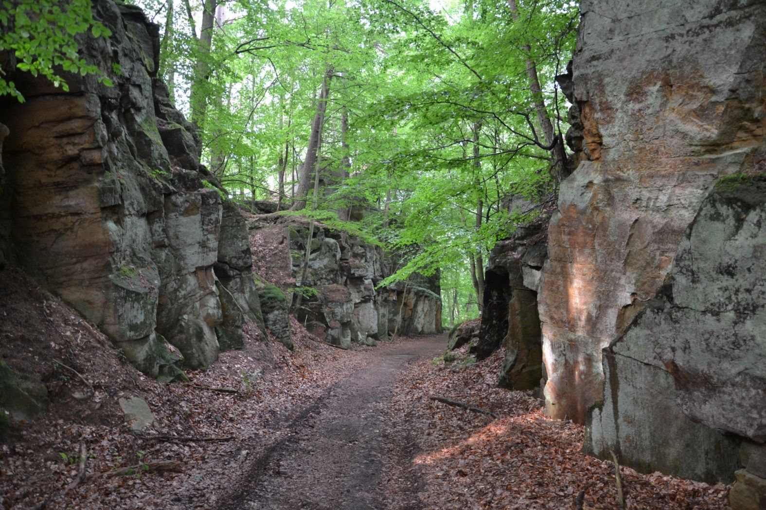
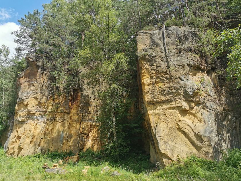
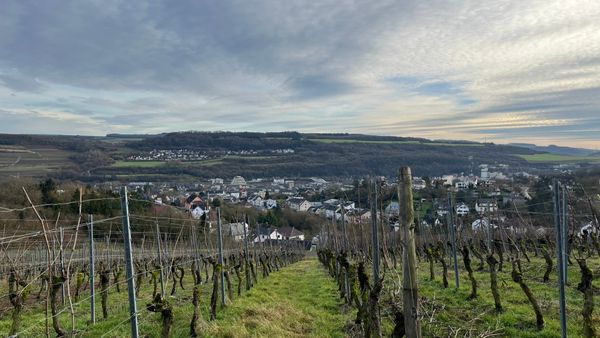
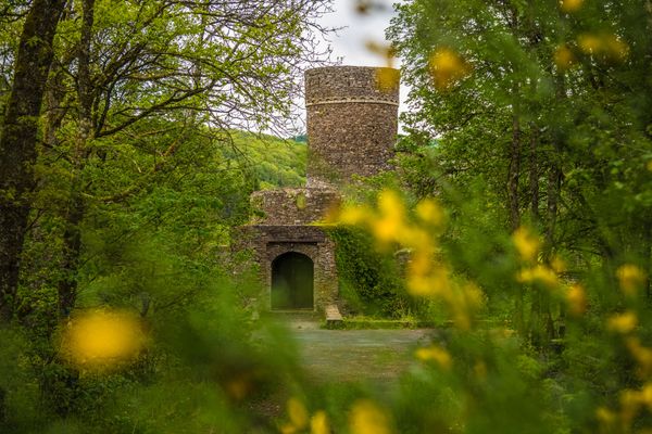
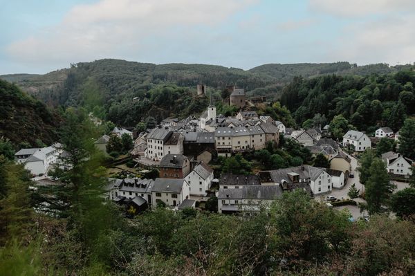
An easy hike with a lot of beautiful views of the river Sûre.

You first walk up gently and then into the forest. You will have many beautiful views of pastures and the Sûre on the edge of the forest.

The descent takes you through the romantic valley of the Millebaach, which you cross several times on small bridges and jetties. Finally, you reach the Sûre again and go back to your starting point.


Suggestions nearby

Local hiking trail - B18

  • © ORT MPSL
    Quarry "Steekaul Beaufort"
    Quarry "Steekaul Beaufort"
    Find out more

Similar hiking tours

© Visit Éislek, Visit Éislek
Circular routes
Local hiking trail BS 4 - Bourscheid-Moulin
Distance: 9,10 km
Duration: 3:05 h
Difficulty: medium
Find out more
© Visit Éislek, Visit Éislek
Circular routes
Local hiking trail GO 2 - Goesdorf
Distance: 7,72 km
Duration: 2:20 h
Difficulty: medium
Find out more
© Visit Éislek, Visit Éislek
Circular routes
Local hiking trail RB 6 - Bilsdorf
Distance: 9,06 km
Duration: 2:35 h
Difficulty: medium
Find out more
© Visit Éislek, Visit Éislek
Circular routes
Local hiking trail TV 3 - Troisvierges
Distance: 8,14 km
Duration: 2:20 h
Difficulty: medium
Find out more
© Visit Éislek, Visit Éislek
Circular routes
Local hiking trail TA 4 - Brandenbourg
Distance: 8,22 km
Duration: 2:35 h
Difficulty: medium
Find out more
© Visit Luxembourg
Cultural walk Wasserbillig
Distance: 10,87 km
Duration: 3:08 h
Difficulty: medium
Find out more
© Pancake! Photography, Visit Luxembourg
Circular routes
Local hiking trail Lintgen - Li1
Distance: 8,05 km
Duration: 2:20 h
Difficulty: medium
Find out more
© Pancake! Photographie, Visit Luxembourg
Thematic paths
Geo-Pad Haupeschbaach and Halerbaach
Distance: 4,94 km
Duration: 2:00 h
Difficulty: medium
Find out more
© Visit Luxembourg
Circular routes
Local hiking trail - C6
Distance: 5,88 km
Duration: 1:40 h
Difficulty: medium
Find out more
outdooractive This website uses technology and content from the Outdooractive Platform.