Luxembourg City Éislek Müllerthal Mosel Minett Guttland Germany France

Didactic trail Haard-Hesselsbierg-Staebierg, Red Loop

Starting point

49 rue Gare-Usines, 3481 Dudelange

Destination

49 rue Gare-Usines, 3481 Dudelange

Distance

11,25 km

Duration

3:05 h

Difficulty

medium

  • Condition
  • Technique

Highest point

157 Hm

Lowest point

157 Hm

Circular routes Visit Minett

Description

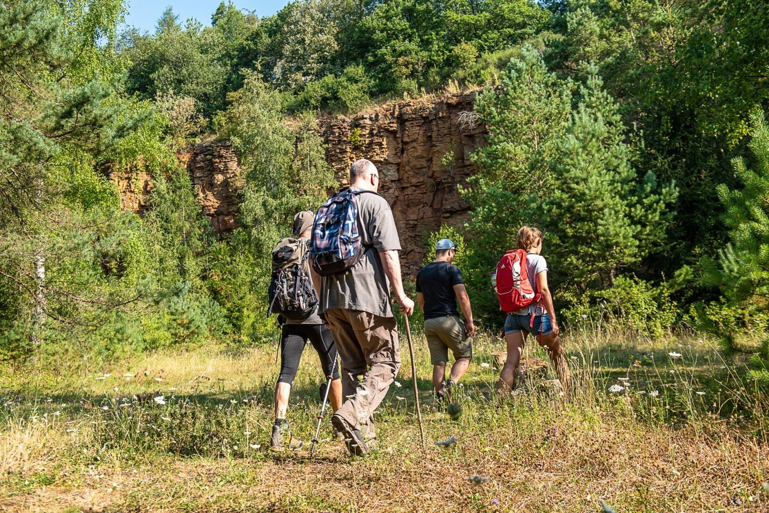
Learn more about the former open pit mining area "Haard" on the red loop of the Didactic trail Haard-Hesselsbierg-Staebierg

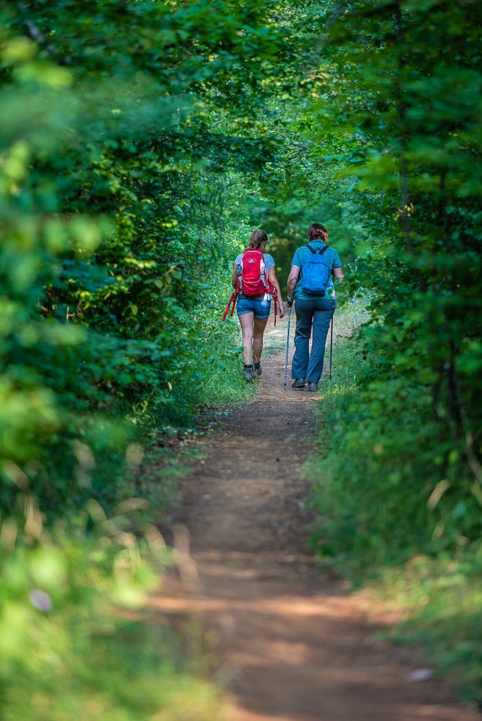
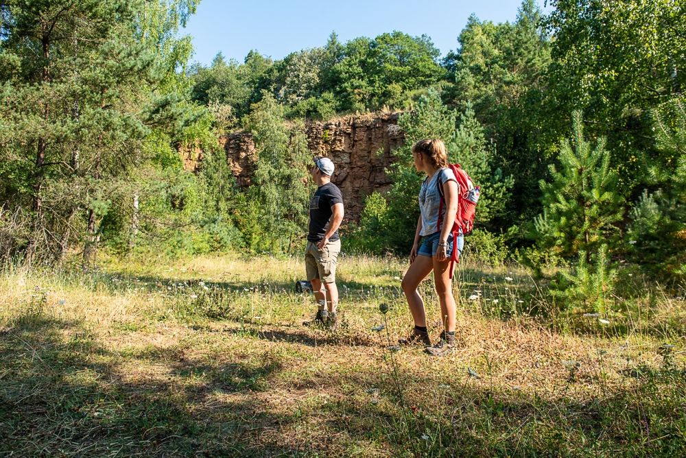
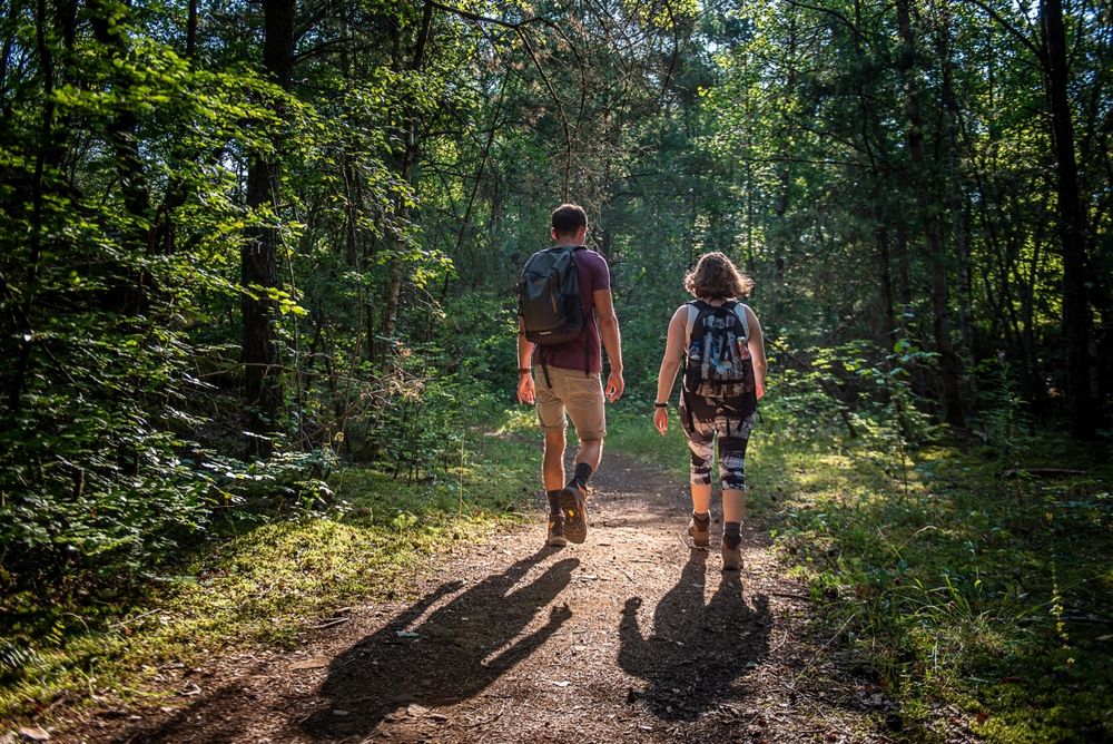
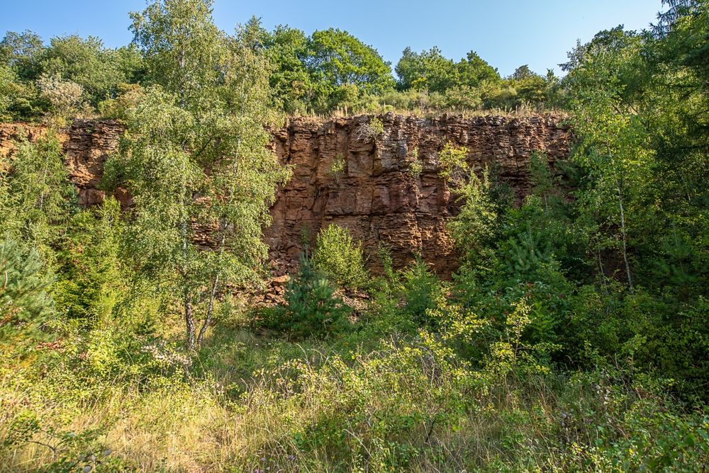
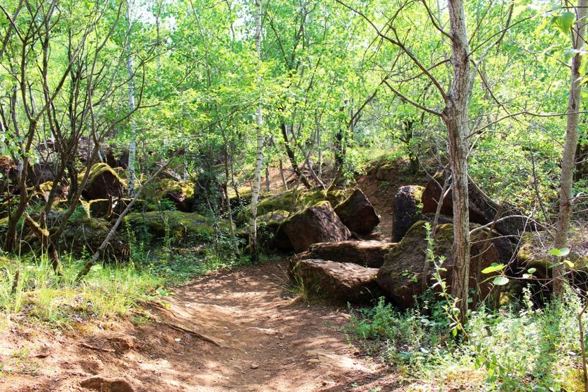
The former open-pit mine and today's nature reserve are explained on 17 panels along the way. Discover the large plateaus of the former opencast mine, walk along a path meandering between settlements through the forest and gaze at the high rock faces. You will certainly see the red rocks!

for tour routing
educational-trail-haard-hesselsbierg-staebierg-red-loop gpx
Plan your journey

Tour feedback

Report a problem
Show all pictures

Suggestions nearby

Didactic trail Haard-Hesselsbierg-Staebierg, Red Loop

  • Documentation Centre for Human Migrations

    Where? Rue Gare-Usines, L-3481 Dudelange

    Documentation Centre for Human Migrations

    Migration history and the background of cultural diversity in Luxembourg - you will learn a lot here

    Find out more
  • Mountain Bike Wash Station - Dudelange

    Where? Rue Reiteschkopp, L-3476 Dudelange

    Mountain Bike Wash Station - Dudelange

    Mountain Bike Wash Station - Dudelange

    Find out more
  • Where? rue des Usines, L-3481 Dudelange

    Nature reserve "Haard, Hesselsbierg, Staebierg"

    The largest nature reserve in the country

    Find out more

Similar hiking tours

Distance trails
21 Station to station Bettembourg - Dudelange-Burange

Distance: 14,68 km
Duration: 3:45 h
Difficulty: medium

Find out more
Distance trails
22 Station to Station Dudelange - Burange - Rumelange

Distance: 10,28 km
Duration: 3:00 h
Difficulty: medium

Find out more
Distance trails
23 Station to station Rumelange - Kayl

Distance: 12,64 km
Duration: 3:25 h
Difficulty: medium

Find out more
Distance trails
25 Station to station Kayl - Schifflange - Esch-sur-Alzette

Distance: 21,80 km
Duration: 6:00 h
Difficulty: medium

Find out more
Distance trails
26 Station to station Esch-sur-Alzette - Belvaux-Soleuvre

Distance: 9,06 km
Duration: 2:25 h
Difficulty: medium

Find out more
Distance trails
27 Station to station Belvaux-Soleuvre-Oberkorn

Distance: 5,20 km
Duration: 1:25 h
Difficulty: medium

Find out more
Distance trails
28 Station to station Oberkorn - Niederkorn

Distance: 8,68 km
Duration: 2:25 h
Difficulty: medium

Find out more
Distance trails
29 Station to station Niederkorn - Rodange

Distance: 10,16 km
Duration: 2:55 h
Difficulty: medium

Find out more
Distance trails
30 Station to station Oberkorn - Fond de Gras - Rodange

Distance: 17,83 km
Duration: 4:55 h
Difficulty: medium

Find out more
outdooractive This website uses technology and content from the Outdooractive Platform.