© Visit Luxembourg
Guttland Germany France

Auto-pédestre trail Tuntange

Starting point

Rue de Luxembourg in Tuntange (N12)

Destination

Rue de Luxembourg in Tuntange (N12)

Distance
6,79 km
Duration
1:54 h
Difficulty
easy
  • Condition
Highest point
352 Hm
Lowest point
254 Hm
Aggregated Ascent
140 Hm
Aggregated Descent
140 Hm
Circular routes Visit Luxembourg

Description

Circular walk Tuntange

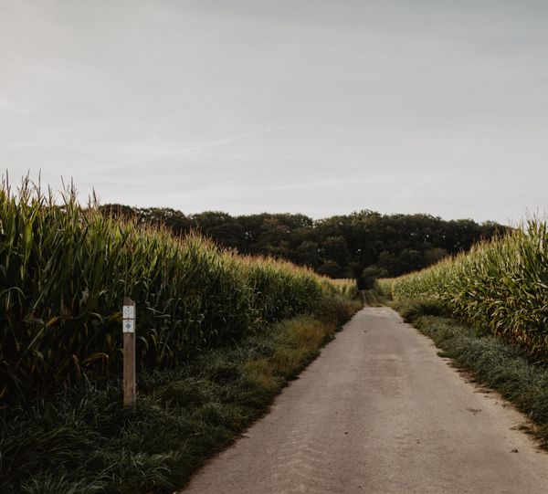
We leave the village and go south. We walk across fields and through forests, go past the chapel of Scheidel and head for the valley of the Eisch. We ramble across Bour and follow the edge of the Mariendallerbësch. We return to the starting point via the Kréckelsbierg and across fields.
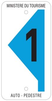
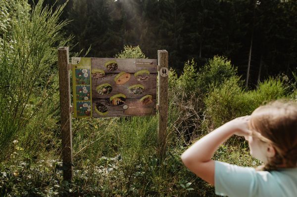
 

Suggestions nearby

Auto-pédestre trail Tuntange

  • Serge Erpelding
    Serge Erpelding
    Find out more

Similar hiking tours

© Administration des Eaux et Forêts / LFT
Esch: Sentier Pierre Wies trail – 8.5km
Distance: 10,60 km
Duration: 2:55 h
Difficulty: easy
Find out more
© ORT Sud
Circular routes
Natura 2000 trail - Loop B: « L’exploitation des terrains ferrières, jadis et aujourd’hui » – 4,5 km
Distance: 4,88 km
Duration: 1:15 h
Difficulty: easy
Find out more
© Pulsa Pictures, Pulsa Pictures ORT Sud
Esch: Réimerwee - 4 km
Distance: 4,42 km
Duration: 1:15 h
Difficulty: easy
Find out more
© Visit Luxembourg
Circular routes
Auto-Pédestre trail Tadler
Distance: 4,57 km
Duration: 1:30 h
Difficulty: easy
Find out more
© Visit Luxembourg
Thematic paths
Nature Trail Cactusbësch
Distance: 6,09 km
Duration: 1:50 h
Difficulty: easy
Find out more
© Visit Luxembourg
Thematic paths
The Court Jester
Distance: 2,69 km
Duration: 1:00 h
Difficulty: easy
Find out more
© Visit Luxembourg
Thematic paths
The Sonorous Trail
Distance: 5,76 km
Duration: 1:45 h
Difficulty: easy
Find out more
© Visit Luxembourg
Thematic paths
Circular Walk "Forest Adventure - Mam Robi duerch de Bësch"
Distance: 2,82 km
Duration: 0:45 h
Difficulty: easy
Find out more
© ©Visit Éislek
Éischter Bëschrou
Distance: 4,33 km
Duration: 1:10 h
Difficulty: easy
Find out more