Description
Circular hiking route in Schönfels through a piece of untouched nature past rock formations and sandstone caves.
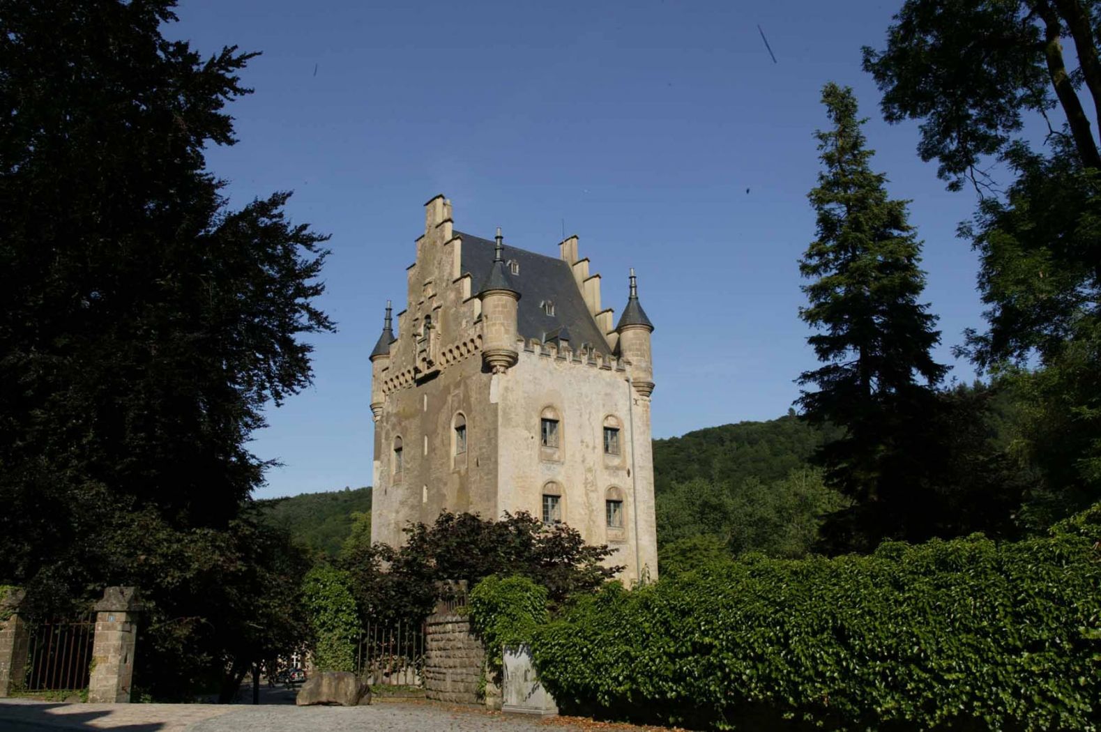
This hilly route connects the valley of the Mamer with that of the Eisch, passing Claushaff and around the Buerggruef. It crosses the natural Mierscherwald. Highlights of this circular route are the Mammerleen, an area with natural sandstone caves and a network of artificial tunnels, as well as Schönfels Castle at the starting point of the hiking trail. While the Auto-pédestre circular routes can be explored in both directions, the recommended direction for this path is clockwise.
Directions
The hiking trail is marked in both directions. Please follow the white-blue markings.
For your safety
Weather conditions such as wetness, ice, and wind can make a route more difficult. The information refers to optimal conditions.
Equipment
Sturdy footwear is recommended. Also remember to bring something to drink.
Journey
Use the free public transport and travel climate-friendly by bus and train.
Nearest bus stop: Schoenfels, Schlass
Parking:
A parking lot is located directly at the castle.


 This website uses technology and content from the Outdooractive Platform.