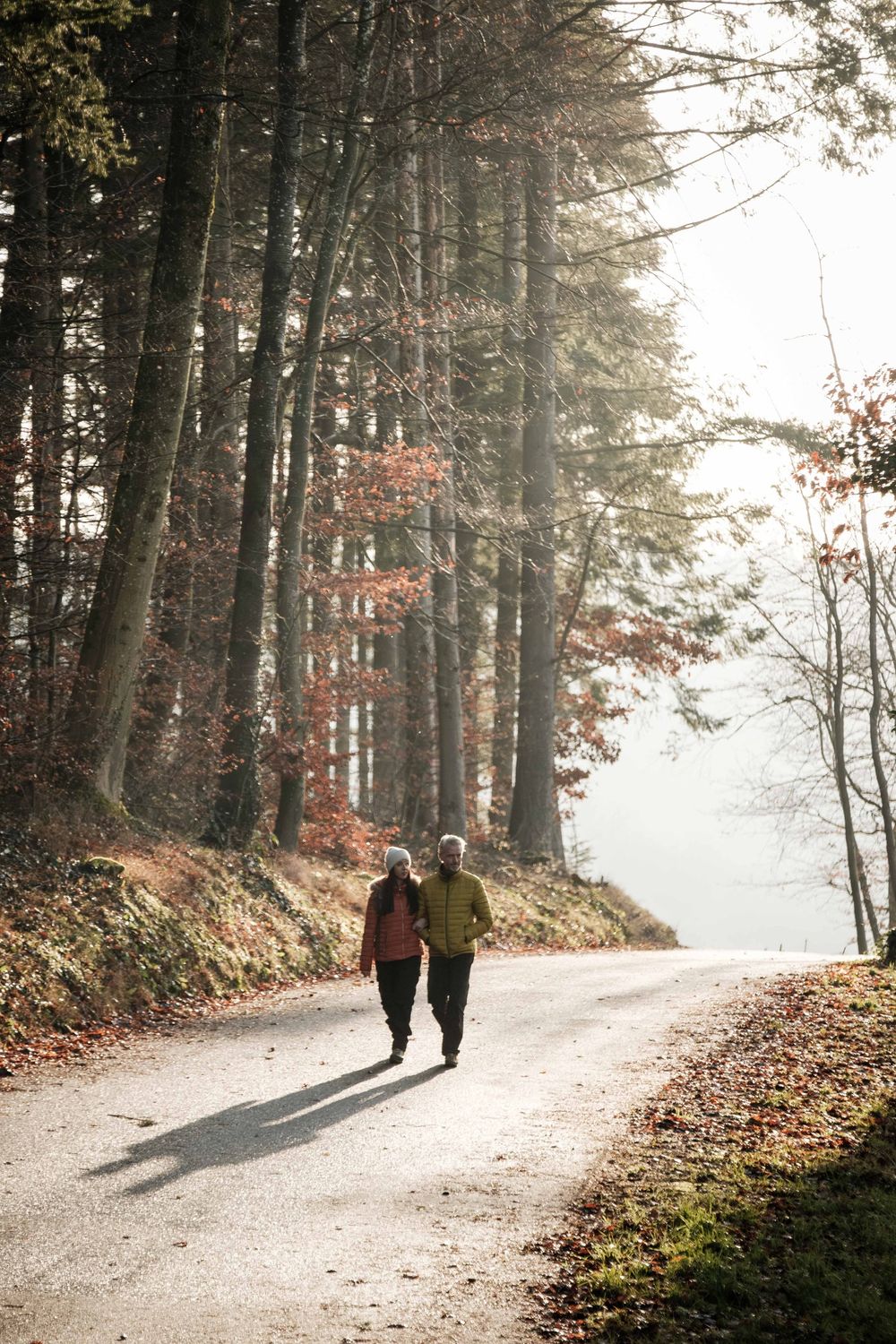
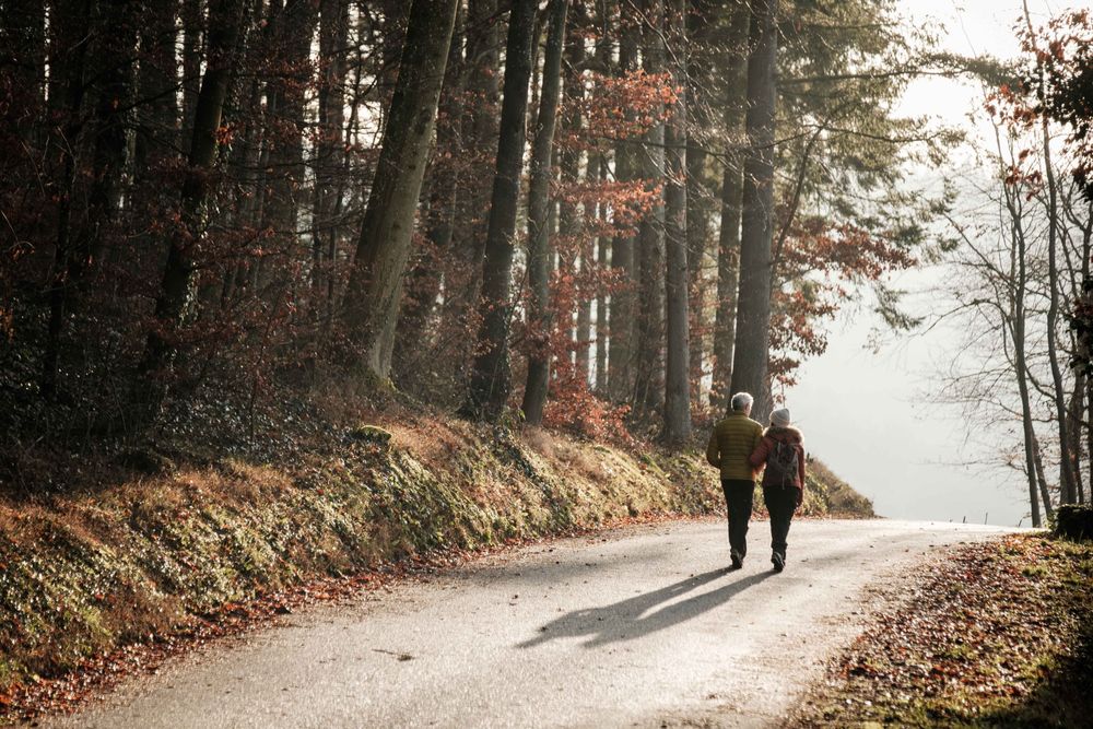
Starting point
Beaufort: Route de Reisdorf or Bigelbach: Church
Destination
Beaufort: Route de Reisdorf or Bigelbach: Church
Distance
12,98 km
Duration
3:45 h
Difficulty
medium
  • Condition
Highest point
413 Hm
Lowest point
296 Hm
Aggregated Ascent
268 Hm
Aggregated Descent
268 Hm
Mullerthal Trail - Leading Quality Trails - Best of Europe Visit Luxembourg

Description

Scenic Dog-friendly
The Mullerthal Trail offers four smaller tracks - the ExtraTours - which can also be characterized as very attractive hiking tracks. They can be considered as departures as well as additional tours when all the other hikes have been undertaken already.

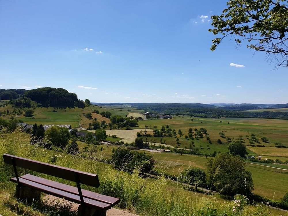
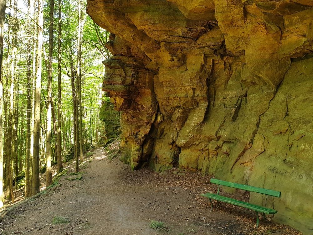
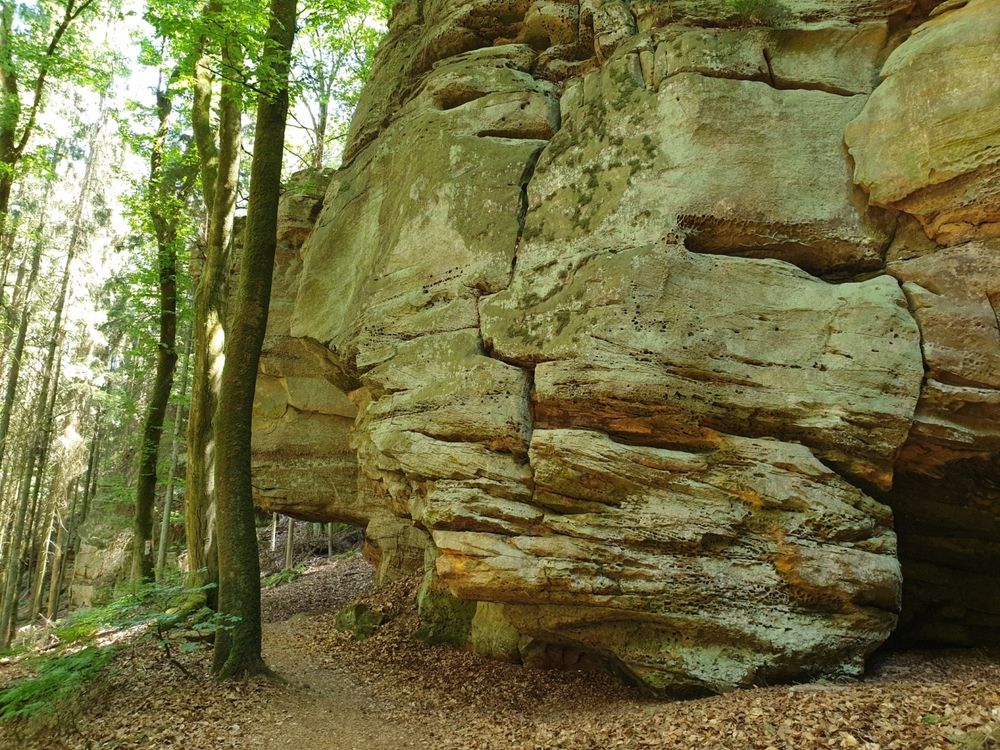
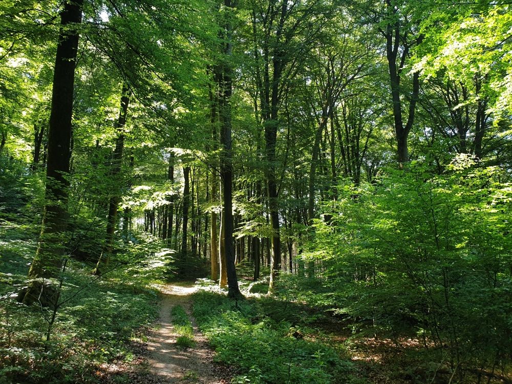
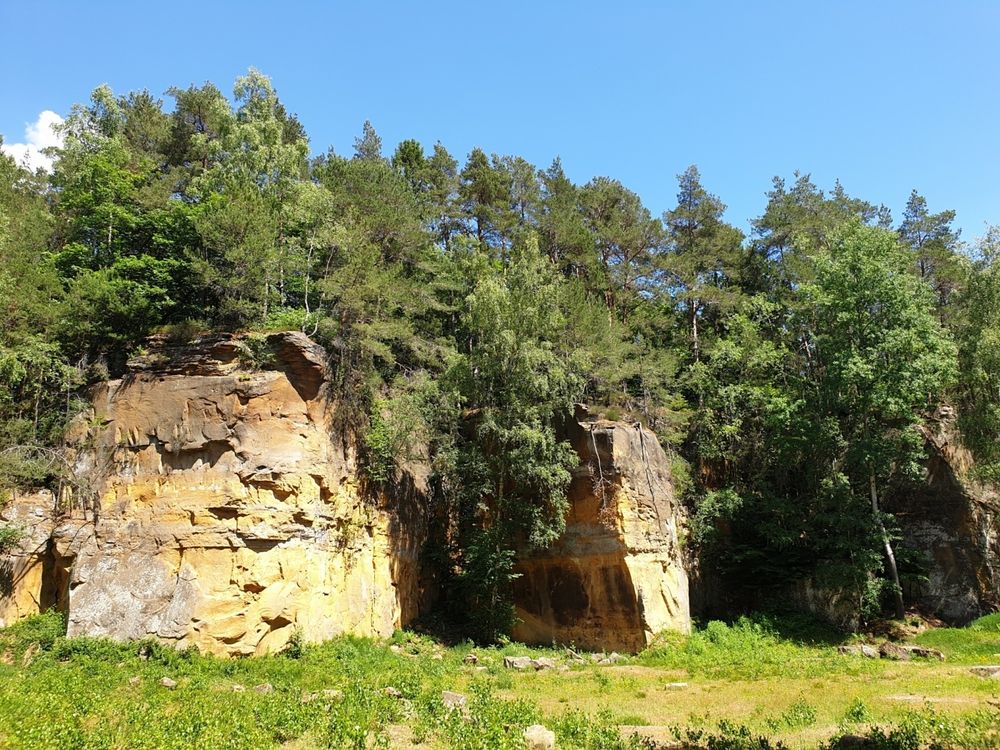
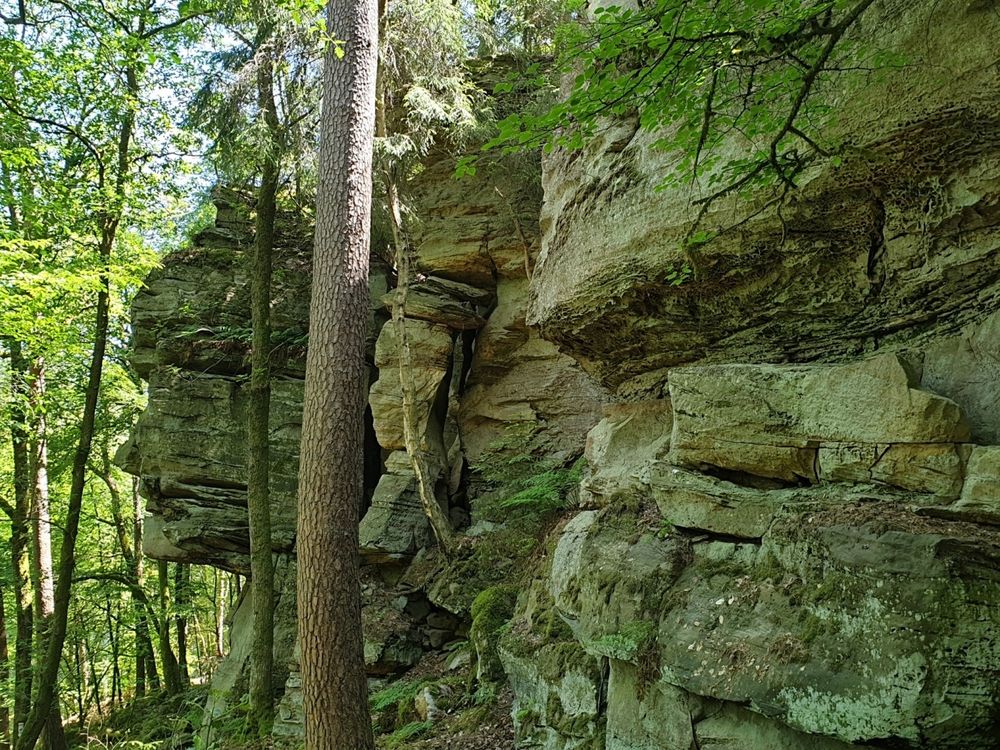
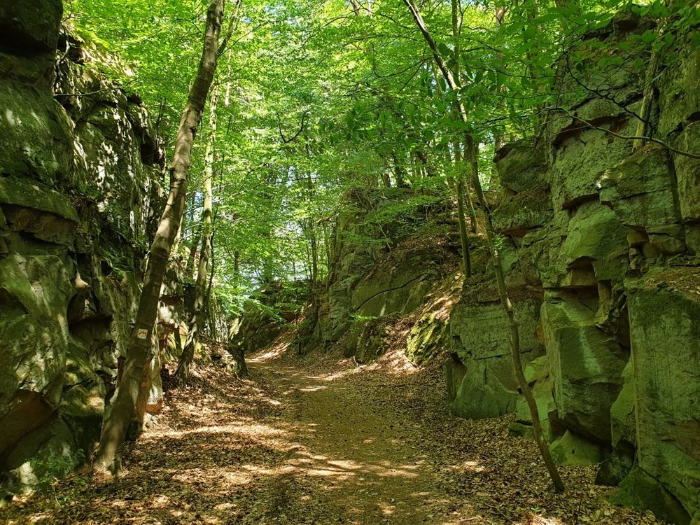
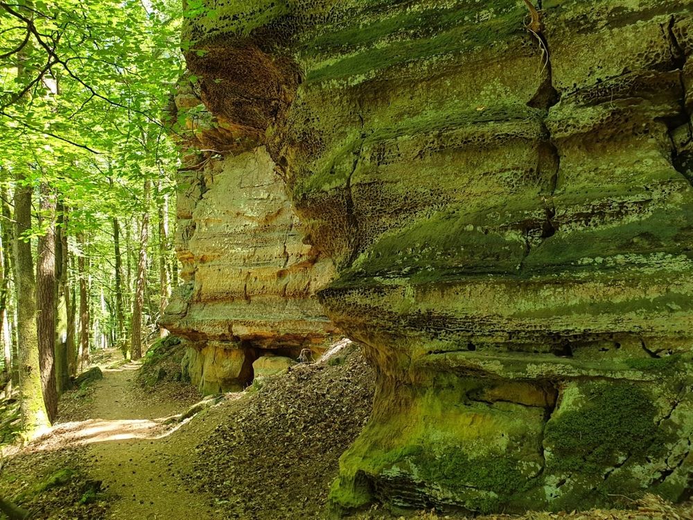
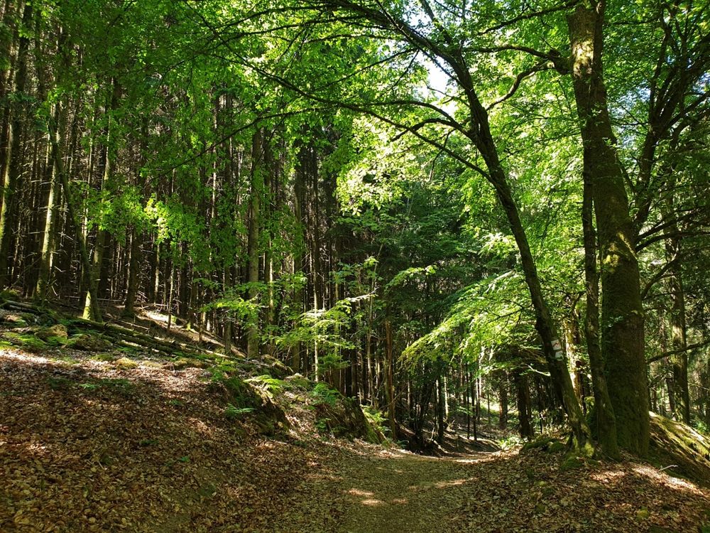
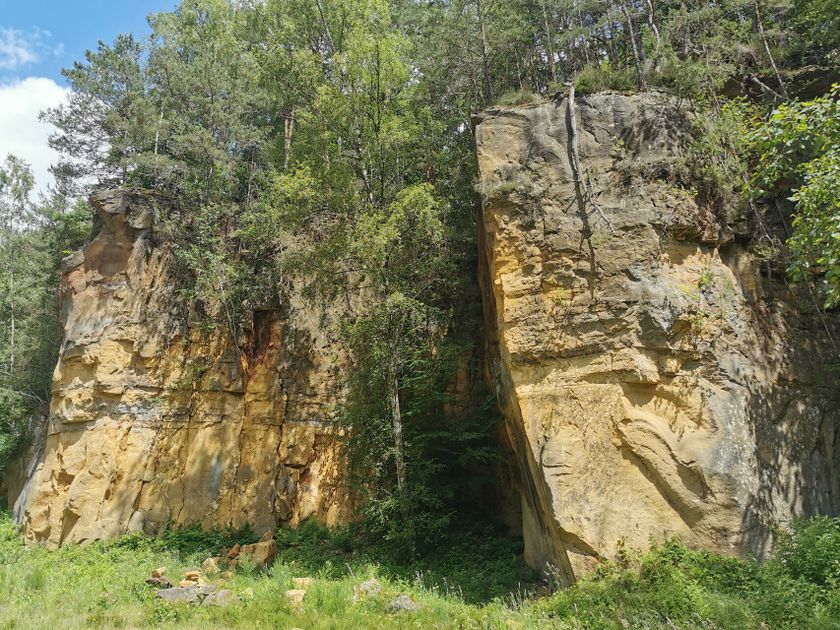
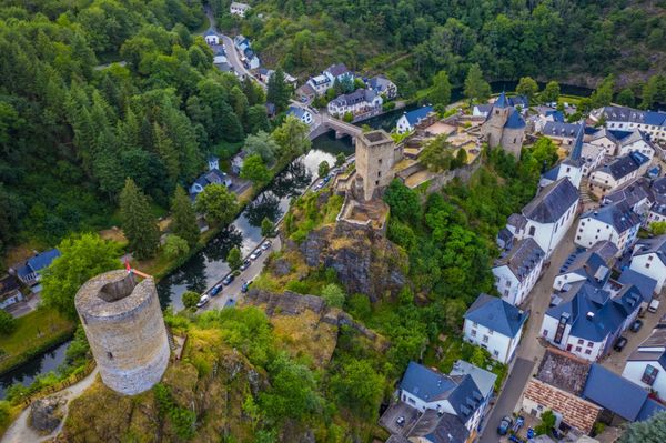
The ExtraTour B is situated between Beaufort and the Valley of the Sûre. With its medieval castle, Beaufort is a good place to visit and spend some time. In the center of the locality, the walk starts towards Dillingen passing through an ancient quarry which had been re-activated lately. The tour then passes by Bigelbach where you have nice views on the Sûre valley. From Bigelbach you walk up again to the Beaufort plateau; at Berens, you will encounter the Mullerthal Trail again.
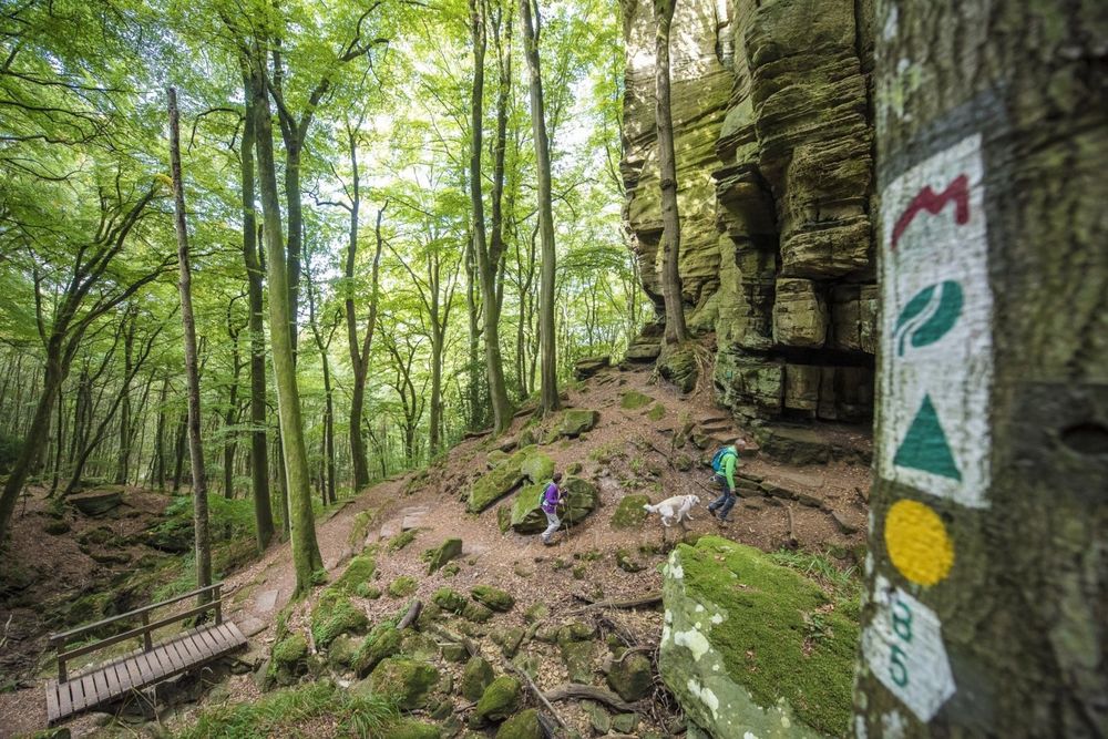
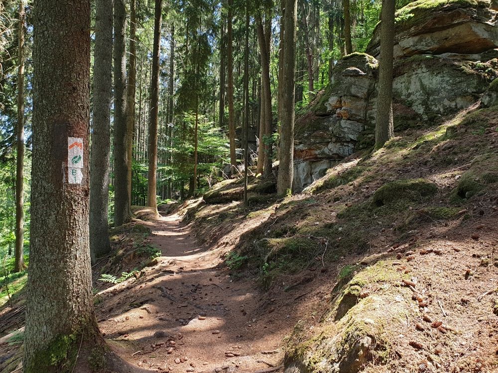
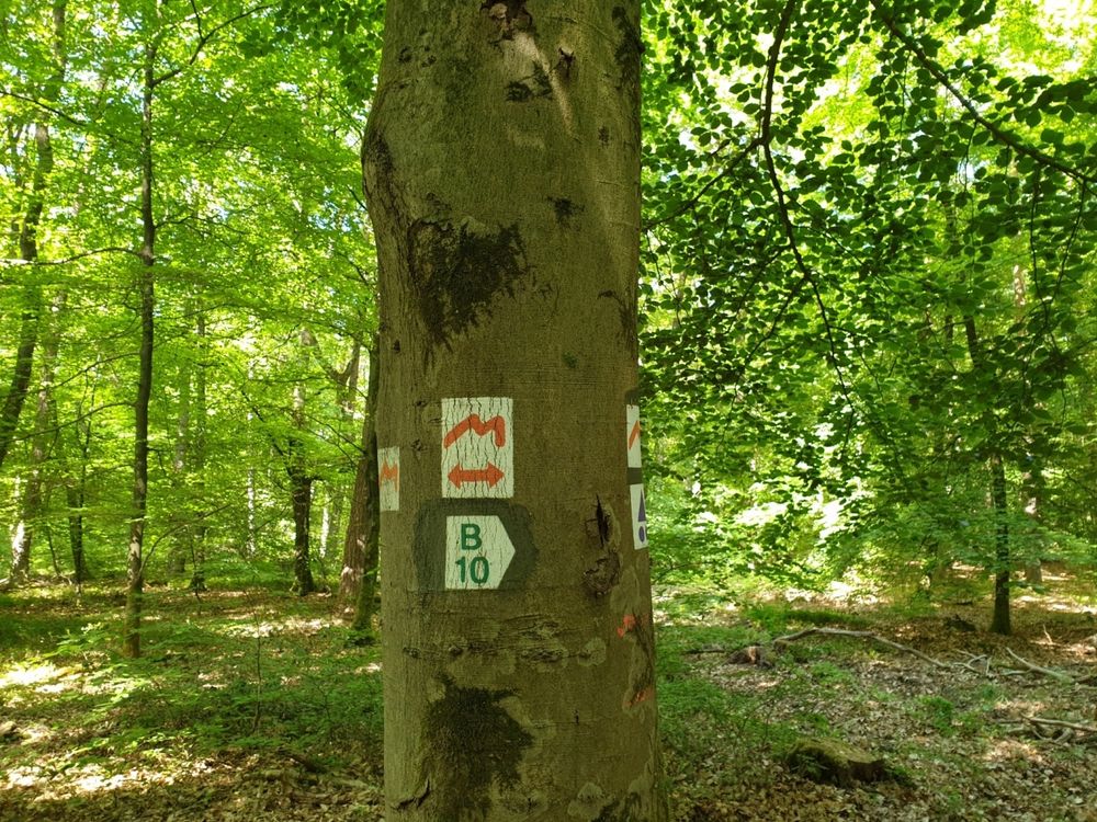
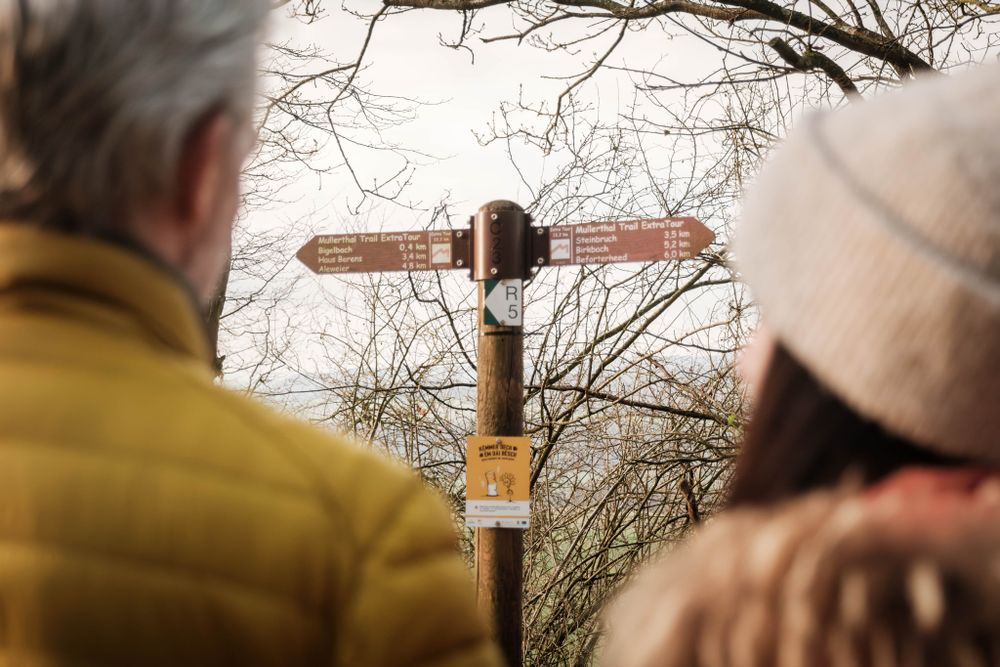
Suggestions nearby

Mullerthal Trail ExtraTour B

  • Quarry "Steekaul Beaufort"
    Quarry "Steekaul Beaufort"
    Find out more

Similar hiking tours

© © Wanderbüro Saar-Hunsrück, Klaus-Peter Kappest, SaarSchleifenLand
Dream loops
"Traumschleife" Schengen without borders
Distance: 8,54 km
Duration: 3:30 h
Difficulty: medium
Find out more
© Visit Luxembourg
Distance trails
21 Station to station Bettembourg - Dudelange-Burange
Distance: 14,66 km
Duration: 3:45 h
Difficulty: medium
Find out more
© CFL, Visit Luxembourg
Distance trails
22 Station to Station Dudelange - Burange - Rumelange
Distance: 10,22 km
Duration: 3:05 h
Difficulty: medium
Find out more
© ORT Sud
Distance trails
23 Station to station Rumelange - Kayl
Distance: 12,57 km
Duration: 3:25 h
Difficulty: medium
Find out more
© Visit Luxembourg
Distance trails
25 Station to station Kayl - Schifflange - Esch-sur-Alzette
Distance: 21,71 km
Duration: 6:05 h
Difficulty: medium
Find out more
© Pulsa Pictures, ORT SUD
Distance trails
26 Station to station Esch-sur-Alzette - Belvaux-Soleuvre
Distance: 9,05 km
Duration: 2:30 h
Difficulty: medium
Find out more
© Visit Luxembourg
Distance trails
27 Station to station Belvaux-Soleuvre-Oberkorn
Distance: 5,20 km
Duration: 1:25 h
Difficulty: medium
Find out more
© ORT Sud
Distance trails
28 Station to station Oberkorn - Niederkorn
Distance: 8,69 km
Duration: 2:25 h
Difficulty: medium
Find out more
© ORT Sud
Distance trails
29 Station to station Niederkorn - Rodange
Distance: 10,12 km
Duration: 2:55 h
Difficulty: medium
Find out more