Description
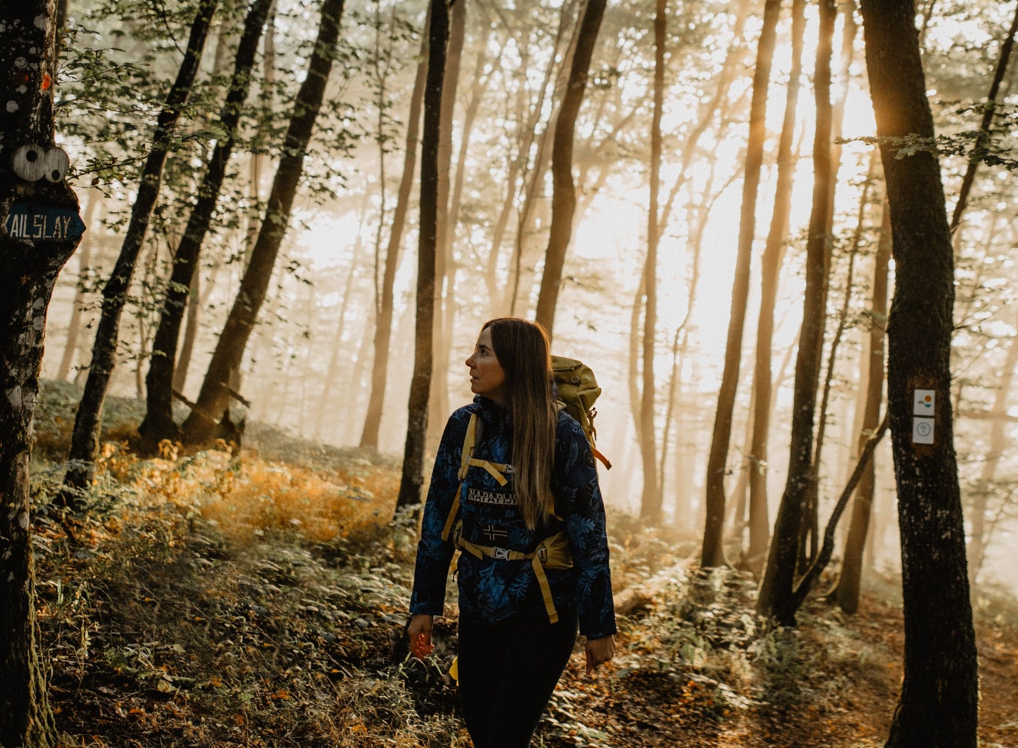
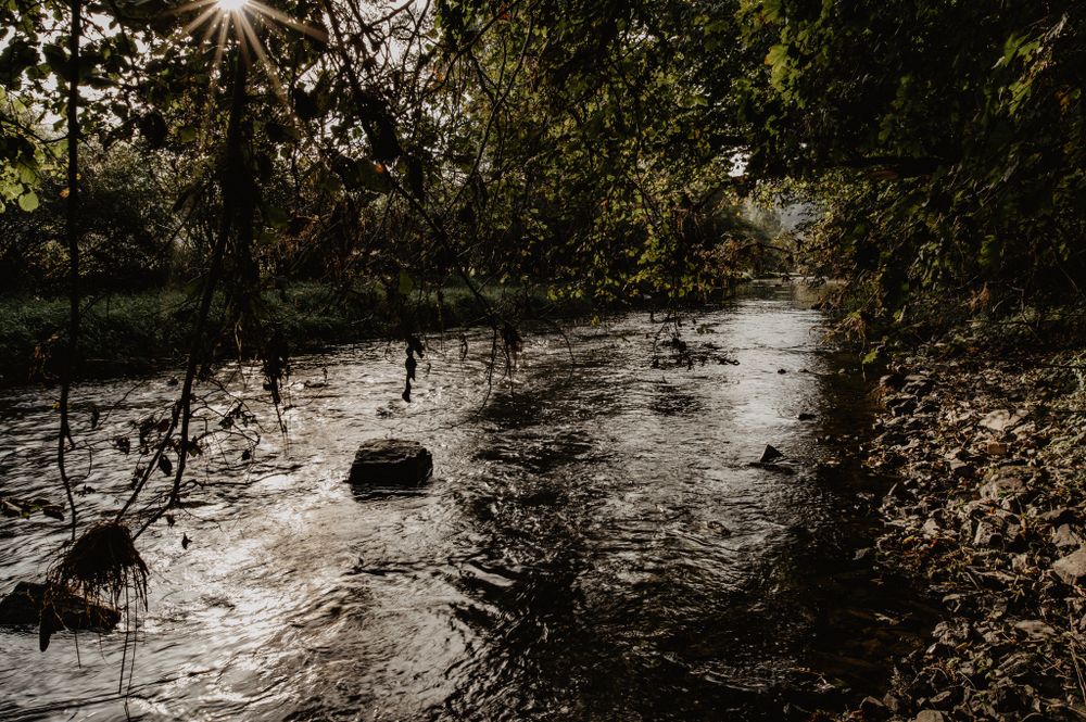
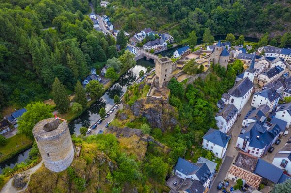
Your path begins at the top of Heinerscheid. There you can pause for a moment at the monument to the 6th Armored Division. Then slowly, step by step, you descend into the valley of the Our. Before you descend completely, you will cross a steep rocky ridge, the Kasselslee. From there you can catch your first glimpse of the river that will accompany you the rest of the way. The ascent to the Kailslee viewpoint takes you out of the valley again.
Signposting

Directions
The hiking trail is marked in both walking directions. Please follow the Éislek waymarks.
For your safety
Weather conditions such as wetness, ice and wind can make a tour difficult. The information given refers to optimal conditions.
Equipment
Sturdy shoes and something to drink.
Journey
Use the free public transport and travel climate-friendly by bus and train.
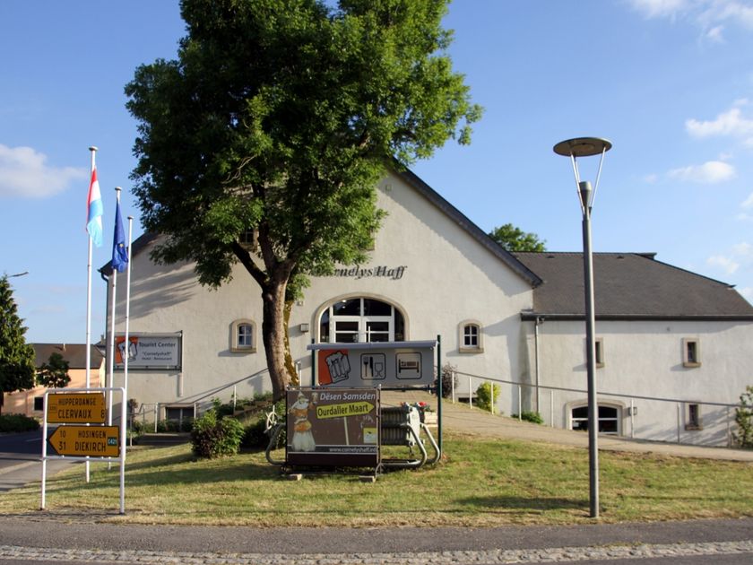
Nearest bus station is (230 m): "Geméin"
www.mobiliteit.lu
Parking:
A parking place is located directly at the starting point.


 This website uses technology and content from the Outdooractive Platform.