© Visit Luxembourg
Müllerthal Germany France

Auto-pédestre trail Echternach Centre

Starting point
Echternach: Basilika
Destination
Echternach: Basilika
Distance
6,88 km
Duration
2:01 h
Difficulty
medium
  • Condition
  • Technique
Highest point
295 Hm
Lowest point
157 Hm
Aggregated Ascent
140 Hm
Aggregated Descent
140 Hm
Circular routes Visit Luxembourg

Description

Refreshment stops available
Due to forestry works at Aesbaach the Auto-Pédestre Echternach Centre will be closed from 22.04. until probably 08.05.!


This hiking paths combines old town flair in Echternach with the discovery of imposing rock formations, rustic forests and some relaxation on the banks of the Sûre.

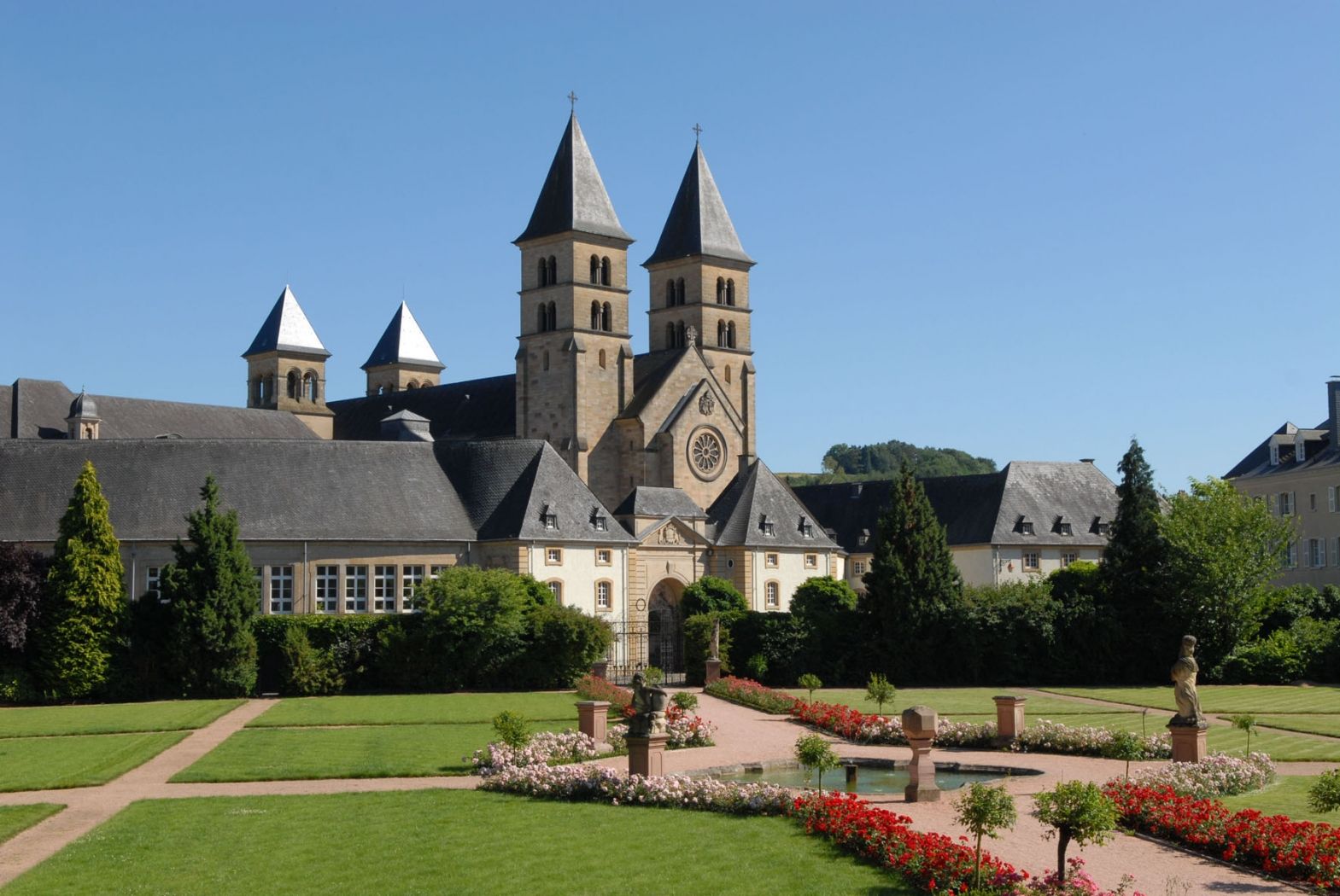
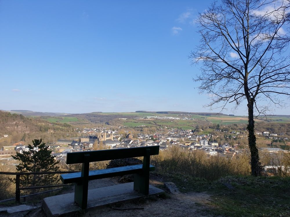
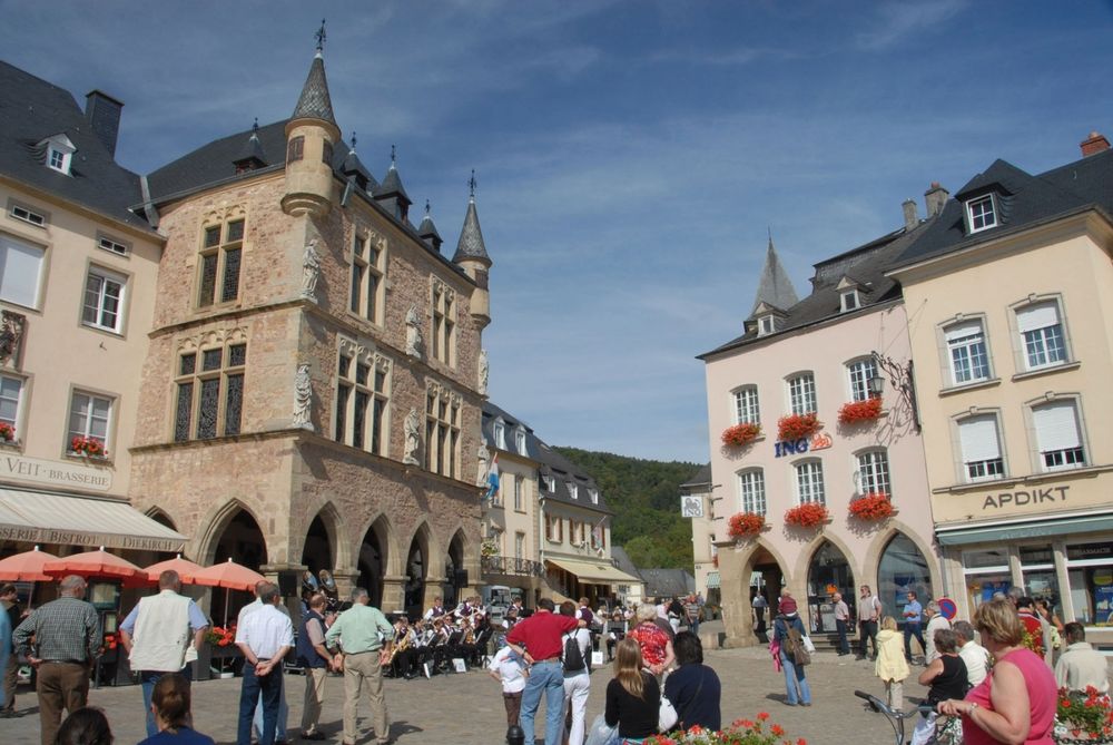
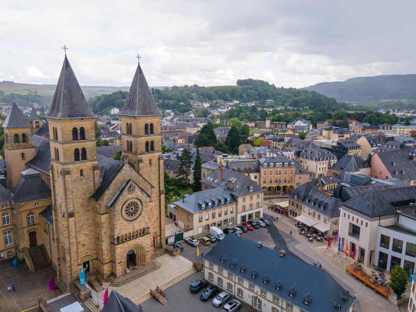
The hike starts in the middle of Echternach, at the Basilica. The first ascent of the path is tough but you will be rewarded with a spectacular view of Echternach from Trooskneepchen.

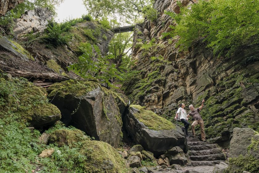
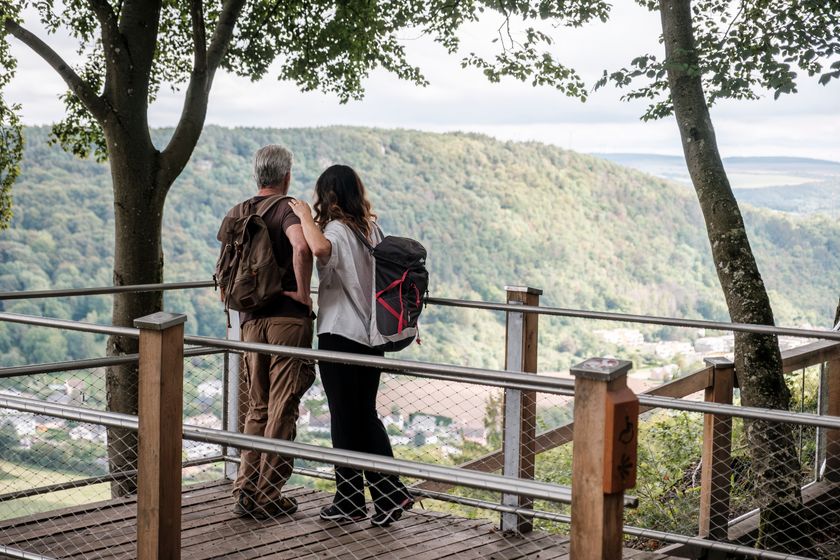
You continue through the forest towards the imposing "Wollefsschlucht" where you should stop and admire the imposing rock formations. If you come from Echternach, you can then take up on the left towards the lookout point "Paulsplatte" or you go up on your right side to "Bildcheslee" offering a wonderful on the river Sûre.

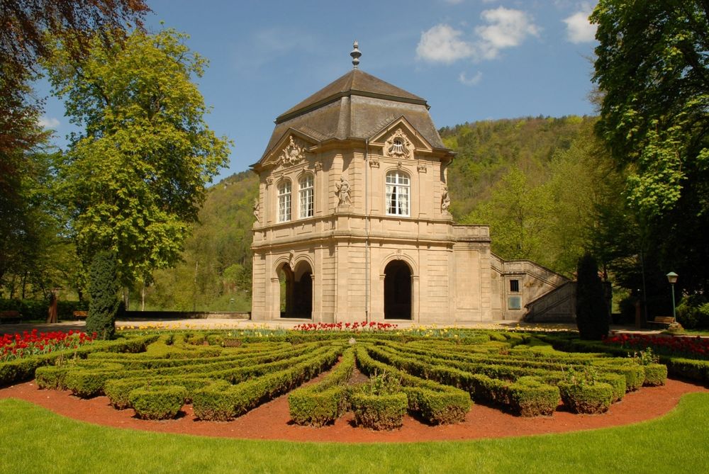
The second half of the path leads downhill, first along the renatured Aesbaach and then down to the Sûre. You follow the river until you get to the municipal park of Echternach. You get back to your starting point.


Please make sure to enable your Cookies in case you don't see this content.

Suggestions nearby

Auto-pédestre trail Echternach Centre

  • © Pancake! Photographie
    Rock formation "Wollefsschlucht"
    Imposing rock gorge with rock walls rising up to 50 m in height.
    Find out more
  • © Pancake! Photographie
    Picknick place Paulsplatte
    Picknick place Paulsplatte
    Find out more

Similar hiking tours

© © Wanderbüro Saar-Hunsrück, Klaus-Peter Kappest, SaarSchleifenLand
Dream loops
"Traumschleife" Schengen without borders
Distance: 8,54 km
Duration: 3:30 h
Difficulty: medium
Find out more
© Visit Luxembourg
Distance trails
21 Station to station Bettembourg - Dudelange-Burange
Distance: 14,66 km
Duration: 3:45 h
Difficulty: medium
Find out more
© CFL, Visit Luxembourg
Distance trails
22 Station to Station Dudelange - Burange - Rumelange
Distance: 10,22 km
Duration: 3:05 h
Difficulty: medium
Find out more
© ORT Sud
Distance trails
23 Station to station Rumelange - Kayl
Distance: 12,57 km
Duration: 3:25 h
Difficulty: medium
Find out more
© Visit Luxembourg
Distance trails
25 Station to station Kayl - Schifflange - Esch-sur-Alzette
Distance: 21,71 km
Duration: 6:05 h
Difficulty: medium
Find out more
© Pulsa Pictures, ORT SUD
Distance trails
26 Station to station Esch-sur-Alzette - Belvaux-Soleuvre
Distance: 9,05 km
Duration: 2:30 h
Difficulty: medium
Find out more
© Visit Luxembourg
Distance trails
27 Station to station Belvaux-Soleuvre-Oberkorn
Distance: 5,20 km
Duration: 1:25 h
Difficulty: medium
Find out more
© ORT Sud
Distance trails
28 Station to station Oberkorn - Niederkorn
Distance: 8,69 km
Duration: 2:25 h
Difficulty: medium
Find out more
© ORT Sud
Distance trails
29 Station to station Niederkorn - Rodange
Distance: 10,12 km
Duration: 2:55 h
Difficulty: medium
Find out more