Beschrijving
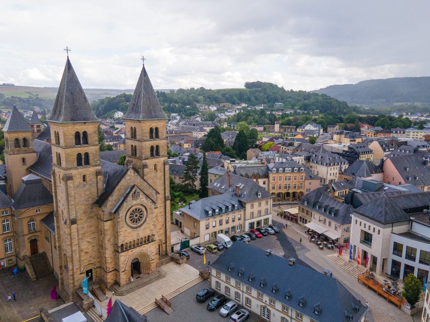
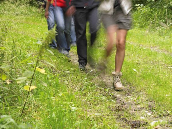
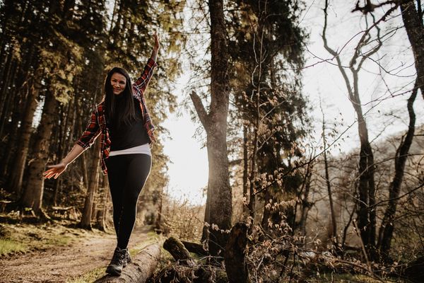
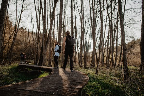
Deze rondwandeling combineert de flair van de oude binnenstad van Echternach, imposante rotsformaties, rustieke bossen en ontspanning aan de oevers van de Sûre.
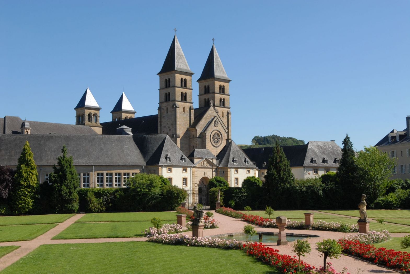
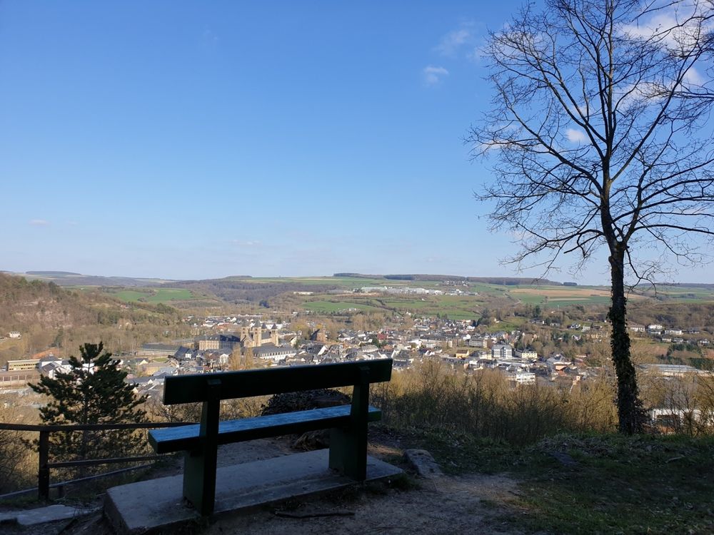
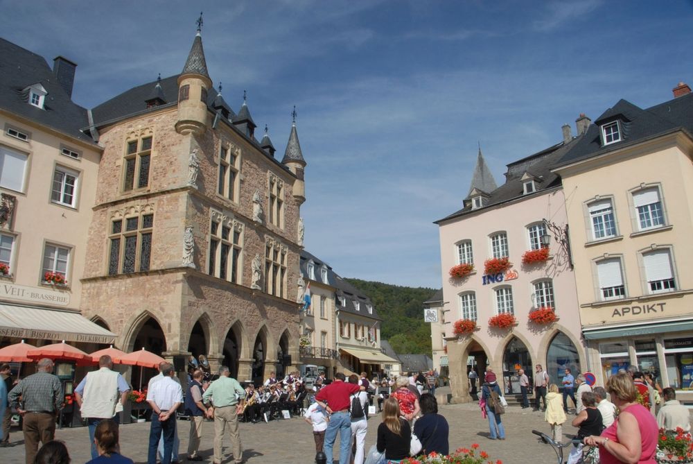
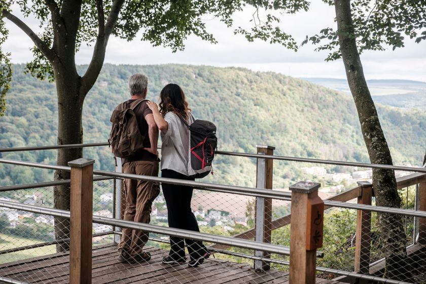
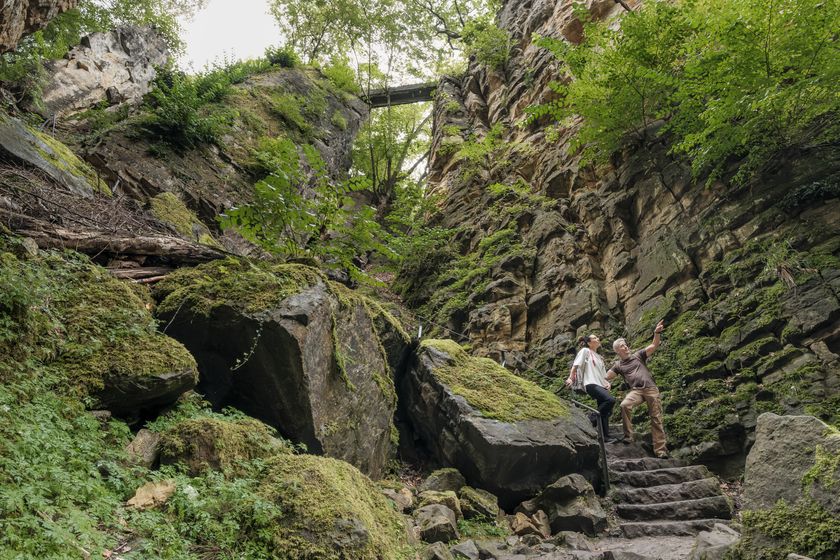
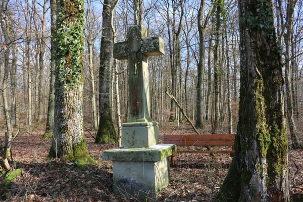
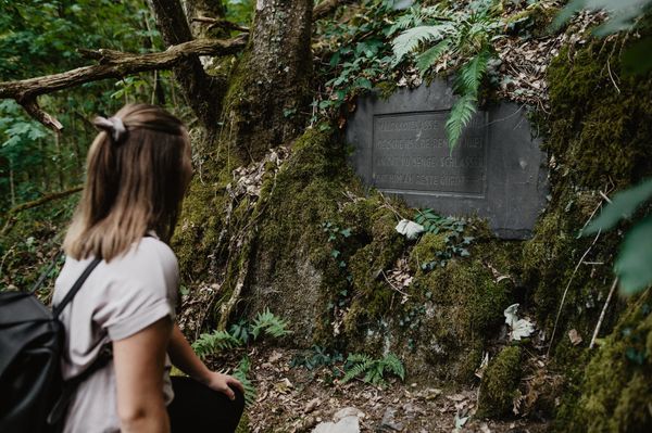
De wandeling begint in het centrum van de oude stad van Echternach, bij de basiliek. De eerste beklimming van de route is een echte uitdaging en wordt beloond met een spectaculair uitzicht over Echternach vanaf het zogenaamde Trooskneepchen. De route gaat verder door het bos naar de indrukwekkende rotsformatie “Wollefsschlucht”. Hier moet je voldoende tijd inplannen om je te verwonderen en te ontdekken. Als je vanuit Echternach de Wollefsschlucht bent overgestoken, kun je links omhoog klimmen naar de Paulsplatte of rechts naar het uitzichtspunt Bildcheslee met uitzicht op het Sûredal.
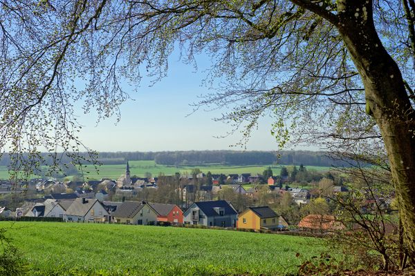
De tweede helft van de route loopt nu bergafwaarts, eerst langs de gerenatureerde Aesbaach tot aan de Sûre, waar de route de rivier volgt tot aan het stadspark van Echternach en terug naar het startpunt.
Uitrusting
Stevige schoenen en iets te drinken.
Aankomst
Dichtstbijzijnde bushalte: Echternach, Centre Ville


 Deze website maakt gebruik van technologie en inhoud van het Outdooractive Platform.