© Visit Luxembourg
Éislek Germany France

Pilgrim Route - Way of St. James

Starting point
Europadenkmal Dreiländereck Ouren, 4790 Burg-Reuland, Belgium
Destination
Monument "Schengener Abkommen", 5444 Schengen
Distance
177,51 km
Duration
46:50 h
Difficulty
medium
  • Condition
Highest point
409 Hm
Lowest point
141 Hm
Aggregated Ascent
1744 Hm
Aggregated Descent
1964 Hm
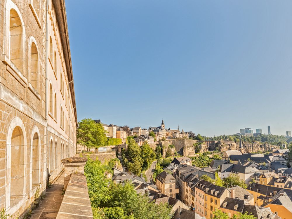
Distance trails Visit Luxembourg

Description

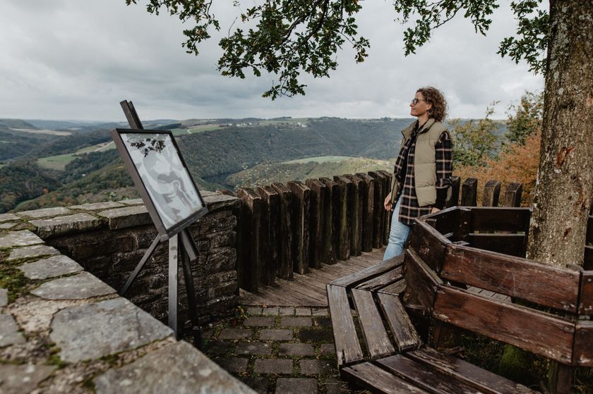
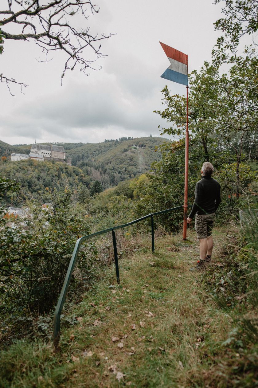
Pilgrimage to Santiago de Compostela
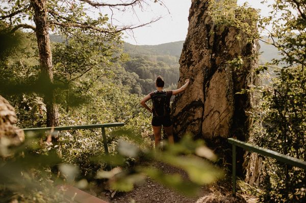
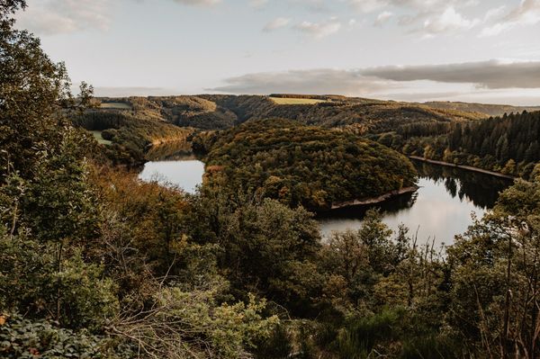
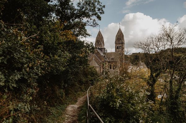
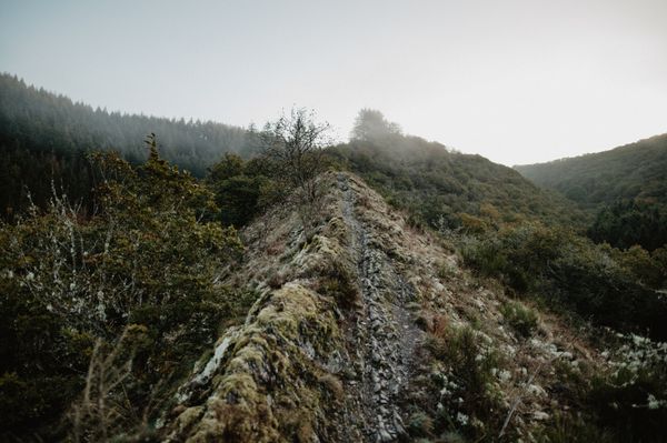
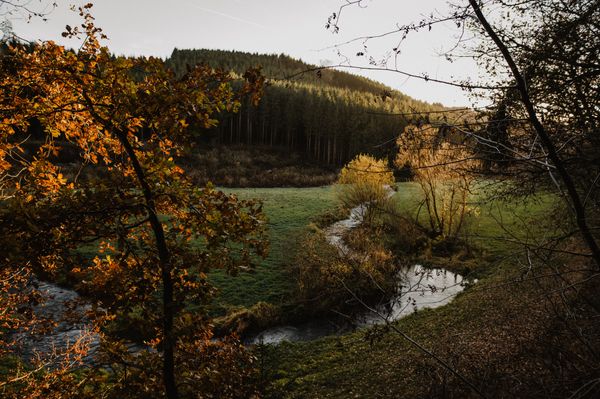
 

The 179 km-long Way of St James runs along Roman roads and watercourses where the Cult of St James is fostered (pilgrims’ sites such as the basilica with the grave of St Willibrordus in Echternach, places of pilgrimage such as Luxembourg Cathedral, the fortress in Dudelange that belonged to the Order of St John of Jerusalem, ...). From the three-countries border in Ouren/Lieler, the way leads in 6 stages to Vianden, Echternach, Grevenmacher, Luxembourg, Dudelange and Schengen.


Similar hiking tours

© © Wanderbüro Saar-Hunsrück, Klaus-Peter Kappest, SaarSchleifenLand
Dream loops
"Traumschleife" Schengen without borders
Distance: 8,54 km
Duration: 3:30 h
Difficulty: medium
Find out more
© Visit Luxembourg
Distance trails
21 Station to station Bettembourg - Dudelange-Burange
Distance: 14,66 km
Duration: 3:45 h
Difficulty: medium
Find out more
© CFL, Visit Luxembourg
Distance trails
22 Station to Station Dudelange - Burange - Rumelange
Distance: 10,22 km
Duration: 3:05 h
Difficulty: medium
Find out more
© ORT Sud
Distance trails
23 Station to station Rumelange - Kayl
Distance: 12,57 km
Duration: 3:25 h
Difficulty: medium
Find out more
© Visit Luxembourg
Distance trails
25 Station to station Kayl - Schifflange - Esch-sur-Alzette
Distance: 21,71 km
Duration: 6:05 h
Difficulty: medium
Find out more
© Pulsa Pictures, ORT SUD
Distance trails
26 Station to station Esch-sur-Alzette - Belvaux-Soleuvre
Distance: 9,05 km
Duration: 2:30 h
Difficulty: medium
Find out more
© Visit Luxembourg
Distance trails
27 Station to station Belvaux-Soleuvre-Oberkorn
Distance: 5,20 km
Duration: 1:25 h
Difficulty: medium
Find out more
© ORT Sud
Distance trails
28 Station to station Oberkorn - Niederkorn
Distance: 8,69 km
Duration: 2:25 h
Difficulty: medium
Find out more
© ORT Sud
Distance trails
29 Station to station Niederkorn - Rodange
Distance: 10,12 km
Duration: 2:55 h
Difficulty: medium
Find out more