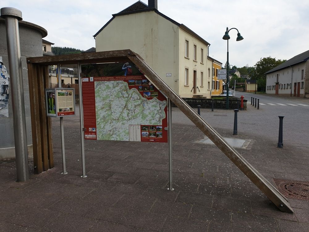
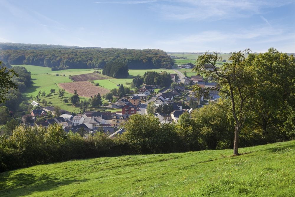
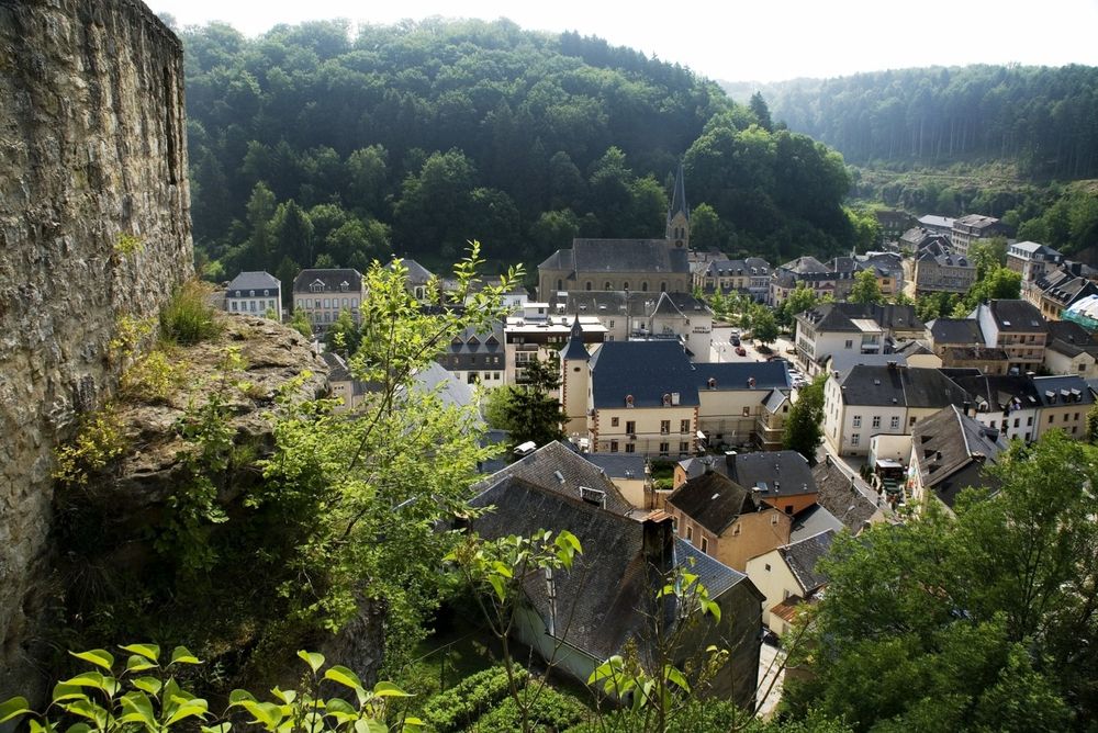
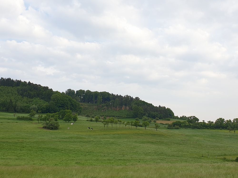
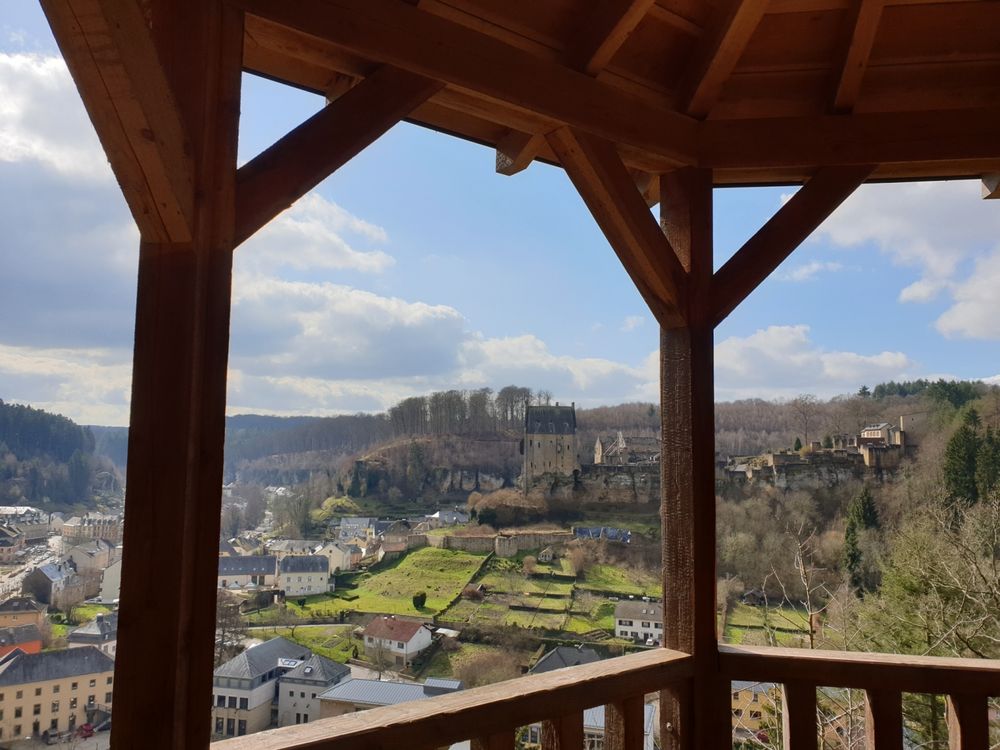
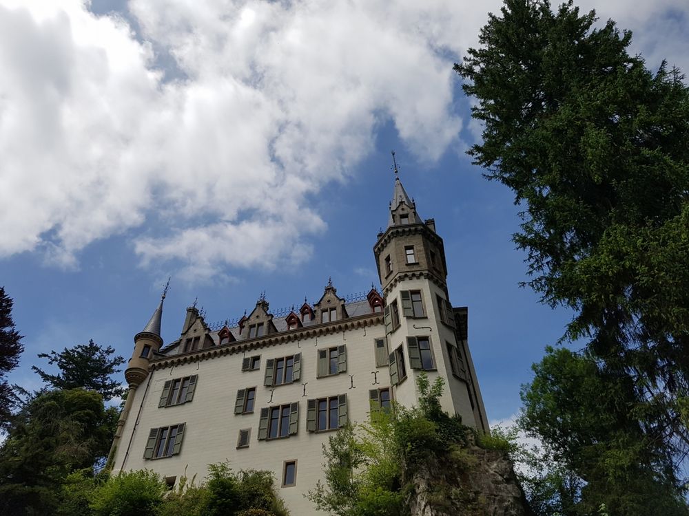
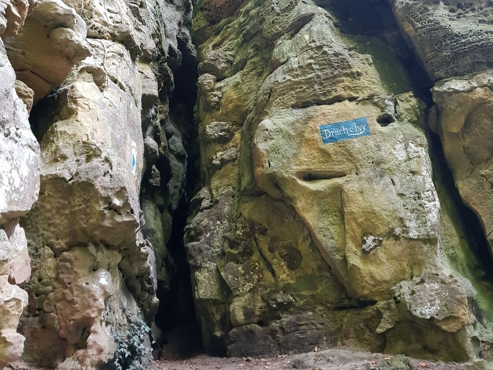
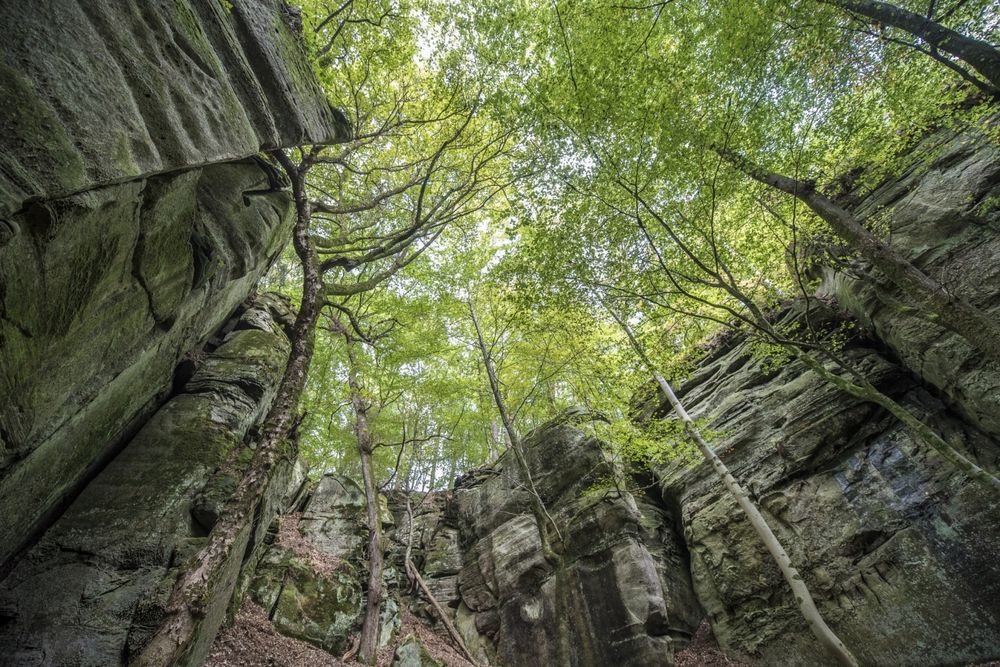
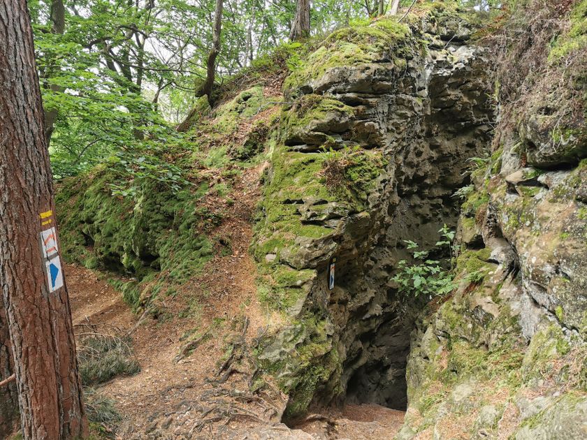
Hunting Season 2025/26 — Check for hunts

Autumn is here, and that means hunting season has begun! From mid-October to January/February, hunters are active across the country. Stay safe by checking hunt dates in your area on our Map. 

Click on Map in the Header > Services > More > Hunting.

Starting point

Medernach: Town Hall

Destination

Medernach: Town Hall

Distance
22,75 km
Duration
6:50 h
Difficulty
medium
  • Condition
Highest point
425 Hm
Lowest point
256 Hm
Aggregated Ascent
493 Hm
Aggregated Descent
493 Hm
Mullerthal Trail - Leading Quality Trails - Best of Europe Visit Luxembourg

Description

Scenic Refreshment stops available Dog-friendly

The Mullerthal Trail is complemented by four ExtraRoutes, which are also very attractive hiking trails. They are ideal for getting to know the region or as additional routes when the other three routes have already been hiked.

ExtraRoute A connects to the Mullerthal Trail to the west and links the villages of Larochette, Nommern, and Medernach. The section from Medernach to Larochette runs directly on the Mullerthal Trail. Larochette is a well-known holiday and excursion destination due to its basin location between the rocks and the castle ruins perched on the rocks. From Larochette, the path goes through the forest to Meysemburg Castle. From there, the route leads across a beautiful meadow and pasture landscape towards Nommerlayen. These impressive rocks are very famous in the region. Sure-footedness and sturdy footwear are strongly recommended here. From Nommern, the hike goes through the Seitert forest area to Medernach, where it meets the Mullerthal Trail again. Both villages offer places to rest and eat.

Possible starting points: Larochette: Place Bleech / Nommern: Town Hall / Medernach: Town Hall
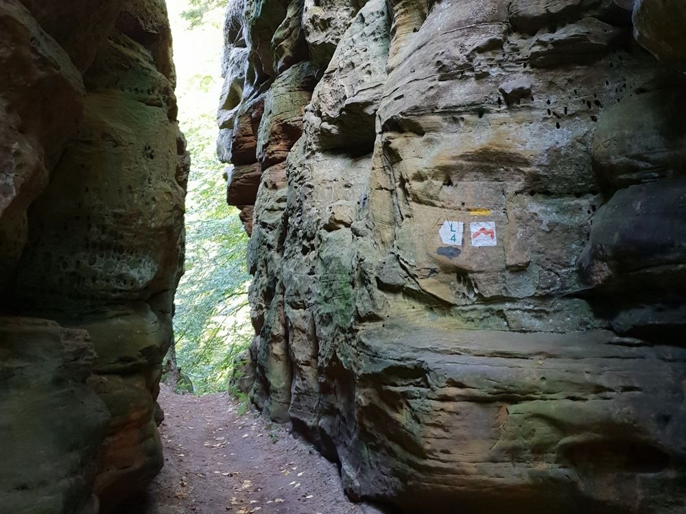
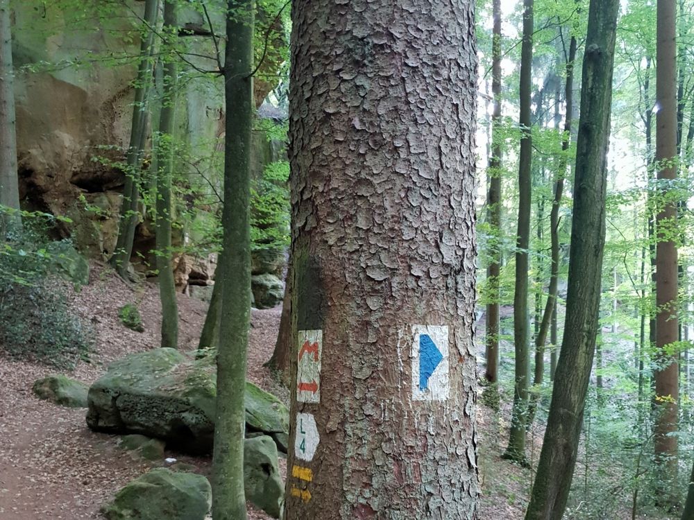
Suggestions nearby

Mullerthal Trail ExtraRoute A

  • ©Pancake! Photographie
    Tourist Info Larochette
    Tourist Info Larochette
    Find out more
  • ©Distillery Miny
    Distillery Miny
    Regional schnapps, liqueurs and gin wait for you at the Miny distillery.
    Find out more
  • ©ORT MPSL
    Rock formation "Noumerleeën"
    Discover a miniature image of the sandstone region of Luxembourg's Little Switzerland.
    Find out more

Similar hiking tours

©Visit Luxembourg
Circular routes
Auto-Pédestre route Lieler
Distance: 7,85 km
Duration: 2:15 h
Difficulty: medium
Find out more
©Visit Luxembourg
Circular routes
Auto-Pédestre trail Roder
Distance: 7,64 km
Duration: 2:30 h
Difficulty: medium
Find out more
©Visit Luxembourg
Circular routes
Auto-Pédestre trail Dahl
Distance: 9,05 km
Duration: 2:45 h
Difficulty: medium
Find out more
©Visit Luxembourg
Circular routes
Auto-Pédestre Baschleiden route
Distance: 8,55 km
Duration: 2:40 h
Difficulty: medium
Find out more
©Lynn Schüssler, Visit Luxembourg
Éislek Pied
Éislek Pad Heinerscheid
Distance: 15,84 km
Duration: 4:50 h
Difficulty: medium
Find out more
©Visit Luxembourg
Circular routes
Auto-Pédestre trail Consthum
Distance: 7,72 km
Duration: 2:15 h
Difficulty: medium
Find out more
©Visit Luxembourg
Circular routes
Circuit du Lac (eastern part)
Distance: 16,79 km
Duration: 5:30 h
Difficulty: medium
Find out more
©Visit Luxembourg
Circular routes
Auto-Pédestre trail Rambrouch
Distance: 10,88 km
Duration: 2:55 h
Difficulty: medium
Find out more
©Visit Luxembourg
Circular routes
Auto-Pédestre trail Berlé
Distance: 8,42 km
Duration: 2:25 h
Difficulty: medium
Find out more
outdooractive This website uses technology and content from the Outdooractive Platform.