Description
The variety of themed routes not only shows you the beautiful natural landscapes of the region but also provides information on a wide range of topics.
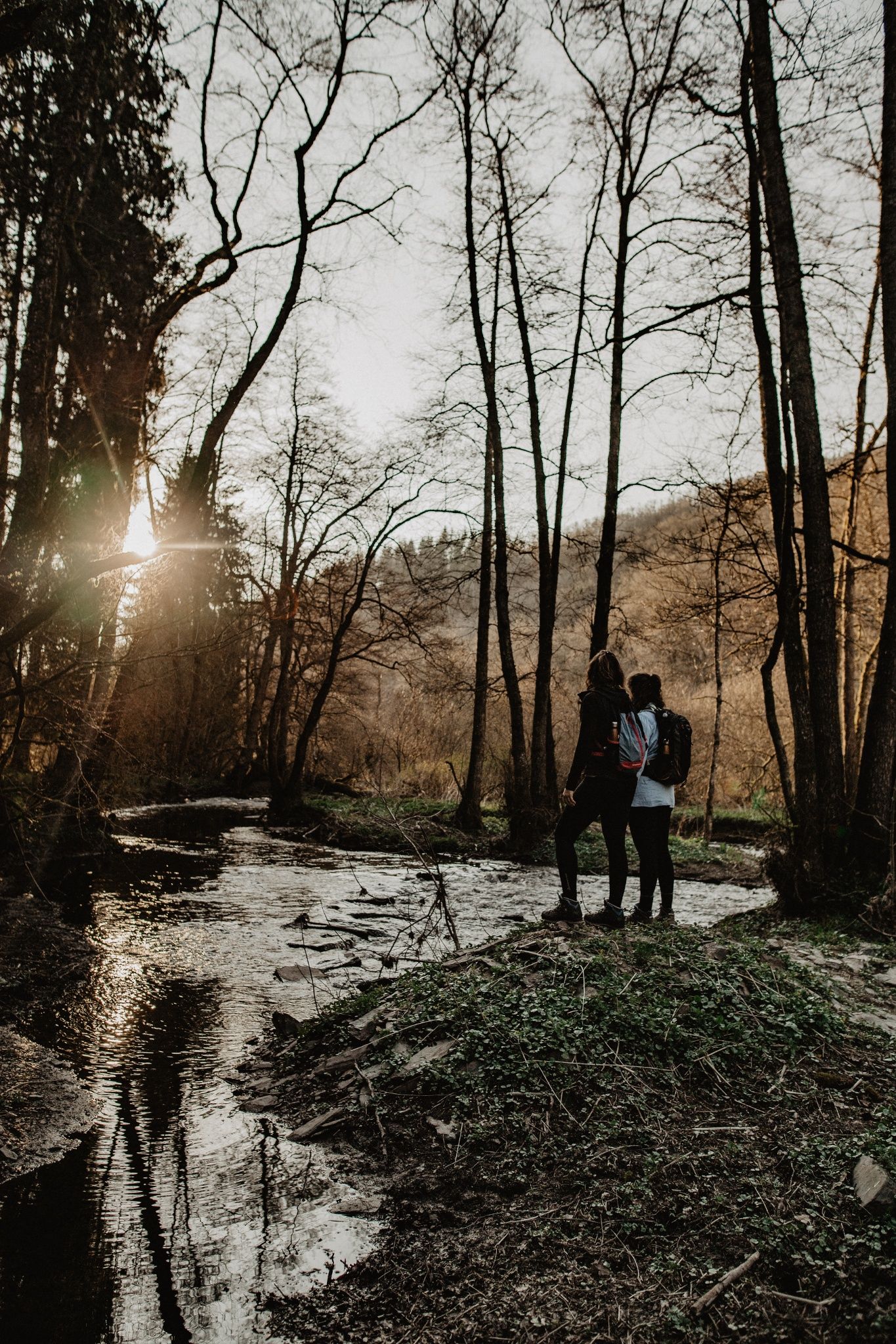
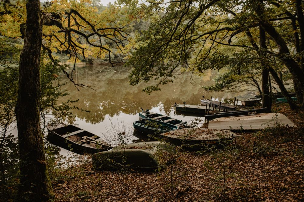
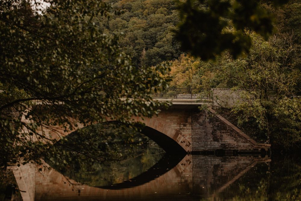
This circular route shows how the use of natural resources (water, wood, slate) has influenced the landscape and nature of the Upper Sauer over the past centuries.
The aspect of nature conservation and extensive use is also explained. The circular route runs along the Sauer through forests and wet valley grounds, which form habitats for a diverse, partly rare, flora and fauna. With some luck, a few wild birds can be observed in their natural environment. Furthermore, the circular route offers some spectacular views.
Signposting

Directions
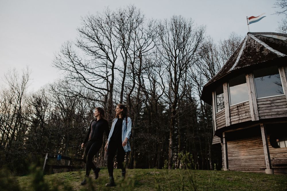
Moderate hike. Good basic fitness required. Easily walkable paths. No special skills required.
For your safety
Weather conditions such as wetness, ice, and wind can make a route more difficult. The information refers to optimal conditions.
Equipment
Sturdy footwear and something to drink.
Journey
A parking lot is located directly at the starting point.


 This website uses technology and content from the Outdooractive Platform.