Description
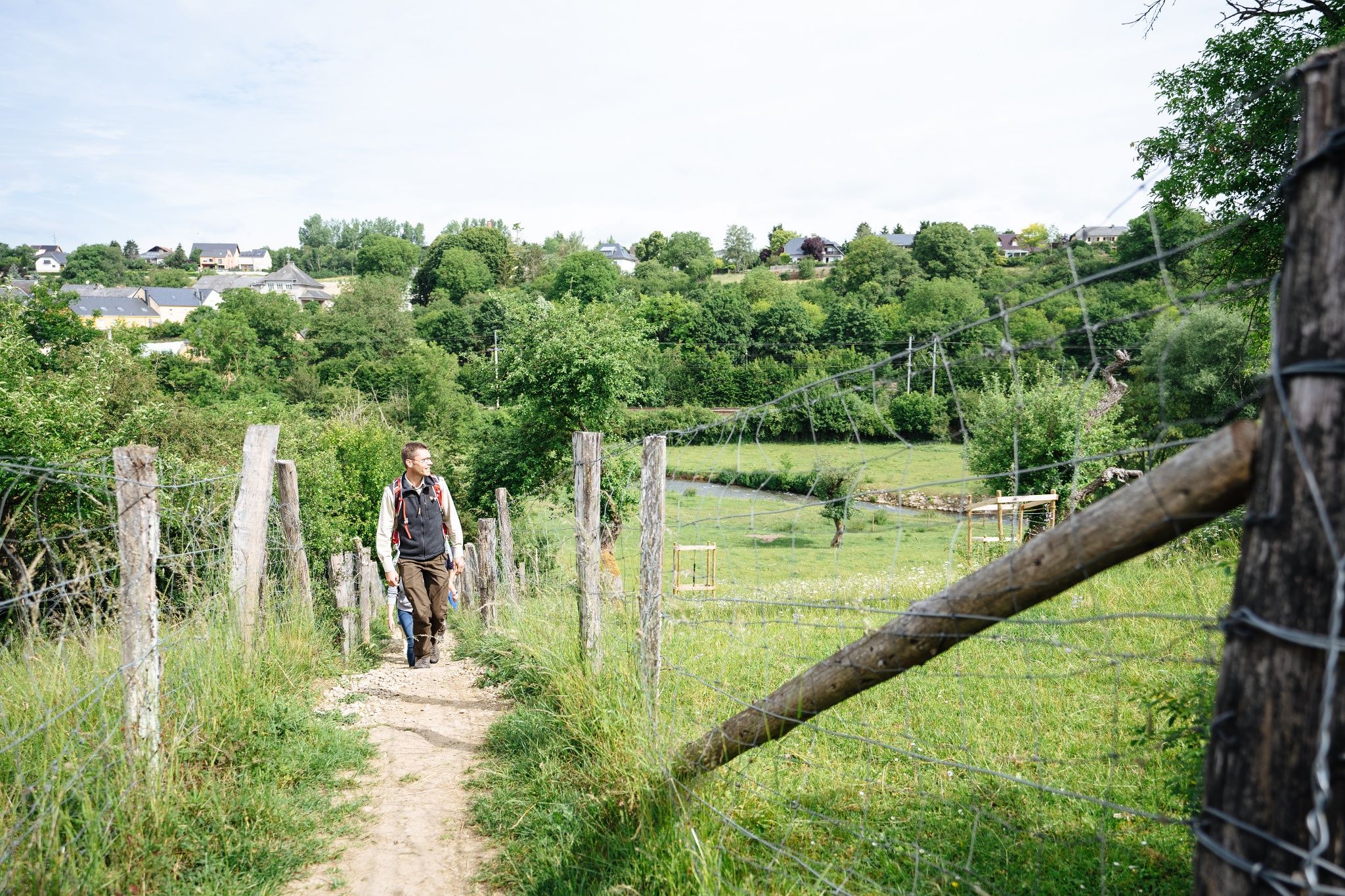
After a short distance, you enter the Manternacher Fiels nature forest reserve before reaching Lellig via the plateau.
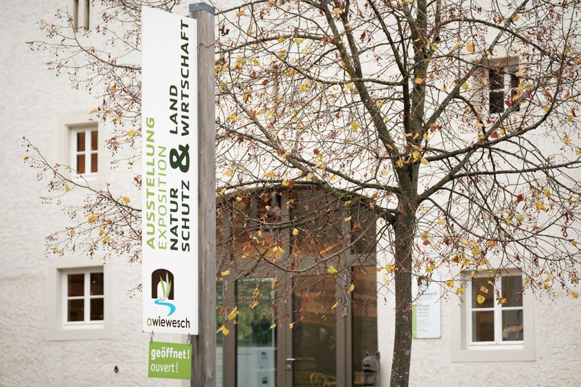
The A Wiewesch nature conservation center in the heart of the village of Manternach is both the starting and ending point of the 7 km long educational trail ANF No. 2 Manternach-Lellig. The center illustrates the theme "Nature Conservation & Agriculture" with vivid examples. Admission is free.
The hiking trail leads you through the cultural landscape shaped by agricultural activities. Among other things, grazing projects are introduced, which optimally combine ecology and economy due to extensive land use. After a short distance, you enter the Manternacher Fiels nature forest reserve before reaching Lellig via the plateau. Additionally, the path runs along various streams and orchards on the way back to Manternach.
Journey
Train to Manternach
Parking:
Parking at the station in Manternach


 This website uses technology and content from the Outdooractive Platform.