© Visit Luxembourg
Mosel Germany France

Manternach C

Hunting Season 2025/26 — Check for hunts

Autumn is here, and that means hunting season has begun! From mid-October to January/February, hunters are active across the country. Stay safe by checking hunt dates in your area on our Map. 

Click on Map in the Header > Services > More > Hunting.

Starting point

Train station Manternach

Destination

Train station Manternach

Distance
10,38 km
Duration
3:05 h
Difficulty
medium
  • Condition
Highest point
298 Hm
Lowest point
174 Hm
Aggregated Ascent
273 Hm
Aggregated Descent
273 Hm
Circular routes Visit Luxembourg

Description

Manternach C

Currently the local trail Manternach C is partly not accessible.

A diversion has been installed.

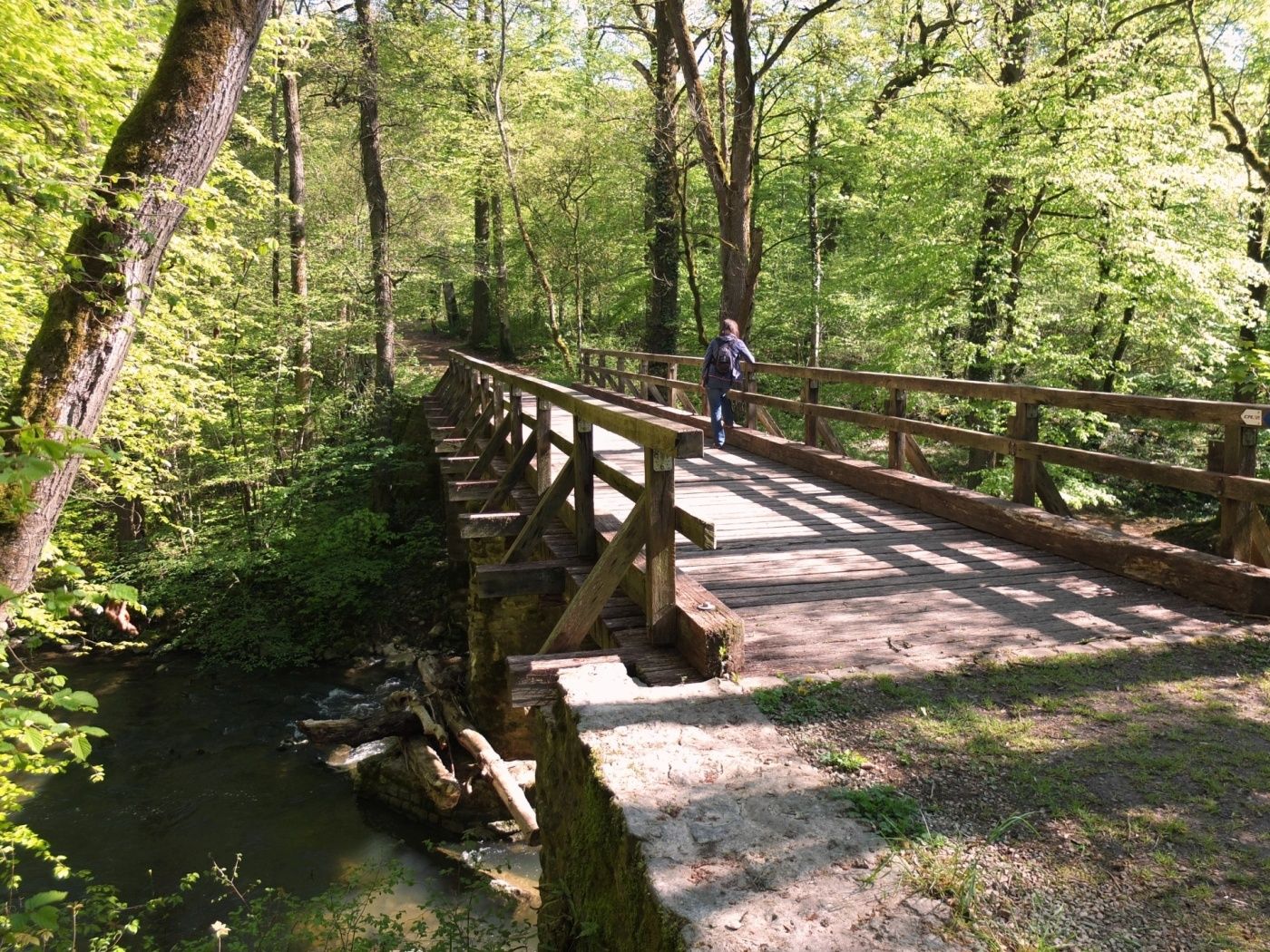
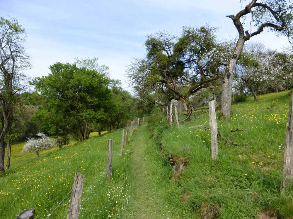
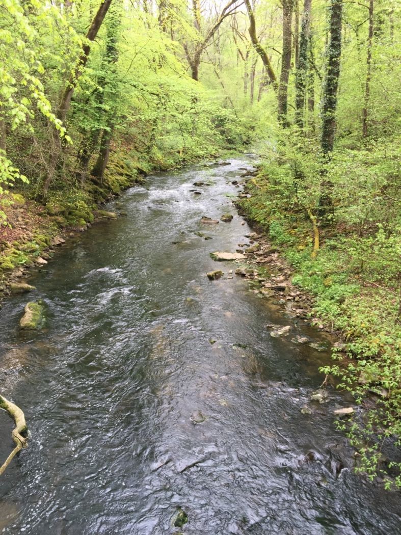
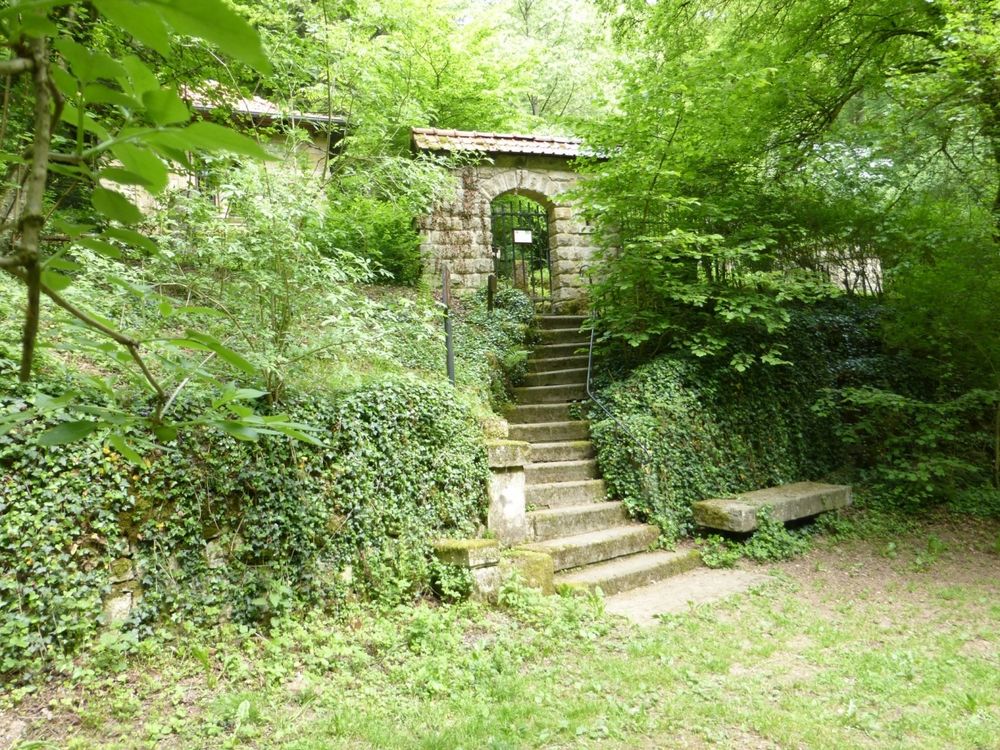
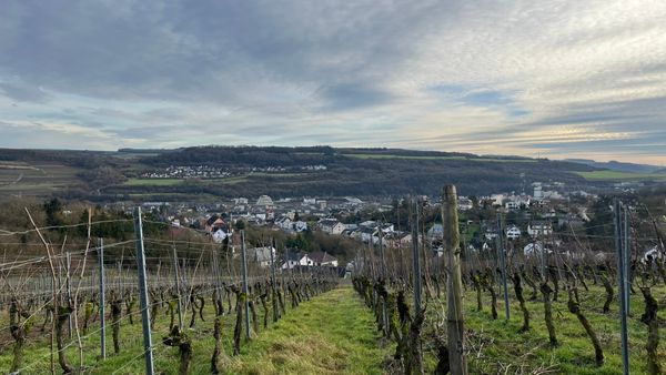
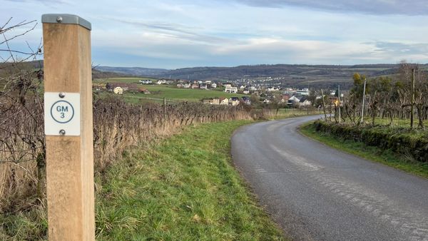
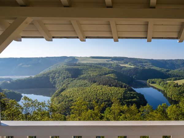
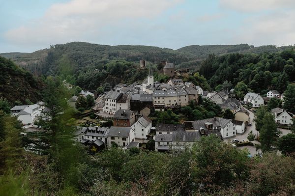
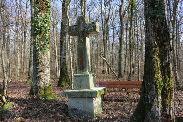
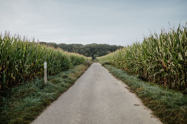
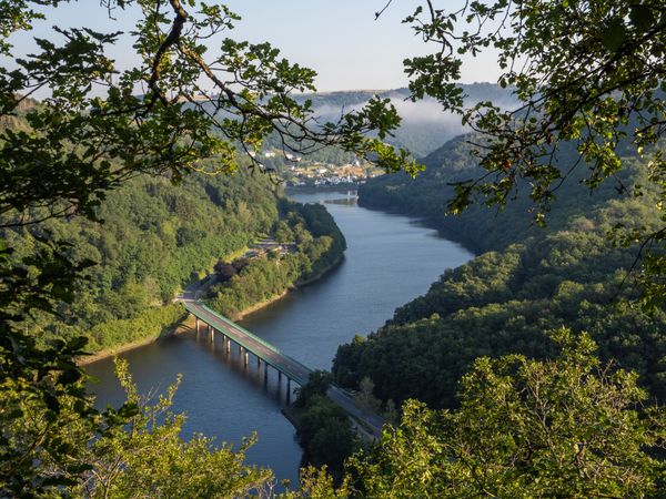
Extensive hike through the nature reserve Manternacher Fiels. Along the Syr river, over open fields and through forests, you hike through varied surroundings. The tour can be a bit more challenging sometimes, but therefore the setting is even more varied. Behind the Syr bridge, you have to climb the path for some time before you can go down a few stairs to the "Sentier Pierre Moes". Passing the newly planted vineyards, you have to climb 98 steps before you have the choice to go downhill to the Schlammbach or to pass the Lelliger Plateau to Lellig and Manternach, where you will find information boards about the former agricultural activities.

Current conditions

Source: Visit Luxembourg, Published: 2024-11-28
Blocking Trail Manternach C
Closure: Currently, the hiking trail Manternach is closed temporary. For your own safety, we ask for your attention and thank you for your understanding!

Suggestions nearby

Manternach C

  • © Pancake! Photographie
    Nature reserve "Manternacher Fiels" - A Wiewesch
    Nature reserve "Manternacher Fiels" - A Wiewesch
    Find out more

Similar hiking tours

© Visit Luxembourg
Circular routes
Auto-Pédestre trail Lieler
Distance: 7,85 km
Duration: 2:15 h
Difficulty: medium
Find out more
© Visit Luxembourg
Circular routes
Auto-Pédestre trail Roder
Distance: 7,64 km
Duration: 2:30 h
Difficulty: medium
Find out more
© Visit Luxembourg
Circular routes
Auto-Pédestre trail Dahl
Distance: 9,05 km
Duration: 2:45 h
Difficulty: medium
Find out more
© Visit Luxembourg
Circular routes
Auto-Pédestre trail Baschleiden
Distance: 8,55 km
Duration: 2:40 h
Difficulty: medium
Find out more
© Lynn Schüssler, Visit Luxembourg
Éislek Pied
Éislek Pad Heinerscheid
Distance: 15,84 km
Duration: 4:50 h
Difficulty: medium
Find out more
© Visit Luxembourg
Circular routes
Auto-Pédestre trail Consthum
Distance: 7,72 km
Duration: 2:15 h
Difficulty: medium
Find out more
© Visit Luxembourg
Circular routes
Auto-Pédestre trail Gralingen
Distance: 9,47 km
Duration: 2:50 h
Difficulty: medium
Find out more
© Visit Luxembourg
Circular routes
Circuit du Lac (eastern part)
Distance: 16,79 km
Duration: 5:30 h
Difficulty: medium
Find out more
© Visit Luxembourg
Circular routes
Auto-Pédestre trail Binsfeld
Distance: 8,68 km
Duration: 2:30 h
Difficulty: medium
Find out more
outdooractive This website uses technology and content from the Outdooractive Platform.