Circular routes Visit Luxembourg
Description
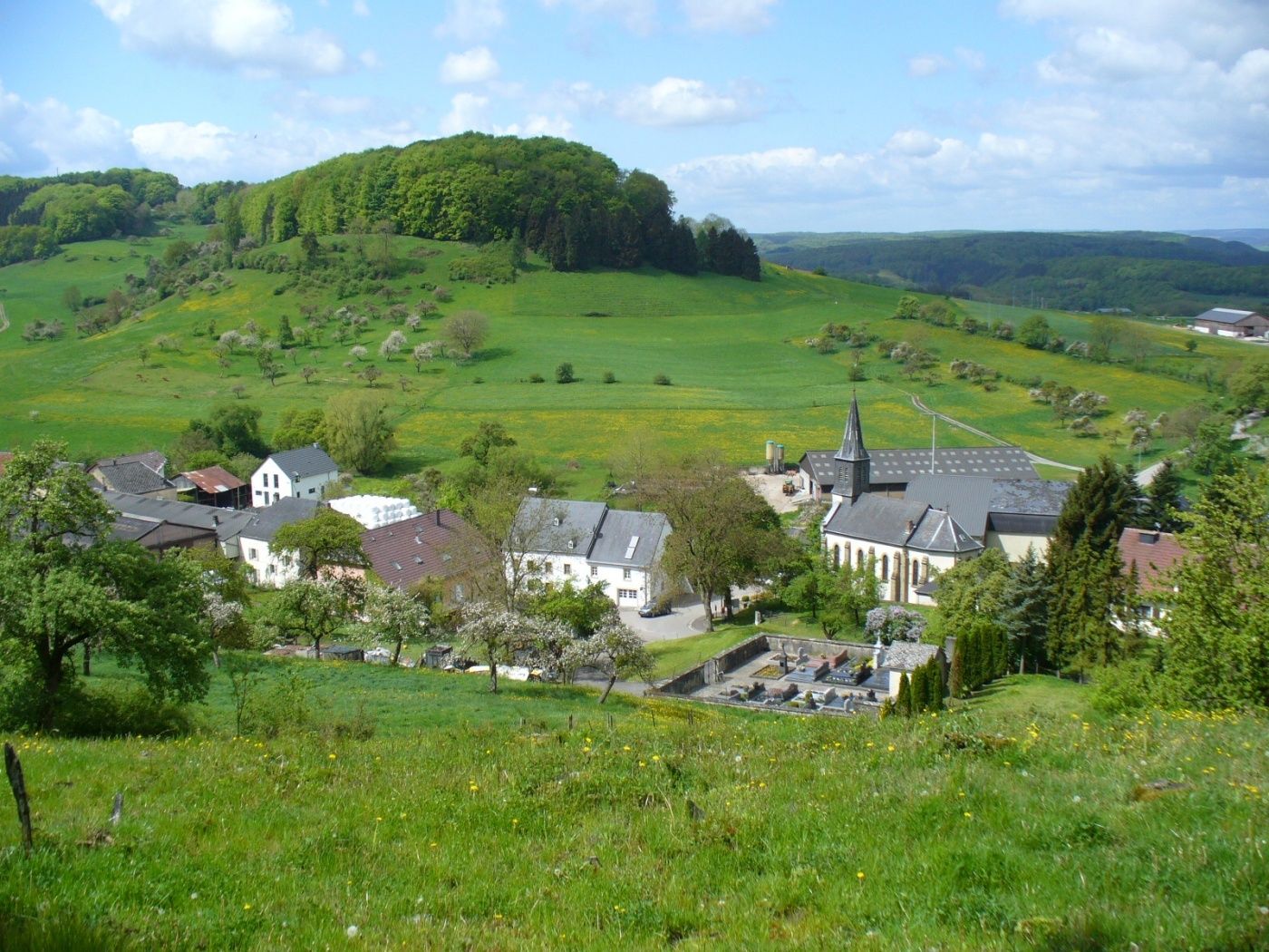
Very relaxing forest path on natural trails. Start and end point in the idyllic little village of Bigelbaach.
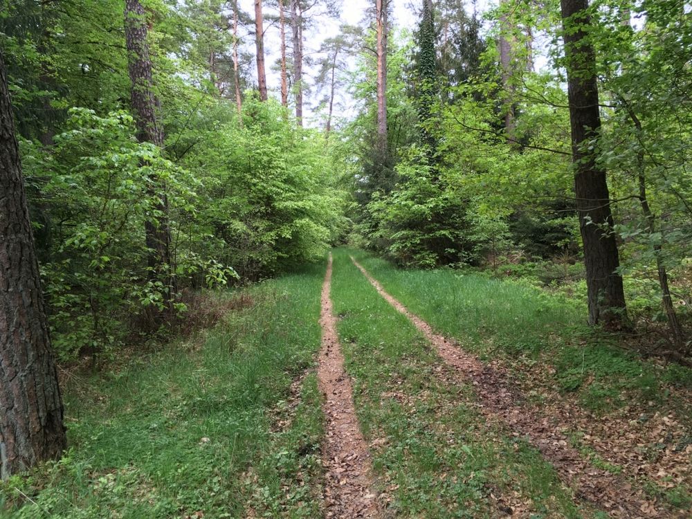
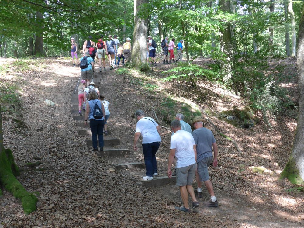
The beautiful hiking trail starts in Bigelbaach, a district of Reisdorf located on a hill. After an initial ascent, it leads into the forest and winds through large loops. Only shortly before the end of the circular route does it exit the forest again with a beautiful view of Bigelbaach, where you can relax wonderfully at a rest area. Since the path runs almost entirely through the forest, it is also suitable for particularly hot and sunny days.
Equipment
Sturdy footwear and something to drink.
Journey
Public transport:
Parking:
Nearest bus stop: Bigelbach, Kiirch (directly on site)
Parking:
Nearest parking: directly on site


 This website uses technology and content from the Outdooractive Platform.