© Visit Luxembourg
Müllerthal Germany France

Local hiking trail - L5

Starting point
Larochette: Tourist Info
Destination
Larochette: Tourist Info
Distance
6,61 km
Duration
2:00 h
Difficulty
medium
  • Condition
  • Technique
Highest point
384 Hm
Lowest point
267 Hm
Aggregated Ascent
154 Hm
Aggregated Descent
154 Hm
Circular routes Visit Luxembourg

Description

Kids & Family Scenic Refreshment stops available Dog-friendly
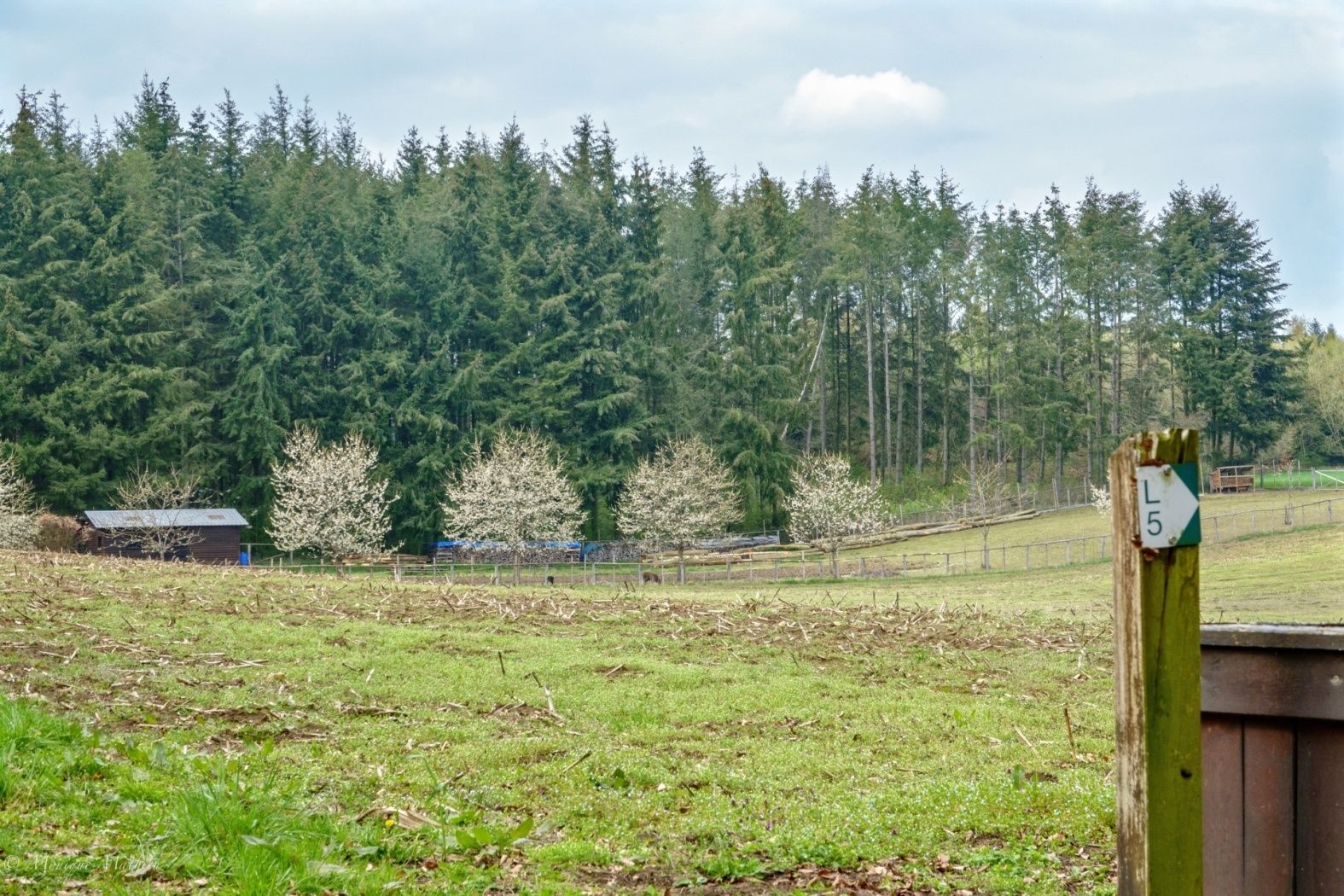
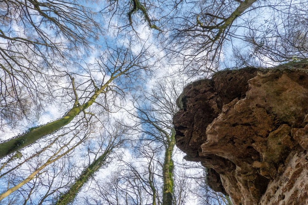
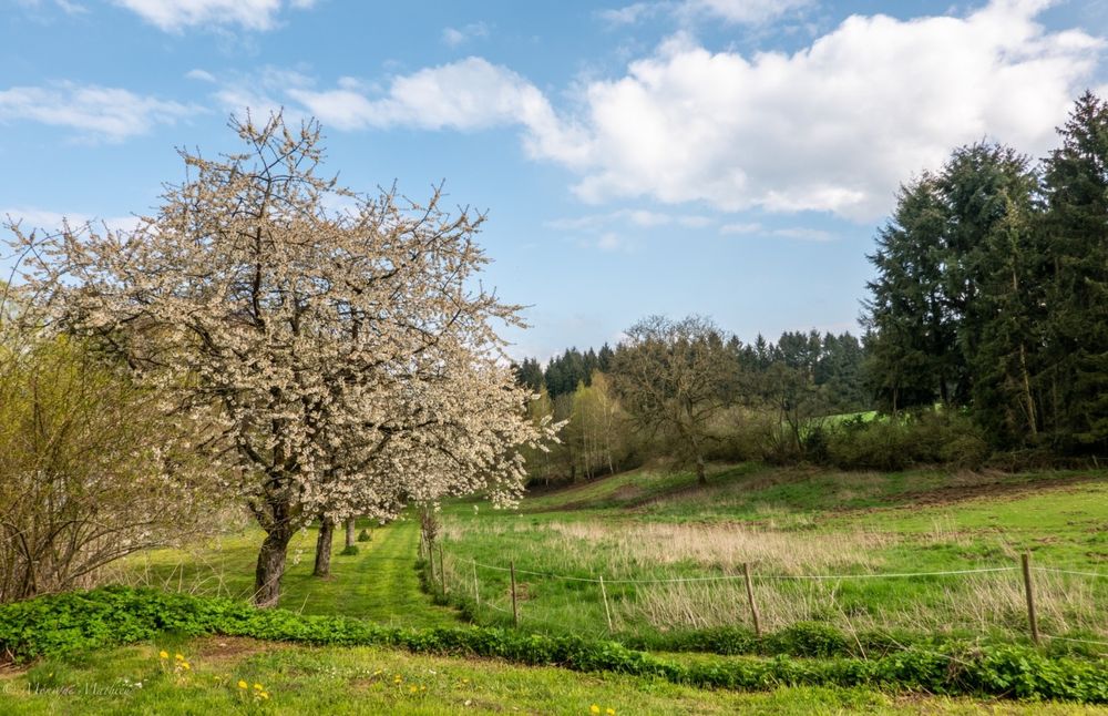
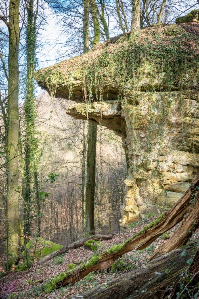
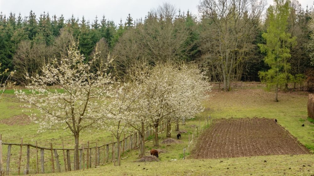
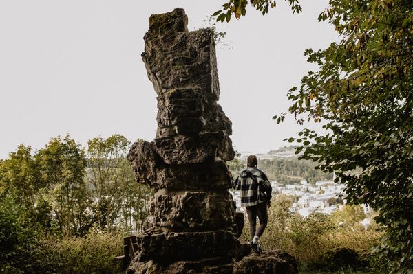
This local trail mainly leeds through the forest.

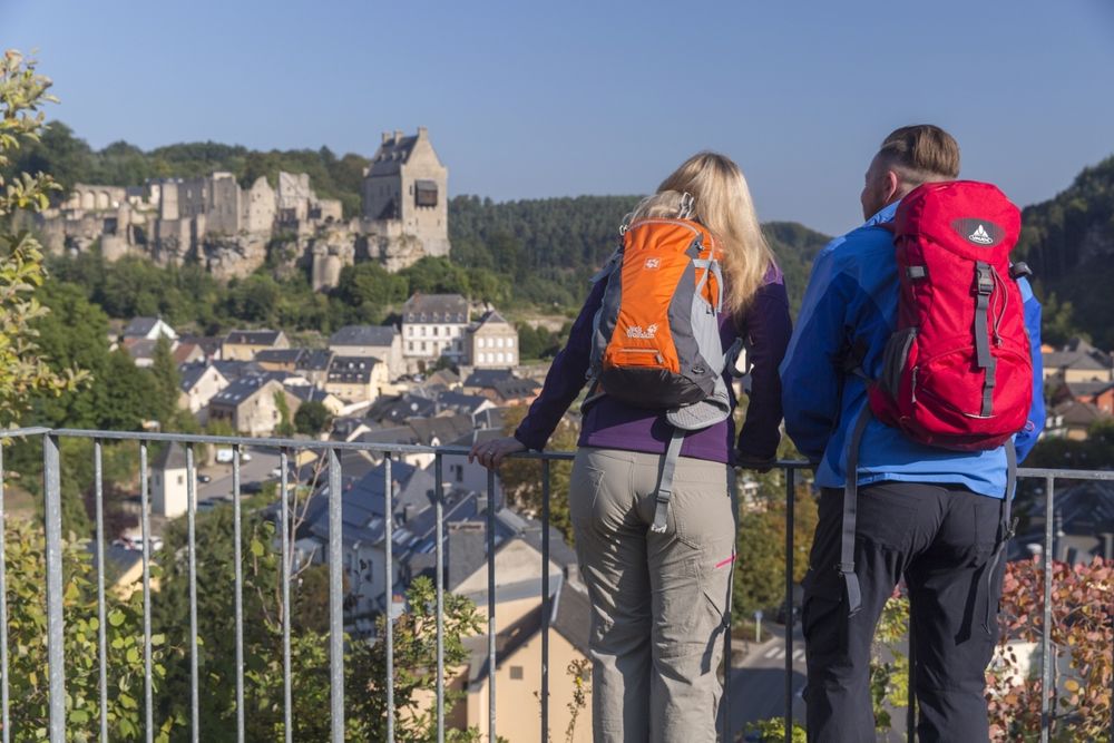
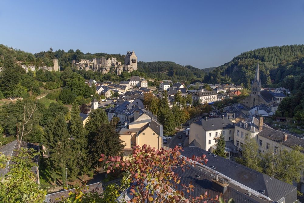
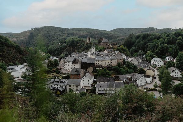
The village of Larochette is located in the valley of the White Ernz and has a lot to offer with its charming nature, tourist attractions and cosy pubs.

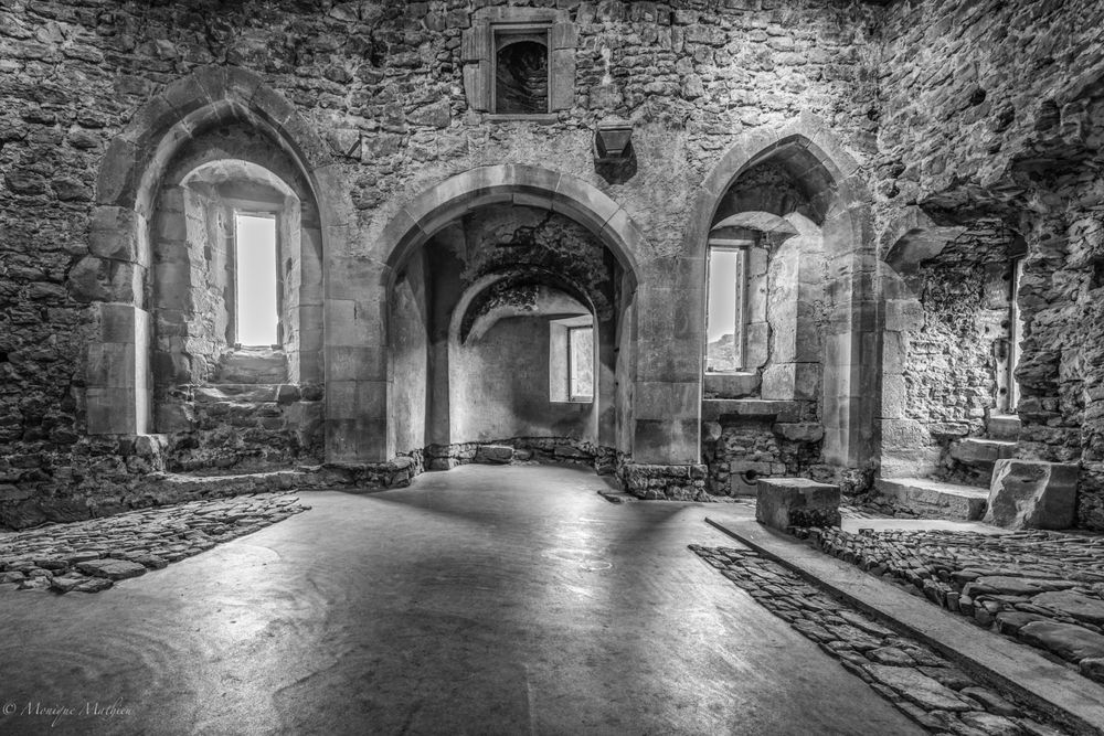
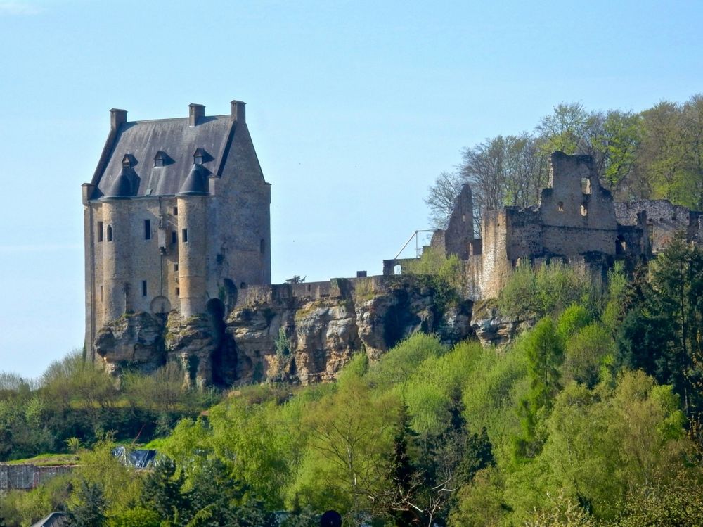
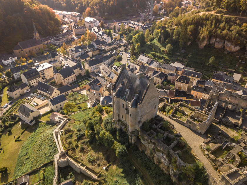
The main attraction of Larochette are the castle ruins goign back to the 11th century, which are located on a prominent mountain spur.

The hiking tour leads from the centre of Larochette to the castle and in the direction of Camping Kengert, where you have a stop for refreshments before hiking through the forest again and returning to Larochette.


Suggestions nearby

Local hiking trail - L5

  • © Camping Auf Kengert
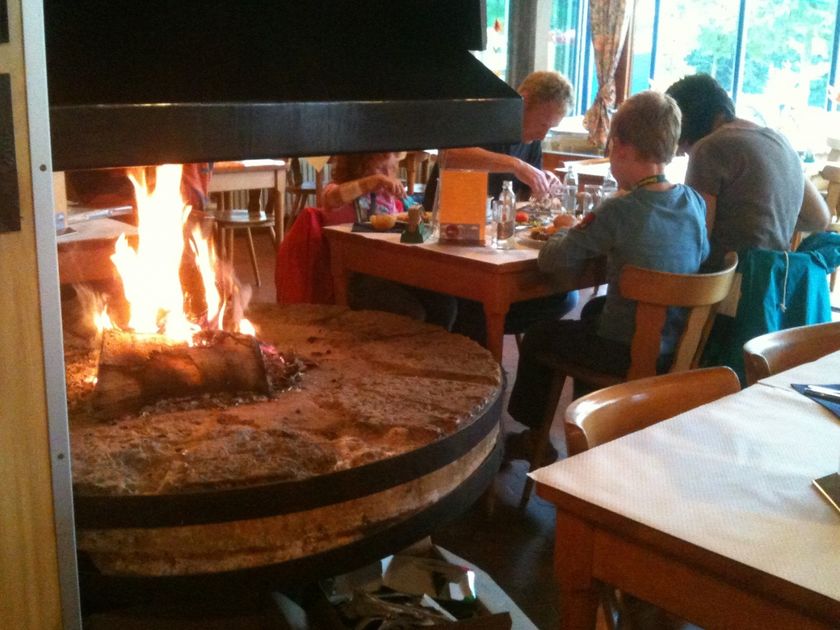
    Restaurant "Camping Auf Kengert"
    Restaurant "Camping Auf Kengert"
    Find out more
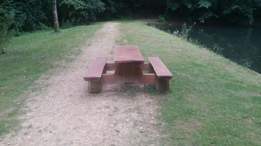
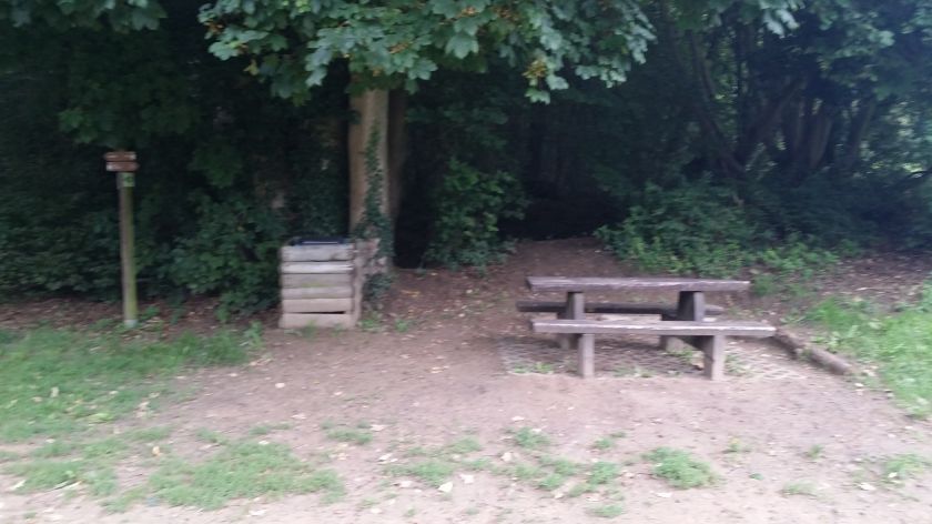
  • Picnic area Ousterbour Larochette
    Picnic area Ousterbour Larochette
    Find out more
  • © Youth hostel Larochette
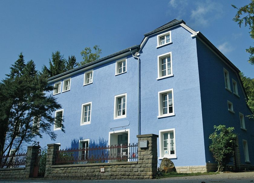
    Youth hostel Larochette
    Garden / ParkParkingSituated in the centre of townWifiRestaurantBicycle rental
  • © Rentabike Mëllerdall CIG
    free
    with theLuxembourgCard
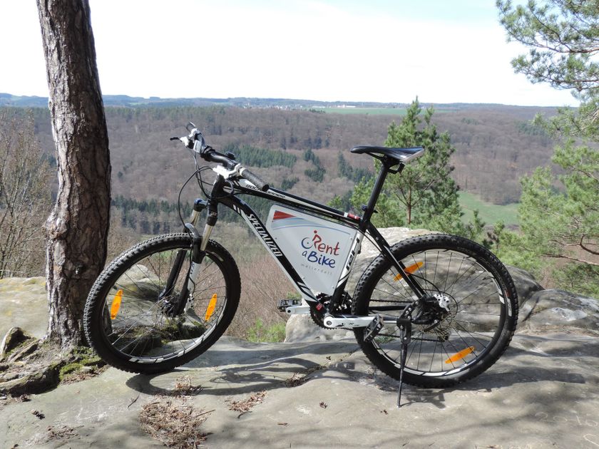
    Rentabike Mëllerdall Youth Hostel Larochette
    Rentabike Mëllerdall: available from 9 outlets
    Find out more
  • © Thibaud Bastien
    free
    with theLuxembourgCard
    Larochette Castle
    Immerse yourself in the medieval history of Larochette Castle.
    Find out more
  • Picnic area Castle Larochette
    Picnic area Castle Larochette
    Find out more
  • © Pierre Haas
    Tourist Info Aerenzdallgemeng
    Tourist Info Aerenzdallgemeng
    Find out more
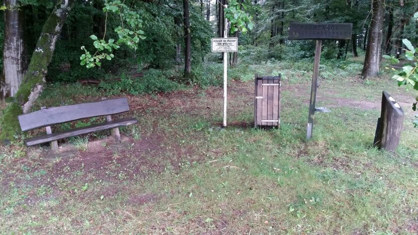
  • Picnic place Medernach Kengert
    Picnic place Medernach Kengert
    Find out more
  • © ORT MPSL
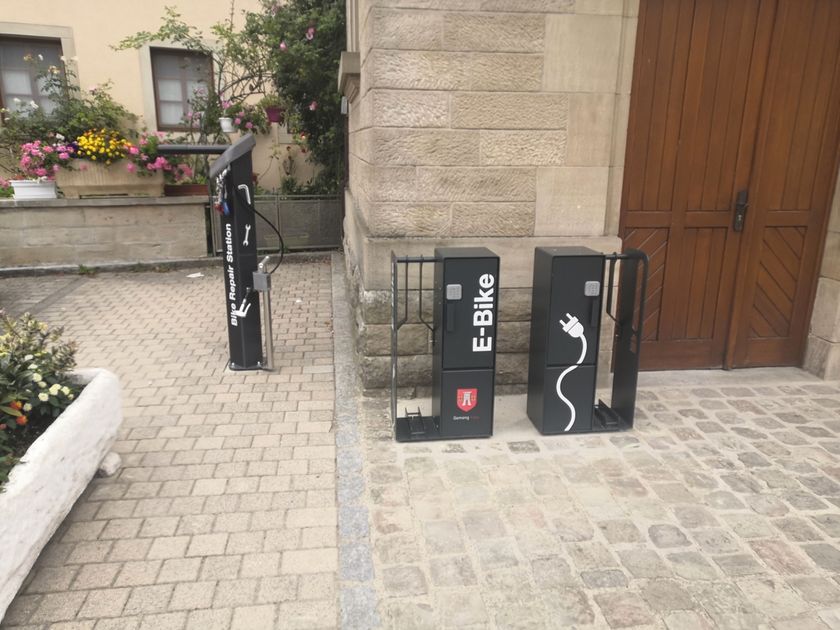
    E-Bike charging & service station Larochette
    Repair and charge your bike directly at the Tourist Information in Larochette.
    Find out more
  • © Pancake! Photographie
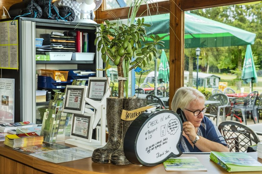
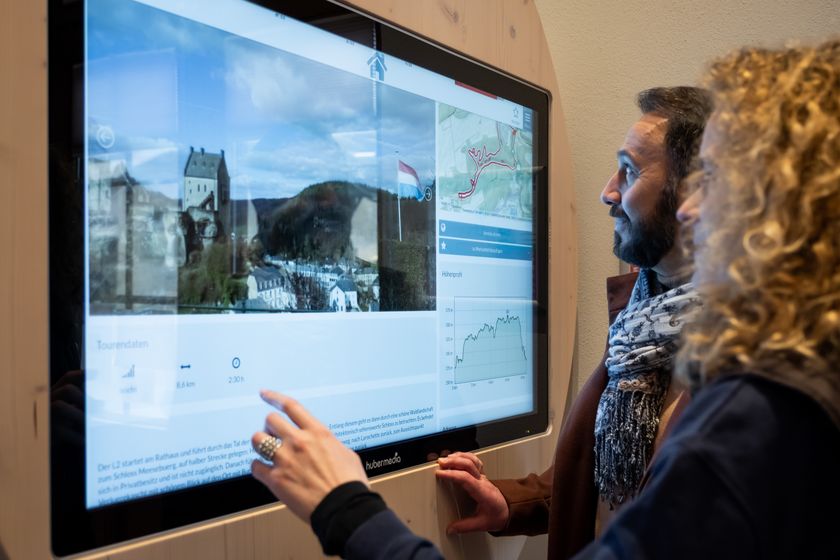
    Tourist Info Larochette
    Tourist Info Larochette
    Find out more

Similar hiking tours

© © Wanderbüro Saar-Hunsrück, Klaus-Peter Kappest, SaarSchleifenLand
Dream loops
"Traumschleife" Schengen without borders
Distance: 8,54 km
Duration: 3:30 h
Difficulty: medium
Find out more
© Visit Luxembourg
Distance trails
21 Station to station Bettembourg - Dudelange-Burange
Distance: 14,66 km
Duration: 3:45 h
Difficulty: medium
Find out more
© CFL, Visit Luxembourg
Distance trails
22 Station to Station Dudelange - Burange - Rumelange
Distance: 10,22 km
Duration: 3:05 h
Difficulty: medium
Find out more
© ORT Sud
Distance trails
23 Station to station Rumelange - Kayl
Distance: 12,57 km
Duration: 3:25 h
Difficulty: medium
Find out more
© Visit Luxembourg
Distance trails
25 Station to station Kayl - Schifflange - Esch-sur-Alzette
Distance: 21,71 km
Duration: 6:05 h
Difficulty: medium
Find out more
© Pulsa Pictures, ORT SUD
Distance trails
26 Station to station Esch-sur-Alzette - Belvaux-Soleuvre
Distance: 9,05 km
Duration: 2:30 h
Difficulty: medium
Find out more
© Visit Luxembourg
Distance trails
27 Station to station Belvaux-Soleuvre-Oberkorn
Distance: 5,20 km
Duration: 1:25 h
Difficulty: medium
Find out more
© ORT Sud
Distance trails
28 Station to station Oberkorn - Niederkorn
Distance: 8,69 km
Duration: 2:25 h
Difficulty: medium
Find out more
© ORT Sud
Distance trails
29 Station to station Niederkorn - Rodange
Distance: 10,12 km
Duration: 2:55 h
Difficulty: medium
Find out more