© ORTMPSL, ORTMPSL
Müllerthal Germany France

Local hiking trail - B4

Starting point
Beaufort: castles
Destination
Beaufort: castles
Distance
6,13 km
Duration
1:49 h
Difficulty
medium
  • Condition
  • Technique
Highest point
402 Hm
Lowest point
299 Hm
Aggregated Ascent
108 Hm
Aggregated Descent
108 Hm
Circular routes

Description

Refreshment stops available
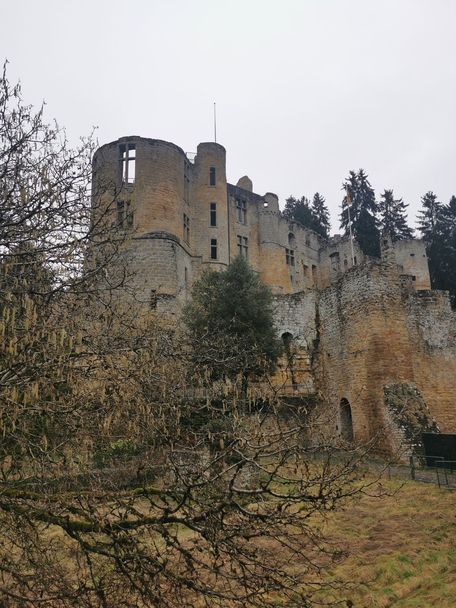
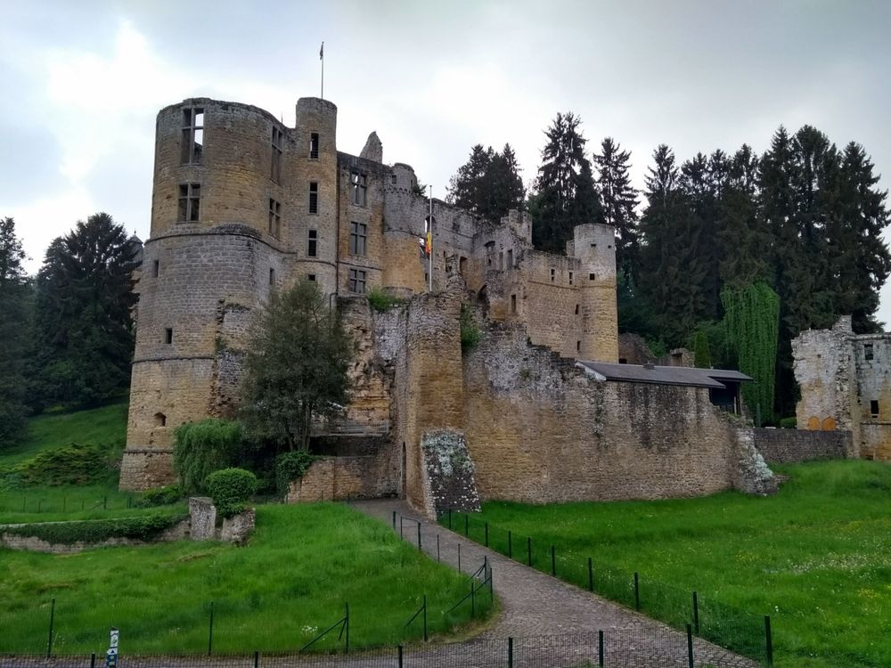
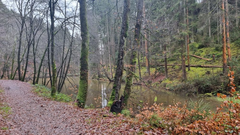
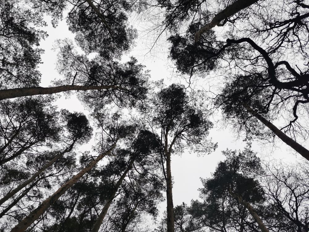
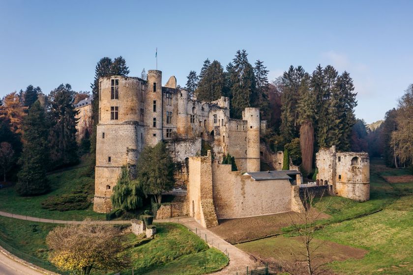
The hike starts at Beaufort Castles, goes along the Ale Wéier pond and offers historical sights.

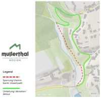
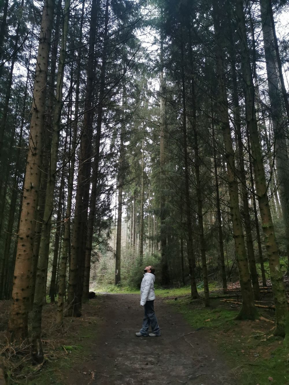
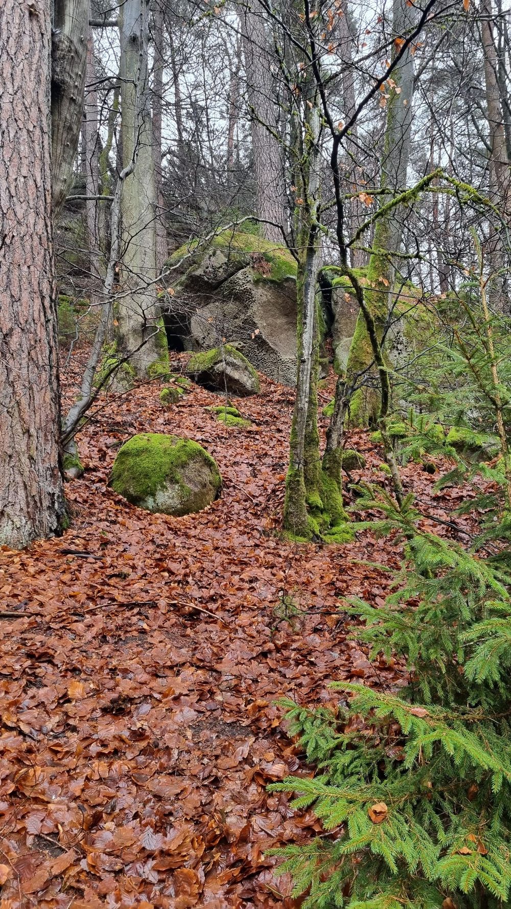
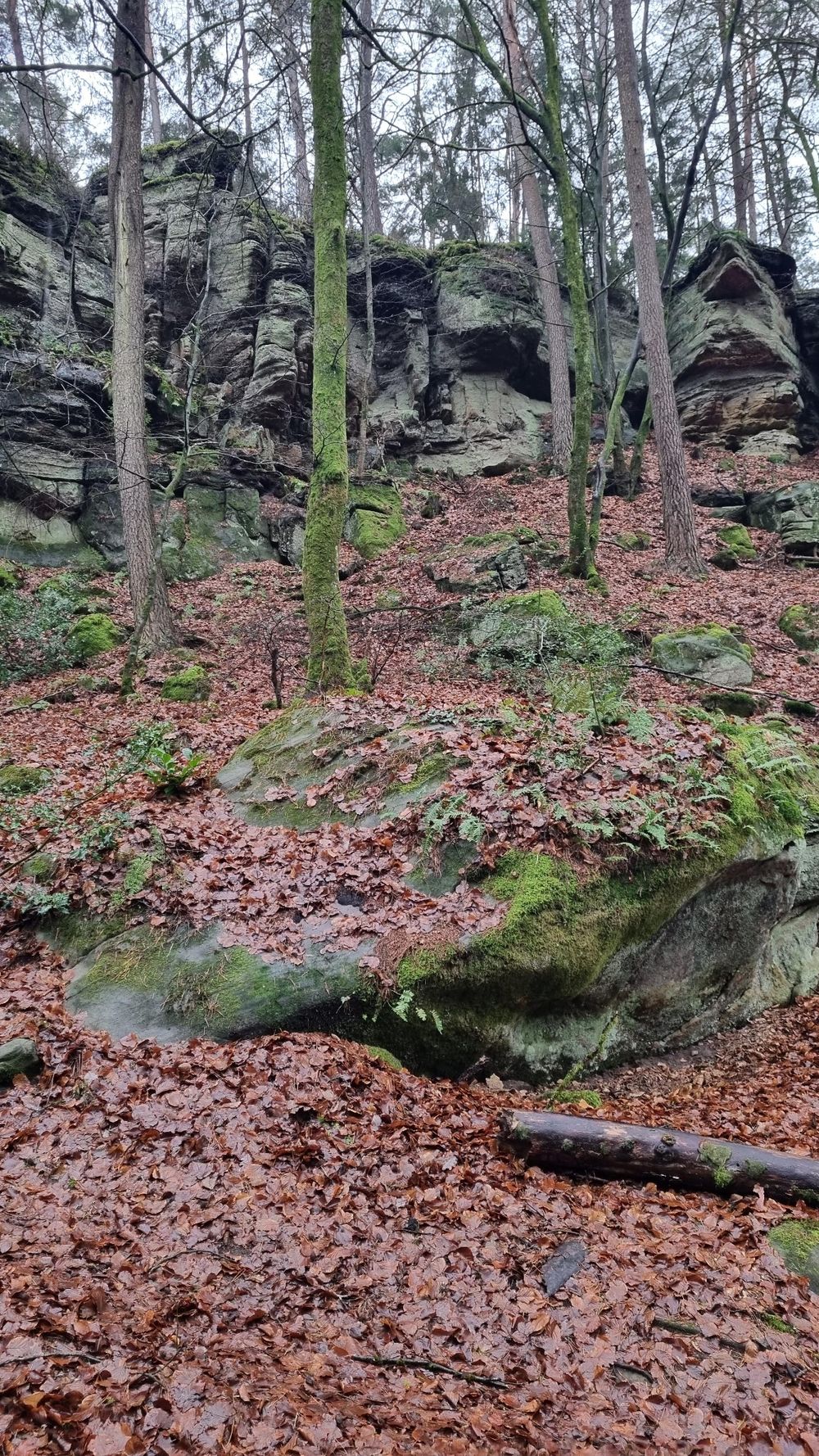
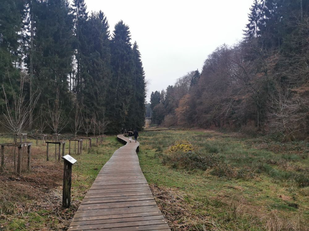
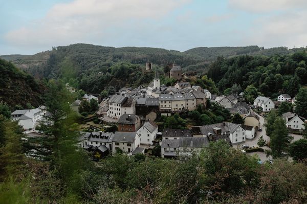
This hiking trail through the forest starts at rue du Château, leads along the tipi village of Camping Plage and further along the Alebuerg (remnants of old ramparts) and Maison Berens. The path then continues along Huschbaach, Aleweier and Klingelbur (old wash fountain of Beaufort castle). After that, the starting point is not too far away.


Suggestions nearby

Local hiking trail - B4

  • © Jos Nerancic
    free
    with theLuxembourgCard
    Beaufort Castles
    Immerse yourself in the history of the medieval castle and discover how the last occupant lived in the Renaissance castle.
    Find out more
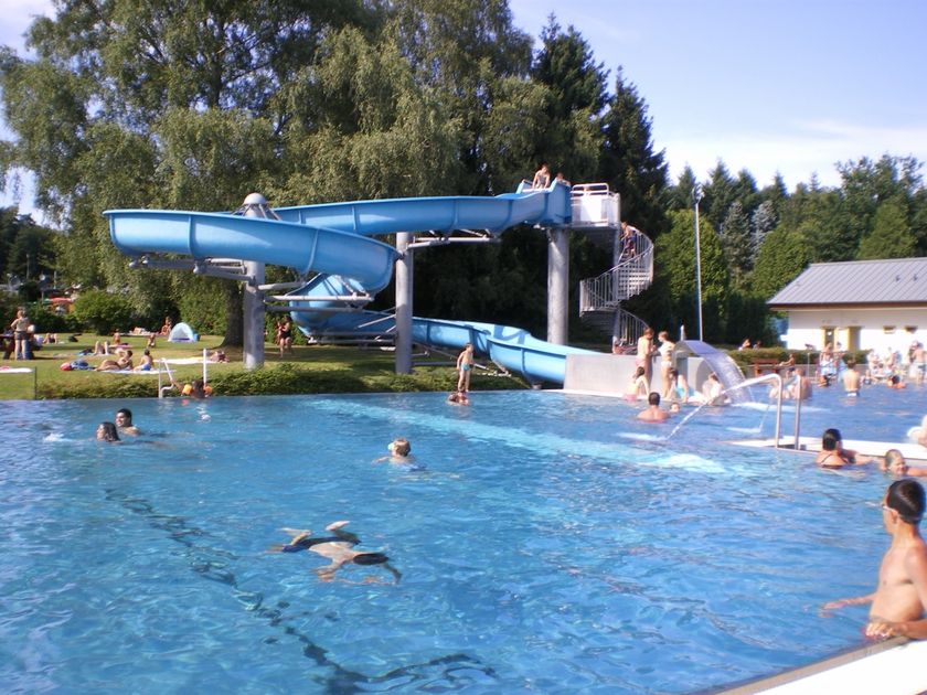
  • © Camping Park Beaufort
    Aqua Park Beaufort
    Aqua Park Beaufort
    Find out more
  • © Restaurant de l'Auberge Rustiqu
    Restaurant de l'Auberge Rustique
    Restaurant de l'Auberge Rustique
    Find out more
  • Parking - Castle of Beaufort
    Parking - Castle of Beaufort
    Find out more
  • © Kuijpers/Frameart
    Liqueur of the castle Beaufort
    Liqueur of the castle Beaufort
    Find out more
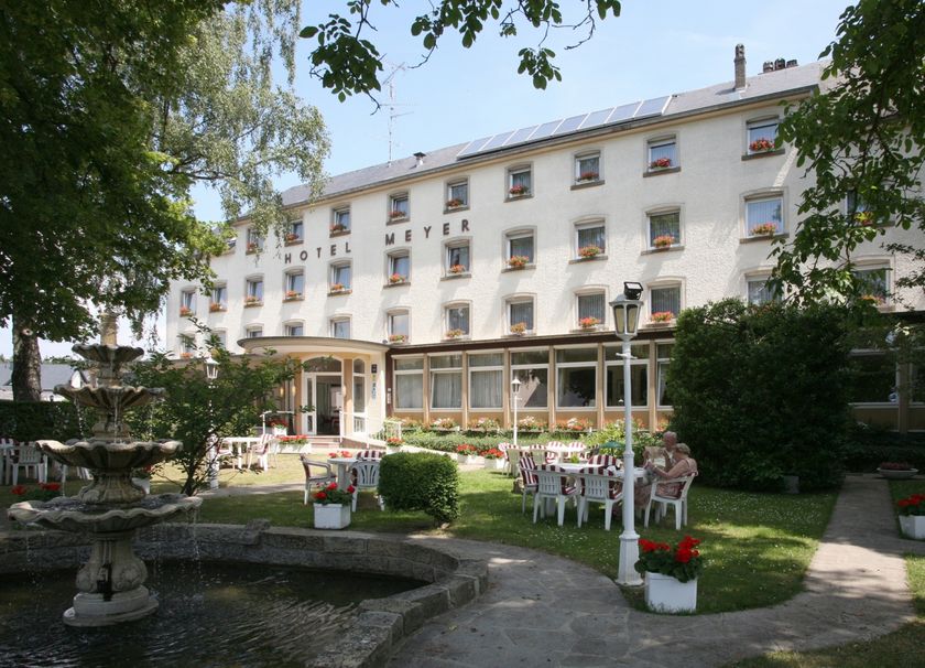
  • © Restaurant Hotel Meyer
    Restaurant Meyer
    Restaurant Meyer
    Find out more
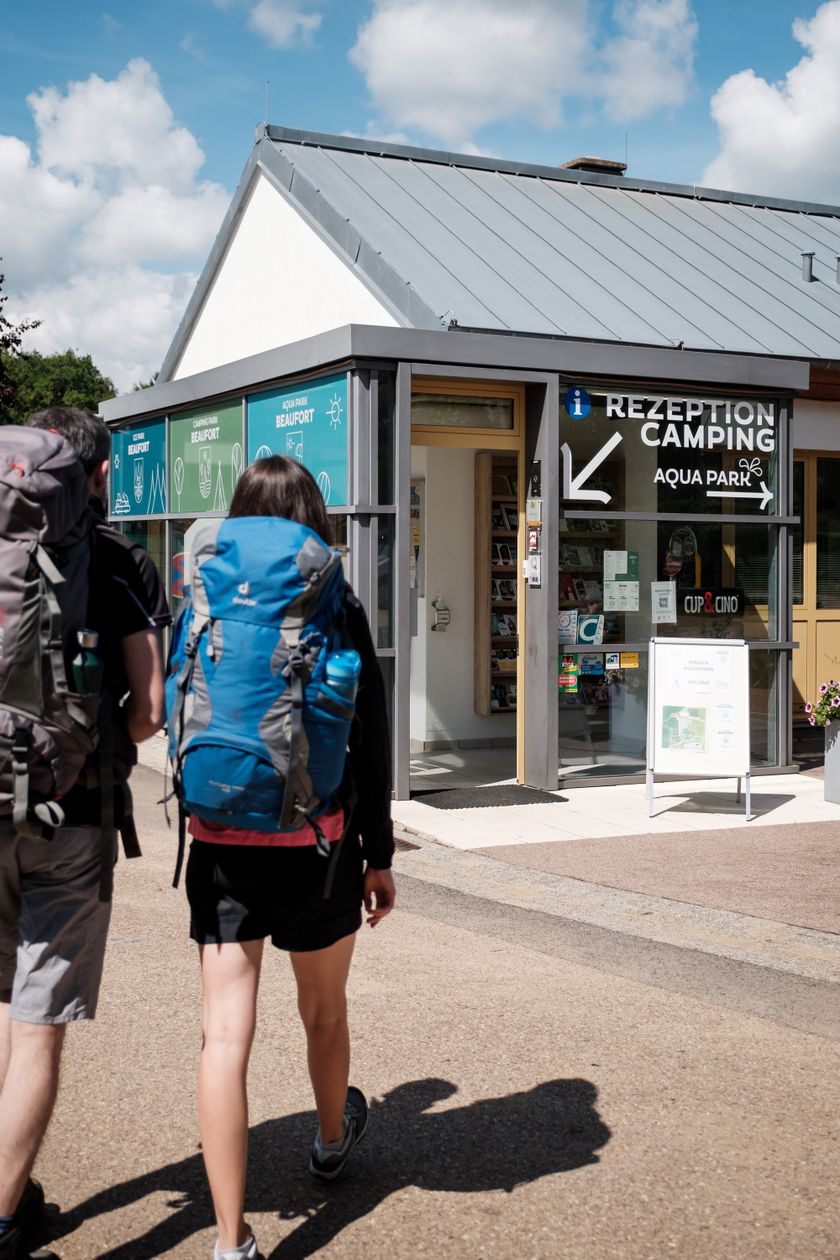
  • © Pancake! Photographie
    Tourist Info Beaufort
    Tourist Info Beaufort
    Find out more

Similar hiking tours

© © Wanderbüro Saar-Hunsrück, Klaus-Peter Kappest, SaarSchleifenLand
Dream loops
"Traumschleife" Schengen without borders
Distance: 8,54 km
Duration: 3:30 h
Difficulty: medium
Find out more
© Visit Luxembourg
Distance trails
21 Station to station Bettembourg - Dudelange-Burange
Distance: 14,66 km
Duration: 3:45 h
Difficulty: medium
Find out more
© CFL, Visit Luxembourg
Distance trails
22 Station to Station Dudelange - Burange - Rumelange
Distance: 10,22 km
Duration: 3:05 h
Difficulty: medium
Find out more
© ORT Sud
Distance trails
23 Station to station Rumelange - Kayl
Distance: 12,57 km
Duration: 3:25 h
Difficulty: medium
Find out more
© Visit Luxembourg
Distance trails
25 Station to station Kayl - Schifflange - Esch-sur-Alzette
Distance: 21,71 km
Duration: 6:05 h
Difficulty: medium
Find out more
© Pulsa Pictures, ORT SUD
Distance trails
26 Station to station Esch-sur-Alzette - Belvaux-Soleuvre
Distance: 9,05 km
Duration: 2:30 h
Difficulty: medium
Find out more
© Visit Luxembourg
Distance trails
27 Station to station Belvaux-Soleuvre-Oberkorn
Distance: 5,20 km
Duration: 1:25 h
Difficulty: medium
Find out more
© ORT Sud
Distance trails
28 Station to station Oberkorn - Niederkorn
Distance: 8,69 km
Duration: 2:25 h
Difficulty: medium
Find out more
© ORT Sud
Distance trails
29 Station to station Niederkorn - Rodange
Distance: 10,12 km
Duration: 2:55 h
Difficulty: medium
Find out more