Description
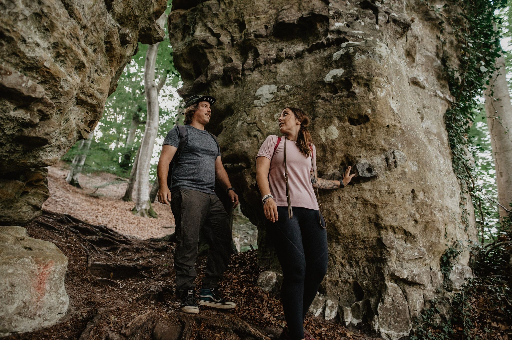
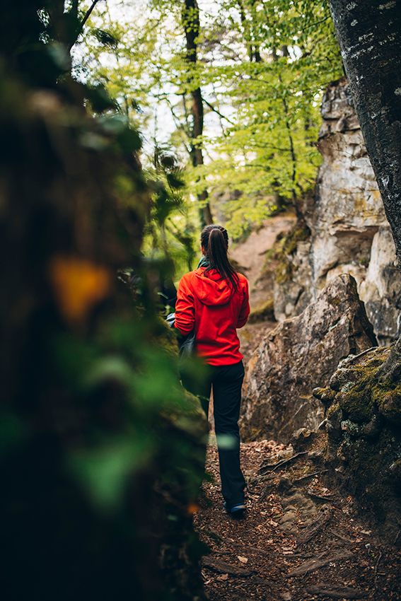
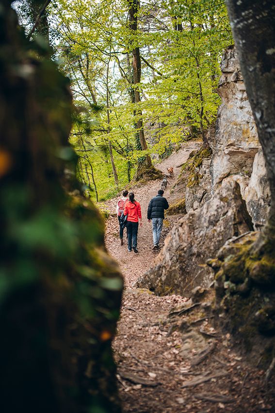
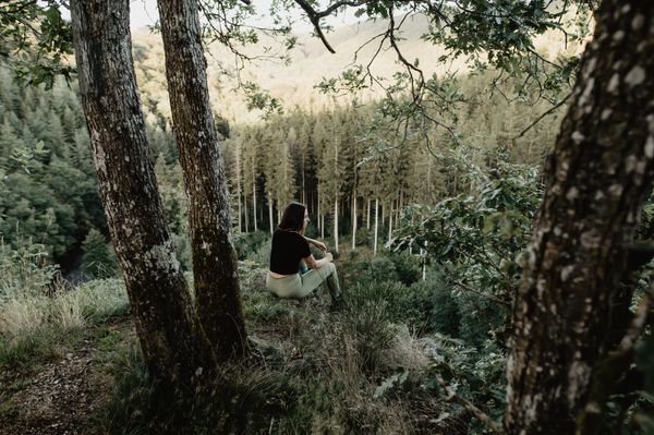
In the forest between Mersch and Schoenfels, impressive rock and cave formations hide, which make the hearts of every nature lover beat faster.
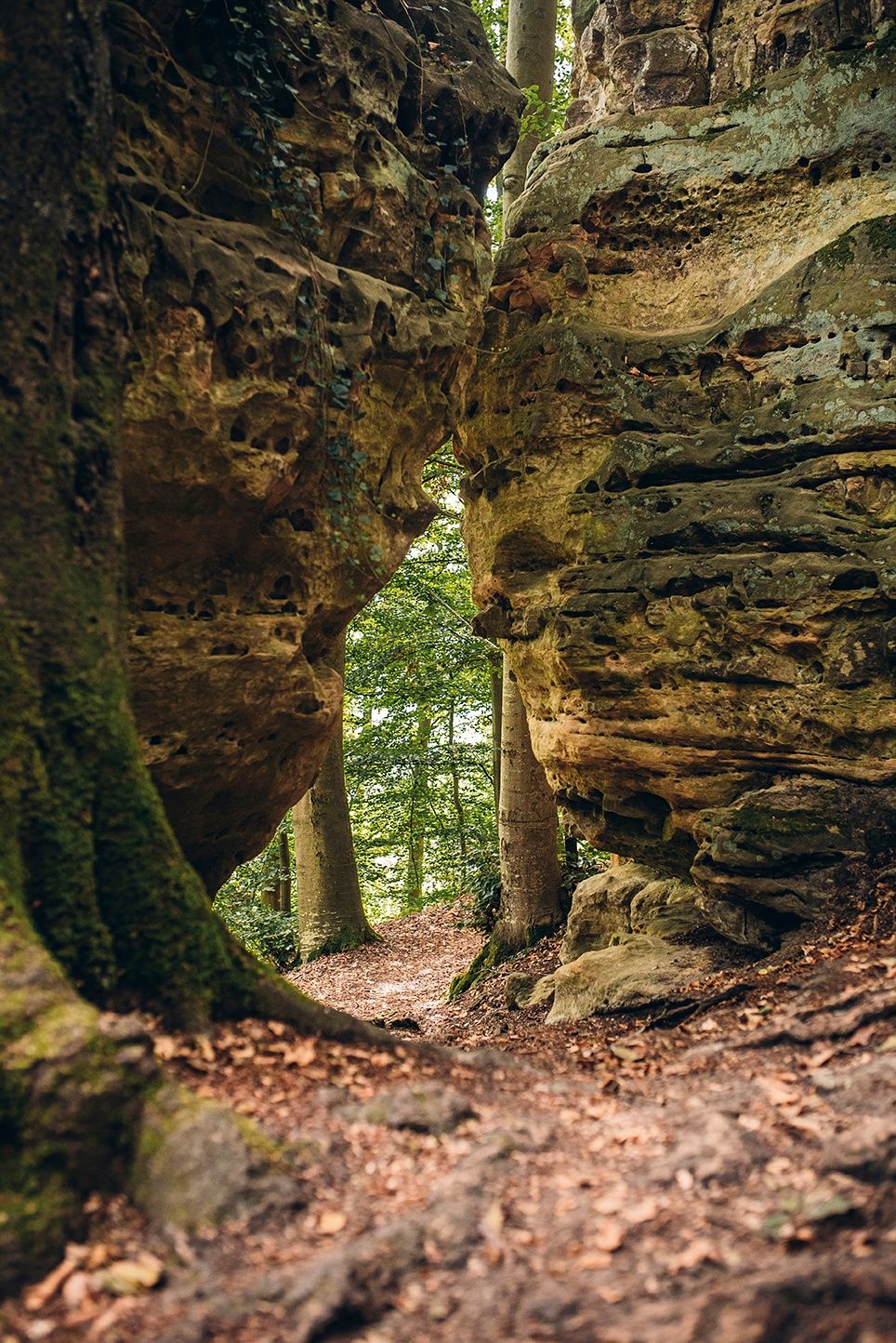
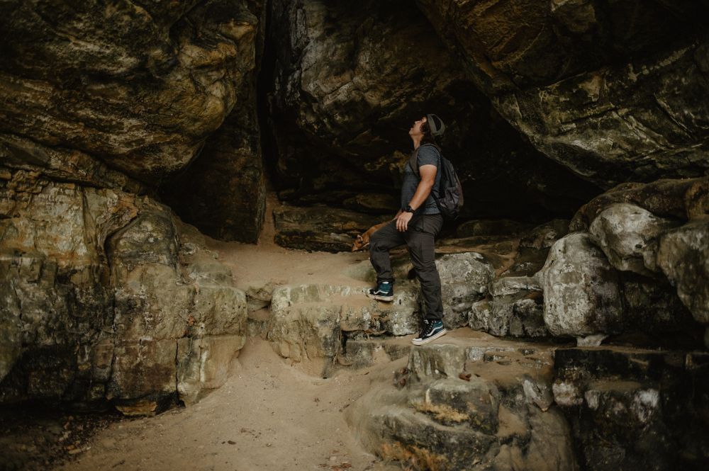
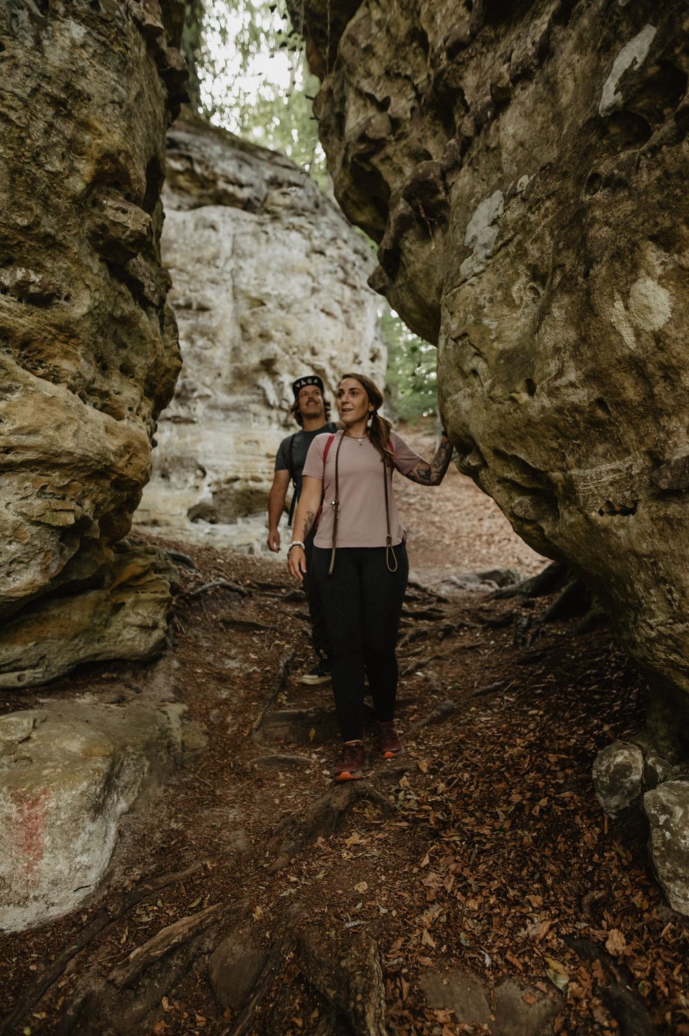
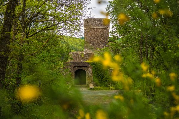
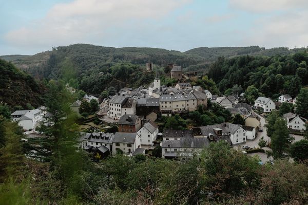
The highlight of this route is surely the “Mamerleeën”, which consist of natural sandstone caves as well as a network of artificial tunnels. The system of these caves extends over a thousand meters. Particularly impressive is the “Huellee” (cave) with a view of the imposing keep of Schoenfels Castle, which originated from a fortress built in 1292 by Friedrich “Ferry” von Schoenfels.
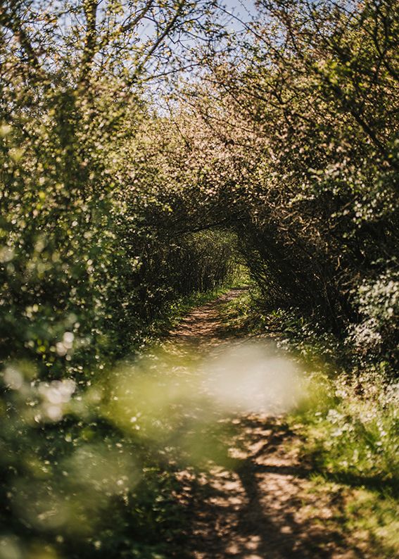
But besides its numerous rock and cave formations, the Guttland.Trail Mamerleeën offers many other highlights that invite you to relax:
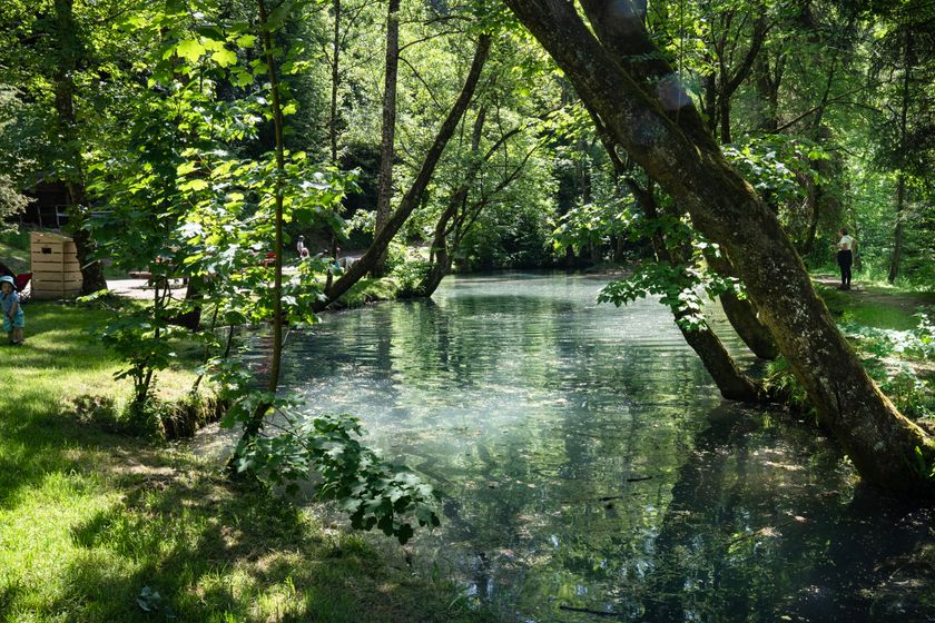
Near the “Huellee” there is an impressive picnic table with a view of Schoenfels Castle. If you continue hiking, you reach the recreational spot “Hunnebur”, a place where numerous benches around the fairy-tale pond invite you to relax in the middle of nature. Towards the end, the trail goes through the small untouched gorge “Wollefsgriecht”.
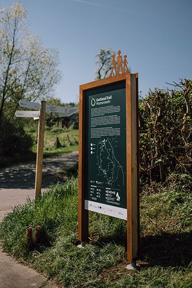
Signposting

Directions
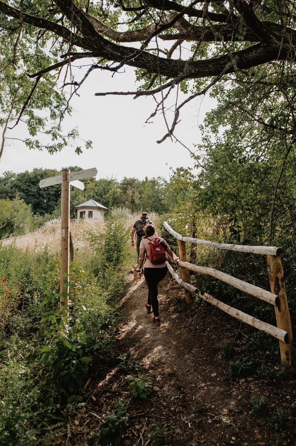
The hiking trail is marked in both directions. Please follow the white-green marking signs.
For your safety
Weather conditions such as wetness, ice, and wind can make a route more difficult. The information refers to optimal conditions.
Equipment
Sturdy footwear and something to drink.
Journey
Use the free public transport and travel climate-friendly by bus and train.
Nearest stop: Uewermiersch, Mersch
Parking:
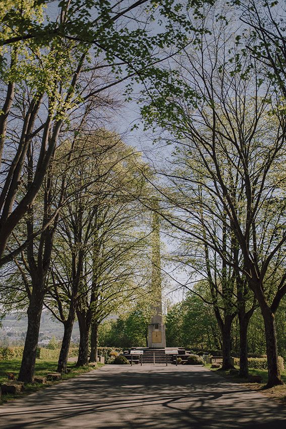
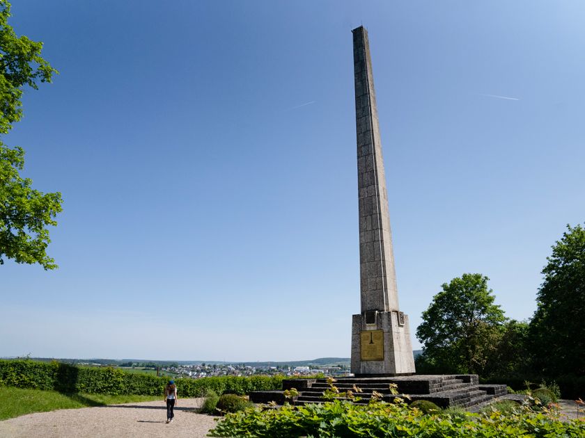
Parking spaces at the Monument national de l'indépendance


 This website uses technology and content from the Outdooractive Platform.