© Visit Éislek, Visit Éislek
Éislek Germany France

Éislek Pad Vianden

Starting point
Car park at the end of the village towards Bivels, Rue du Vieux Marché, Vianden
Destination
Car park at the end of the village towards Bivels, Rue du Vieux Marché, Vianden
Distance
9,25 km
Duration
3:15 h
Difficulty
medium
  • Condition
Highest point
479 Hm
Lowest point
208 Hm
Aggregated Ascent
390 Hm
Aggregated Descent
390 Hm
Éislek Pied Visit Luxembourg

Description

Scenic Refreshment stops available
Over castle and valley 

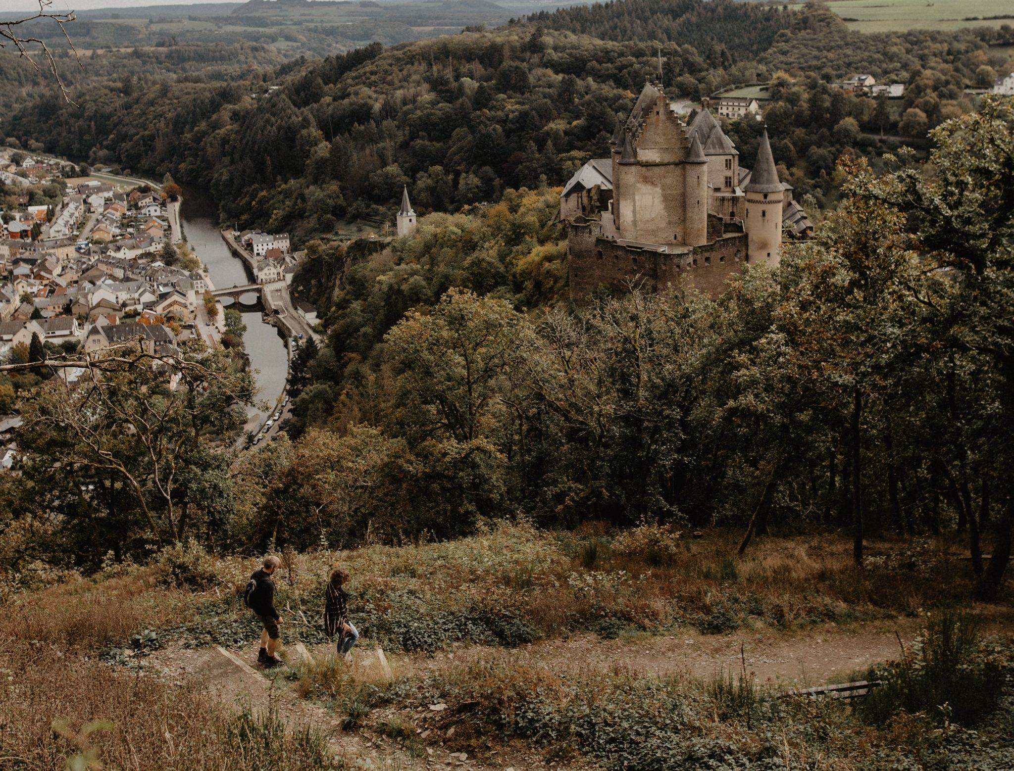
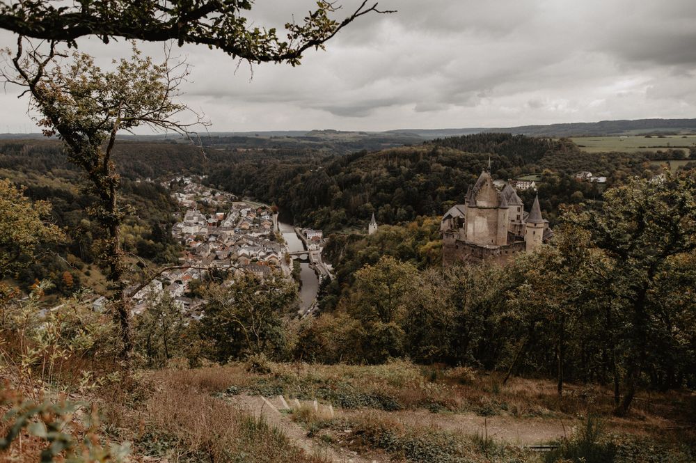
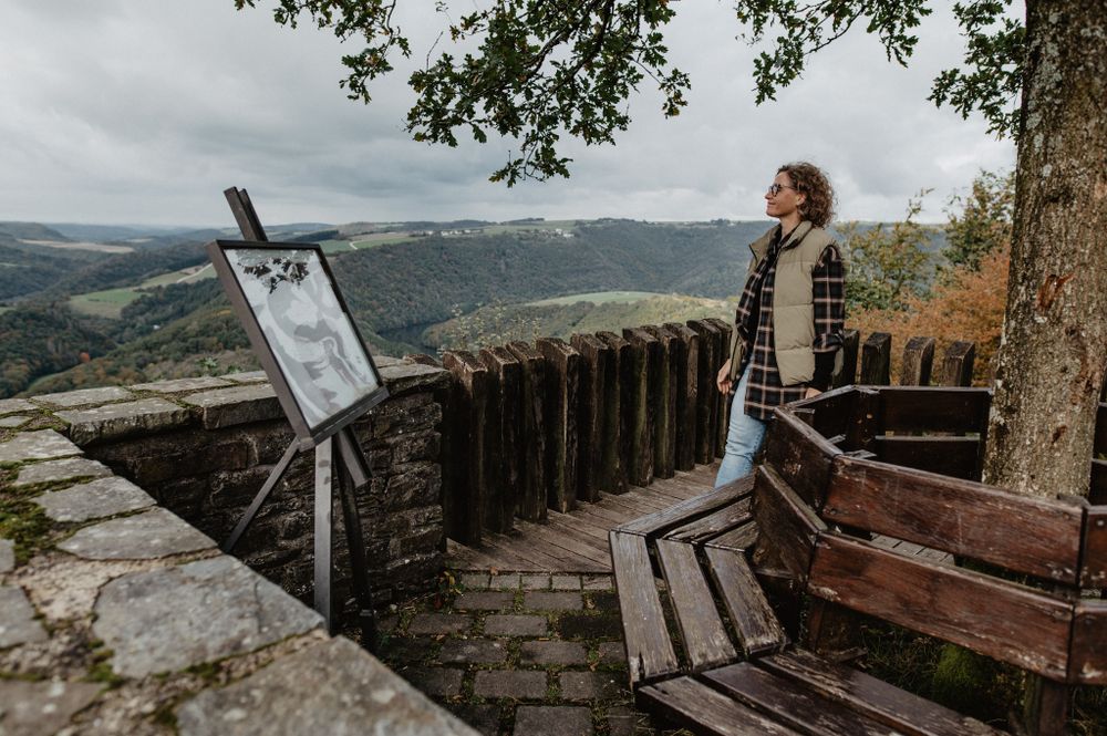
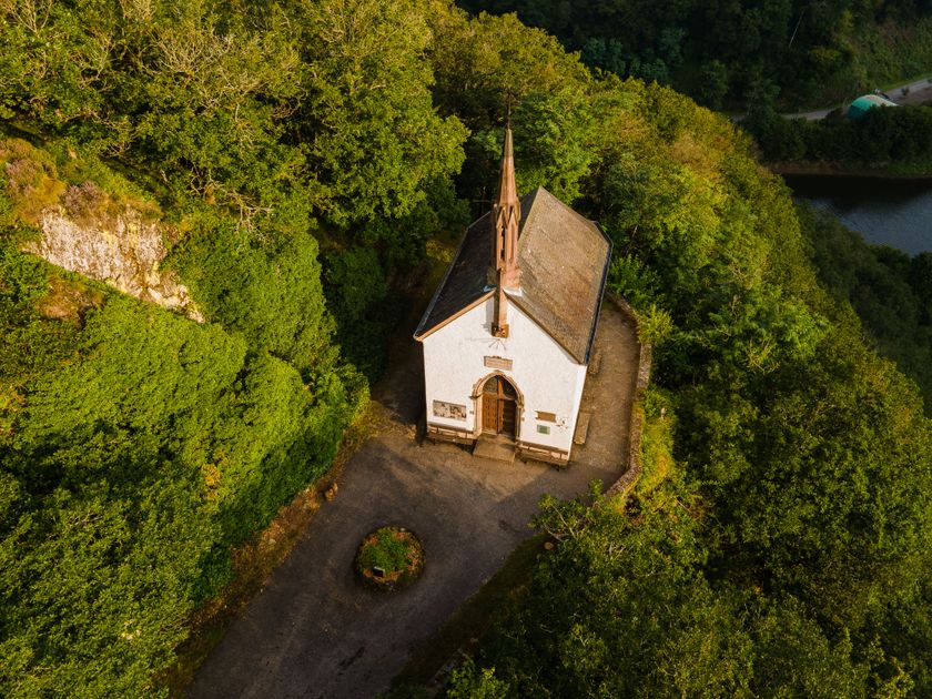
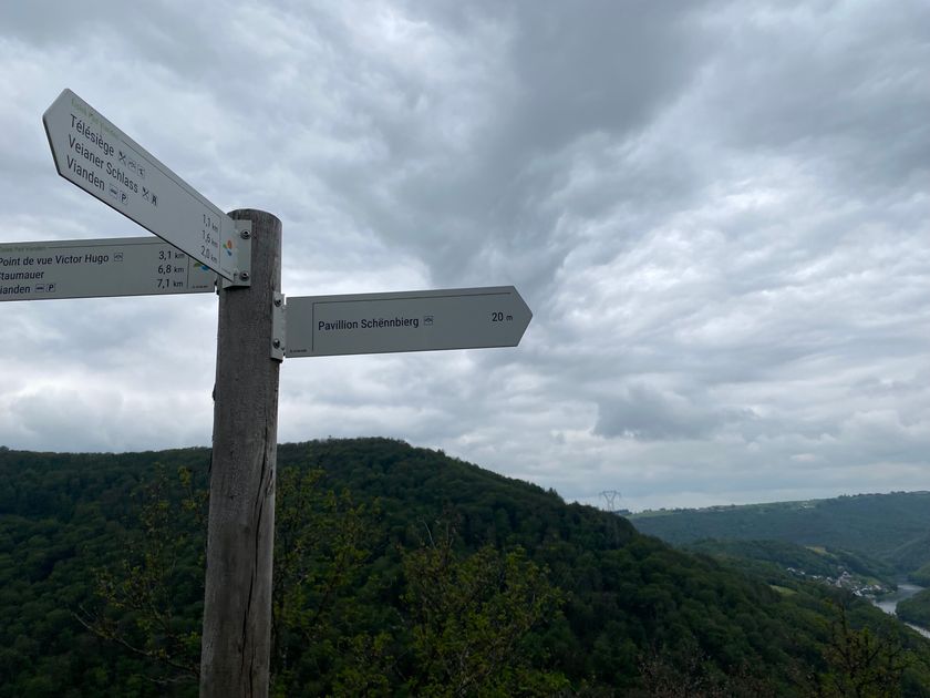
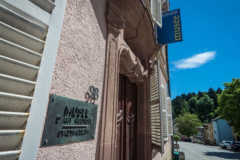
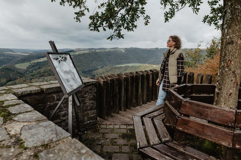
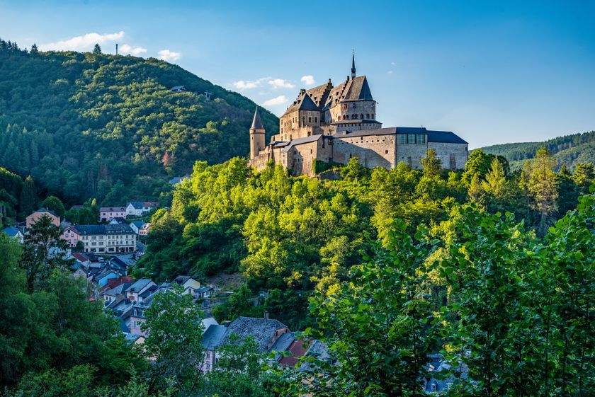
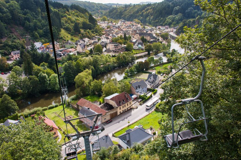
On the ascent and descent of this tour you can let your eyes and thoughts wander over the beautiful landscape. Sometimes the Our Valley is at your feet, then you discover Falkenstein Castle in the distance, and on the descent Vianden presents itself to you with its castle and river from its finest side. There is even the option of taking the chairlift down to the valley.

Suggestions nearby

Éislek Pad Vianden

  • © Visit Éislek
    free
    with theLuxembourgCard
    Vianden Castle
    Explore Vianden Castle, one of the most beautiful and impressive castles in Europe, which delights with its majestic setting, excellent state of preservation and history.
    Find out more
  • © Visit Éislek
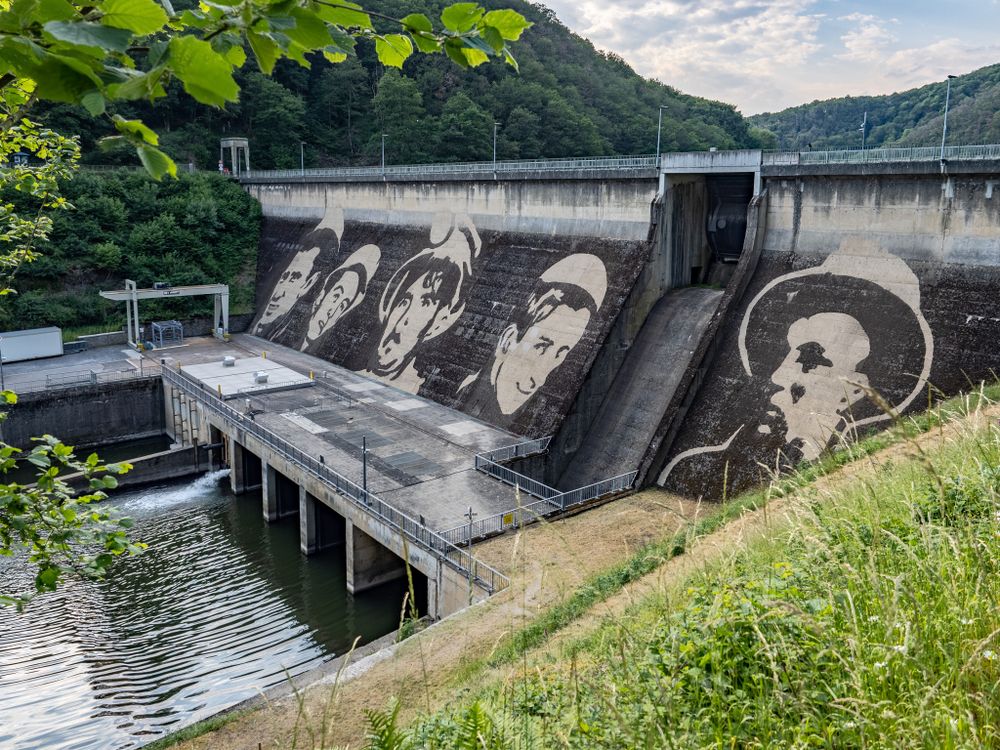
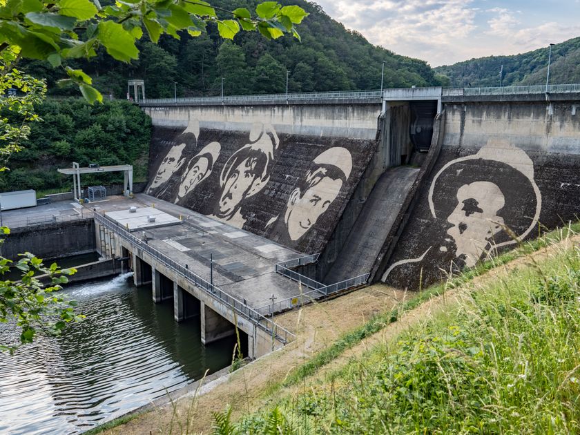
    Vianden Dam
    The Vianden Dam is currently being transformed into an oversized artwork.
    Find out more

Similar hiking tours

© Visit Luxembourg
Distance trails
21 Station to station Bettembourg - Dudelange-Burange
Distance: 14,66 km
Duration: 3:45 h
Difficulty: medium
Find out more
© CFL, Visit Luxembourg
Distance trails
22 Station to Station Dudelange - Burange - Rumelange
Distance: 10,22 km
Duration: 3:05 h
Difficulty: medium
Find out more
© ORT Sud
Distance trails
23 Station to station Rumelange - Kayl
Distance: 12,57 km
Duration: 3:25 h
Difficulty: medium
Find out more
© Visit Luxembourg
Distance trails
25 Station to station Kayl - Schifflange - Esch-sur-Alzette
Distance: 21,71 km
Duration: 6:05 h
Difficulty: medium
Find out more
© Pulsa Pictures, ORT SUD
Distance trails
26 Station to station Esch-sur-Alzette - Belvaux-Soleuvre
Distance: 9,05 km
Duration: 2:30 h
Difficulty: medium
Find out more
© Visit Luxembourg
Distance trails
27 Station to station Belvaux-Soleuvre-Oberkorn
Distance: 5,20 km
Duration: 1:25 h
Difficulty: medium
Find out more
© ORT Sud
Distance trails
28 Station to station Oberkorn - Niederkorn
Distance: 8,69 km
Duration: 2:25 h
Difficulty: medium
Find out more
© ORT Sud
Distance trails
29 Station to station Niederkorn - Rodange
Distance: 10,12 km
Duration: 2:55 h
Difficulty: medium
Find out more
© Visit Luxembourg
Distance trails
30 Station to station Oberkorn - Fond de Gras - Rodange
Distance: 17,78 km
Duration: 5:00 h
Difficulty: medium
Find out more