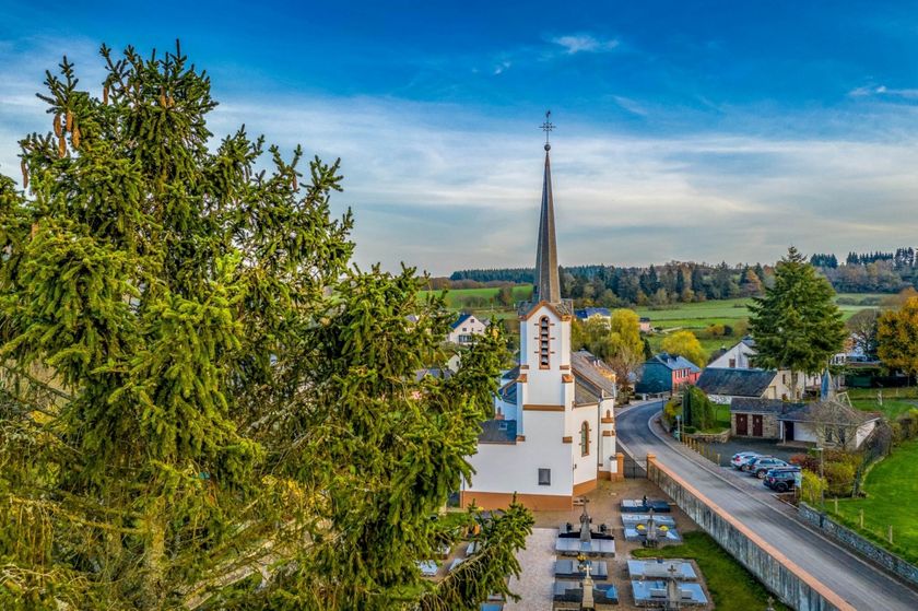
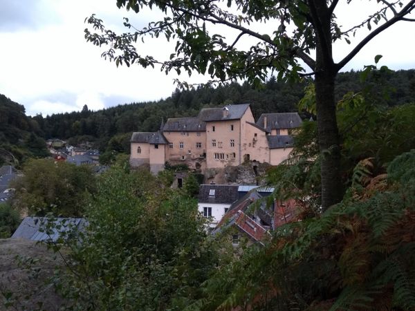
Description
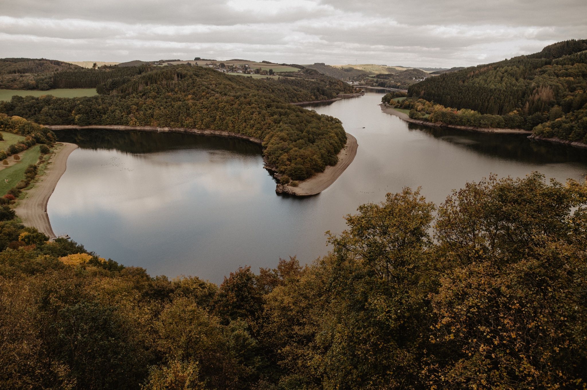
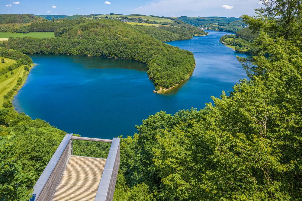
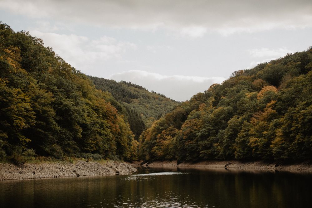
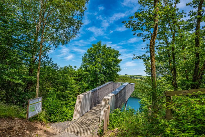
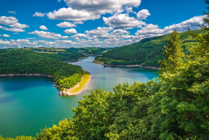
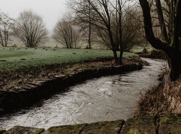
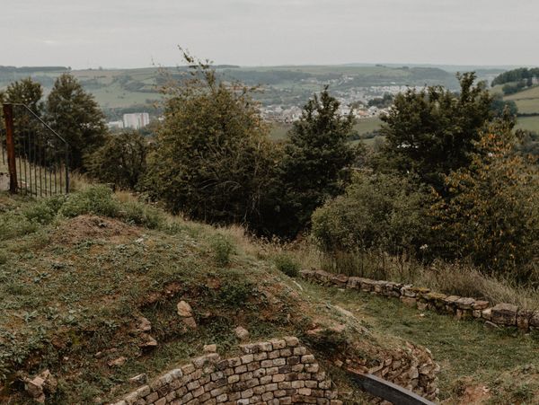
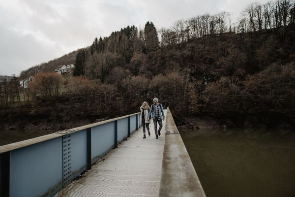
The water that always accompanies you on this route will catch your eye – from the Insenborn beach and especially from the Belvédère Burfelt viewing platform. Curiosity and questions are welcome at the Forest Discovery Center. During the picnic on the shore of the lake, the carved wooden figures will keep you company.
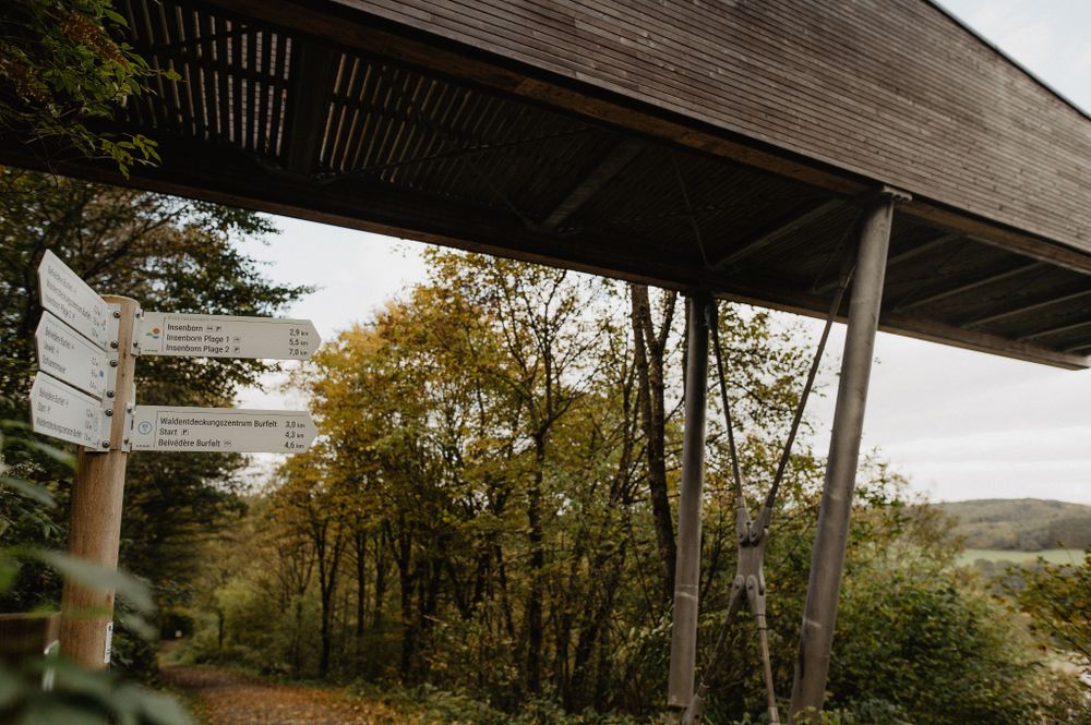
Signposting

Directions
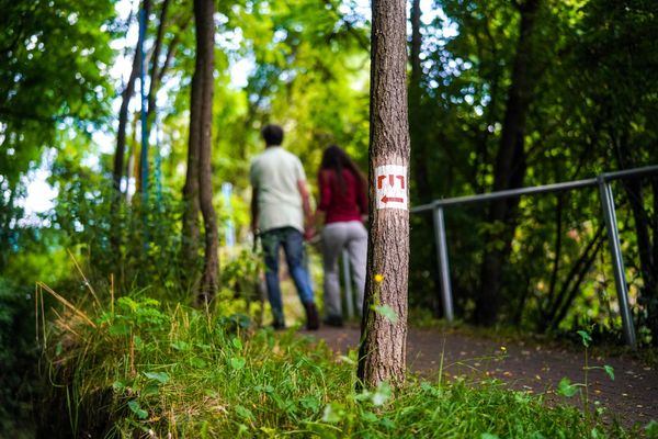
The hiking trail is marked in both walking directions. Please follow the Éislek marking sign.
For your safety
Weather conditions such as wetness, ice, and wind can make a route difficult. The information refers to optimal conditions.
Equipment
Sturdy footwear and something to drink.
Journey
Use the free public transport and travel climate-friendly by bus and train.
Nearest bus stop (40 m): "Duerf"
www.mobiliteit.lu
Parking:
A parking lot is located directly at the starting point.


 This website uses technology and content from the Outdooractive Platform.