© Visit Luxembourg
Mosel Germany France

Auto-pédestre trail Roodt-sur-Syre

Starting point
Train station Roodt-sur-Syre
Destination
Train station Roodt-sur-Syre
Distance
10,82 km
Duration
2:50 h
Difficulty
medium
  • Condition
Highest point
307 Hm
Lowest point
233 Hm
Aggregated Ascent
152 Hm
Aggregated Descent
152 Hm
Circular routes Visit Luxembourg

Description

Refreshment stops available Dog-friendly
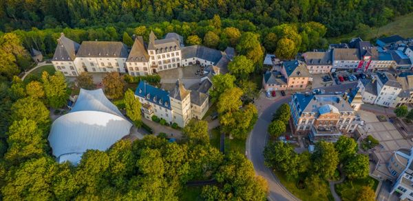
Take advantage of this shaded trail through the Riederbësch, Baurebësch forests and the roman road Kiem which then follows a country road and passes through fields on the return journey.

Start: train station of Roodt-sur-Syre

We go through the village and enter the Riederbësch. We wander through the Baurebësch and the Kiem to Olingen. We return to the starting point via the country road and through some fields.

Please make sure to enable your Cookies in case you don't see this content.

Similar hiking tours


No image available
Circular routes
Auto-pédestre trail Bonnevoie
Distance: 7,87 km
Duration: 2:30 h
Difficulty: medium
Find out more
© dcastigl@pt.lu2019, Visit Luxembourg
Thematic paths
Fluchthelferweg (Nordroute) - Troisvierges
Distance: 12,88 km
Duration: 3:30 h
Difficulty: medium
Find out more
© Jeniska Photography, Visit Guttland
Guttland.Trails
Guttland.Trail Siwe Brécke-Wee
Distance: 5,15 km
Duration: 1:25 h
Difficulty: medium
Find out more
© Visit Luxembourg
Circular routes
Local hiking trail - B7
Distance: 11,57 km
Duration: 3:15 h
Difficulty: medium
Find out more
© Visit Luxembourg
Circular routes
Local hiking trail - C4
Distance: 6,75 km
Duration: 1:50 h
Difficulty: medium
Find out more
© Visit Luxembourg
Circular routes
Local hiking trail - B18
Distance: 4,36 km
Duration: 1:19 h
Difficulty: medium
Find out more
© Visit Luxembourg
Circular routes
Local hiking trail - C6
Distance: 5,88 km
Duration: 1:40 h
Difficulty: medium
Find out more
© Visit Luxembourg
Circular routes
Local hiking trail - B2
Distance: 4,14 km
Duration: 1:10 h
Difficulty: medium
Find out more
© ORTMPSL, ORTMPSL
Circular routes
Local hiking trail - B4
Distance: 6,13 km
Duration: 1:49 h
Difficulty: medium
Find out more