Starting point
Next to the church in Kehlen
Destination
Next to the church in Kehlen
Distance
8,88 km
Duration
2:35 h
Difficulty
medium
  • Condition
Highest point
381 Hm
Lowest point
290 Hm
Aggregated Ascent
177 Hm
Aggregated Descent
177 Hm
Circular routes Visit Luxembourg

Description

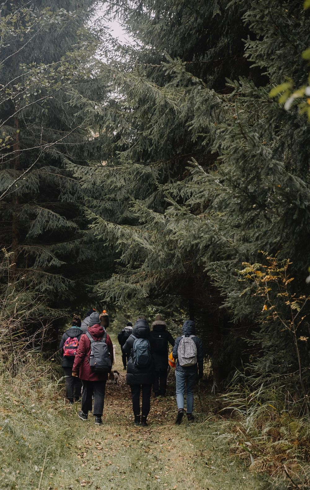
Circular walk Kehlen

We walk through the town in the direction of Schéi­merech, past the cemetery and into the forest. We ramble downhill into the valley of the Mamer and continue to the Riedelbaach valley. We circle around the hamlet Brameschhaff and return along the edge of the forest to Kehlen.

Please make sure to enable your Cookies in case you don't see this content.

Suggestions nearby

Auto-pédestre trail Kehlen

  • Distillery Museum
    Discover the techniques and traditions of the art of distilling from its beginnings to the present.
    Find out more

Similar hiking tours

© © Wanderbüro Saar-Hunsrück, Klaus-Peter Kappest, SaarSchleifenLand
Dream loops
"Traumschleife" Schengen without borders
Distance: 8,54 km
Duration: 3:30 h
Difficulty: medium
Find out more
© Visit Luxembourg
Distance trails
21 Station to station Bettembourg - Dudelange-Burange
Distance: 14,66 km
Duration: 3:45 h
Difficulty: medium
Find out more
© CFL, Visit Luxembourg
Distance trails
22 Station to Station Dudelange - Burange - Rumelange
Distance: 10,22 km
Duration: 3:05 h
Difficulty: medium
Find out more
© ORT Sud
Distance trails
23 Station to station Rumelange - Kayl
Distance: 12,57 km
Duration: 3:25 h
Difficulty: medium
Find out more
© Visit Luxembourg
Distance trails
25 Station to station Kayl - Schifflange - Esch-sur-Alzette
Distance: 21,71 km
Duration: 6:05 h
Difficulty: medium
Find out more
© Pulsa Pictures, ORT SUD
Distance trails
26 Station to station Esch-sur-Alzette - Belvaux-Soleuvre
Distance: 9,05 km
Duration: 2:30 h
Difficulty: medium
Find out more
© Visit Luxembourg
Distance trails
27 Station to station Belvaux-Soleuvre-Oberkorn
Distance: 5,20 km
Duration: 1:25 h
Difficulty: medium
Find out more
© ORT Sud
Distance trails
28 Station to station Oberkorn - Niederkorn
Distance: 8,69 km
Duration: 2:25 h
Difficulty: medium
Find out more
© ORT Sud
Distance trails
29 Station to station Niederkorn - Rodange
Distance: 10,12 km
Duration: 2:55 h
Difficulty: medium
Find out more