© Visit Luxembourg
Mosel Germany France

Auto-pédestre trail Ellange

Starting point

Cemetery Ellange

Destination

Cemetery Ellange

Distance
9,53 km
Duration
2:33 h
Difficulty
easy
  • Condition
Highest point
254 Hm
Lowest point
172 Hm
Aggregated Ascent
102 Hm
Aggregated Descent
102 Hm
Circular routes Visit Luxembourg

Description

Refreshment stops available
In the heart of the forest, this path is ideal for nature lovers and offers a panoramic view of the village of Ellange and its natural landscape.

Start: Ellange-Gare

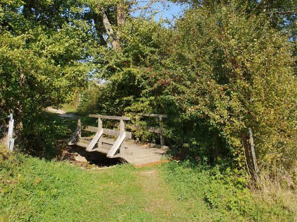
We follow the former railway line of the Janglisbunn and ramble through the north-western slopes of a wooded hill. We leave the forest in the direction of Emeréngerhaff. We then follow the road and return via the Reckingerbierg to the starting point.
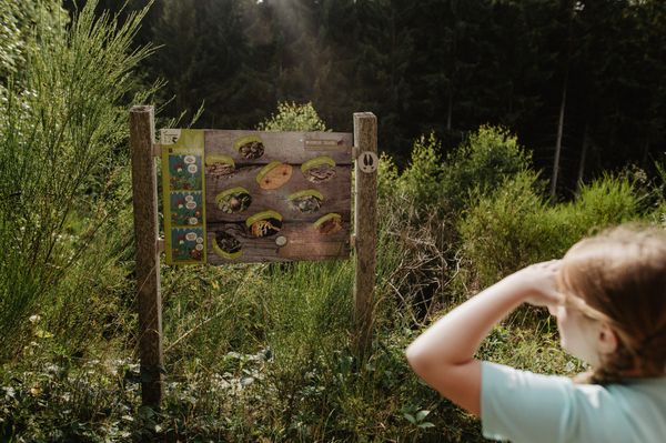
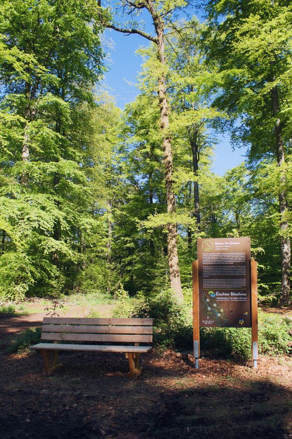
Suggestions nearby

Auto-pédestre trail Ellange

  • Domaine Viticole Krier-Welbes
    Domaine Viticole Krier-Welbes
    Find out more
  • © Restaurant La Rameaudiere
    Restaurant La Rameaudiere
    Restaurant La Rameaudiere
    Find out more
  • © Caves Gales
    Caves Gales
    Caves Gales
    Find out more

Similar hiking tours

© Visit Éislek, Visit Éislek
Circular routes
Local hiking trail WI 4 - Wiltz
Distance: 6,53 km
Duration: 2:00 h
Difficulty: easy
Find out more
© Visit Éislek, Visit Éislek
Circular routes
Local hiking trail WN 2 - Asselborn Mill
Distance: 5,51 km
Duration: 1:30 h
Difficulty: easy
Find out more
© Visit Éislek, Visit Luxembourg
Thematic paths
Discovery Trail - The bat tunnel
Distance: 3,13 km
Duration: 0:49 h
Difficulty: easy
Find out more
© Visit Luxembourg
Circular routes
Local hiking trail - R6
Distance: 3,79 km
Duration: 1:05 h
Difficulty: easy
Find out more
© Visit Luxembourg
Circular routes
Local hiking trail - C4
Distance: 6,75 km
Duration: 1:50 h
Difficulty: easy
Find out more
© Visit Luxembourg
Circular routes
Auto-pédestre trail Manternach
Distance: 10,41 km
Duration: 2:55 h
Difficulty: easy
Find out more
© Visit Luxembourg
Circular routes
Local hiking trail - C7
Distance: 6,83 km
Duration: 1:45 h
Difficulty: easy
Find out more
© CFL, Visit Luxembourg
Distance trails
31 Station to station Niederkorn - Bascharage-Sanem
Distance: 5,28 km
Duration: 1:20 h
Difficulty: easy
Find out more
© Visit Luxembourg
Distance trails
CFL-Bahnwanderweg 3 (Clervaux - Drauffelt)
Distance: 6,76 km
Duration: 2:05 h
Difficulty: easy
Find out more