©Visit Luxembourg
Müllerthal Germany France

Local hiking trail - R6

Hunting Season 2025/26 — Check for hunts

Autumn is here, and that means hunting season has begun! From mid-October to January/February, hunters are active across the country. Stay safe by checking hunt dates in your area on our Map. 

Click on Map in the Header > Services > More > Hunting.

Starting point

Bigelbach: Church

Destination

Bigelbach: Church

Distance
3,79 km
Duration
1:05 h
Difficulty
easy
  • Condition
Highest point
361 Hm
Lowest point
275 Hm
Aggregated Ascent
78 Hm
Aggregated Descent
78 Hm
Circular routes Visit Luxembourg

Description

Scenic

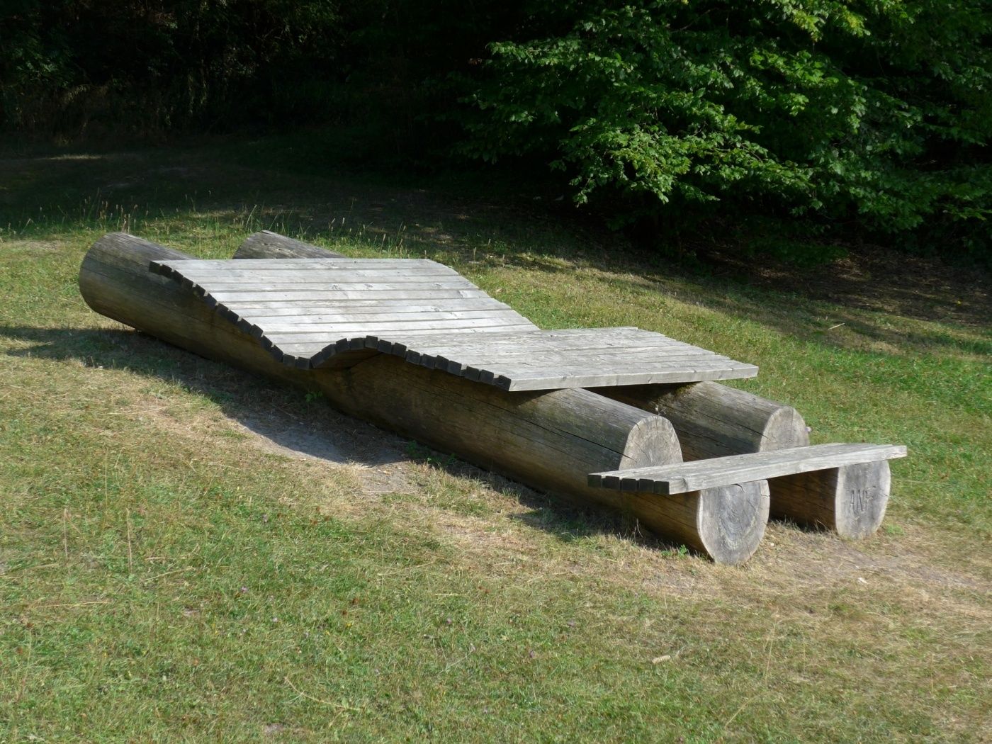
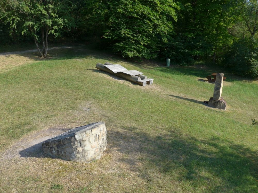
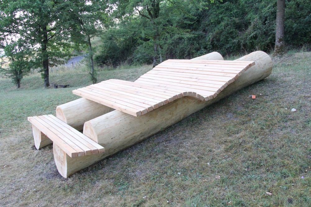
Easy hike from the village of Bigelbaach with special resting opportunities.

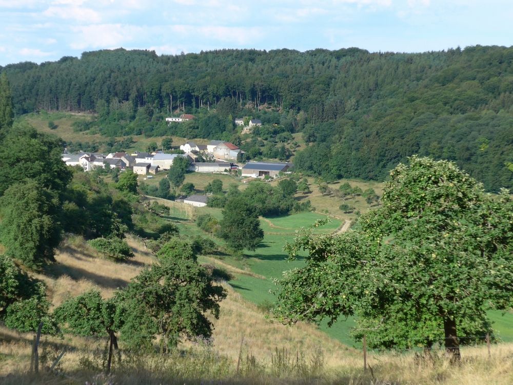
The hike around the village of Bigelbach initially leads along the slope of the Giedendeeltgen through forest. In the second half of the path, it goes downhill and across meadows and fields back to Bigelbach. A break is especially recommended at the picnic area, where you can enjoy a panoramic view.

Similar hiking tours

©Ville de Dudelange, Ville de Dudelange
Circular routes
Local hiking trail Dudelange - "Buerfousswee"
Distance: 0,64 km
Duration: 0:10 h
Difficulty: easy
Find out more
©Pancake!
Circular routes
Nature walk Natura 2000 - Boucle A: « L’homme et la forêt » – 5 km
Distance: 5,51 km
Duration: 1:30 h
Difficulty: easy
Find out more
©KuFa
Circular routes
Nature walk Natura 2000 - Boucle C: "La succession végétale sur un ancien territoire minier" – 2,5 km
Distance: 2,68 km
Duration: 0:45 h
Difficulty: easy
Find out more
©ORT SUD
Circular routes
Local hiking trail Esch: Sentier Norbert Theis Trail – 7km
Distance: 7,98 km
Duration: 2:15 h
Difficulty: easy
Find out more
©Pulsa Pictures, ORT SUD
Circular routes
Local hiking trail Esch: Burgronn - 3 km
Distance: 2,97 km
Duration: 0:45 h
Difficulty: easy
Find out more
©Visit Luxembourg
Circular routes
Auto-Pédestre trail Büderscheid
Distance: 4,64 km
Duration: 1:20 h
Difficulty: easy
Find out more
©Fränk Weber, Studio Frank Weber
Circular routes
Auto-Pédestre Bourscheid route
Distance: 5,88 km
Duration: 2:00 h
Difficulty: easy
Find out more
©ORT Sud
Circular routes
Local hiking route "Parc Le'h" - children’s route
Distance: 1,46 km
Duration: 0:25 h
Difficulty: easy
Find out more
©Visit Luxembourg
Circular routes
Auto-Pédestre Hiking Route Eschweiler
Distance: 7,05 km
Duration: 1:55 h
Difficulty: easy
Find out more
outdooractive This website uses technology and content from the Outdooractive Platform.