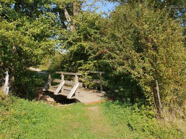
©CFL, Visit Luxembourg
Minett Germany France

31 Station to station Niederkorn - Bascharage-Sanem

Hunting Season 2025/26 — Check for hunts

Autumn is here, and that means hunting season has begun! From mid-October to January/February, hunters are active across the country. Stay safe by checking hunt dates in your area on our Map. 

Click on Map in the Header > Services > More > Hunting.

Starting point

Niederkorn train station, 200bue Pierre Gansen 4570 Niederkorn

Destination

Bascharage train station, 25-1 Rue de la Continentale, 4917 Bascharage

Distance
5,28 km
Duration
1:20 h
Difficulty
easy
  • Condition
Highest point
320 Hm
Lowest point
280 Hm
Aggregated Ascent
88 Hm
Aggregated Descent
85 Hm
Distance trails Visit Luxembourg

Description

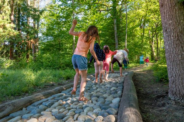
Kids & Family Refreshment stops available
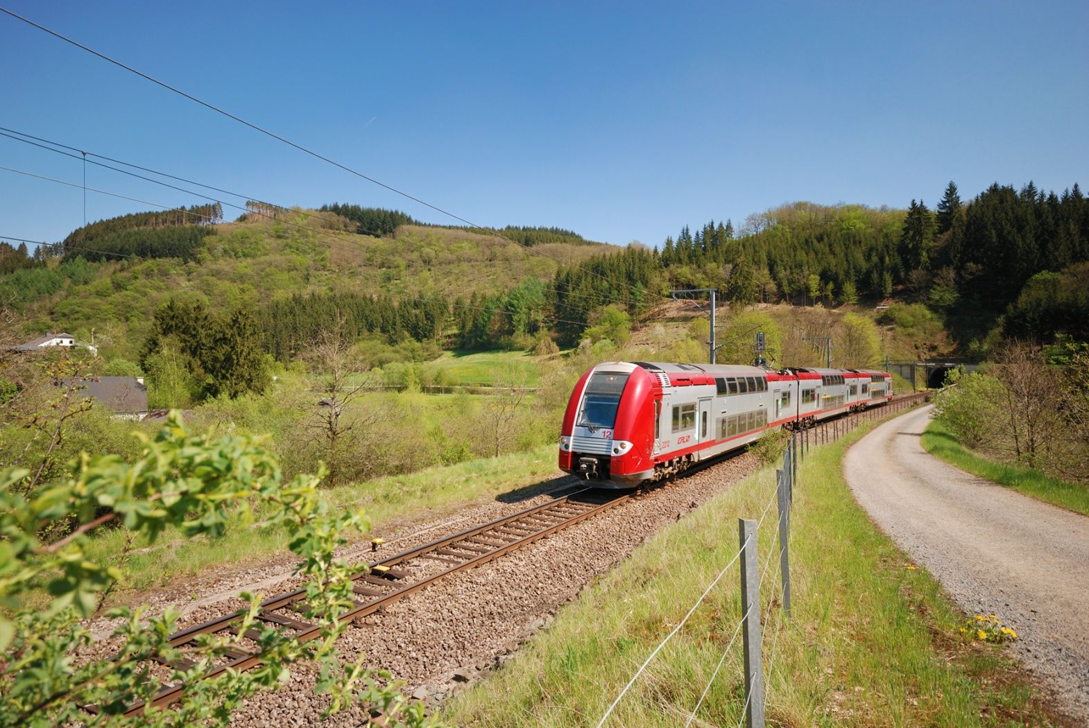
Hike from train station to station, between Niederkorn and Bascharage-Sanem

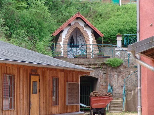
This is a short ramble with some minor climbs. At the beginning, the trail leads trough a residential area and a industrial site. It then follows several cycling routes, the most widely known being the national cycling route PC6 Piste cyclable des Trois Cantons, which at its end passes through a beautiful wood.

This tour can be combined with CFL trails 28, Oberkorn - Niederkorn (8,9km) or 29, Niederkorn - Rodange (12km).

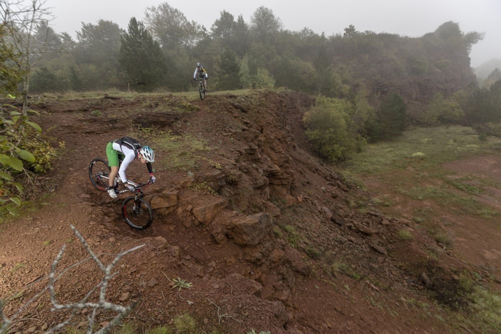
This tour can also be done by bicycle (mountain bike). Please pay attention road traffic on the first stretch of about 1km!


© Editions Guy Binsfeld

Similar hiking tours

©Ville de Dudelange, Ville de Dudelange
Circular routes
Local hiking trail Dudelange - "Buerfousswee"
Distance: 0,64 km
Duration: 0:10 h
Difficulty: easy
Find out more
©ORT Sud
Circular routes
Natura 2000 trail - Loop B: « L’exploitation des terrains ferrières, jadis et aujourd’hui » – 4,5 km
Distance: 4,88 km
Duration: 1:15 h
Difficulty: easy
Find out more
©KuFa
Circular routes
Natura 2000 Trail - Boucle C: "La succession végétale sur un ancien territoire minier" – 2,5 km
Distance: 2,68 km
Duration: 0:45 h
Difficulty: easy
Find out more
©ORT SUD
Circular routes
Local hiking trail Esch: Sentier Norbert Theis Trail – 7km
Distance: 7,98 km
Duration: 2:15 h
Difficulty: easy
Find out more
©Pulsa Pictures, ORT SUD
Circular routes
Local hiking trail Esch: Burgronn - 3 km
Distance: 2,97 km
Duration: 0:45 h
Difficulty: easy
Find out more
©Visit Luxembourg
Circular routes
Auto-Pédestre trail Tadler
Distance: 4,57 km
Duration: 1:30 h
Difficulty: easy
Find out more
©Visit Luxembourg
Circular routes
Auto-Pédestre trail Bürden
Distance: 4,62 km
Duration: 1:25 h
Difficulty: easy
Find out more
©ORT Sud
Circular routes
Local hiking trail "Parc Le'h" - Childrens didactic path
Distance: 1,46 km
Duration: 0:25 h
Difficulty: easy
Find out more
©Visit Luxembourg
Circular routes
Auto-Pédestre trail Eschweiler
Distance: 7,05 km
Duration: 1:55 h
Difficulty: easy
Find out more
outdooractive This website uses technology and content from the Outdooractive Platform.