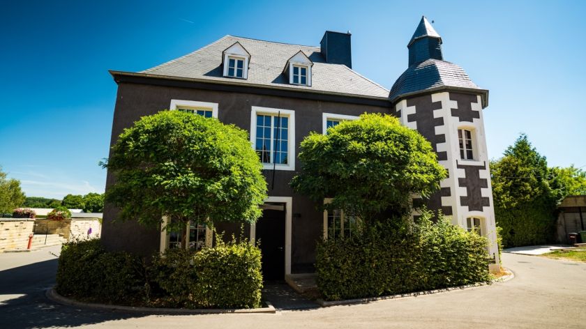
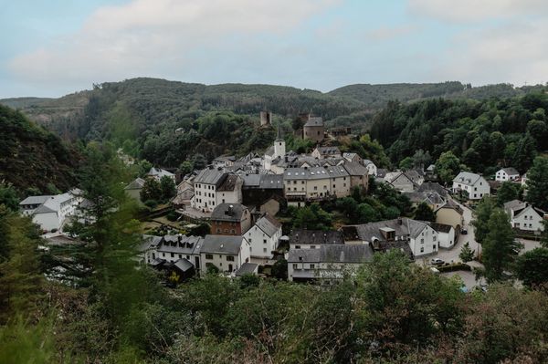
© Visit Luxembourg
Minett Germany France

Auto-Pédestre trail Clemency

Starting point
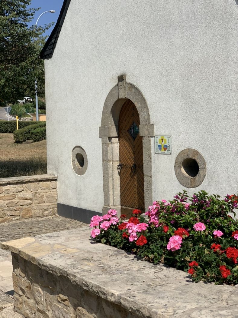
St. Maximin Chapel, rue de la chapelle, 4966 Clemency
Destination
St. Maximin Chapel, rue de la chapelle, 4966 Clemency
Distance
8,44 km
Duration
2:15 h
Difficulty
easy
  • Condition
Highest point
368 Hm
Lowest point
307 Hm
Aggregated Ascent
131 Hm
Aggregated Descent
131 Hm
Circular routes Visit Luxembourg

Description

Refreshment stops available
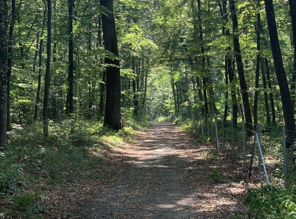
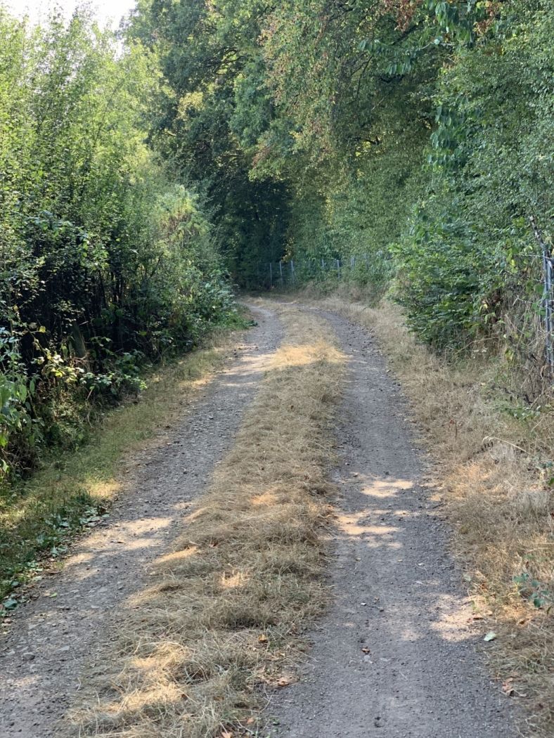
Relaxed hiking across open fields and through extensive forests around Clemency.

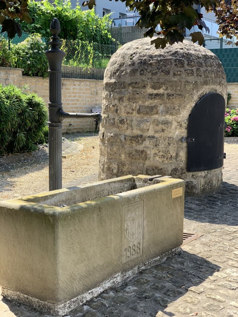
The trail begins in the village center of Clemency near the former train station. Even though there are no trains anymore, the station building has been converted into an inn. The route leads partly through open country and partly through the forests around Clemency. The entire route leads along easy-to-walk paths.

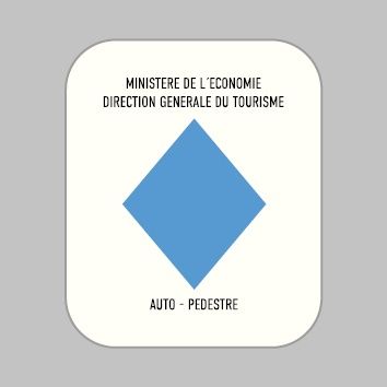
Follow the blue diamond on white background, the route is marked in both directions.

Please make sure to enable your Cookies in case you don't see this content.

Suggestions nearby

Auto-Pédestre trail Clemency

  • © Château de Clemency
    Castle of Clemency - Espace "Peggy's"
    Wifi
  • © Château de Clemency
    Castle of Clemency - Espace "Tribute"
    Garden / ParkWifiSituated in the centre of town
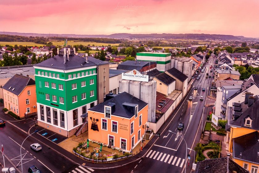
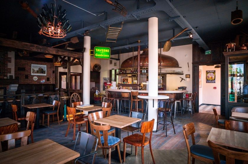
  • © Restaurant "An der Brauerei"
    Restaurant D’Braustuff
    Come and taste the range of our local beers from the National Brewery while having a cosy lunch or dinner with family, friends, colleagues.
    Find out more
  • © Château de Clemency
    Castle of Clemency - Espace "Les Années 20"
    Garden / ParkWifiSituated in the centre of town
  • © Brasserie Nationale
    Brasserie Nationale (Bofferding & Battin)
    Discover the world of beers from Luxemburg at the Brasserie Nationale (Bofferding & Battin)
    Find out more

Similar hiking tours

© Visit Éislek, Visit Éislek
Circular routes
Local hiking trail WI 4 - Wiltz
Distance: 6,53 km
Duration: 2:00 h
Difficulty: easy
Find out more
© Visit Éislek, Visit Luxembourg
Thematic paths
Discovery Trail - The bat tunnel
Distance: 3,13 km
Duration: 0:49 h
Difficulty: easy
Find out more
© Visit Luxembourg
Circular routes
Local hiking trail - R6
Distance: 3,79 km
Duration: 1:05 h
Difficulty: easy
Find out more
© Visit Luxembourg
Circular routes
Local hiking trail - N5
Distance: 3,78 km
Duration: 1:05 h
Difficulty: easy
Find out more
© Visit Luxembourg
Circular routes
Local hiking trail - C4
Distance: 6,75 km
Duration: 1:50 h
Difficulty: easy
Find out more
© Visit Luxembourg
Circular routes
Auto-pédestre trail Manternach
Distance: 10,41 km
Duration: 2:55 h
Difficulty: easy
Find out more
© CFL, Visit Luxembourg
Distance trails
31 Station to station Niederkorn - Bascharage-Sanem
Distance: 5,28 km
Duration: 1:20 h
Difficulty: easy
Find out more
© Anna Katina, Visit Luxembourg
Circular routes
Auto-pédestre trail Remich
Distance: 9,76 km
Duration: 2:30 h
Difficulty: easy
Find out more
© Naturpark Oewersauer, Naturpark Oewersauer
Circular routes
Hiking trail Schumannseck - Site Memorial 1944-1945
Distance: 3,09 km
Duration: 0:50 h
Difficulty: easy
Find out more