Description
This route climbs the Wéngertsbierg, Canecherbierg, Kalebierg, and the Haard. It partly runs along the Lennengerbaach to Lenningen before returning to the starting point through the Branebësch.
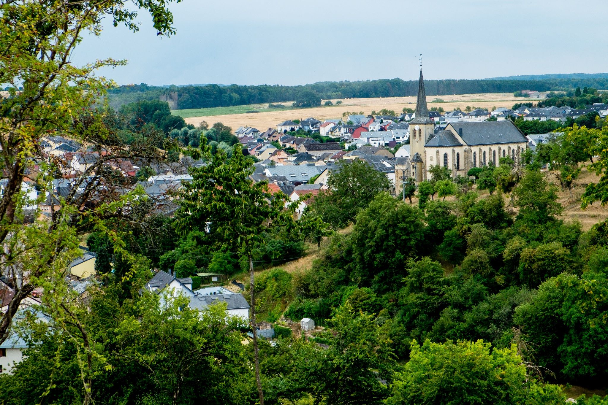
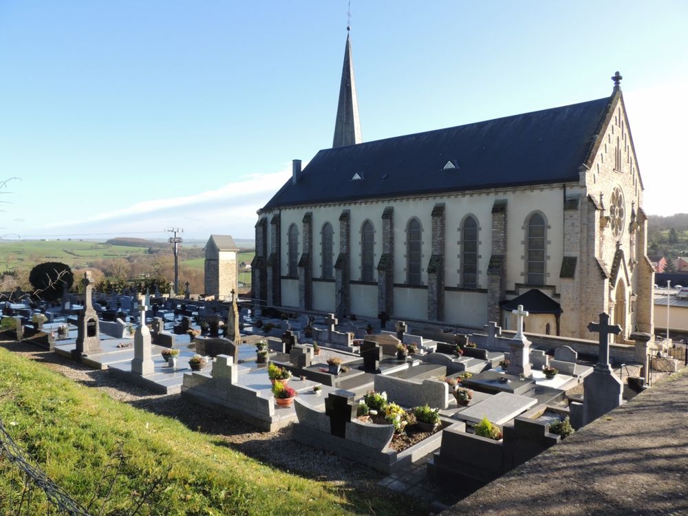
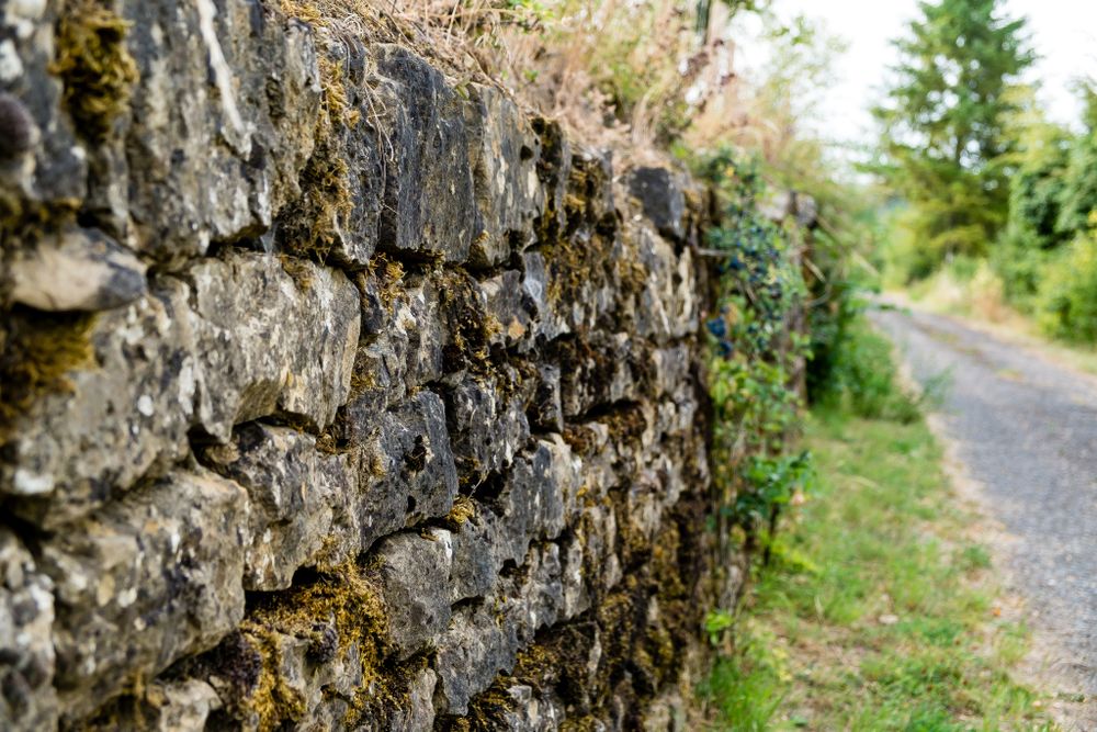
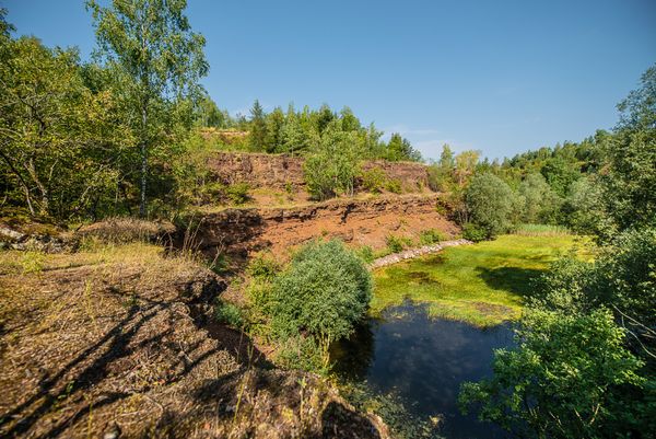
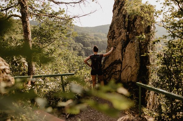
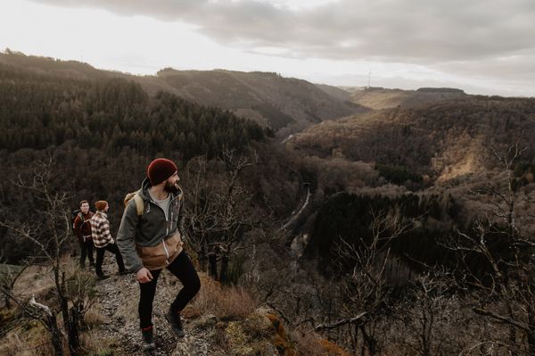
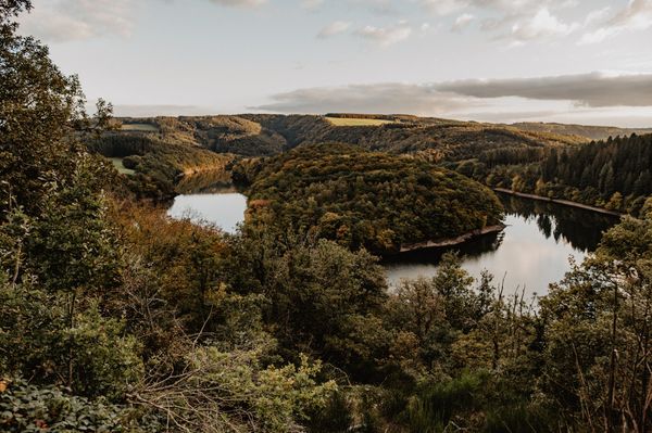
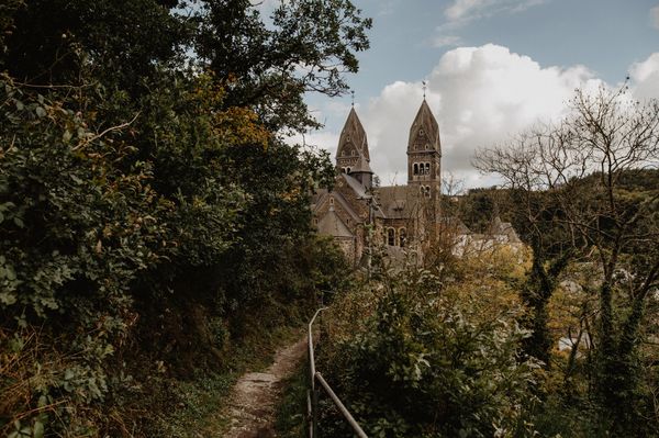
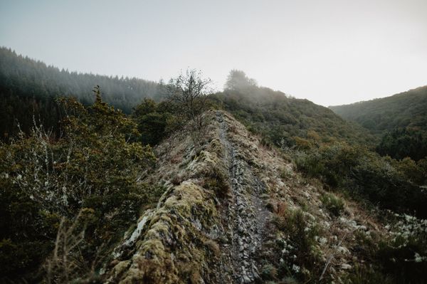
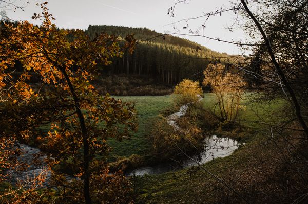
The hiking trail connects the villages of Canach and Lenningen, which lie in the valley of the Lenningerbaach, and offers magnificent views of the Moselle hinterland. At the edges of the villages, the path runs along south-facing slopes with former terraces and dry stone walls. The hill of Kalebierg offers an open landscape with little relief, where the clay soils are used as pasture and farmland. South of Lenningen, you cross a landscape with many hedges, orchards, and solitary trees before returning to Canach through the forest (oak, hornbeam, and beech forest).
Signposting

Directions
Follow the blue lozenge on a white background; the path is marked in both directions.
Equipment
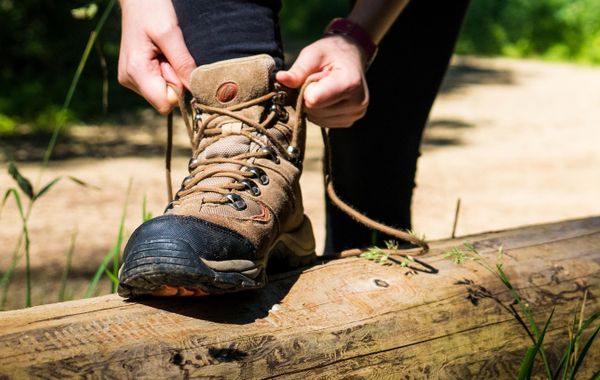
Sturdy footwear
Journey
Nearest bus stop: Canach, Post

 This website uses technology and content from the Outdooractive Platform.