Starting point
Mullerthal: Touristcenter Heringer Millen
Destination
Mullerthal: Touristcenter Heringer Millen
Distance
11,47 km
Duration
3:45 h
Difficulty
medium
  • Condition
  • Technique
Highest point
340 Hm
Lowest point
178 Hm
Aggregated Ascent
321 Hm
Aggregated Descent
321 Hm
Circular routes Visit Luxembourg

Description

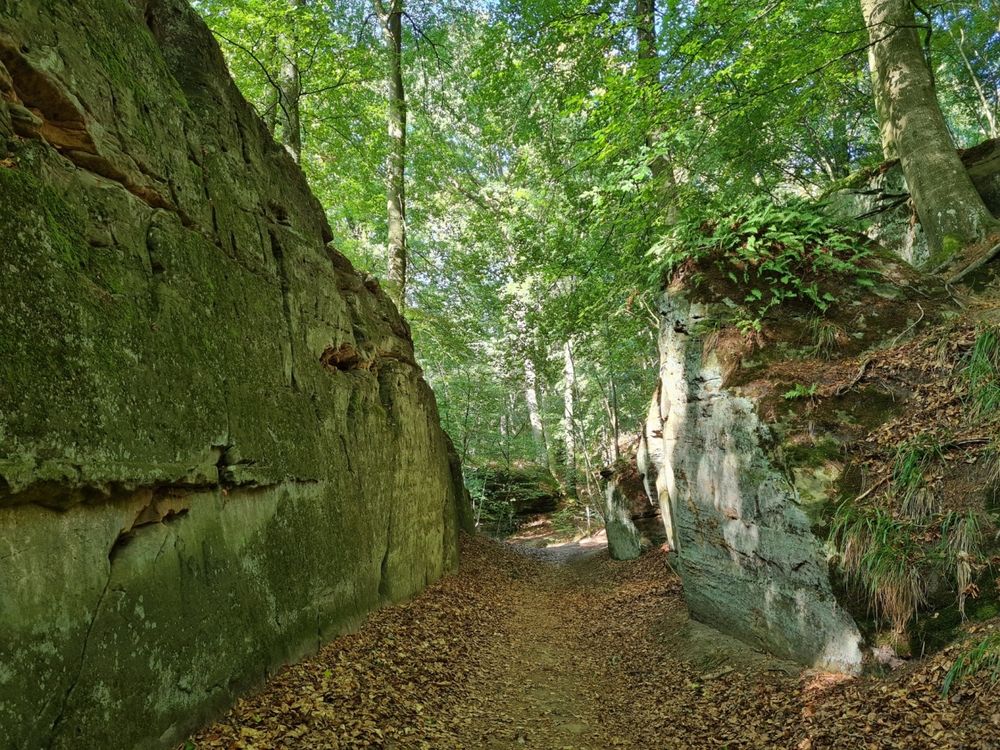
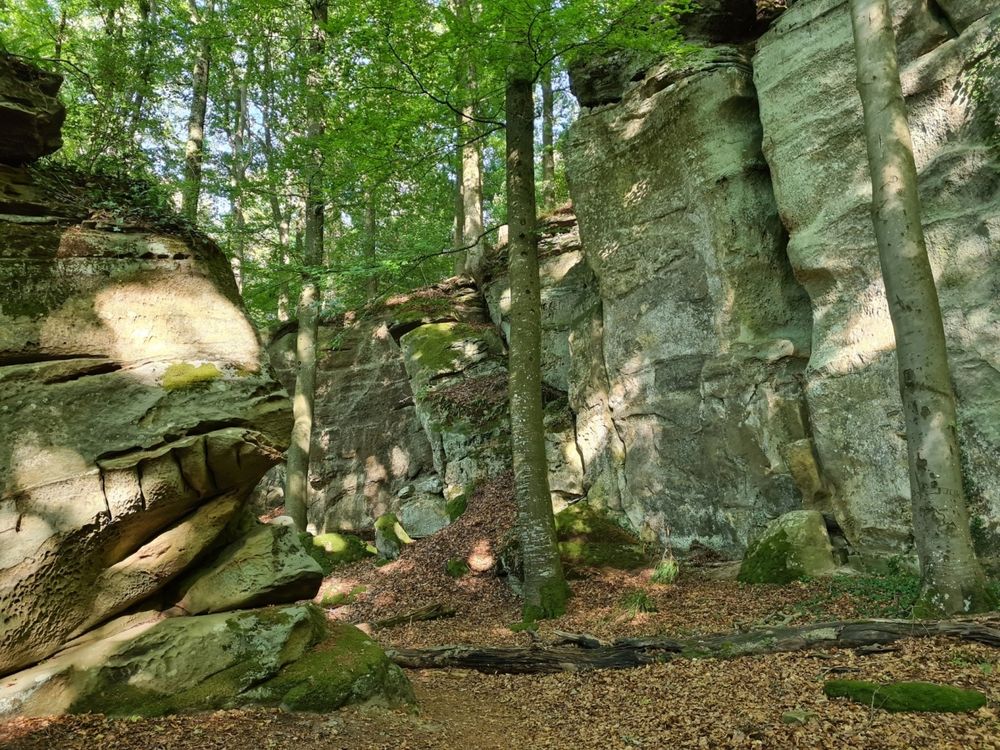
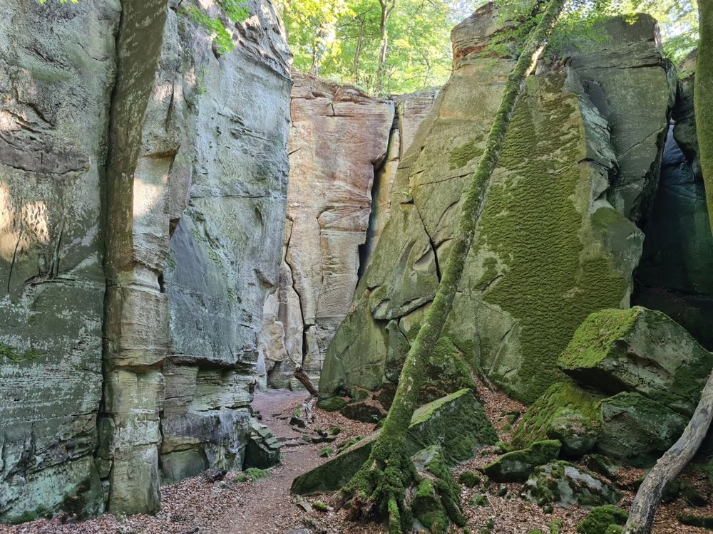
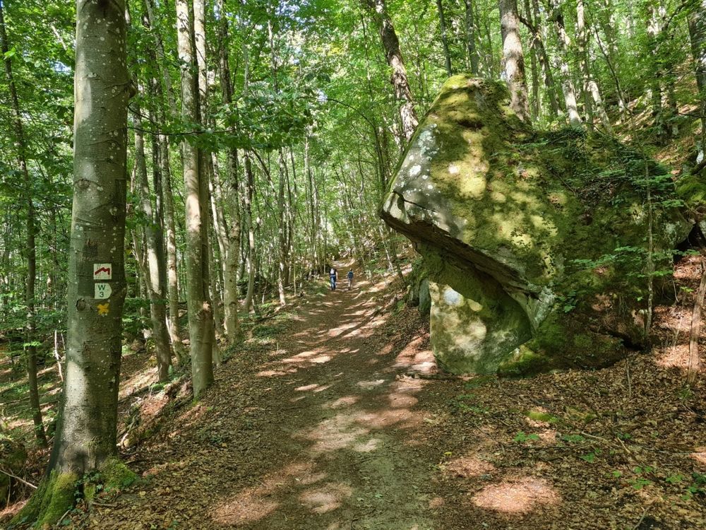
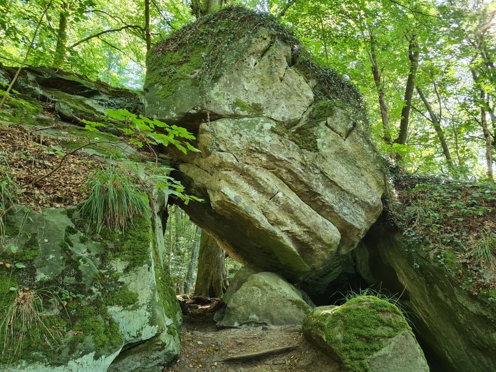
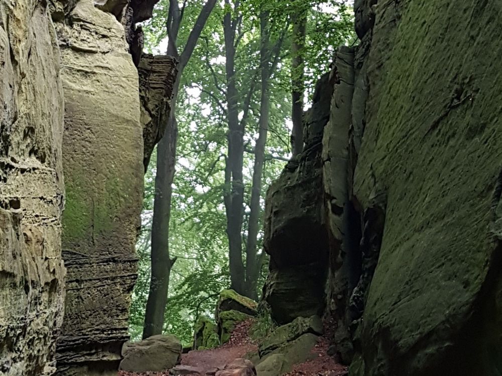
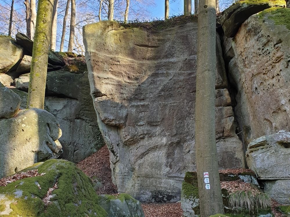
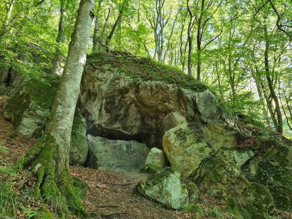
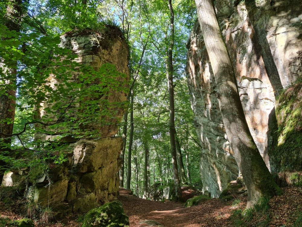
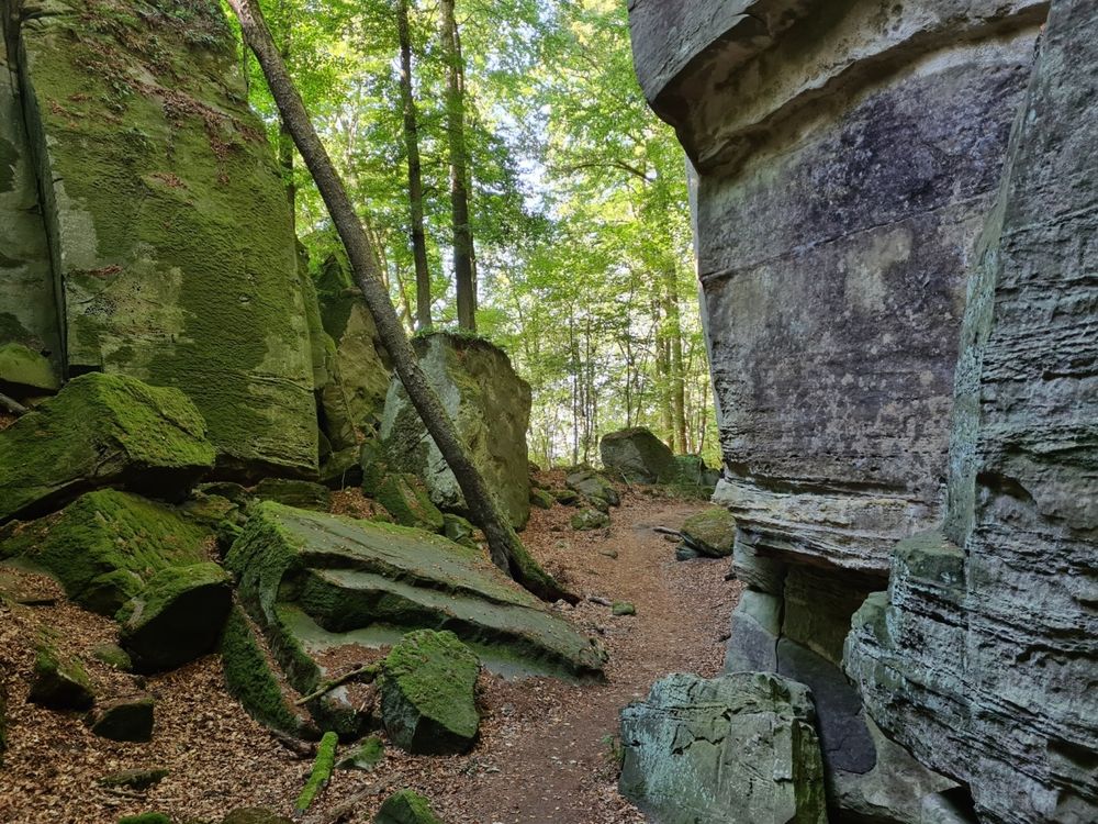
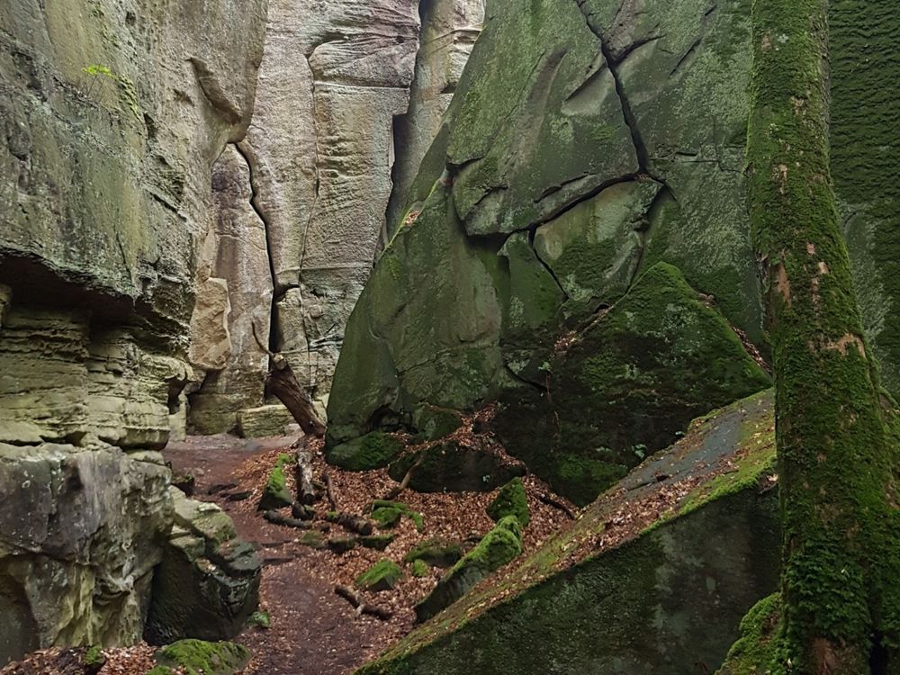
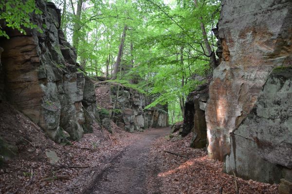
Spectacular rock formations and hiking along a picturesque brook make this trail an absolute highlight.

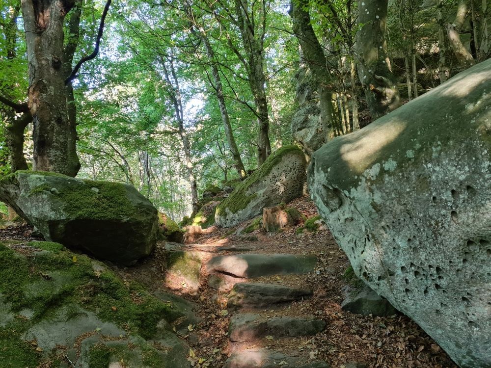
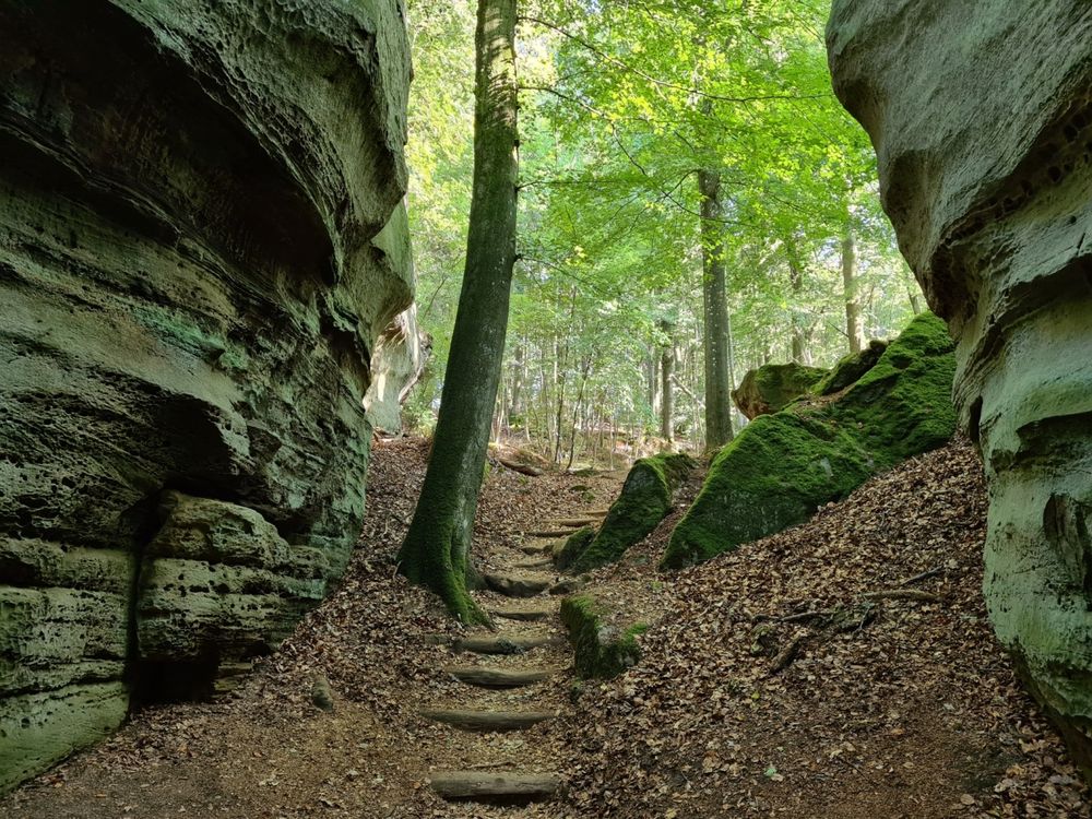
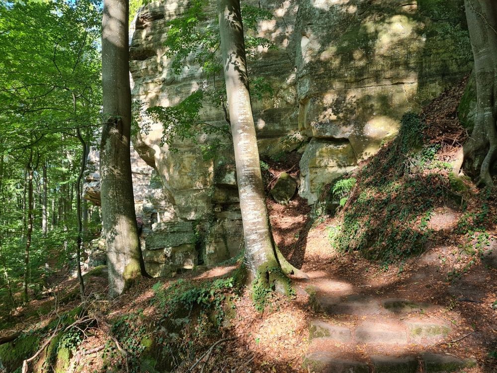
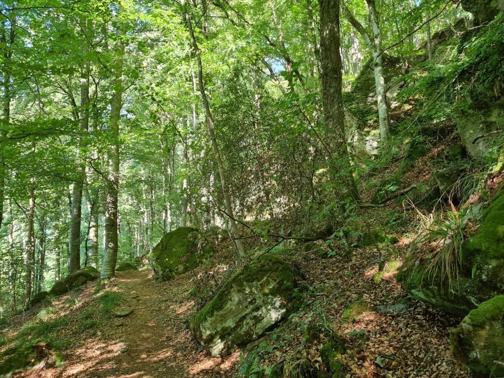
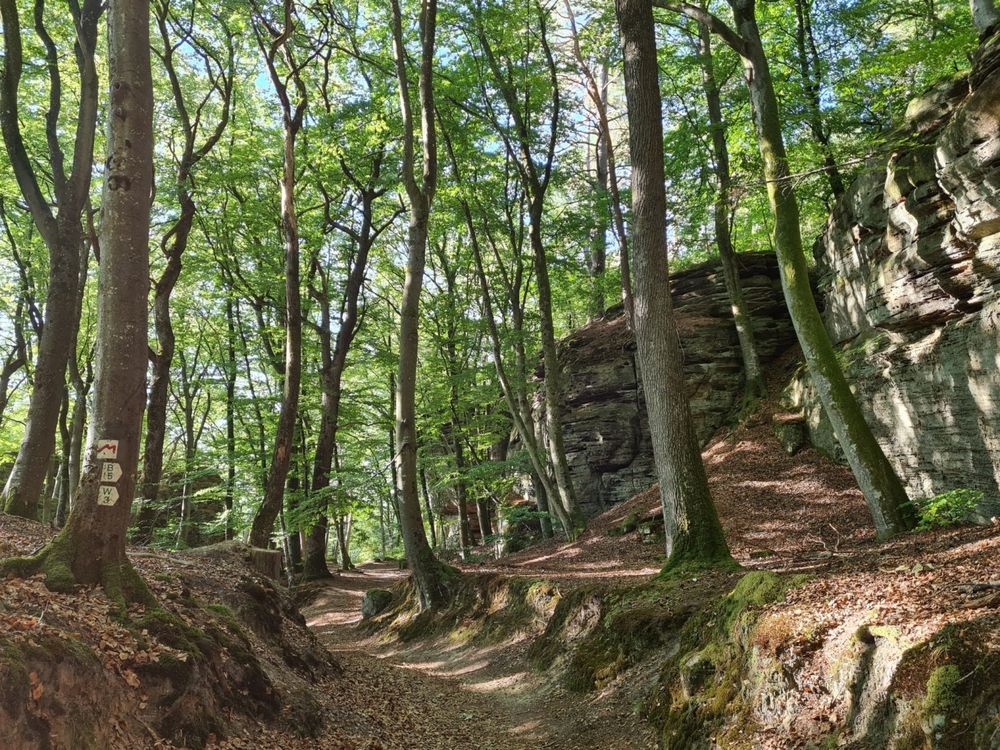
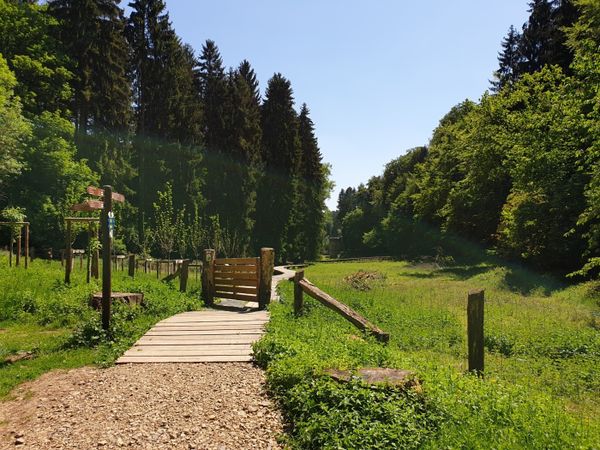
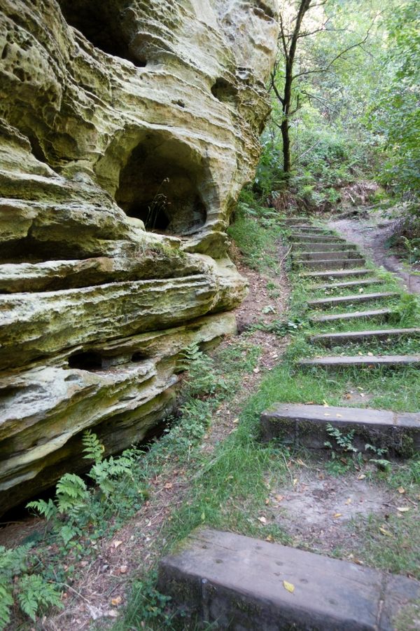
Let’s start in Mullerthal at Touristcenter Heringer Millen! This hike leads you through the woods in direction of Berdorf over scenic slopes and past magical rocky formations.

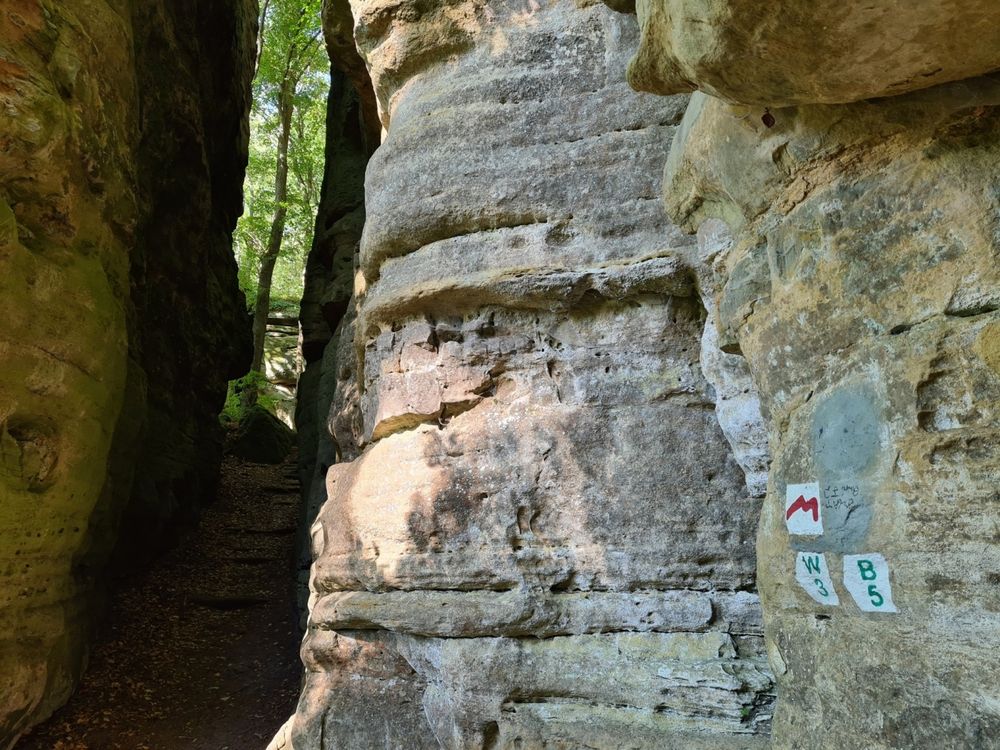
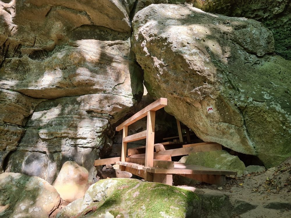
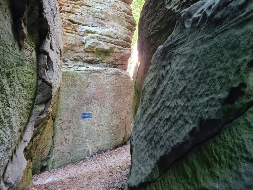
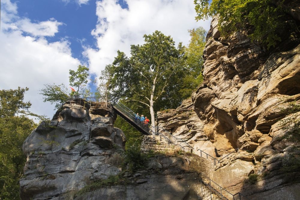
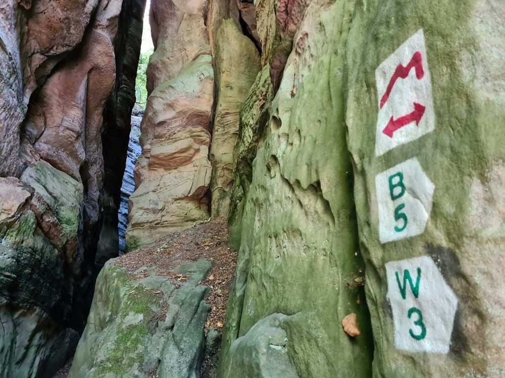
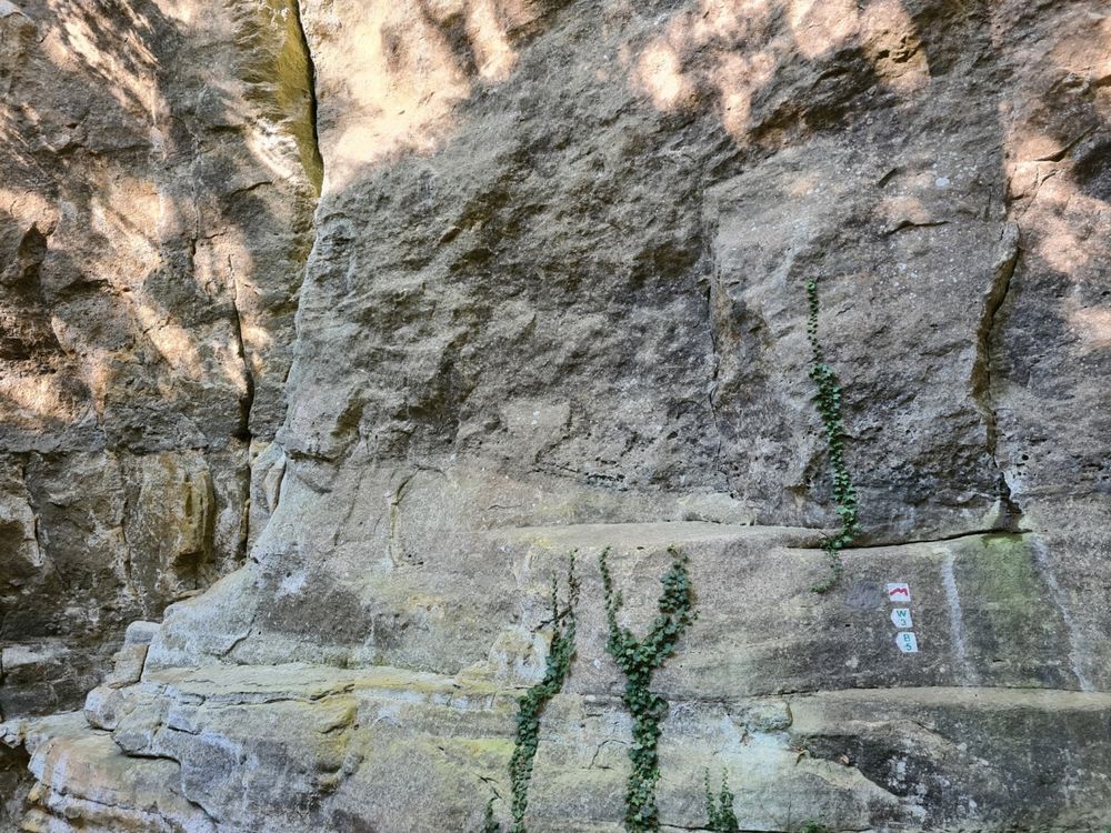
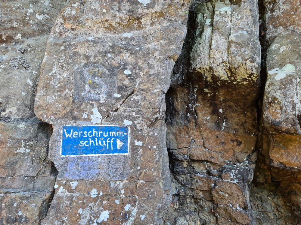
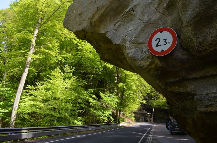
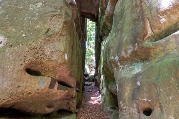
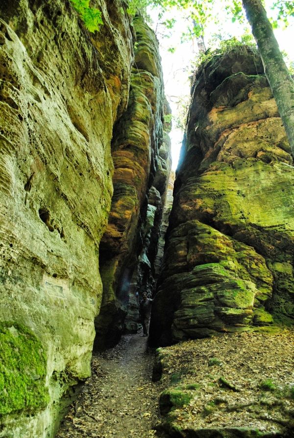
Make sure to explore the small corridors in the impressive stone walls surrounding Werschrummschlëff.  Next to it is the “Predigtstuhl”, a rocky formation hanging halfway across the main road to Berdorf. Through its labyrinth-like corridors on stairs carved into the rocks you can climb on top of “Predigtstuhl” and enjoy the view.

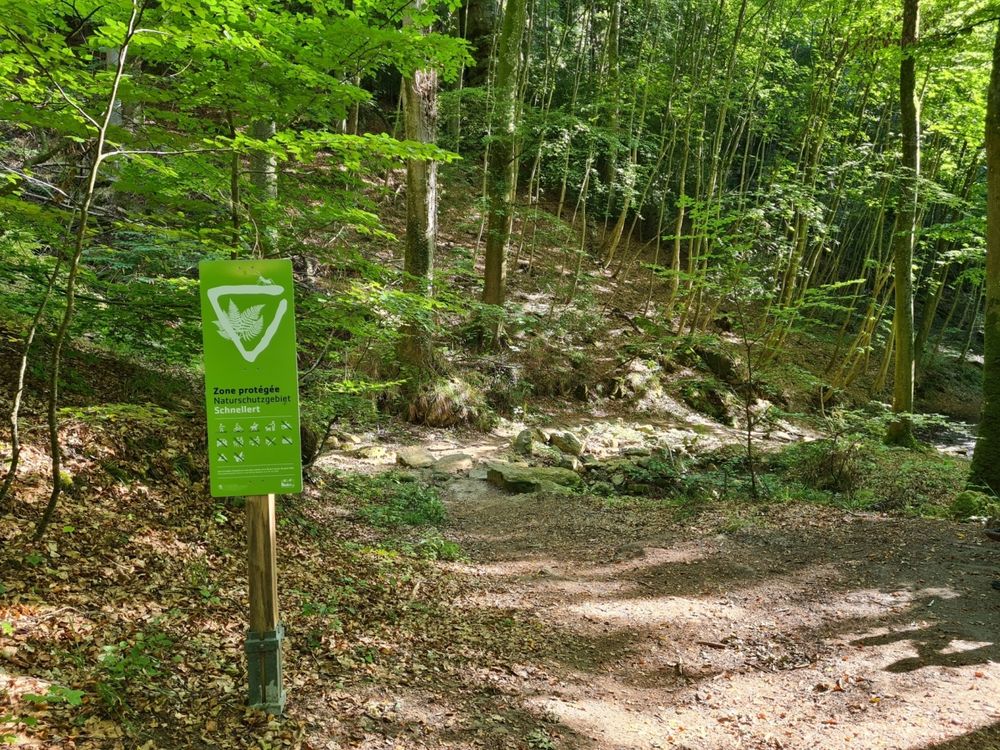
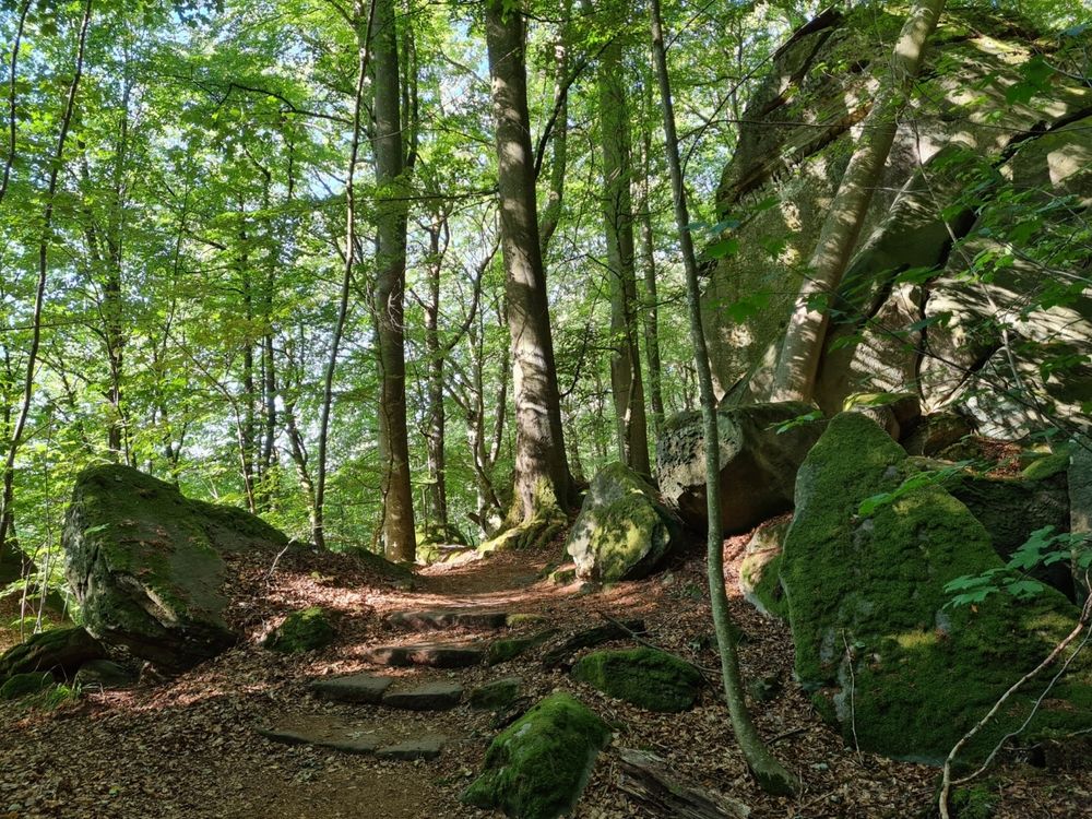
The way back leads you through the cool valley of the Black Ernz into the village of Mullerthal.
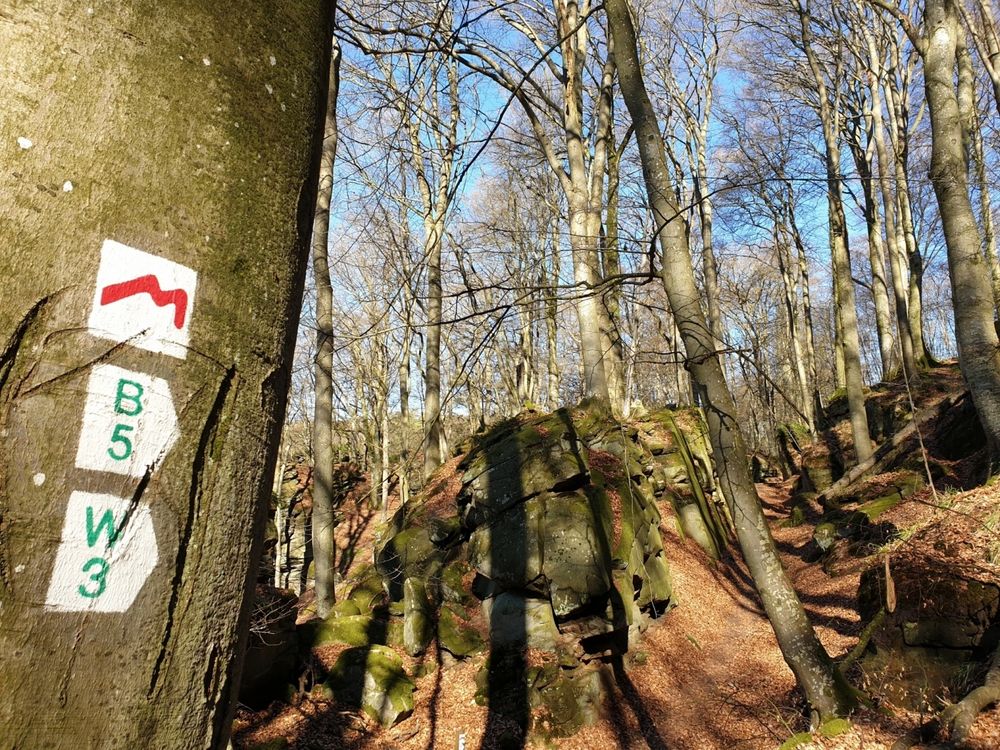
 

Suggestions nearby

Local hiking trail - W3

  • © Hotel Le Cigalon
    Hotel Le Cigalon
    Pets allowedGarden / ParkParkingWellnessWifiRestaurant
  • Parking - Touristcenter Heringer Millen
    Parking - Touristcenter Heringer Millen
    Find out more
  • Rock formation "Priedegtstull"
    The impressive rock overhangs the road and offers an impressive view.
    Find out more
  • © Hotel Restaurant Le Cigalon
    Restaurant Le Cigalon
    Restaurant Le Cigalon
    Find out more

Similar hiking tours


No image available
Circular routes
Auto-pédestre trail Bonnevoie
Distance: 7,87 km
Duration: 2:30 h
Difficulty: medium
Find out more
© dcastigl@pt.lu2019, Visit Luxembourg
Thematic paths
Fluchthelferweg (Nordroute) - Troisvierges
Distance: 12,88 km
Duration: 3:30 h
Difficulty: medium
Find out more
© Visit Luxembourg
Circular routes
Local hiking trail - B7
Distance: 11,57 km
Duration: 3:15 h
Difficulty: medium
Find out more
© Visit Luxembourg
Circular routes
Local hiking trail - C4
Distance: 6,75 km
Duration: 1:50 h
Difficulty: medium
Find out more
© Visit Luxembourg
Circular routes
Local hiking trail - B18
Distance: 4,36 km
Duration: 1:19 h
Difficulty: medium
Find out more
© Visit Luxembourg
Circular routes
Local hiking trail - C6
Distance: 5,88 km
Duration: 1:40 h
Difficulty: medium
Find out more
© Visit Luxembourg
Circular routes
Local hiking trail - B2
Distance: 4,14 km
Duration: 1:10 h
Difficulty: medium
Find out more
© ORTMPSL, ORTMPSL
Circular routes
Local hiking trail - B4
Distance: 6,13 km
Duration: 1:49 h
Difficulty: medium
Find out more
© © Claude Piscitelli / ONT, Visit Luxembourg
Thematic paths
Geological Trail - "Giele Botter"
Distance: 2,43 km
Duration: 0:45 h
Difficulty: medium
Find out more