© ORT MPSL, Visit Luxembourg
Müllerthal Germany France

Local hiking trail - R8

Starting point
Steinheim: Rue de la Montagne (Centre culturel "Fraihof")
Destination
Steinheim: Rue de la Montagne (Centre culturel "Fraihof")
Distance
8,72 km
Duration
2:32 h
Difficulty
medium
  • Condition
  • Technique
Highest point
364 Hm
Lowest point
154 Hm
Aggregated Ascent
230 Hm
Aggregated Descent
230 Hm
Circular routes Visit Luxembourg

Description

Refreshment stops available
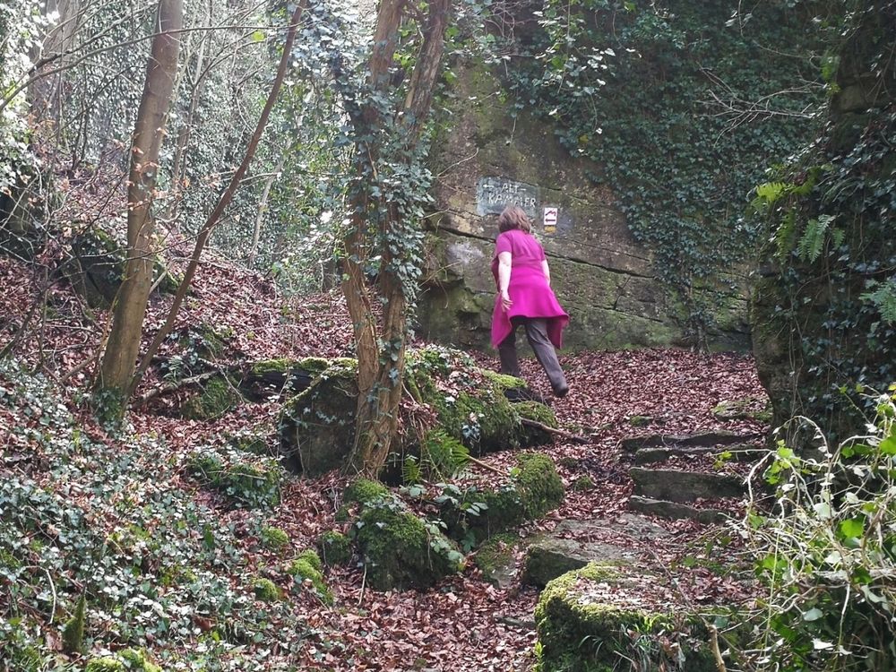
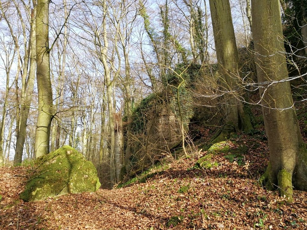
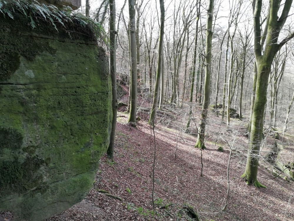
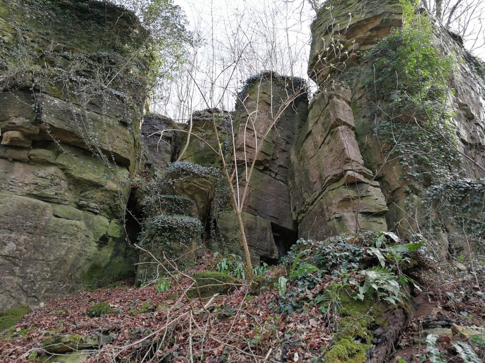
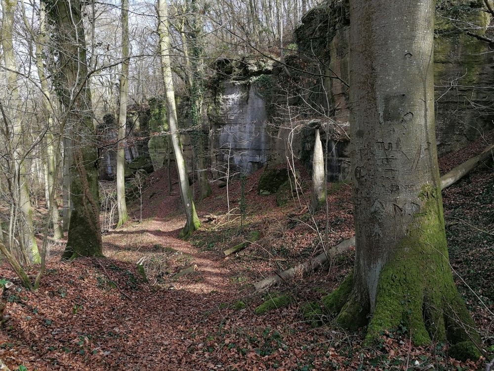
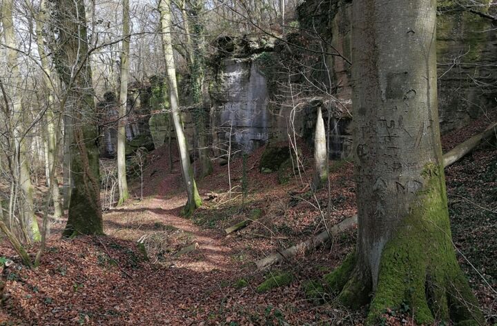
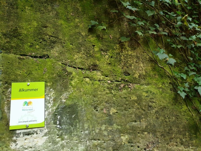
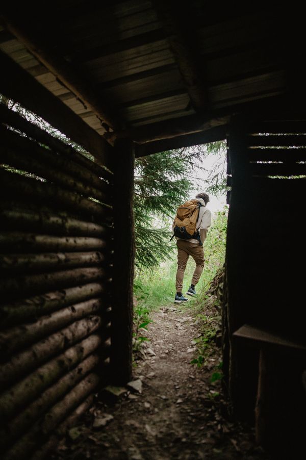
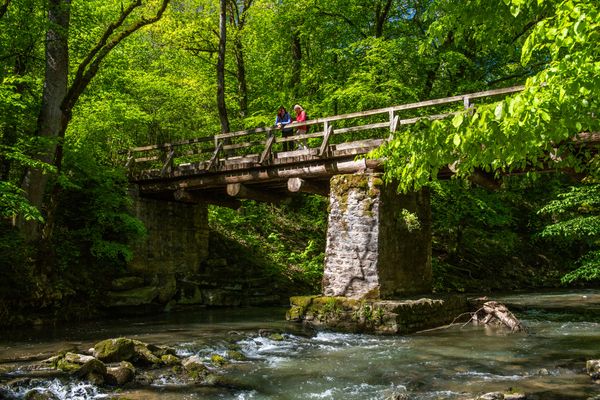
A varied tour with geological highlights, such as Alkummer. This is a rocky gorge with high walls making you feel like you are in a stone room.

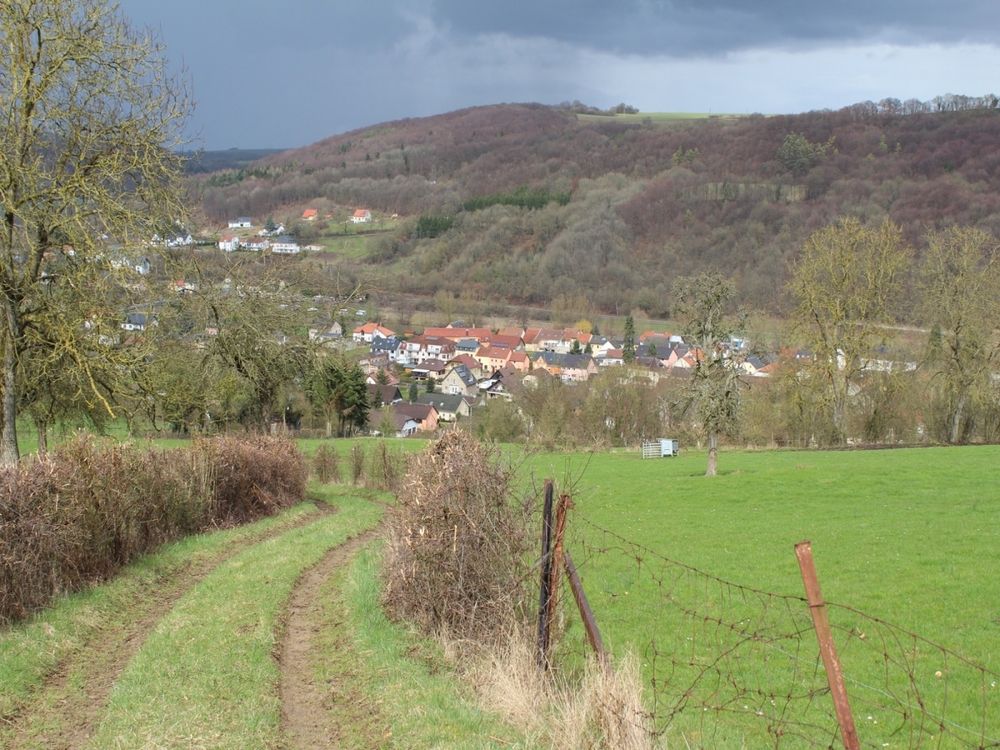
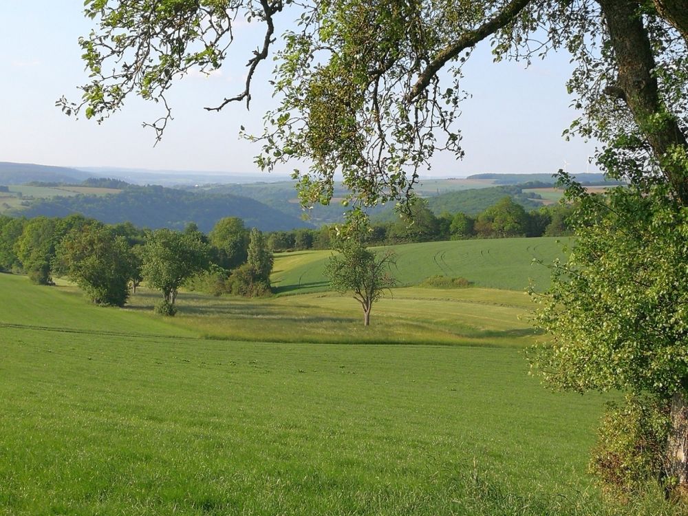
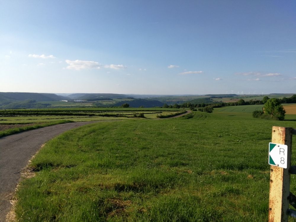
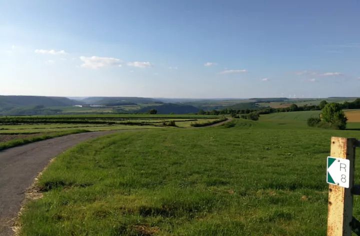
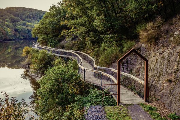
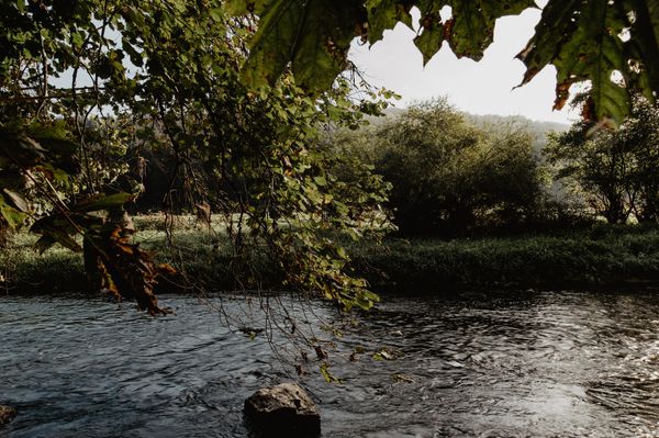
This track of 9 km offers nice views on the typical landscape of the lower Sûre valley. 

Right after the start, you will stroll through small paths used daily by the inhabitants of the village.  You will then enjoy great views on the valley of the Sûre.

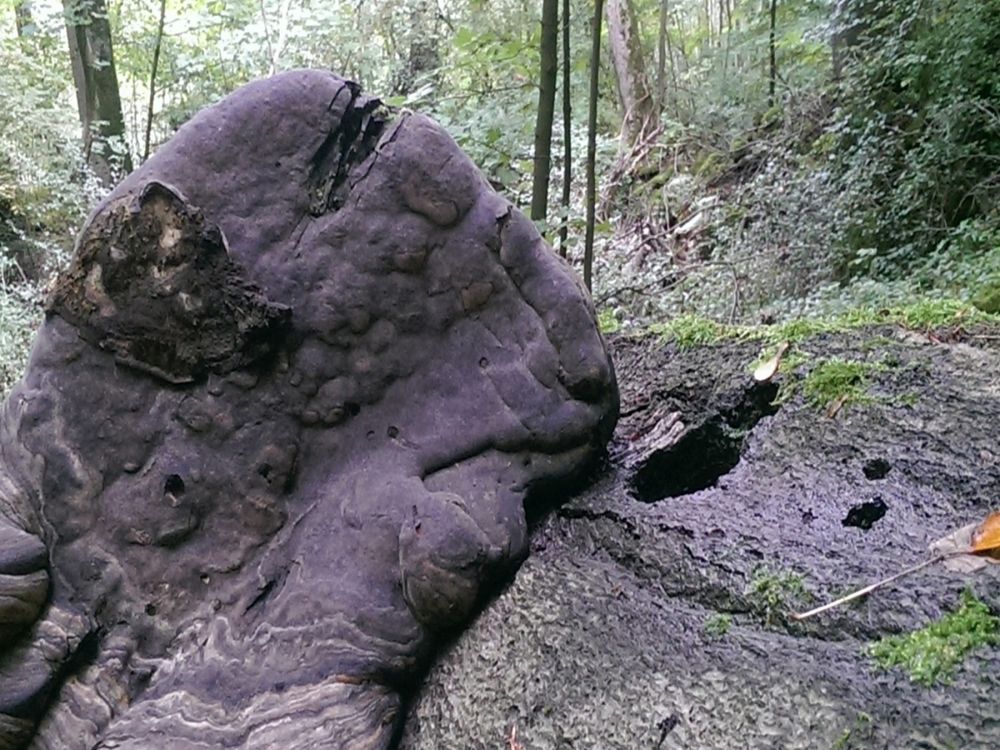
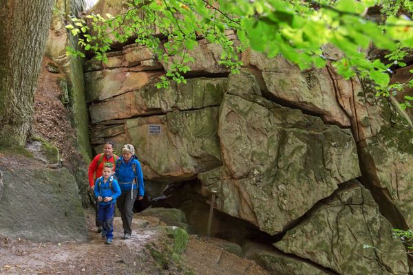
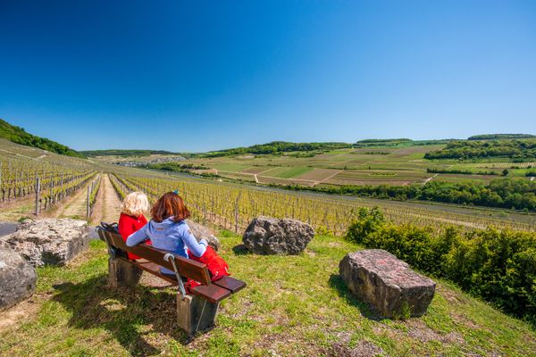
The highlight is a 360 degree view at the highest point of the hike.  Dolomite rocks, a dense beech forest and moss covered stones are other highlights of this tour.
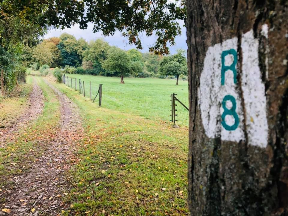
Suggestions nearby

Local hiking trail - R8

  • Rock formation "Alkummer"
    Impressive dolomite rock gorge on the local circular hiking trail R8 and on Mullerthal Trail Route 1.
    Find out more
  • Picnic area Steenemer Bierg
    Picnic area Steenemer Bierg
    Find out more

Similar hiking tours


No image available
Circular routes
Auto-pédestre trail Bonnevoie
Distance: 7,87 km
Duration: 2:30 h
Difficulty: medium
Find out more
© Visit Luxembourg
Thematic paths
Didactic path "Wanterbaach - Sieweschloeff"
Distance: 3,04 km
Duration: 1:30 h
Difficulty: medium
Find out more
© Visit Luxembourg
Thematic paths
Circular hiking trail through the Deweilskopp nature reserve
Distance: 8,50 km
Duration: 2:27 h
Difficulty: medium
Find out more
© Visit Éislek, Visit Éislek
Thematic paths
Ourdall Promenade
Distance: 8,78 km
Duration: 2:25 h
Difficulty: medium
Find out more
© Visit Éislek, Visit Éislek
NaturWanderPark Delux
NaturWanderPark delux - Circular walk Nat'Our Route 1
Distance: 14,07 km
Duration: 4:15 h
Difficulty: medium
Find out more
© Visit Luxembourg
Distance trails
Pilgrim Route - Way of St. James
Distance: 177,51 km
Duration: 46:50 h
Difficulty: medium
Find out more
© Visit Luxembourg
Distance trails
National hiking trail "Moselle"
Distance: 59,27 km
Duration: 16:50 h
Difficulty: medium
Find out more
© © Wanderbüro Saar-Hunsrück, Klaus-Peter Kappest, Visit Moselle
Dream loops
Traumschleife Manternacher Fiels
Distance: 9,57 km
Duration: 3:30 h
Difficulty: medium
Find out more
© © Wanderbüro Saar-Hunsrück, Klaus-Peter Kappest, Unknown
Dream loops
Traumschleife Wein- und Naturpfad Palmberg
Distance: 9,03 km
Duration: 2:50 h
Difficulty: medium
Find out more