© Visit Luxembourg
Mosel Germany France

National hiking trail "Moselle"

Distance
59,68 km
Duration
16:50 h
Difficulty
medium
  • Condition
Highest point
290 Hm
Lowest point
130 Hm
Aggregated Ascent
1975 Hm
Aggregated Descent
1964 Hm
Distance trails Visit Luxembourg

Description

National hiking trail "Moselle"

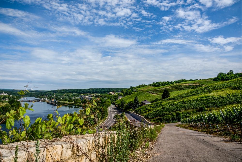
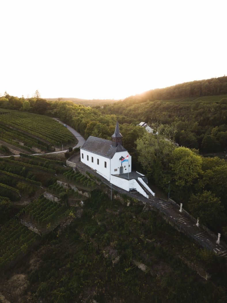
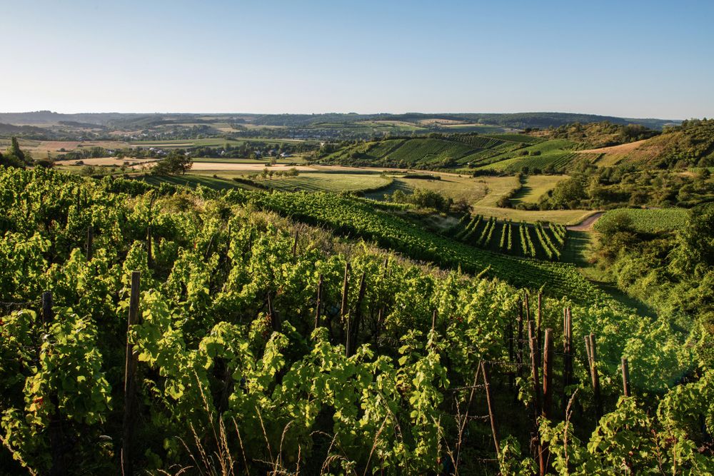
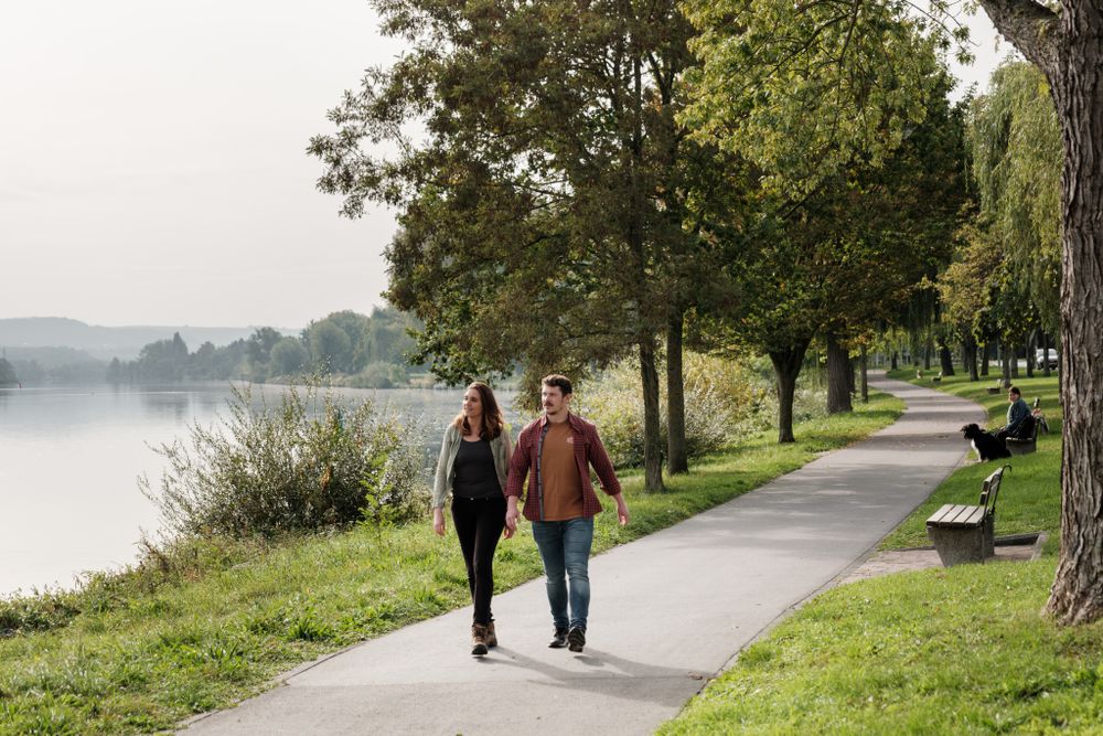
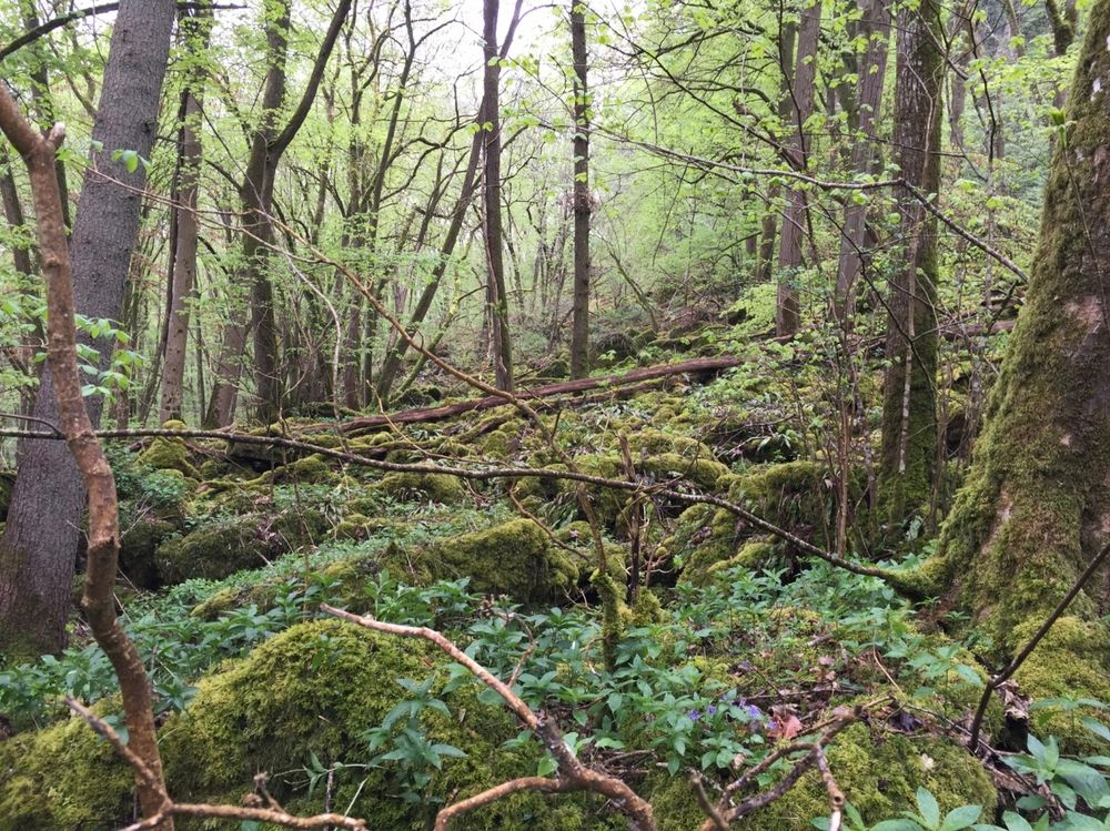
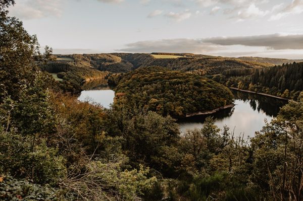
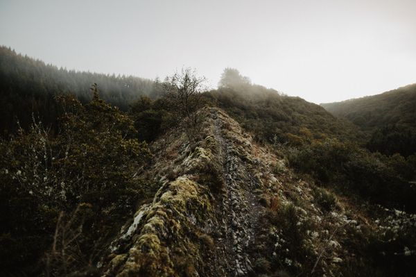
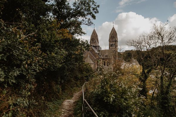
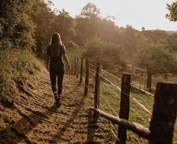
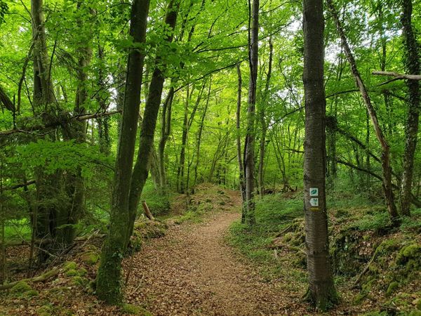
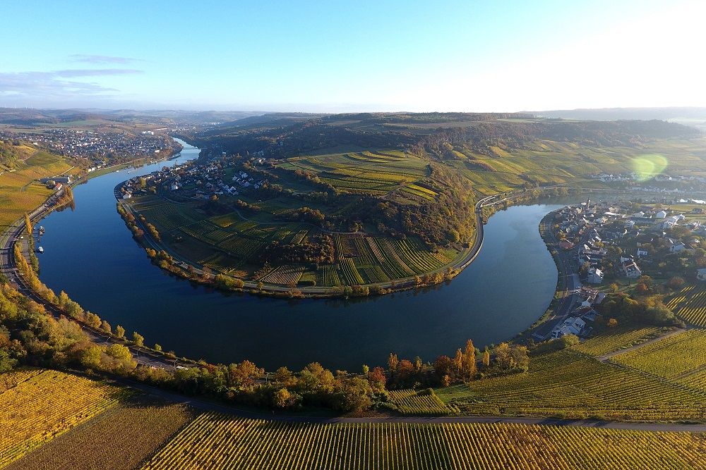
Along the Moselle Footpath you will discover some outstanding spots in a countryside rich in cultural diversity and a tradition which goes back thousands of years. Be enchanted by the beauty of sinuous paths traversing sun-soaked vineyards, experience the Mediterranean charm of picturesque winegrowing villages or quite simply savour the majestic view of one of the most beautiful river landscapes in Europe.
Suggestions nearby

National hiking trail "Moselle"

  • Wateradventures by Navitours
    Wateradventures - The new experience harbour in Remich Wateradventures guarantees fun and adventure! This novelty of the Moselle region offers families, friends, and groups the opportunity to experience unforgettable moments together. A boat rental service and other water activities in Remich: a unique opportunity in Luxembourg!
    Find out more
  • © Caves J. Leuck-Thull
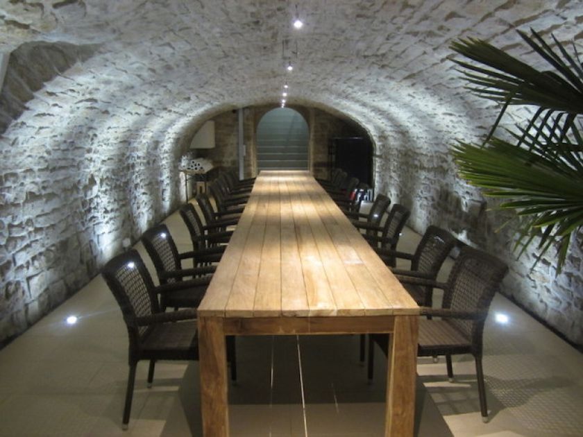
    Caves J. Leuck-Thull
    Caves J. Leuck-Thull
    Find out more
  • © Musée du Vin Ehnen
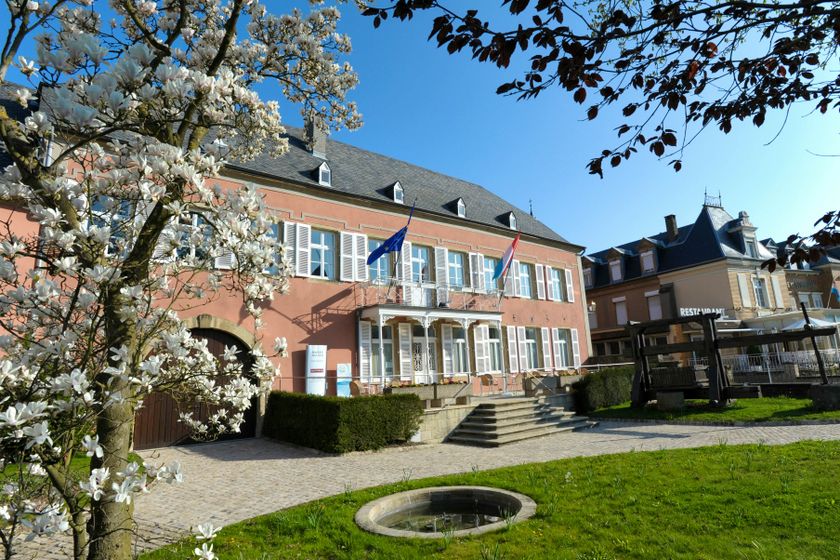
    Wäinhaus – under renovation
    Wäinhaus in Ehnen
    Find out more
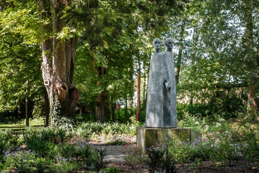
  • Mertert Parc
    Idyllic parc at the Moselle.
    Find out more

Similar hiking tours

© Visit Luxembourg
Distance trails
21 Station to station Bettembourg - Dudelange-Burange
Distance: 14,66 km
Duration: 3:45 h
Difficulty: medium
Find out more
© CFL, Visit Luxembourg
Distance trails
22 Station to Station Dudelange - Burange - Rumelange
Distance: 10,22 km
Duration: 3:05 h
Difficulty: medium
Find out more
© ORT Sud
Distance trails
23 Station to station Rumelange - Kayl
Distance: 12,57 km
Duration: 3:25 h
Difficulty: medium
Find out more
© Visit Luxembourg
Distance trails
25 Station to station Kayl - Schifflange - Esch-sur-Alzette
Distance: 21,71 km
Duration: 6:05 h
Difficulty: medium
Find out more
© Pulsa Pictures, ORT SUD
Distance trails
26 Station to station Esch-sur-Alzette - Belvaux-Soleuvre
Distance: 9,05 km
Duration: 2:30 h
Difficulty: medium
Find out more
© Visit Luxembourg
Distance trails
27 Station to station Belvaux-Soleuvre-Oberkorn
Distance: 5,20 km
Duration: 1:25 h
Difficulty: medium
Find out more
© ORT Sud
Distance trails
28 Station to station Oberkorn - Niederkorn
Distance: 8,69 km
Duration: 2:25 h
Difficulty: medium
Find out more
© ORT Sud
Distance trails
29 Station to station Niederkorn - Rodange
Distance: 10,12 km
Duration: 2:55 h
Difficulty: medium
Find out more
© Visit Luxembourg
Distance trails
30 Station to station Oberkorn - Fond de Gras - Rodange
Distance: 17,78 km
Duration: 5:00 h
Difficulty: medium
Find out more