Description
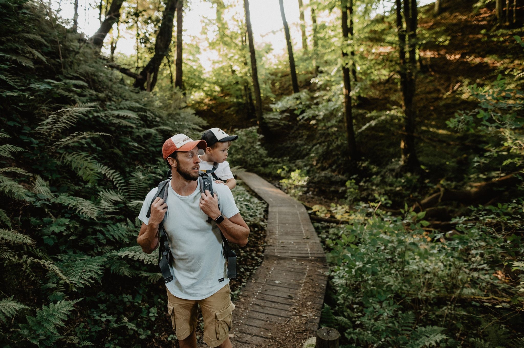
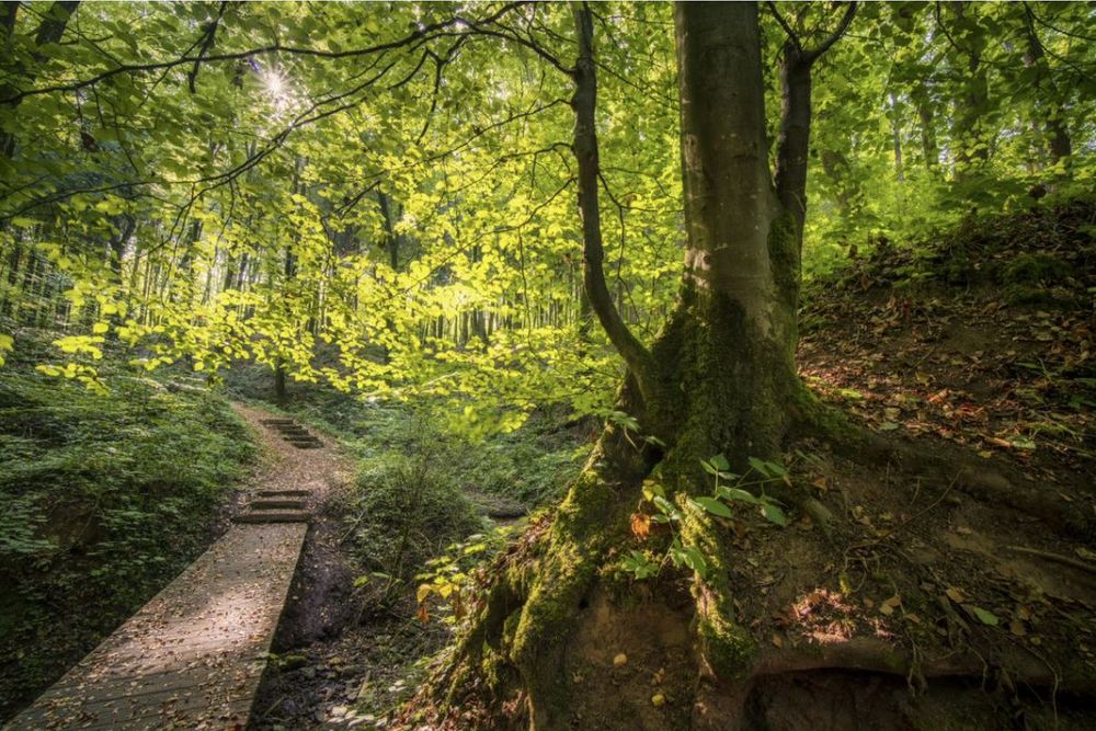
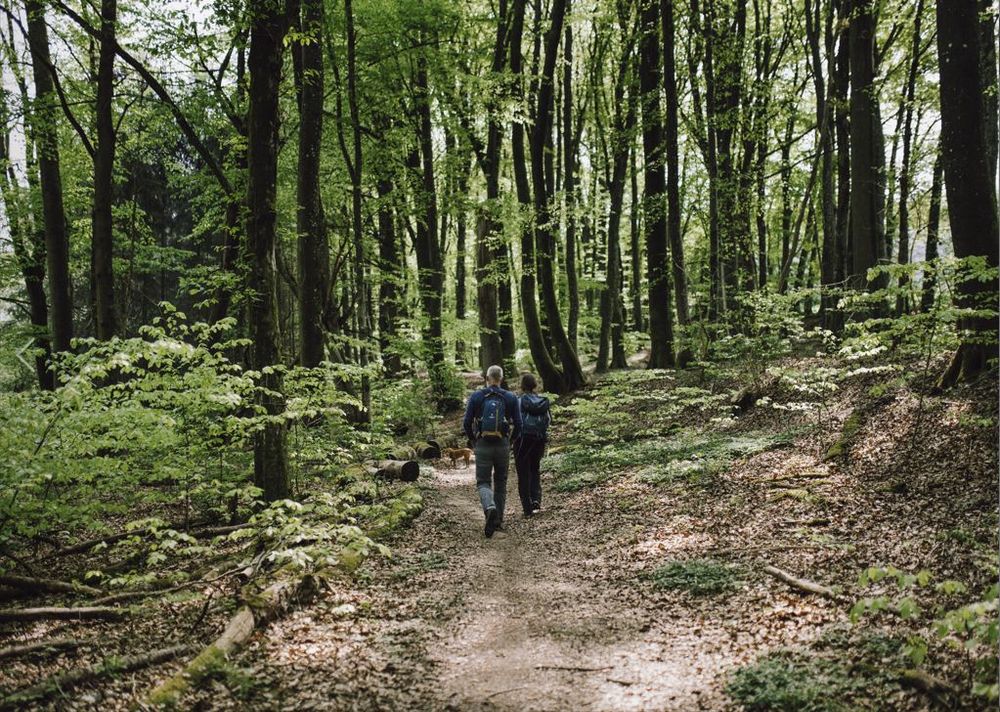
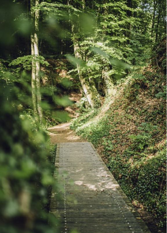
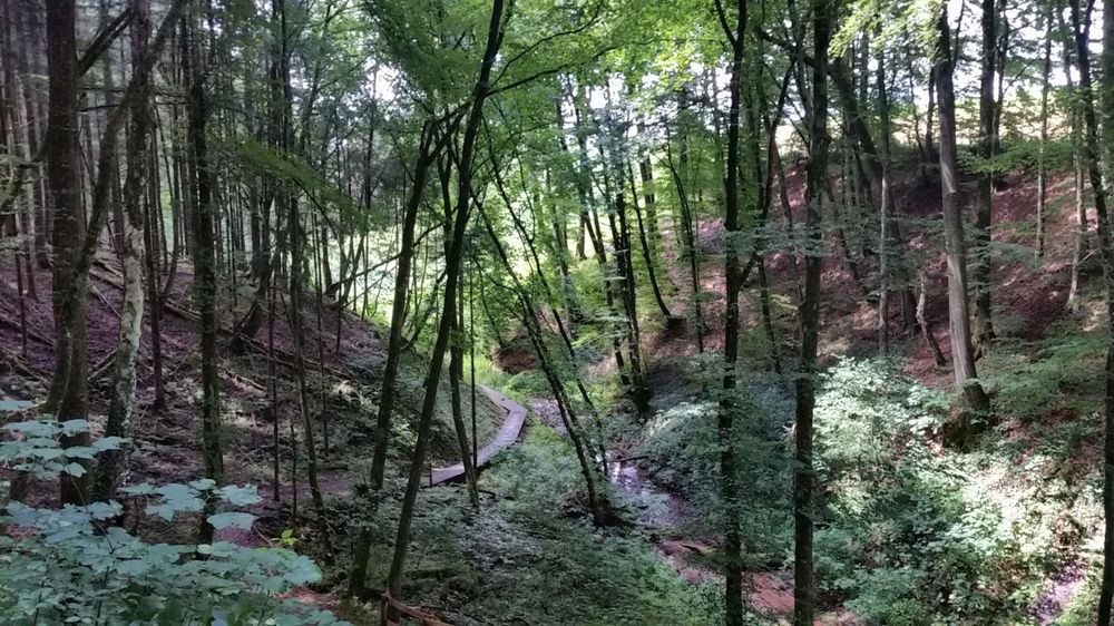
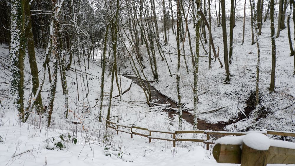
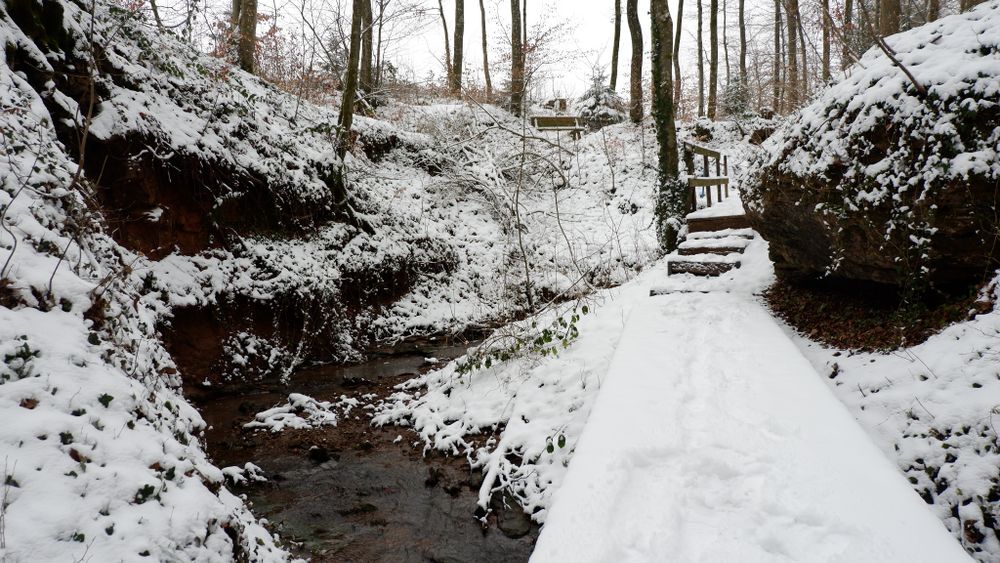
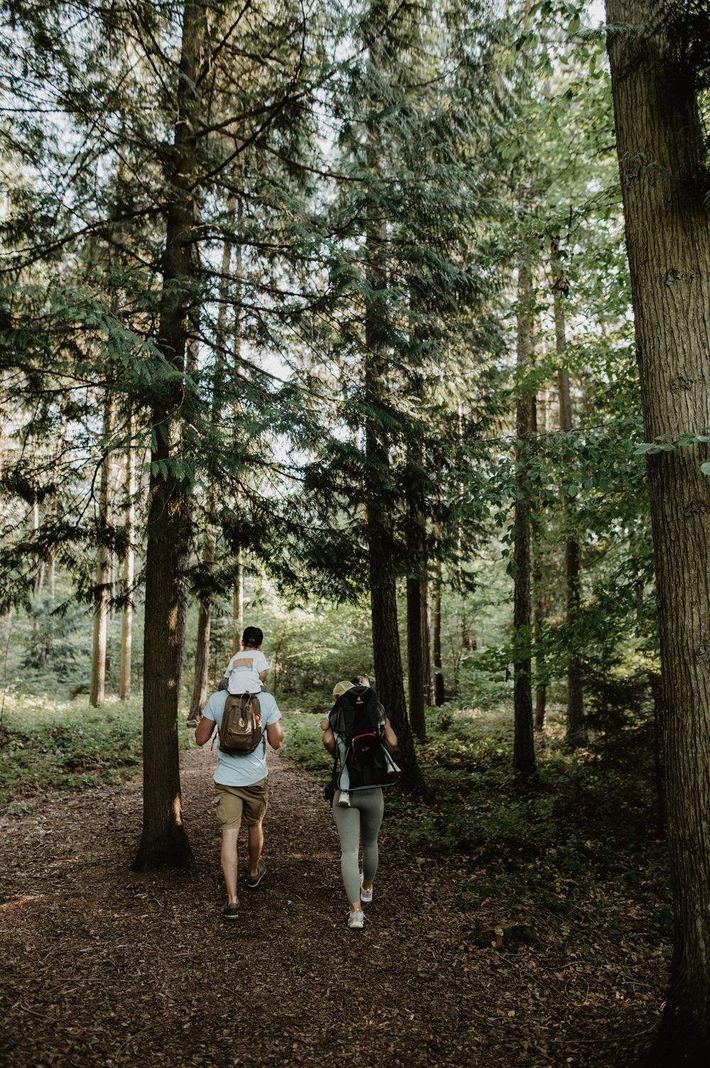
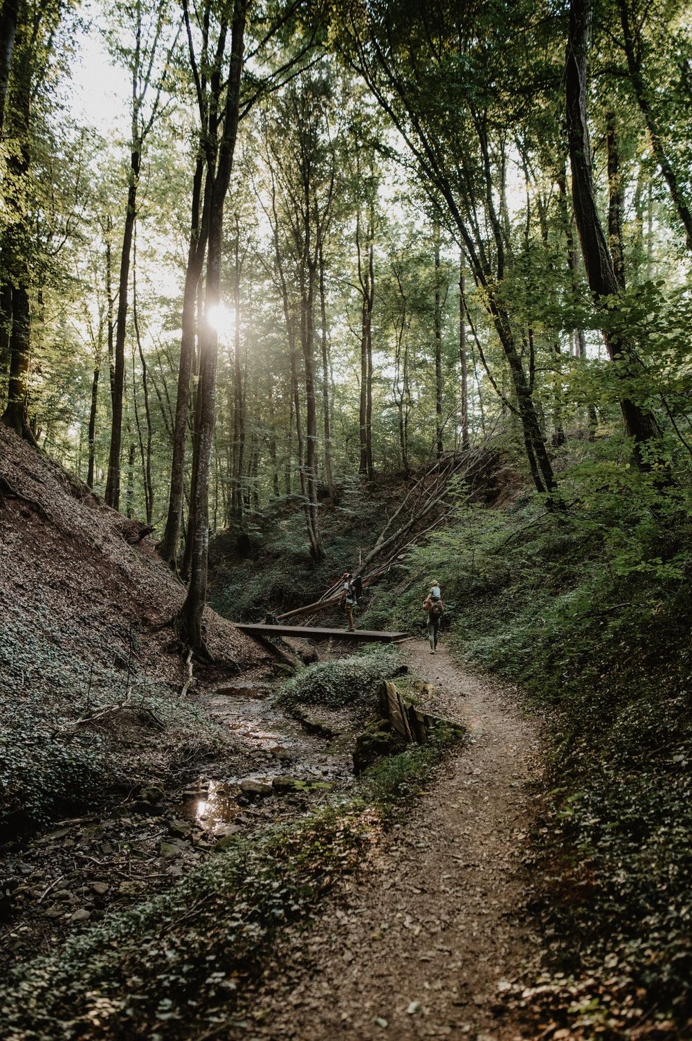
Little ponds, bark mulch paths, a stream winding through the mysterious Schankegriecht valley, numerous narrow wooden bridges, the peace of nature … the perfect place to relax and recharge your batteries!
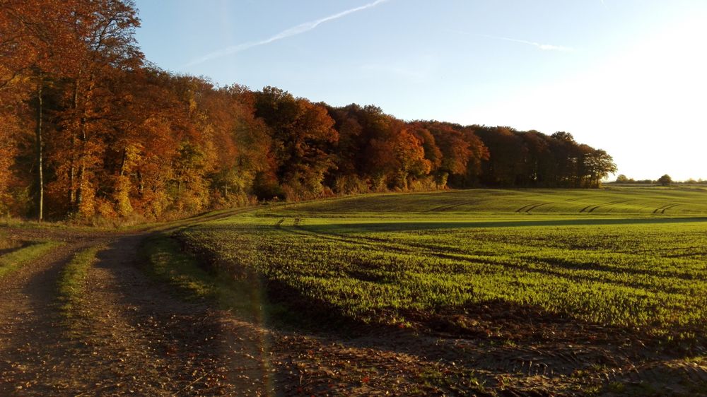
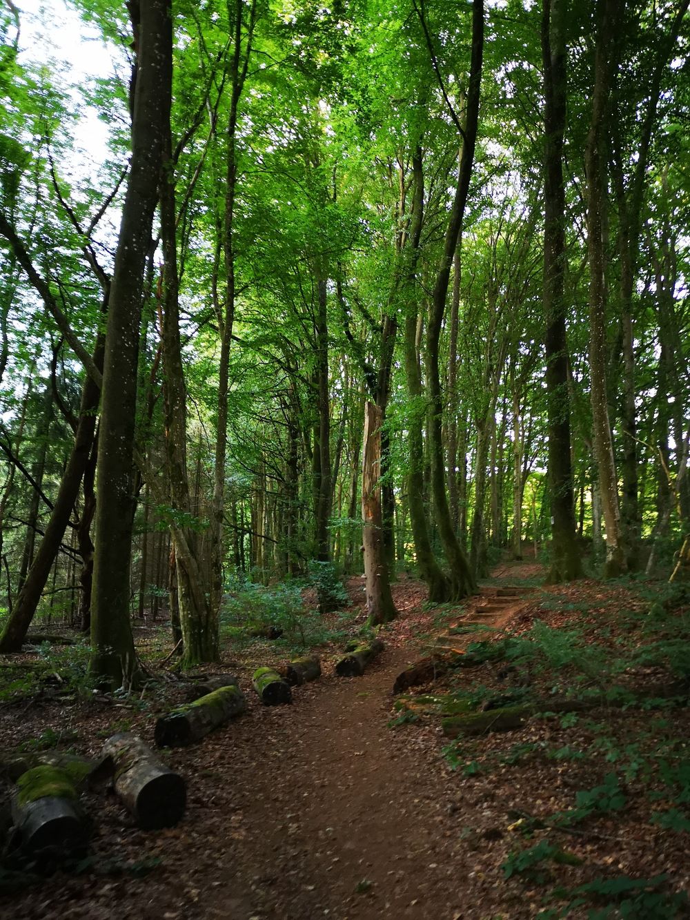
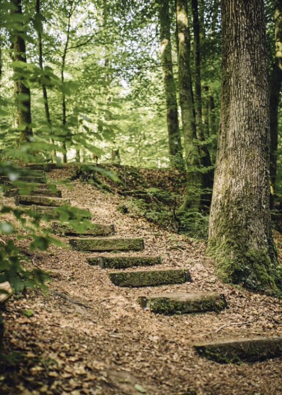
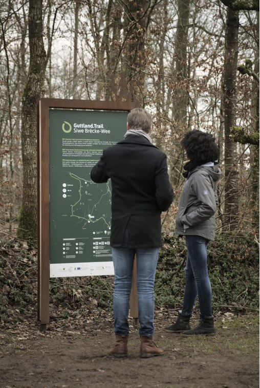
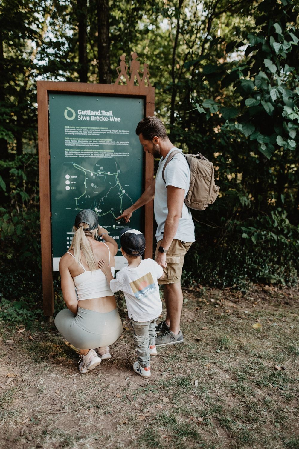
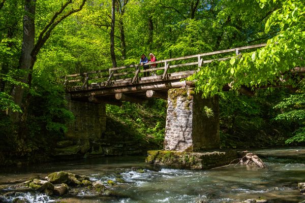
The five-kilometre Guttland.Trail begins in Reimberg at the 19th-century St Roch Chapel. The dirt path at the beginning of the trail leads through a beautiful quiet forest with some clearings. The highlight of the tour is definitely the valley of the "Schankegriecht". A valley that takes its name from the legend of the "Schankemännchen", a "little bone man" who is said to have frightened the inhabitants of surrounding villages at night. Along a stream, past imposing rocky landscapes, wooden bridges and natural paths wind their way. Finally, the forest clears and the hiker faces wide fields and meadows in a gently rolling landscape, which offers picturesque views of the rural life of Guttland.

Directions
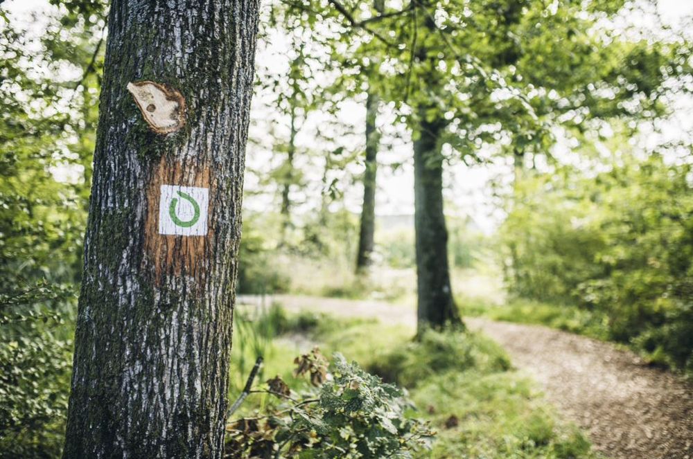
The hiking trail is marked in both walking directions. Please follow the white-green waymarks.
For your safety
Weather conditions such as wetness, ice and wind can make a tour difficult. The information given refers to optimal conditions.
Equipment
Sturdy footwear is recommended. Remember to bring enough drinking water.
Journey
Public transport: Bus stop 'Reimberg'. Can be reached by bus from Luxembourg City.Several bus lines. Visit the website www.mobiliteit.lu for timetables and more detailed information.
Getting there:
Parking:
Free car park at the start of the Guttland.Trail, which is located right next to the St. Rochus Chapel. There is a public WC and a tap with drinking water at the car park itself.


 This website uses technology and content from the Outdooractive Platform.