Luxembourg Hiking
Hunting Season 2025/26 — Check for hunts
Autumn is here, and that means hunting season has begun! From mid-October to January/February, hunters are active across the country. Stay safe by checking hunt dates in your area on our Map.
Click on Map in the Header > Services > More > Hunting.
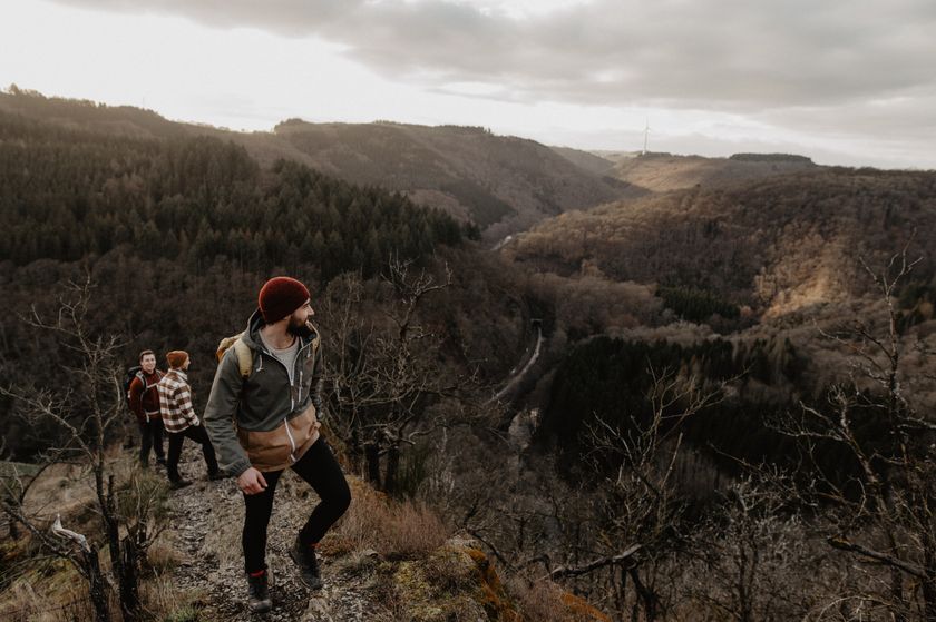
Dirbach©Jeniska Photography Hiking map
pdf | 5.60 MBDownload - Hiking map | pdf | 5.60 MBThe foldable hiking map includes a geographic orientation of the country’s walking trails as well as useful information about the activity. It provides an overview of the main hiking offer in Luxembourg, with guidance on where to find more specific information. One map in four languages (DE, FR, EN, NL).
Hiking trails in Luxembourg
34 results
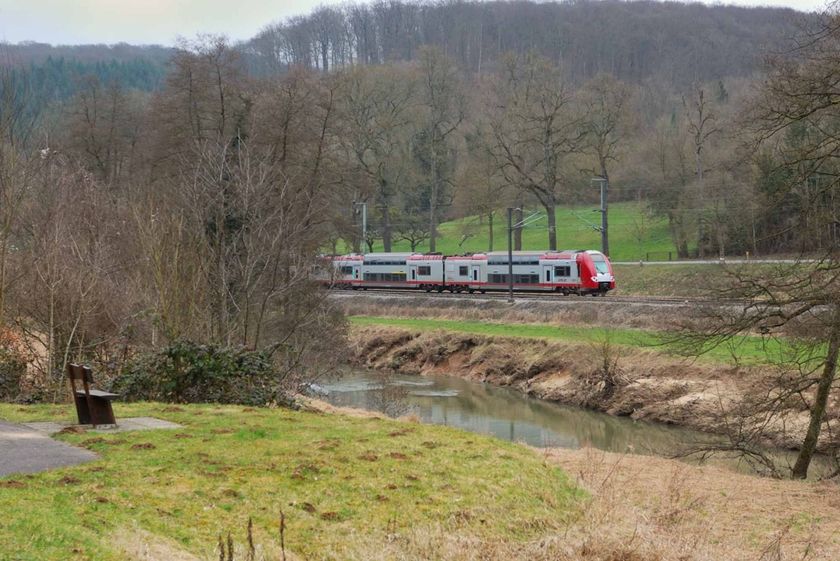
©Claude Piscitelli, Visit Luxembourg Distance trails24 CFL hiking trails from station to station : Belvaux-Soleuvre - Belval-Université
Distance: 4,17 kmFind out more
Duration: 1:05 h
Difficulty: easy©CFL, Visit Luxembourg Distance trails32 CFL hiking routes from station to station: Bascharage-Sanem - Dippach-Reckange
Distance: 10,14 kmFind out more
Duration: 2:40 h
Difficulty: medium©Visit Luxembourg Distance trails42 Station to station Betzdorf - Manternach
Distance: 7,40 kmFind out more
Duration: 1:50 h
Difficulty: easy
No image availableDistance trails36 CFL hiking trails from station to station : Leudelange - Mamer Lycée - Mamer
Distance: 10,96 kmFind out more
Duration: 2:45 h
Difficulty: easy©ORT Sud Distance trails27 CFL hiking trails from station to station : Belvaux-Soleuvre-Oberkorn
Distance: 5,20 kmFind out more
Duration: 1:25 h
Difficulty: medium©CFL, Visit Luxembourg Distance trails34 CFL hiking trails from station to station : Pétange - Kleinbettingen
Distance: 16,23 kmFind out more
Duration: 4:10 h
Difficulty: medium©Visit Luxembourg Distance trailsScenicCFL-Bahnwanderweg 13 (Colmar-Berg - Mersch)
Distance: 10,42 kmFind out more
Duration: 2:45 h
Difficulty: medium©Visit Luxembourg Distance trailsScenicCFL-Bahnwanderweg 3 (Clervaux - Drauffelt)
Distance: 6,76 kmFind out more
Duration: 2:05 h
Difficulty: medium©Visit Luxembourg Distance trails21 CFL hiking trails from station to station : Bettembourg - Dudelange-Burange
Distance: 14,68 kmFind out more
Duration: 3:50 h
Difficulty: difficult©Visit Luxembourg Distance trailsScenicCFL-Bahnwanderweg 9 (Goebelsmühle - Michelau)
Distance: 8,06 kmFind out more
Duration: 2:40 h
Difficulty: medium
