Mullerthal © Pancake! Photographie

Éislek © Jochem de Jong
Luxembourg Hiking
Dirbach © Jeniska PhotographyHiking map
pdf | 5.60 MBDownload - Hiking map | pdf | 5.60 MBThe foldable hiking map includes a geographic orientation of the country’s walking trails as well as useful information about the activity. It provides an overview of the main hiking offer in Luxembourg, with guidance on where to find more specific information. One map in four languages (DE, FR, EN, NL).

Hiking trails in Luxembourg
583 results
- © Visit LuxembourgCircular routesScenic
Auto-Pédestre trail Binsfeld
Distance: 8,68 kmFind out more
Duration: 2:30 h
Difficulty: medium - © ORT SUDCircular routes
Esch: Sentier Norbert Theis Trail – 7km
Distance: 7,98 kmFind out more
Duration: 2:15 h
Difficulty: easy - © V. G., Visit GuttlandGuttland.TrailsKids & Family Scenic Dog-friendly
Guttland.Trail Bildchen
Distance: 6,12 kmFind out more
Duration: 2:05 h
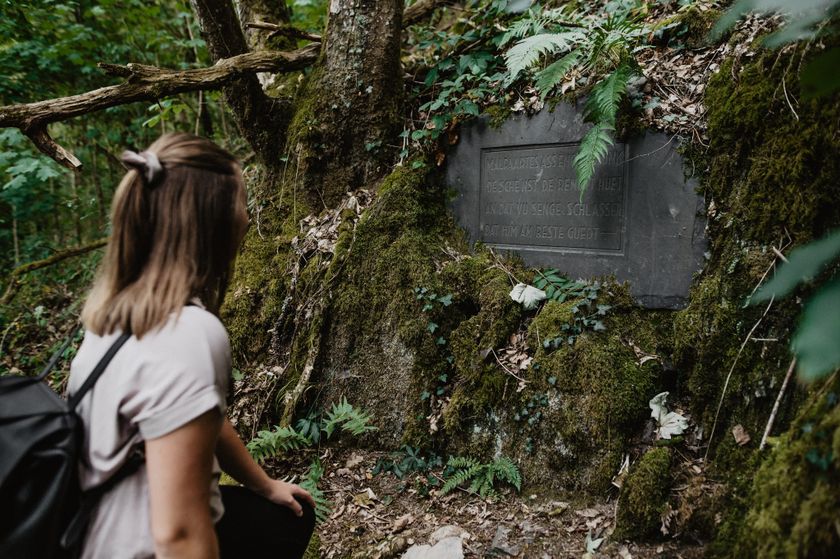
Difficulty: medium - © Visit LuxembourgThematic pathsScenic
Malpaartes
Distance: 3,93 kmFind out more
Duration: 1:20 h
Difficulty: medium - © Pancake! Photographie, Visit LuxembourgMullerthal Trail - Leading Quality Trails - Best of EuropeScenic
Mullerthal Trail Route 1
Distance: 36,74 kmFind out more
Duration: 10:25 h
Difficulty: medium - © Visit Éislek, Visit ÉislekCircular routesScenic
Local hiking trail WI 2 - Eschweiler Halte
Distance: 5,35 kmFind out more
Duration: 1:35 h
Difficulty: easy - © Ville d'EschCircular routes
Esch: Gaalgebierg - 4 km
Distance: 4,72 kmFind out more
Duration: 1:00 h - © Visit LuxembourgCircular routesKids & Family Scenic Dog-friendly
Local hiking trail - E6
Distance: 7,54 kmFind out more
Duration: 2:15 h
Difficulty: medium - © Visit Éislek, Visit ÉislekCircular routesScenic
Local hiking trail RB 7 - Arsdorf
Distance: 9,79 kmFind out more
Duration: 2:50 h
Difficulty: medium - © Visit Éislek, Visit ÉislekCircular routesScenic
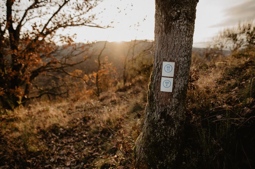
Local hiking trail GO 2 - Goesdorf
Distance: 7,72 kmFind out more
Duration: 2:20 h
Difficulty: medium