Description
Attention : liaison entre Rosport et Echternach fermée jusqu'au 28 février !
The approximately 112 km long Mullerthal Trail consists of three loops (Route 1, Route 2, and Route 3).
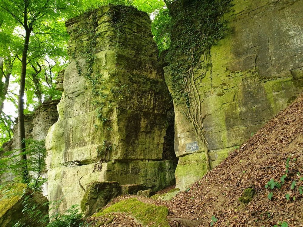
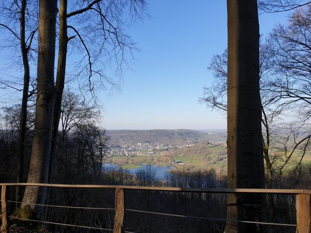
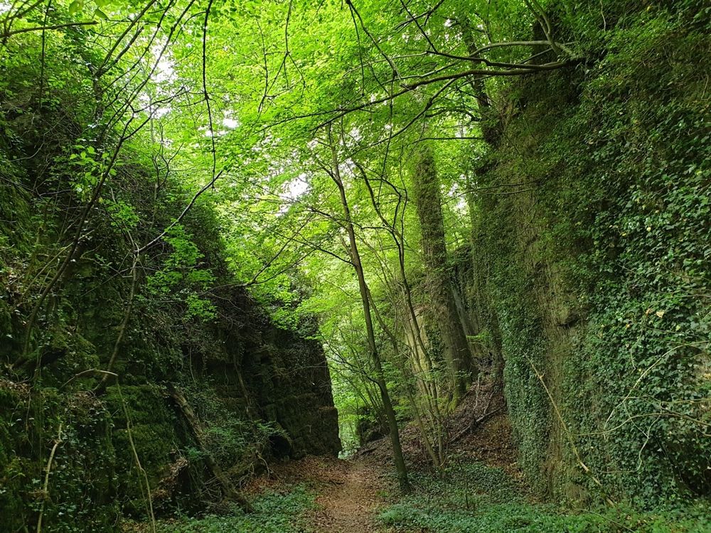
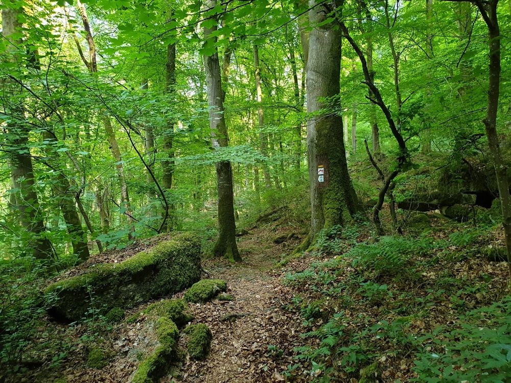
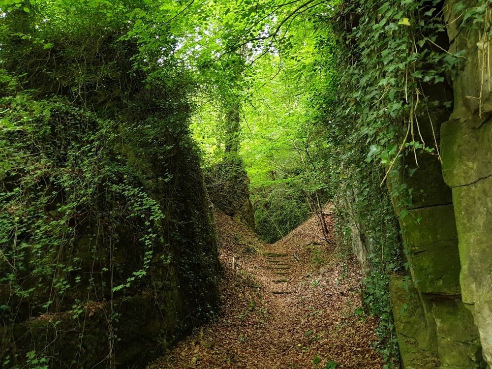
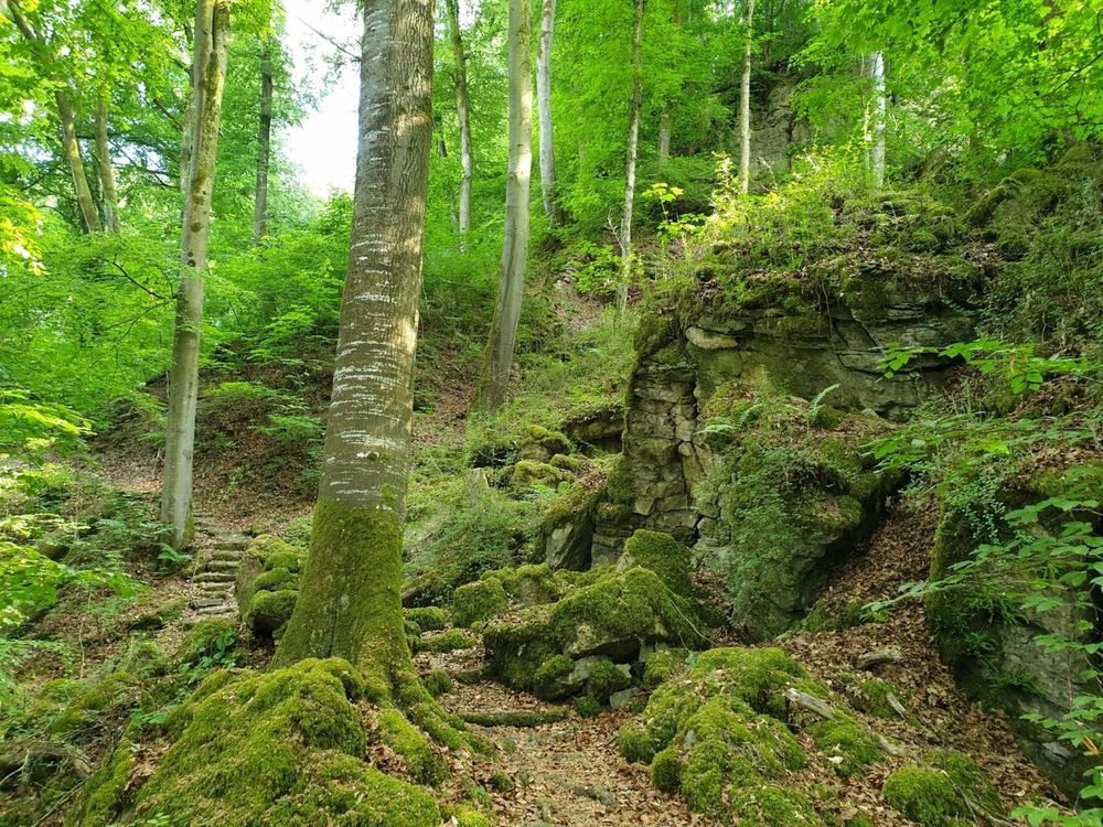
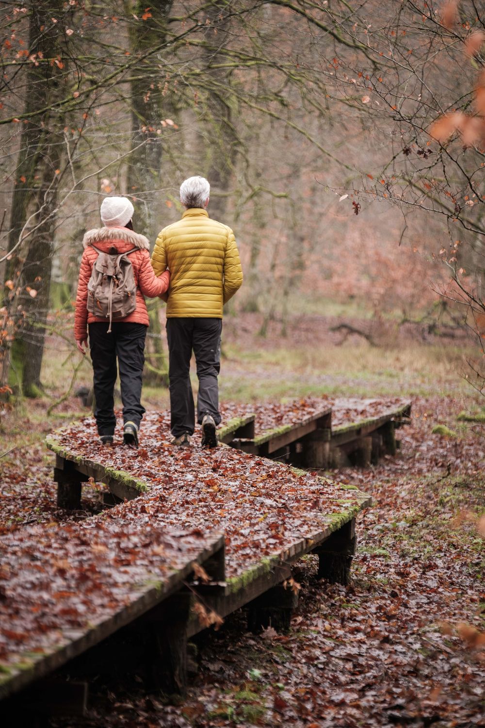
Route 1 of the Mullerthal Trail can be completed in 2 day stages. It offers variety between enchanting forest sections with rock formations, views into the Sauer valley, and stretches through open land with orchard meadows characteristic of the region.
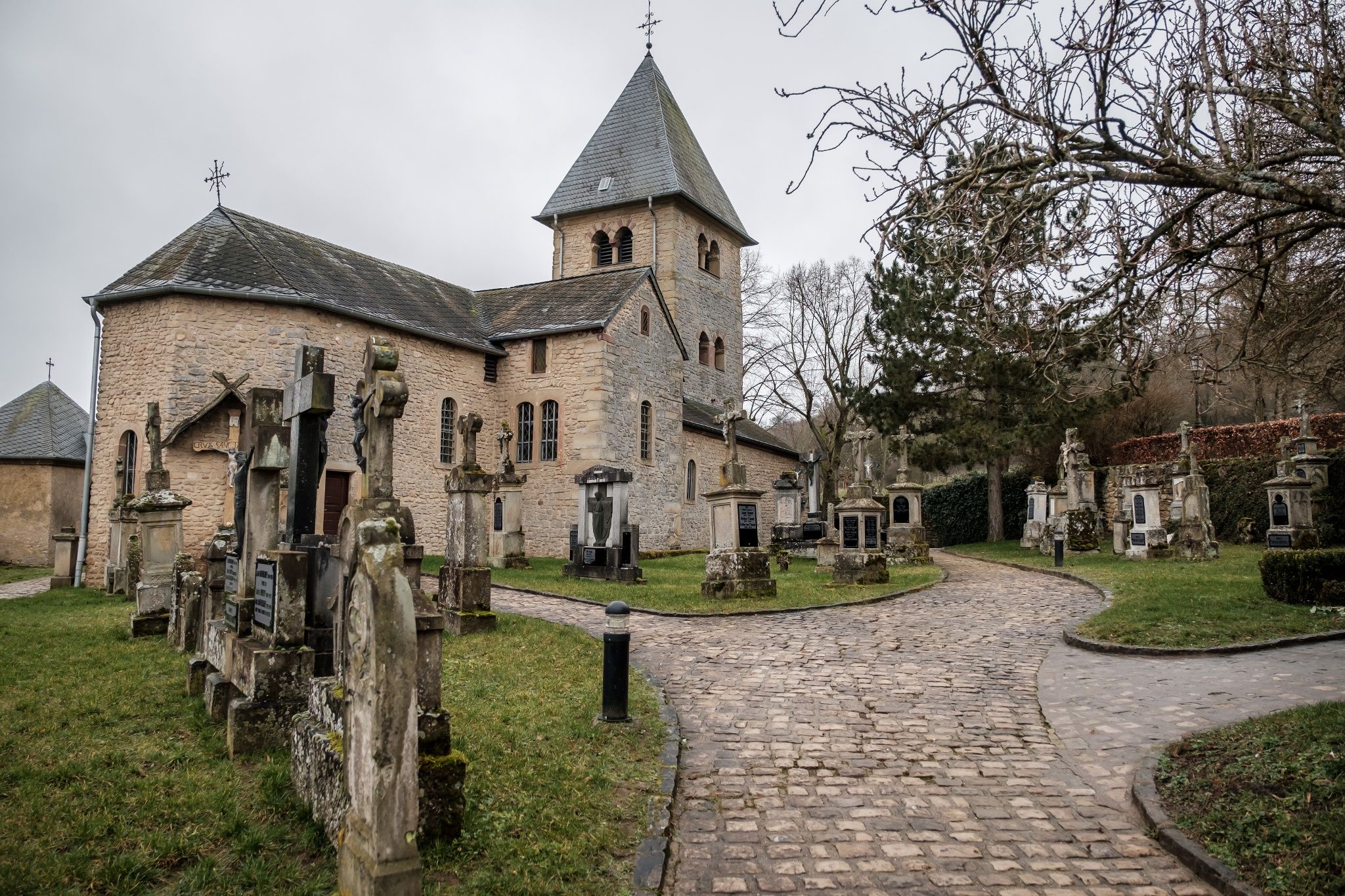
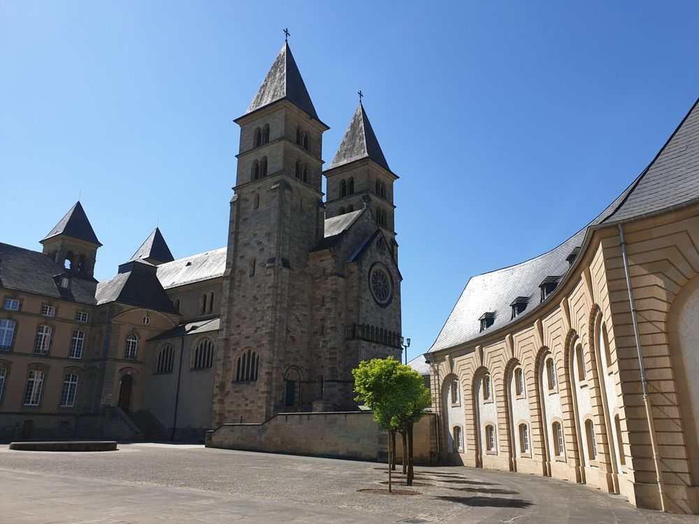
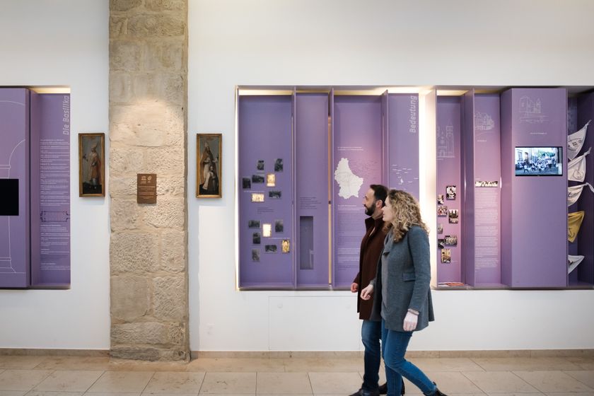
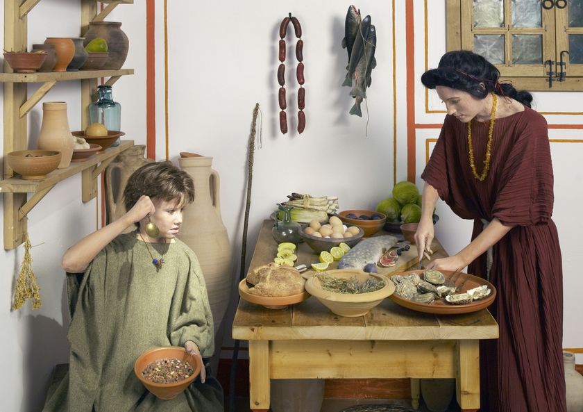
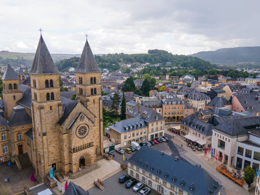
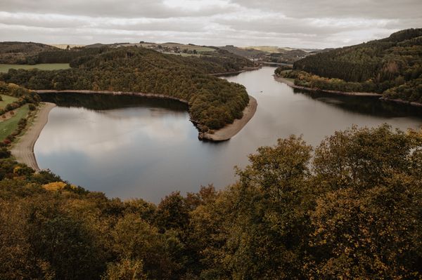
Besides the landscapes, Route 1's highlights include the town of Echternach – the cultural and tourist center of the region with the well-known Saint Willibrord Basilica and the historic old town – the pilgrimage chapel Girsterklaus with its old, picturesque cemetery, and Echternach Lake with its numerous recreational and refreshment options.

Directions
An ideal starting point for Route 1 is Echternach, the cultural and tourist center of the region. In addition to the well-known Saint Willibrord Basilica, the abbey, and the historic old town, Echternach offers numerous other sights. Shops, bistros, and cafés also invite you to browse and linger. A wide range of accommodations and restaurants ensures a pleasant stay in the town.
From Echternach, you can start the hike on the Mullerthal Trail towards Untersauer (direction Rosport). There are also entry points in other nearby towns such as Rosport, Moersdorf, Mompach, or Herborn.
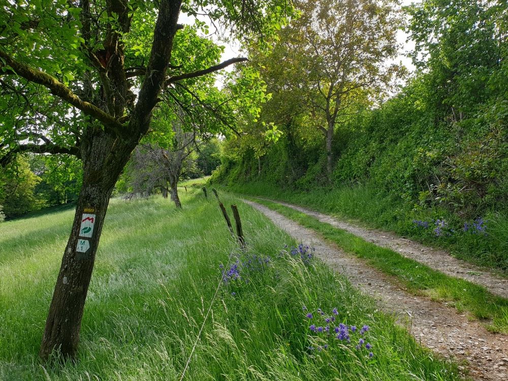
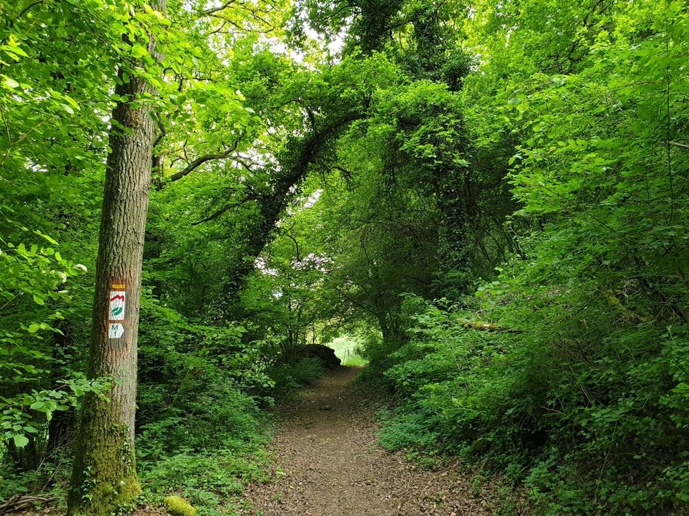
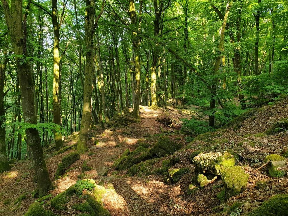
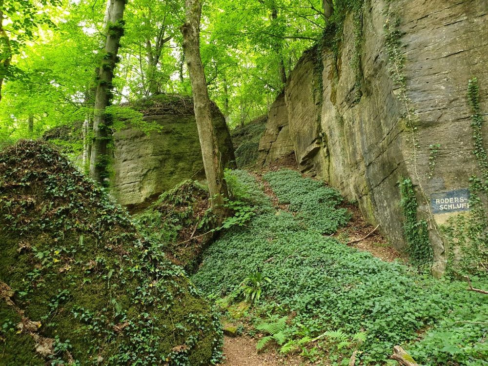
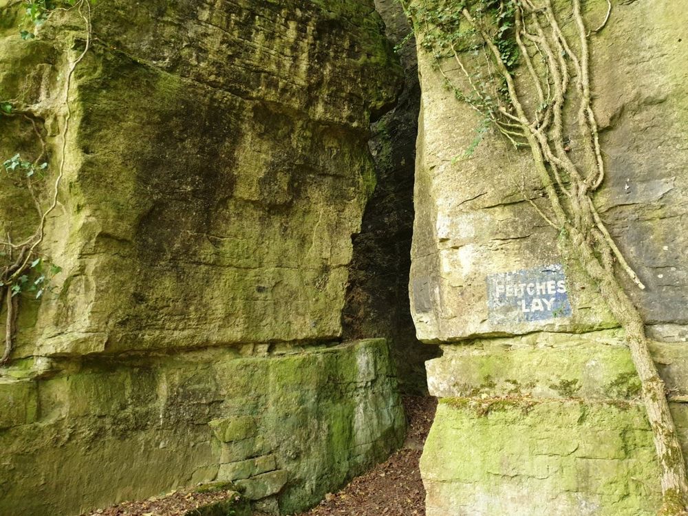
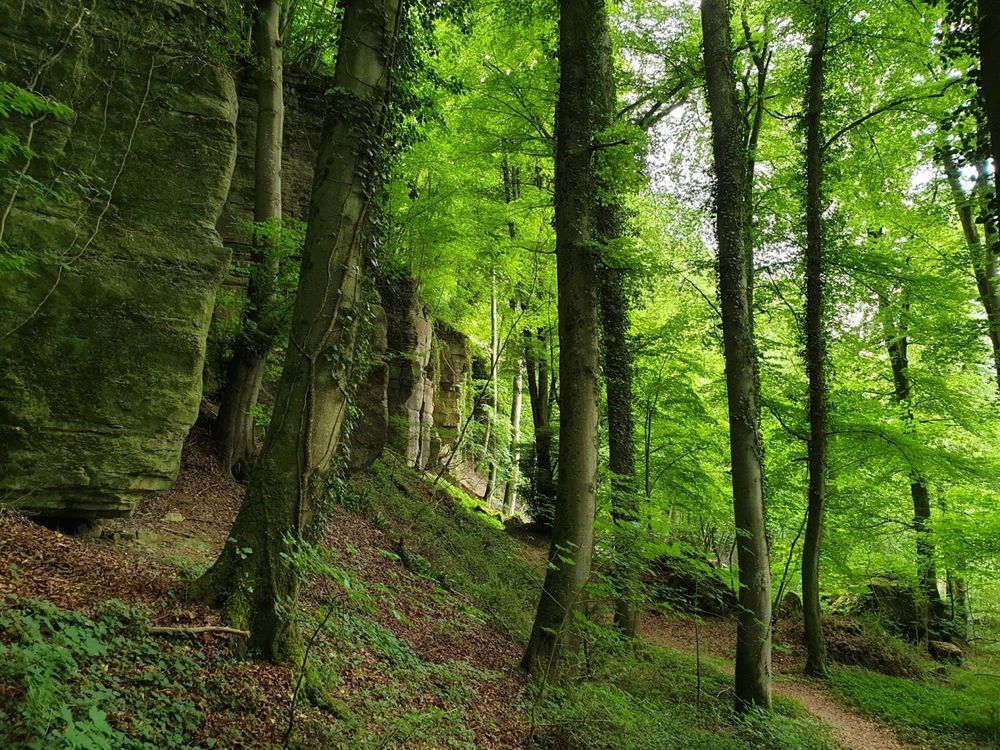
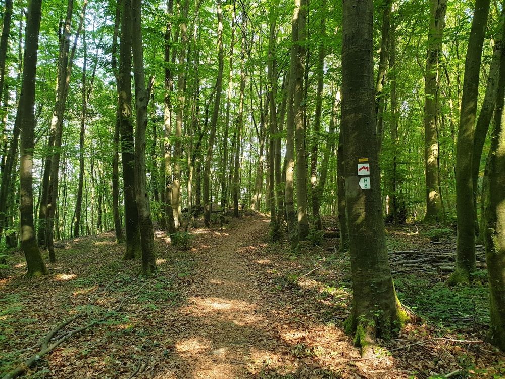
On the hike towards Untersauer, the path initially runs along the Sauer, the border river to Germany, then shortly after Echternach turns right into the forest. The route first passes through woodland, past impressive rock formations. Above the village of Steinheim, you enter open meadows with beautiful views of the valley before the path leads into an enchanting forest section again before the next village (Rosport). In Rosport, the Mullerthal Trail runs directly past the Tudor Castle, which invites visitors to tour the museum housed there. There are places to rest both in Steinheim and Rosport.
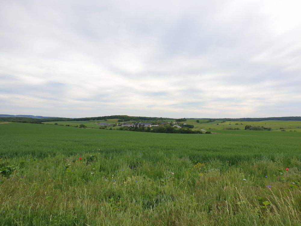
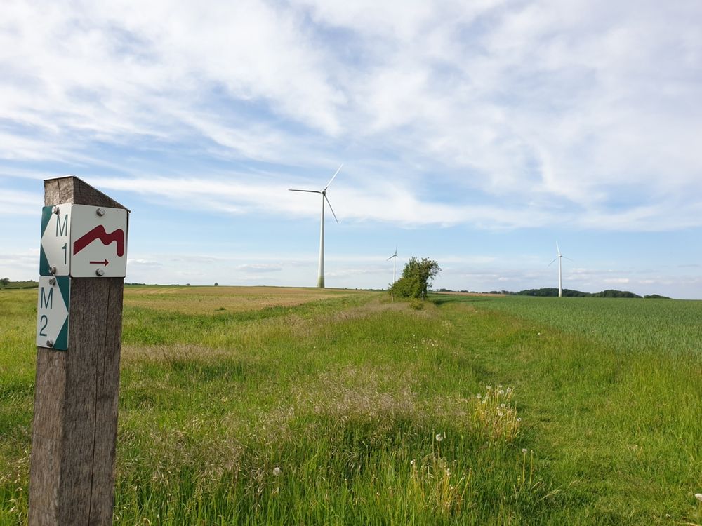
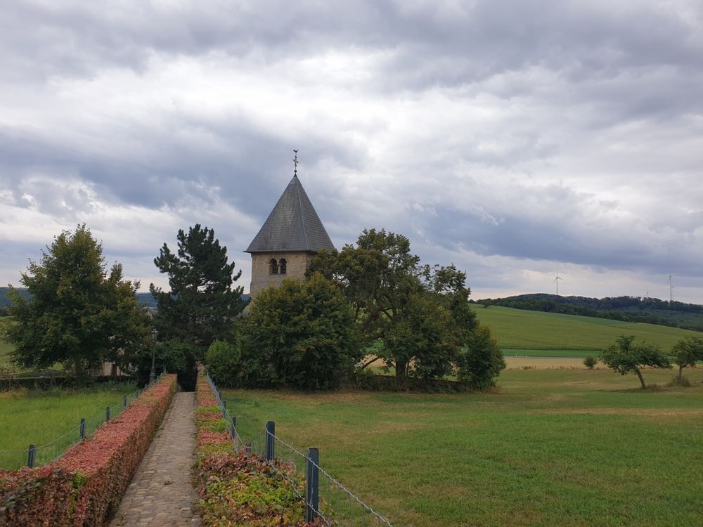
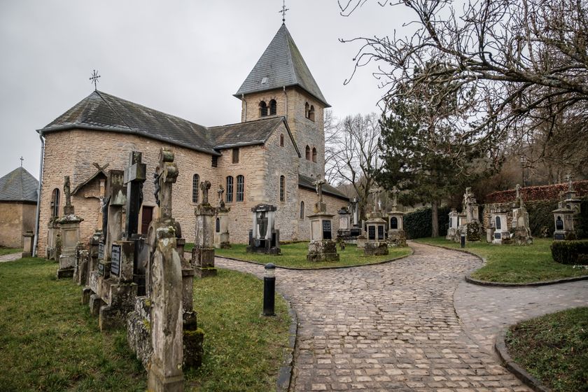
Parallel to the Sauer, the Mullerthal Trail continues in alternation between forest areas and open landscapes with beautiful orchard meadows towards Moersdorf. On this stretch, the pilgrimage chapel Girsterklaus is a special sight; it offers a wonderful view over the fields into the Untersauer valley from its exposed location.
From Girsterklaus, the Mullerthal Trail goes back down into the valley towards Hinkel. From the Mullerthal Trail, you can take a short detour to the village of Hinkel to the Kulturhaff “Millermoler”, which offers a tearoom and sells regional products for visitors to relax.
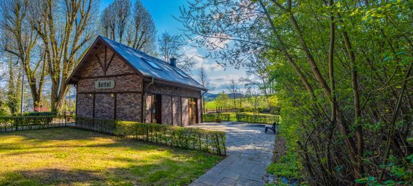
Through open landscapes and small sections of forest, the Mullerthal Trail then continues above the village of Born towards Moersdorf. On this section, you hike through fields and meadows and can enjoy wonderful views of the Sauer valley. In Born and Moersdorf there are places to stop for refreshments.
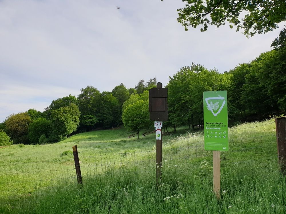
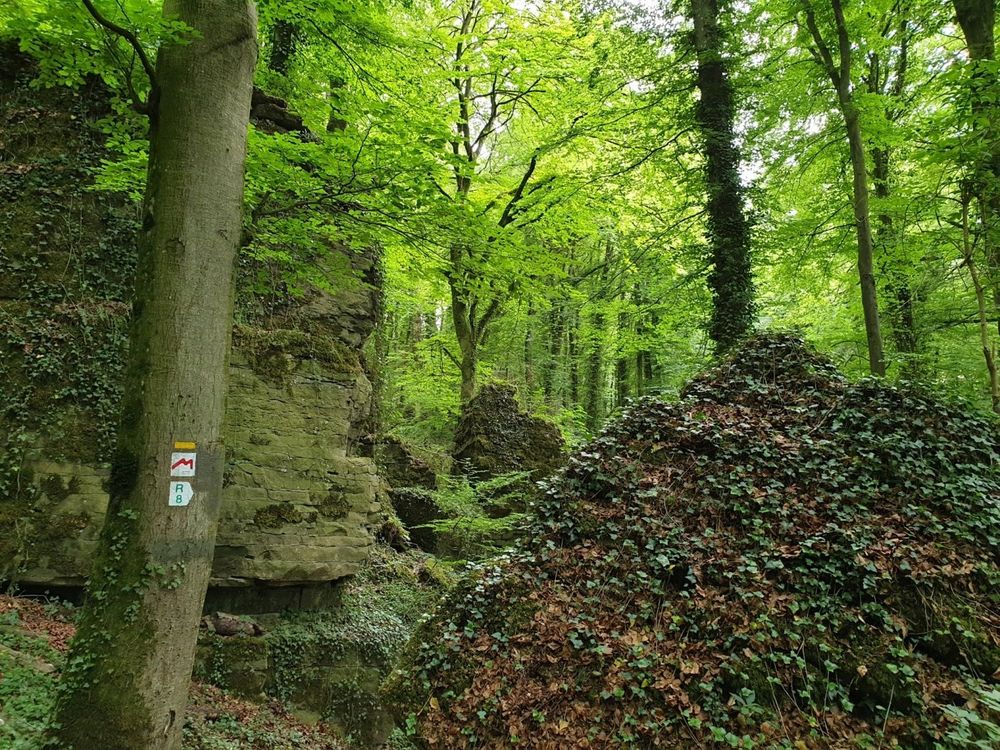
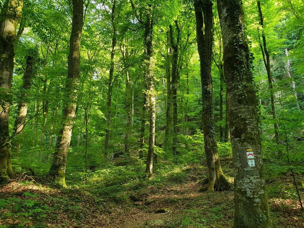
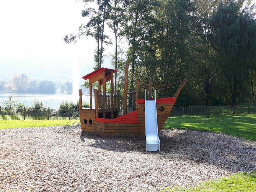
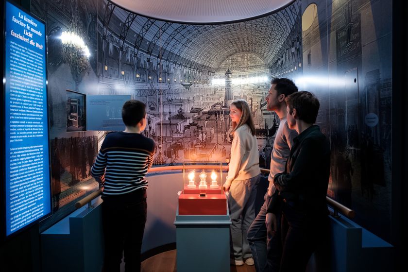
Behind Moersdorf, the path leaves the border river and leads west towards Mompach. From there, it goes over Herborn through the Hierberbësch nature forest reserve and the beautiful woodland landscapes of Haardt back to Echternach. On this section, hikers find pure nature, as there are no settlements in these forest areas (accordingly, there are no places to stop here). The Echternach Lake then invites you to rest and relax as the next highlight of the route. For the active, there is a diverse range of recreational activities here (e.g., the high ropes course Adventure Island at the youth hostel) and for the culturally interested, the Roman villa with museum. There are also places to stop for refreshments at Echternach Lake and in the center of Echternach.
For your safety
Slippery surfaces on wet rocks.
Equipment
Sturdy and well-broken-in footwear
Journey
By bus 110 to the bus station in Echternach
Getting there:
Route de Luxembourg to Echternach
Parking:
Parking at the bus station


 This website uses technology and content from the Outdooractive Platform.