Luxembourg Hiking
Heat and drought: help us protect nature
During periods of high temperatures and prolonged dry weather, the risk of vegetation and forest fires increases significantly. By following a few simple precautionary measures, everyone can help protect our natural landscapes and forests.
Read the recommendations issued by the Luxembourg authorities to help prevent vegetation and forest fires.
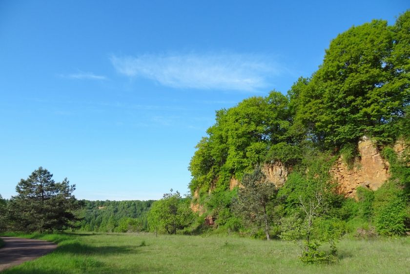
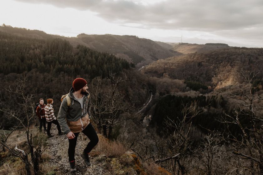
Dirbach©Jeniska Photography Hiking map
pdf | 5.60 MBDownload - Hiking map | pdf | 5.60 MBThe foldable hiking map includes a geographic orientation of the country’s walking trails as well as useful information about the activity. It provides an overview of the main hiking offer in Luxembourg, with guidance on where to find more specific information. One map in four languages (DE, FR, EN, NL).

Hiking trails in Luxembourg
35 results
©ORT Sud Distance trails28 CFL hiking trails from station to station: Oberkorn - Niederkorn
Distance: 8,69 kmFind out more
Duration: 2:25 h
Difficulty: medium©ORT Sud Distance trails23 CFL hiking trails from station to station : Rumelange - Kayl
Distance: 12,57 kmFind out more
Duration: 3:25 h
Difficulty: medium©Visit Luxembourg Distance trailsScenicCFL Railway Hiking Trail 3 (Clervaux - Drauffelt)
Distance: 6,76 kmFind out more
Duration: 2:05 h
Difficulty: medium©dcastigl@pt.lu2019, Visit Éislek Distance trailsCFL rail trail 13 (Colmar-Berg – Mersch)
Distance: 10,42 kmFind out more
Duration: 2:40 h
Difficulty: medium©Pulsa Pictures, ORT SUD Distance trails26 CFL hiking trails from station to station : Esch-sur-Alzette - Belvaux-Soleuvre
Distance: 9,05 kmFind out more
Duration: 2:30 h
Difficulty: medium©Visit Luxembourg Distance trails33 CFL hikes from station to station: Dippach-Reckange - Leudelange
Distance: 8,52 kmFind out more
Duration: 2:15 h
Difficulty: easy©CFL, Visit Luxembourg Distance trails32 CFL hiking routes from station to station: Bascharage-Sanem - Dippach-Reckange
Distance: 10,14 kmFind out more
Duration: 2:40 h
Difficulty: medium©Visit Luxembourg Distance trailsScenicCFL railway hiking trail 7 (Wiltz - Nocher - Kautenbach)
Distance: 13,10 kmFind out more
Duration: 4:00 h
Difficulty: medium©CFL, Visit Luxembourg Distance trails34 CFL hiking trails from station to station : Pétange - Kleinbettingen
Distance: 16,23 kmFind out more
Duration: 4:10 h
Difficulty: medium©ORT Sud Distance trails27 CFL hiking trails from station to station : Belvaux-Soleuvre-Oberkorn
Distance: 5,20 kmFind out more
Duration: 1:25 h
Difficulty: medium