Description
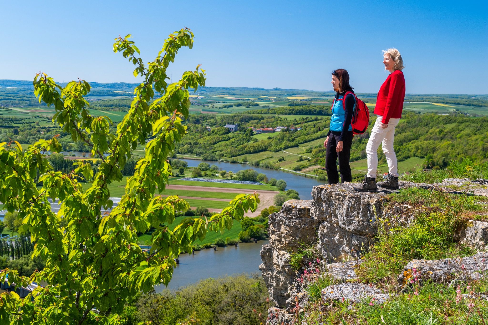
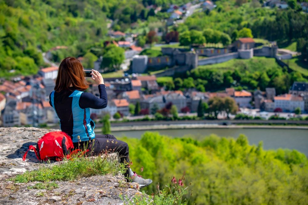
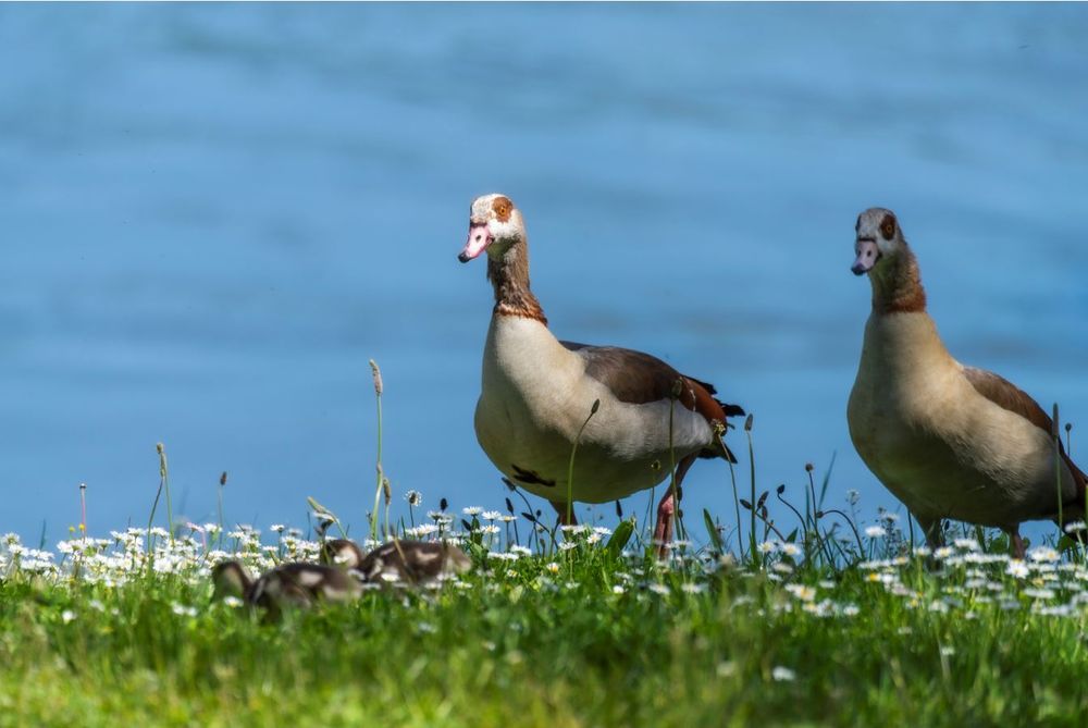
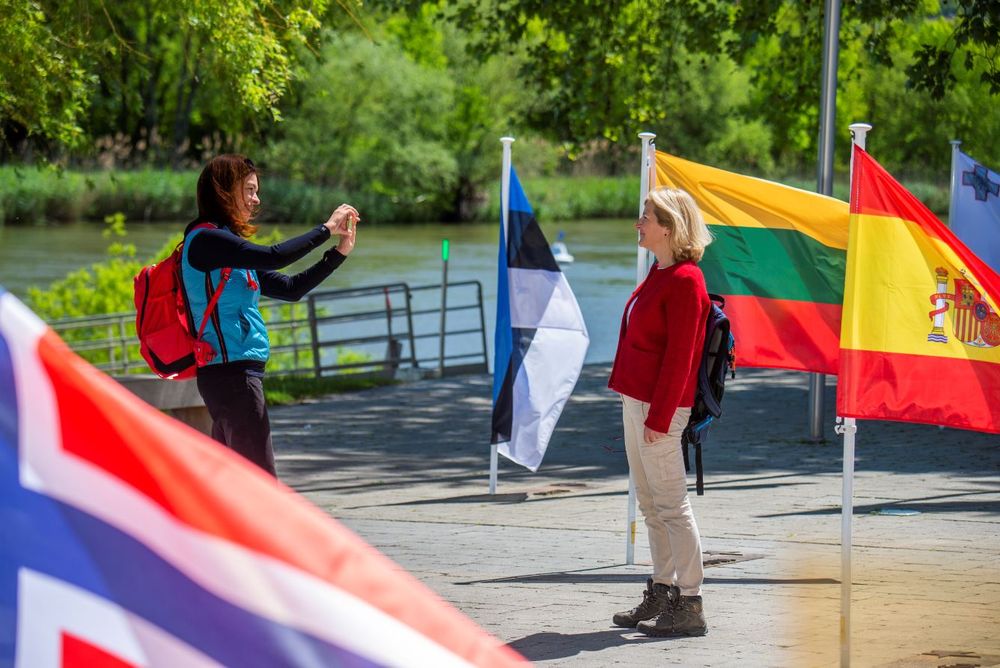
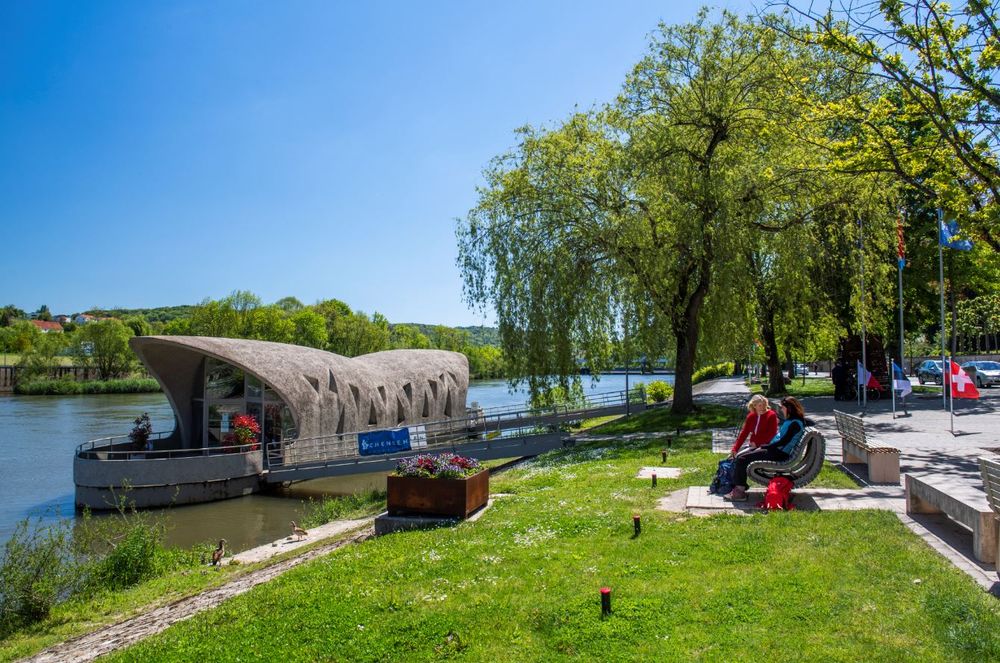
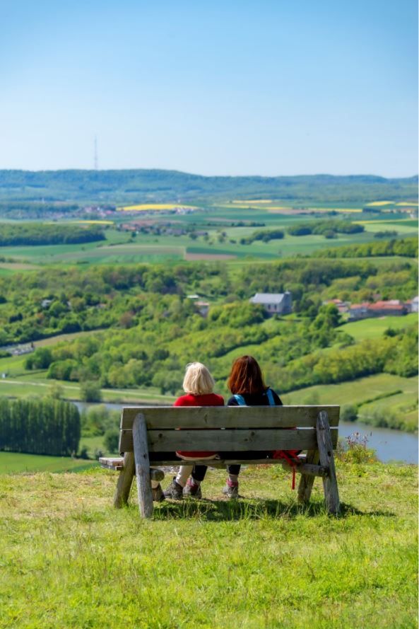
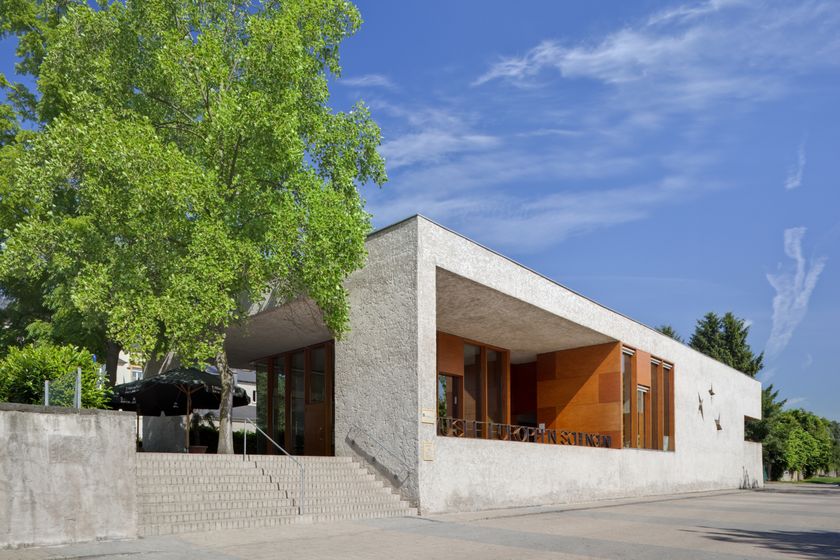
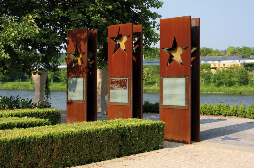
3 countries in 3 hours? From the European Museum, which became famous in 1985 due to the "Schengen Agreement", the hiking path takes you uphill to the nature reserve Strombierg and on to France in the surroundings of the winegrowing village of Contz-les-Bains. Once at the top, you will enjoy outstanding views over the Moselle valley situated in the tri-border area of Luxembourg, Germany and France. The steep vineyards and wild nature on the Strombierg make this hike a unique experience.After rainy periods, not or only restricted access!

Directions
The dream loop "Schengen grenzenlos - Schengen sans frontières" starts in the municipality of Schengen in the border triangle. The place became famous through the signing of the "Schengen Agreement" in 1985. The hike leads from the European Museum to the Stromberg nature reserve. The trail continues into France to the surroundings of the winegrowing village of Contz-les-Bains. Magnificent views into the Moselle valley, steep vineyards, wide views towards Luxembourg and Lorraine as well as the wild nature at the Stromberg make this hike a unique experience.
Refreshment stops:
Restaurant L'Inconnu
3, Route du Vin
L-5445 Schengen
Tel.: +352 26660505
www.restaurantlinconnu.lu
Hotel Restaurant Alte Maimühle
am Start in Perl (am Bahnhof)
Tel. +49 68 67113170
www.maimuehle.de
Equipment
Journey
Getting there: A8 Saarbrücken –Luxemburg exit Schengen. Continue on the N10 to the European Museum.
Parking: Parking spots in front of the Tourist Info, Rue Robert Goebbels
L-5444 Schengen


 This website uses technology and content from the Outdooractive Platform.