Circular routes Visit Luxembourg
Description
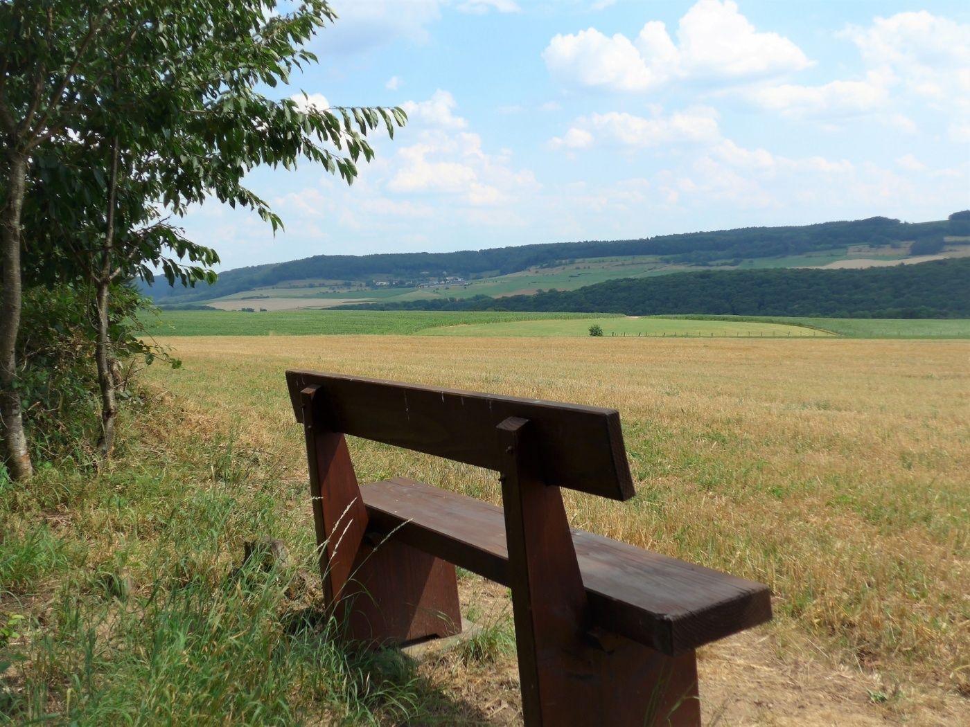
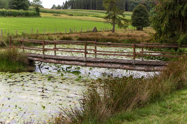
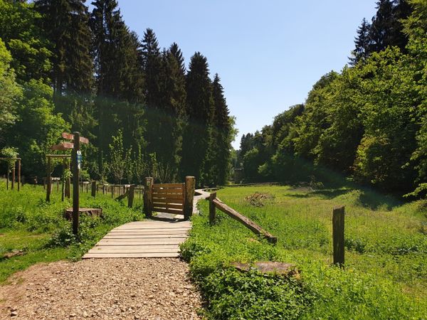
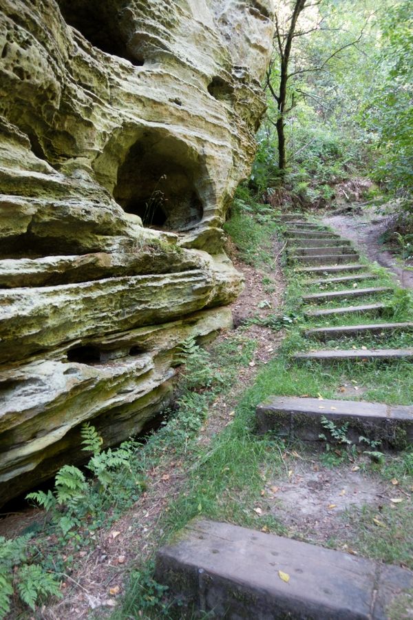
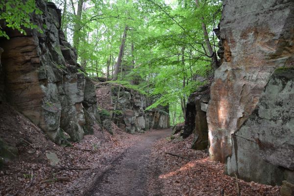
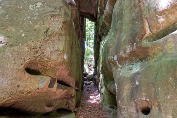
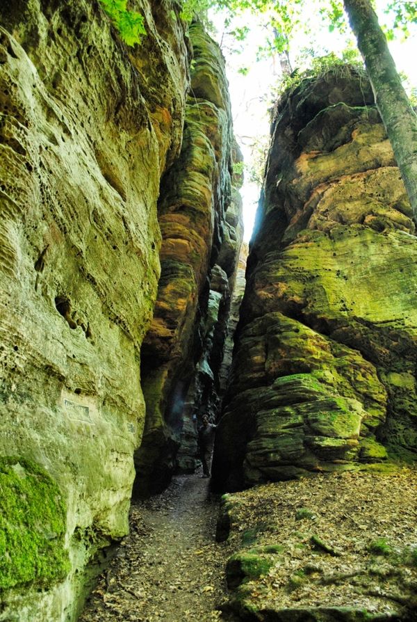
Pleasant hike, mostly leading through an open countryside offering beautiful views.
At the beginning, this path leads over the Sûre bridge into Ronnebësch to Léibësch. Then you descend into the valley of the Our and continue on a cycle path that takes you to the valley of the Sûre.
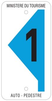
Signposting
Equipment
Sturdy shoes and something to drink.
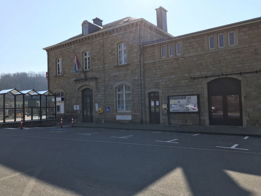
Journey
Public transport: Closest bus stop: Reisdorf, Bei der Gare (50 m)
Parking: Closest parking lot: Op der Gare (100 m)
Parking: Closest parking lot: Op der Gare (100 m)

 This website uses technology and content from the Outdooractive Platform.