Rondwandelroutes Visit Luxembourg
Beschrijving
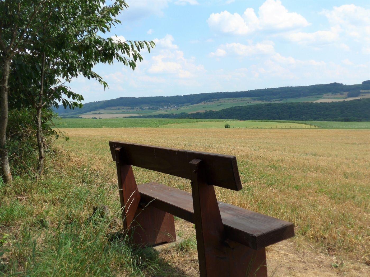
Aangename rondwandeling die grotendeels door open landschap loopt en prachtige uitzichten over het landschap biedt.
Deze route leidt in het begin over de Sauerbrug in de Ronnebësch naar de Léibësch. Daarna daal je af in de vallei van de Our voordat een fietspad je naar de vallei van de Sauer leidt.
Bewegwijzering

Uitrusting
Stevige schoenen en iets te drinken.
Aankomst
Openbaar vervoer:
Parking:
Dichtstbijzijnde bushalte: Reisdorf, Bei der Gare (50 m)
Parking:
Dichtstbijzijnde parkeerplaats: Op der Gare (100 m)


 Deze website maakt gebruik van technologie en inhoud van het Outdooractive Platform.